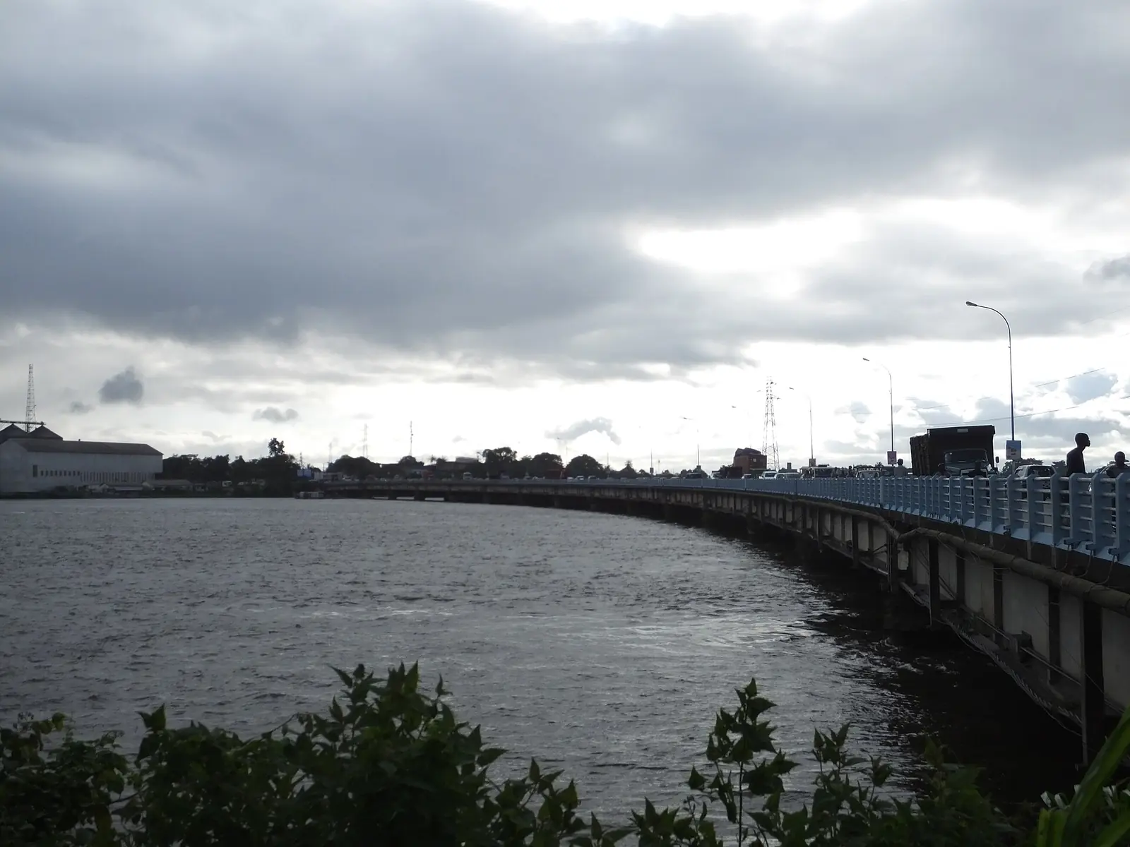
Wouri, the Littoral division that is Douala: the Wouri estuary, the port city and its six subdivisions, from Bonanjo to Manoka island.
Cities in Wouri Division
Subdivisions of Wouri Division
Wouri Division has 6 subdivisions.
Douala I
Chief town: Bonanjo
Douala I guideDouala II
Chief town: New Bell
Douala II guideDouala III
Chief town: Logbaba
Douala III guideDouala IV
Chief town: Bonassama
Douala IV guideDouala V
Chief town: Bonamoussadi
Douala V guideDouala VI
Chief town: Manoka
Douala VI guide
Places in Wouri Division
Where it is and what it's like
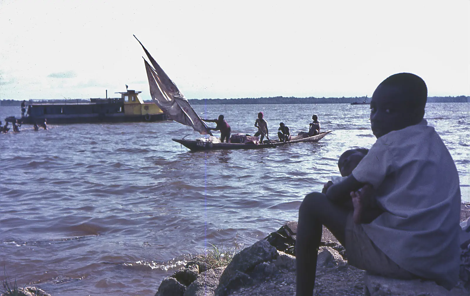
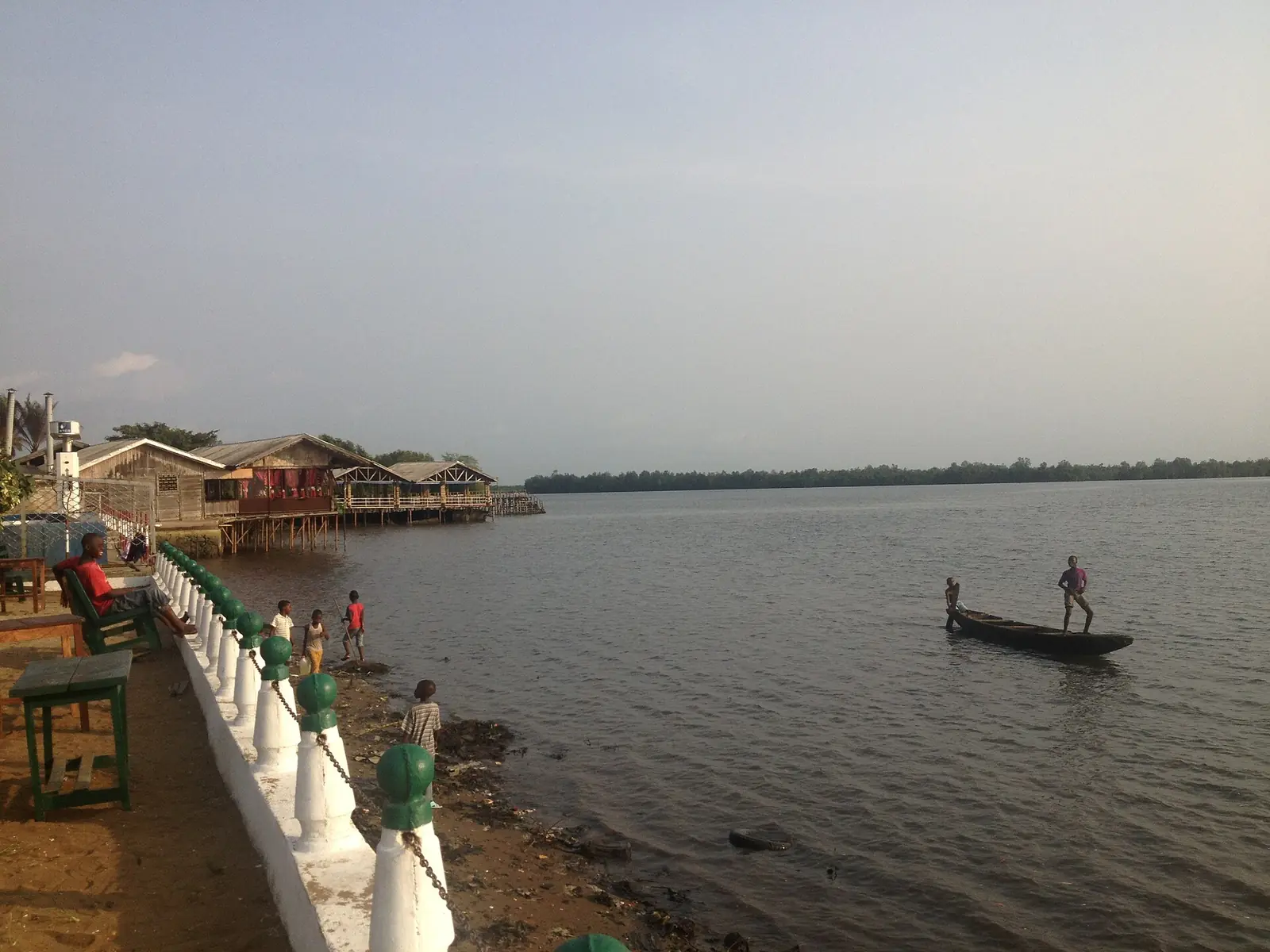
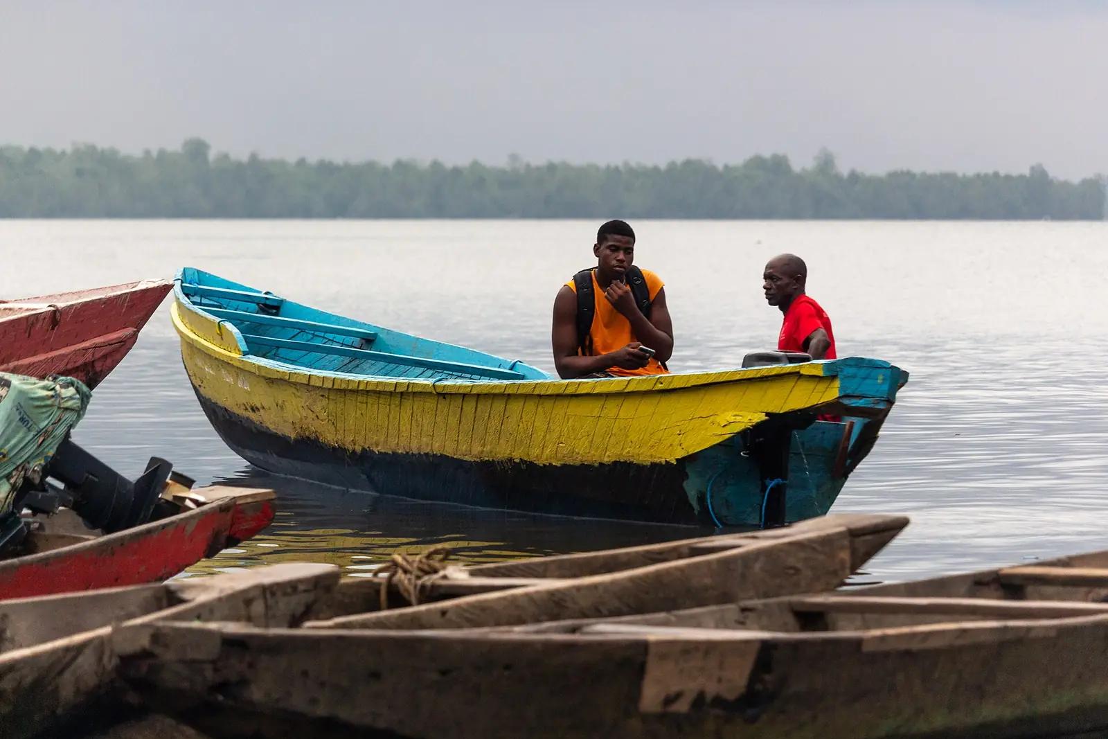
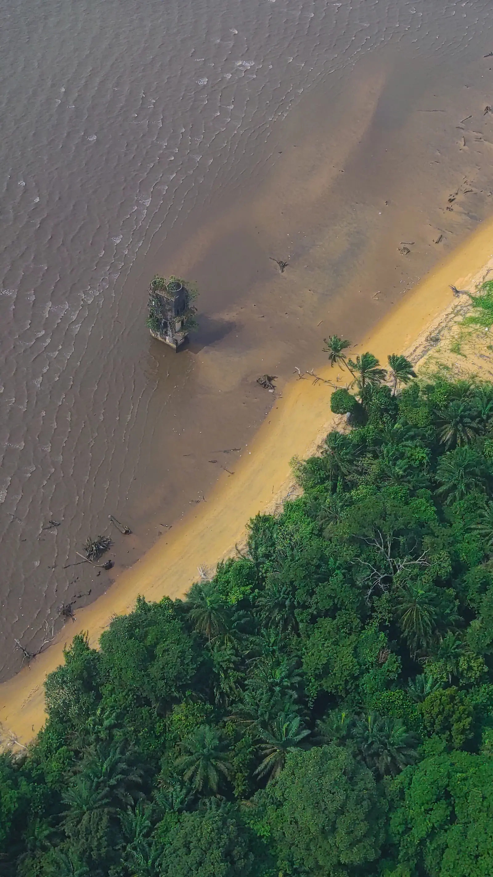
Wouri is the smallest of the Littoral's four divisions, at 923 km², and by far the most populous. It is the coastal plain and estuary around Douala, between 0 and 100 m above sea level, where the Wouri, the Dibamba and the Moungo meet the sea among mangroves. The national statistics office describes its soils as heavily leached by rain and of very low farming value, and notes beaches at Manoka.1,5
People and how it's organised
The 2005 census counted 1,931,977 people, 98.7% of them urban. The statistics office projects about 3.2 million for around 2020, though its own tables place 3,241,338 in 2020 in one table and in 2019 in another. The estuary is the heart of Duala country, and Duala is the city's lingua franca, though Douala now draws people from across Cameroon.1,3,4
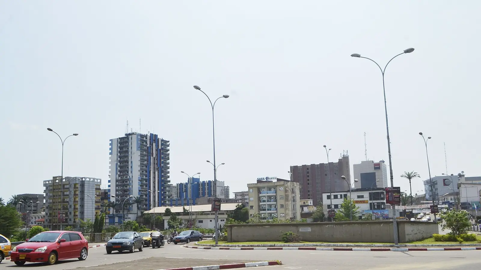
The division has six arrondissements, Douala I to VI, each matching a borough council (commune d'arrondissement). Together the six councils form the Douala urban community, which covers the same 923 km² as the division, so division and city share one territory. Douala VI, on Manoka island, is the rural one.1,2
History
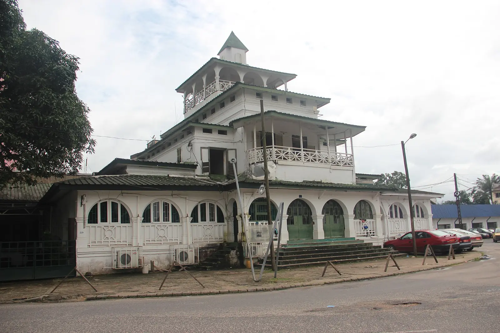
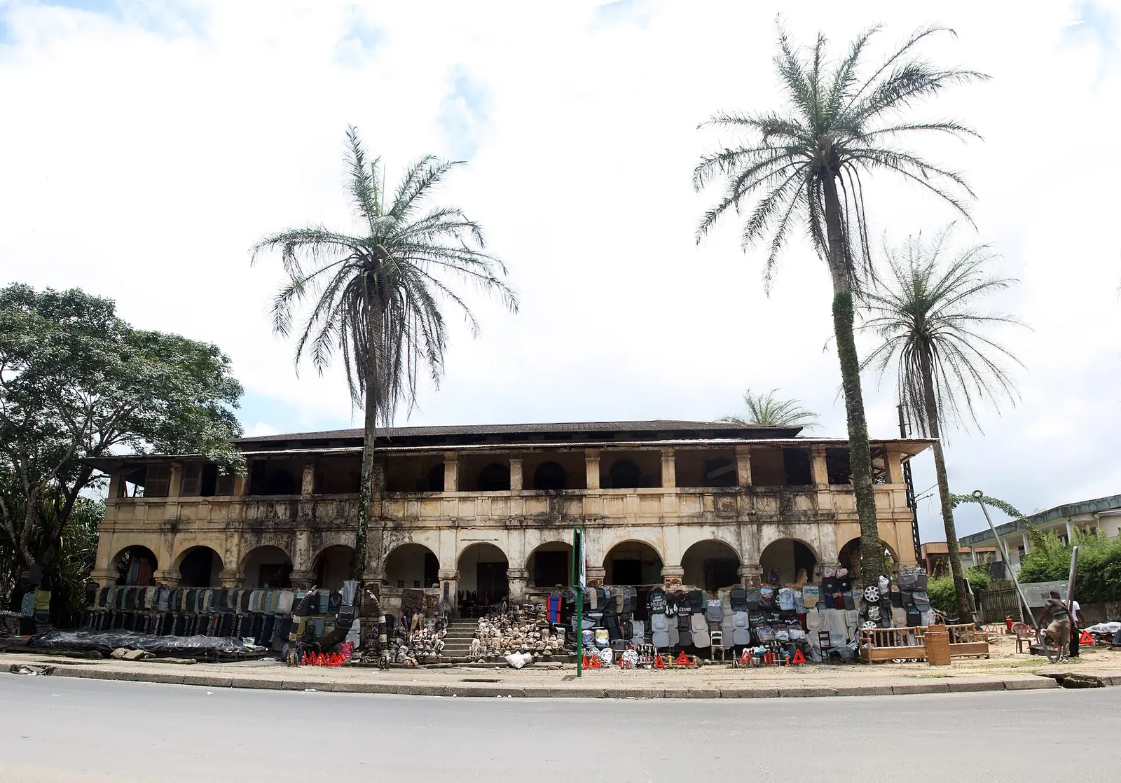
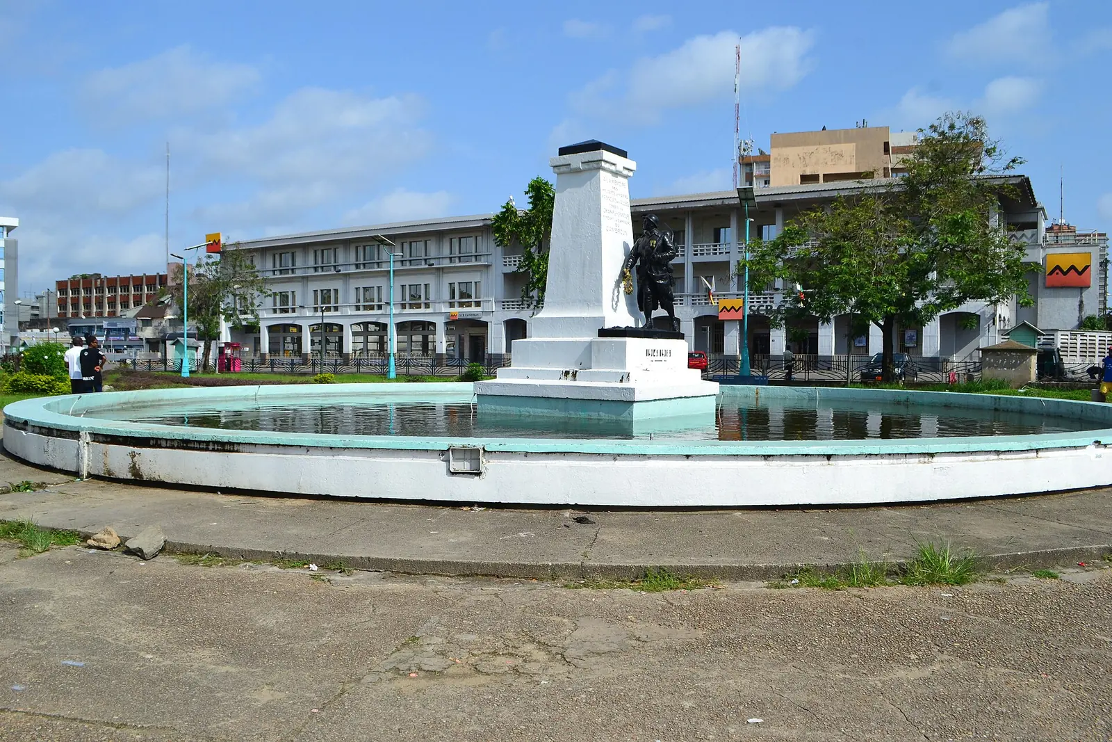
Portuguese sailors reached the estuary around 1472 and called it Rio dos Camarões. A Duala-speaking town existed by about 1650. Under German rule from 1884 it was Kamerunstadt, the colony's capital until 1902, and took the name Douala in 1907. It was Cameroon's capital again from 1940 to 1946. The French renamed the Douala district the Wouri region in 1935, and it became a division (département) in 1959.3,7
What it's known for
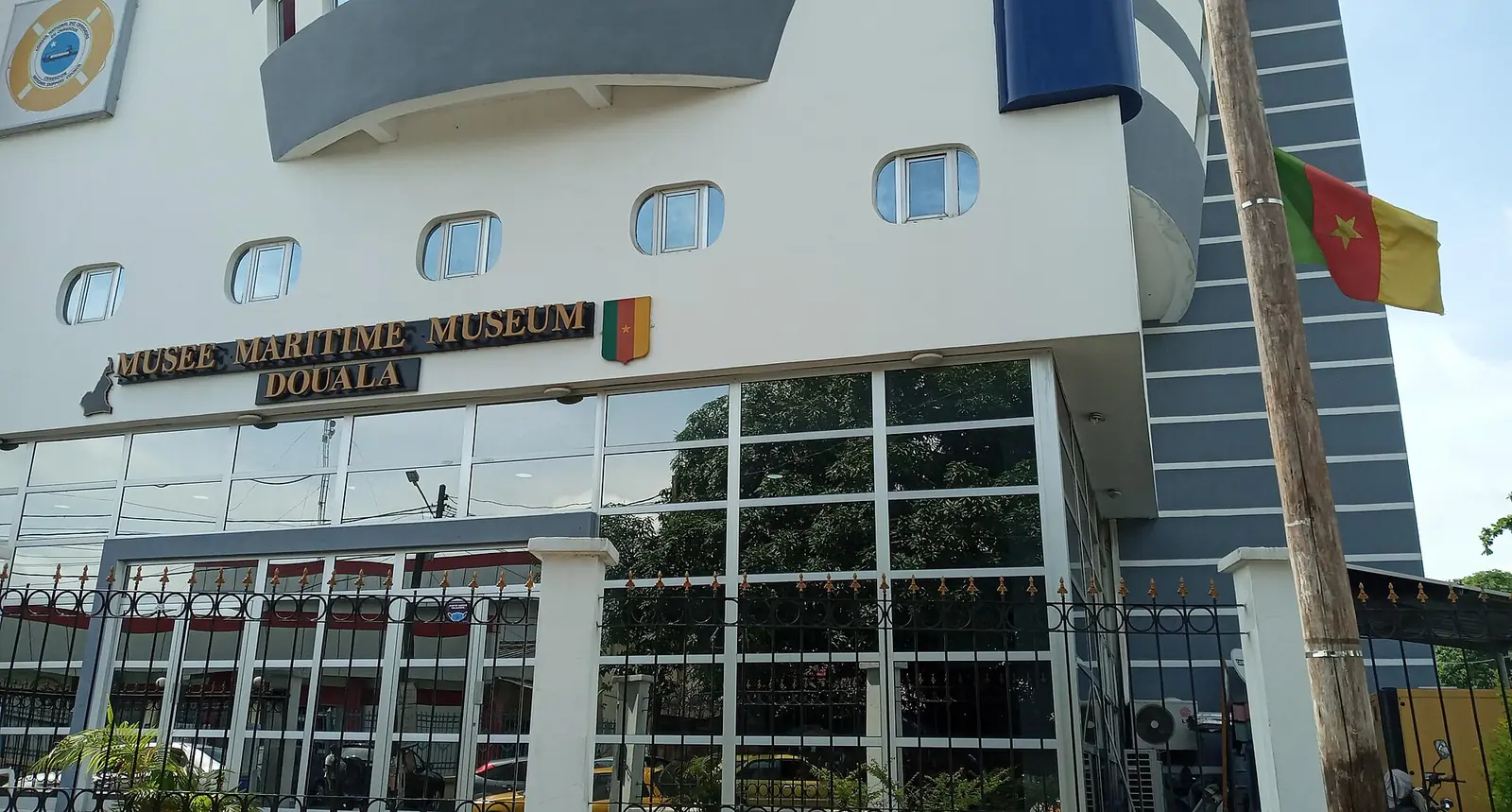
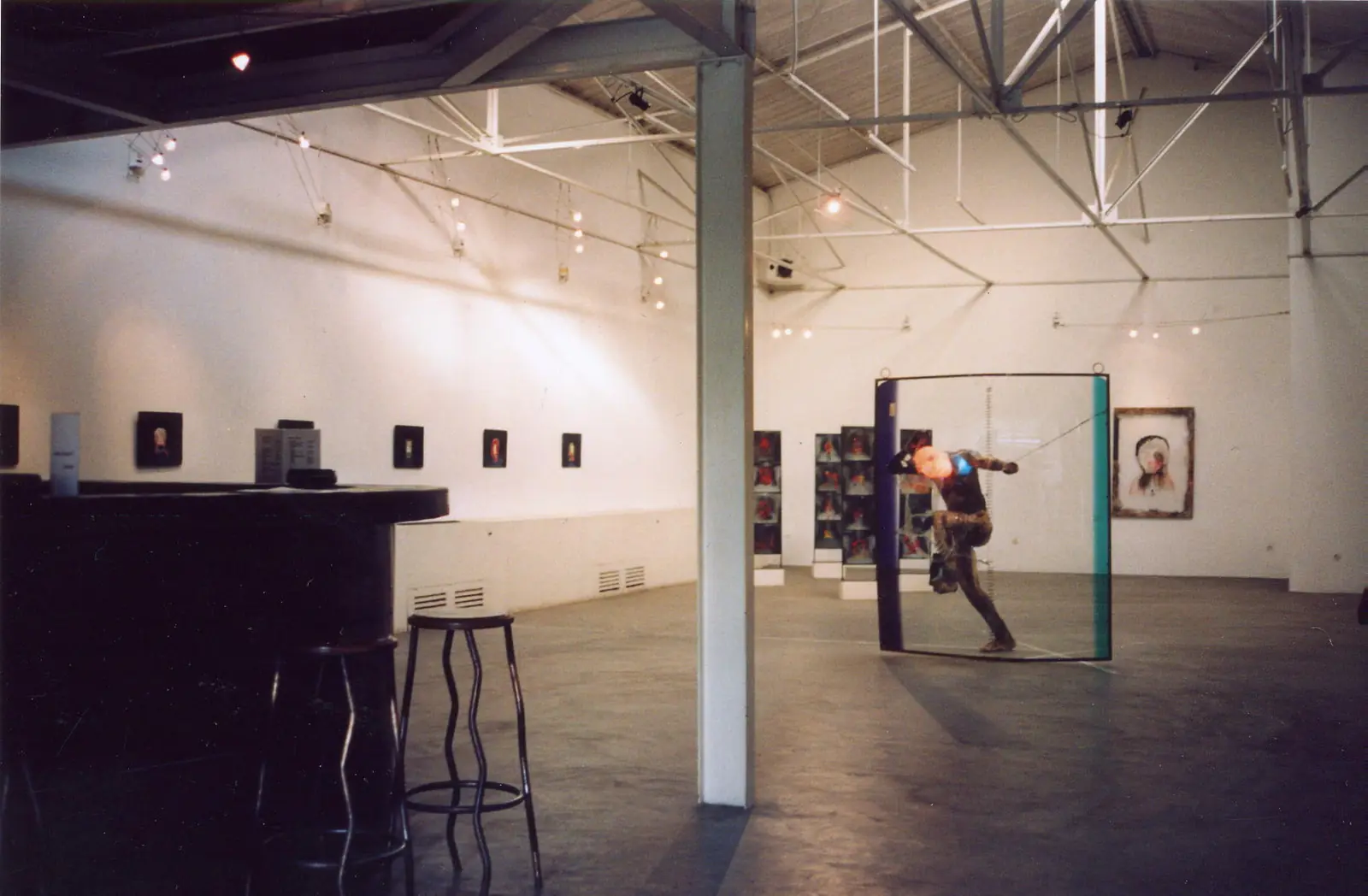
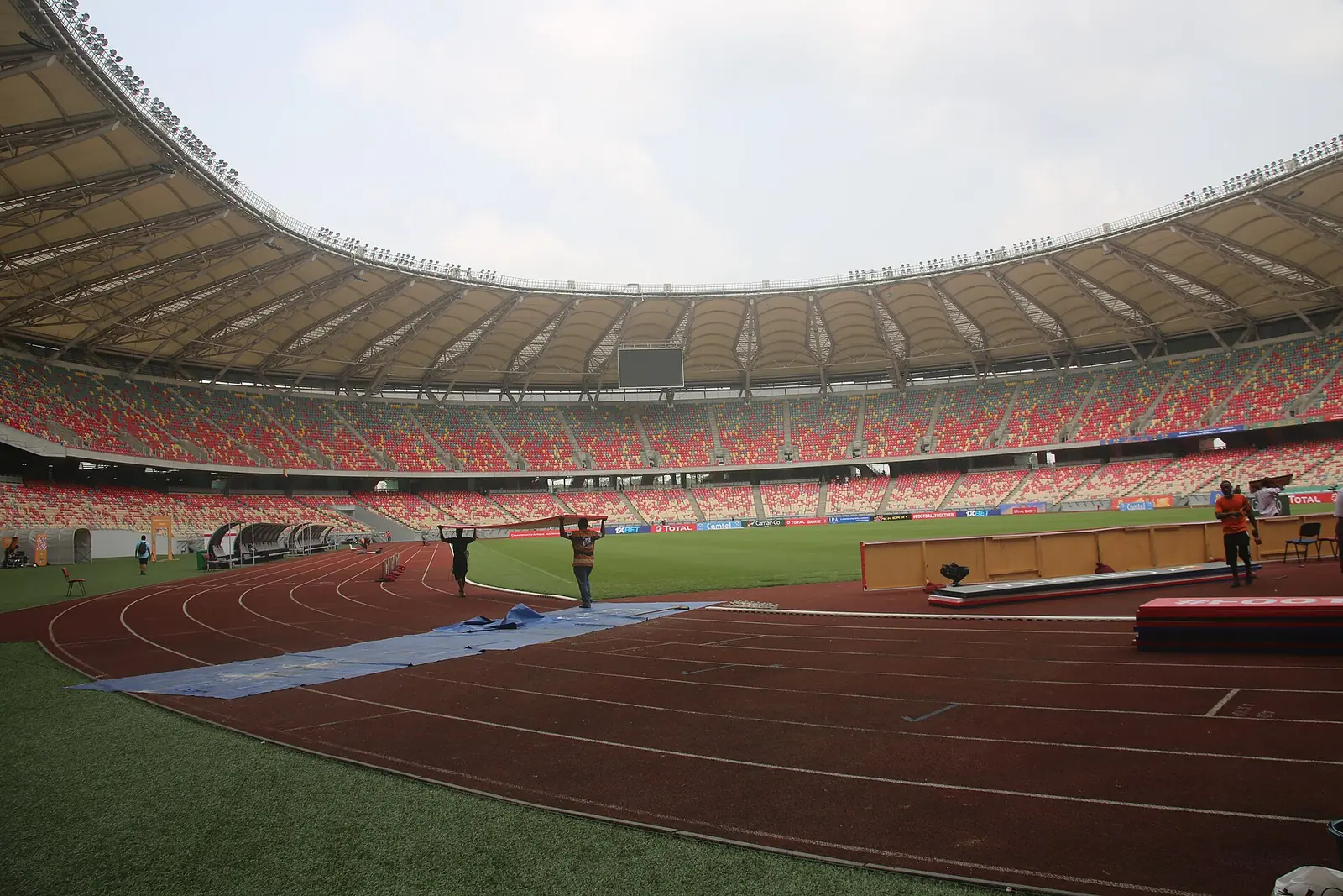
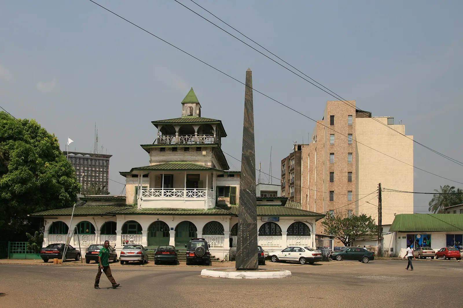
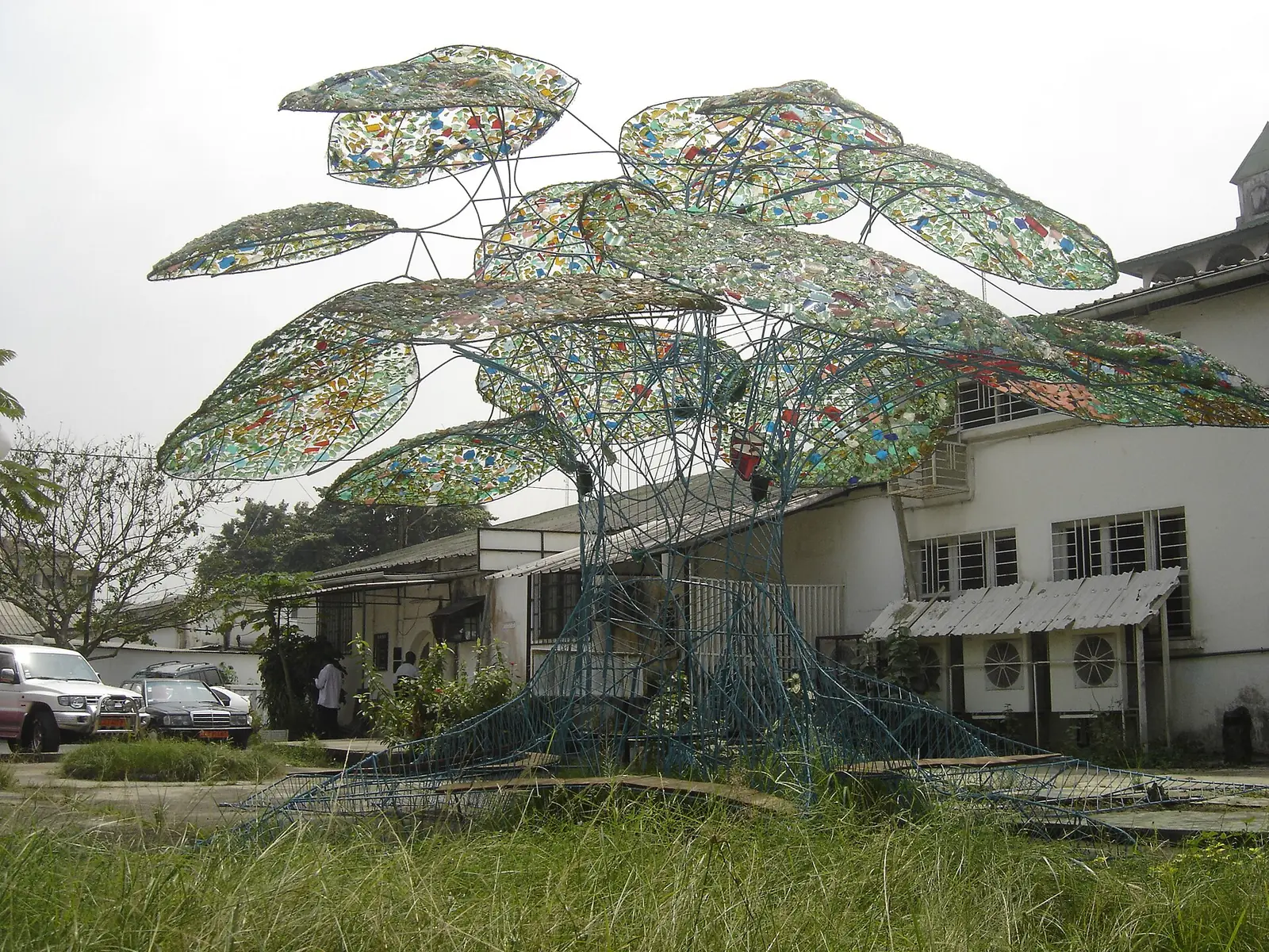
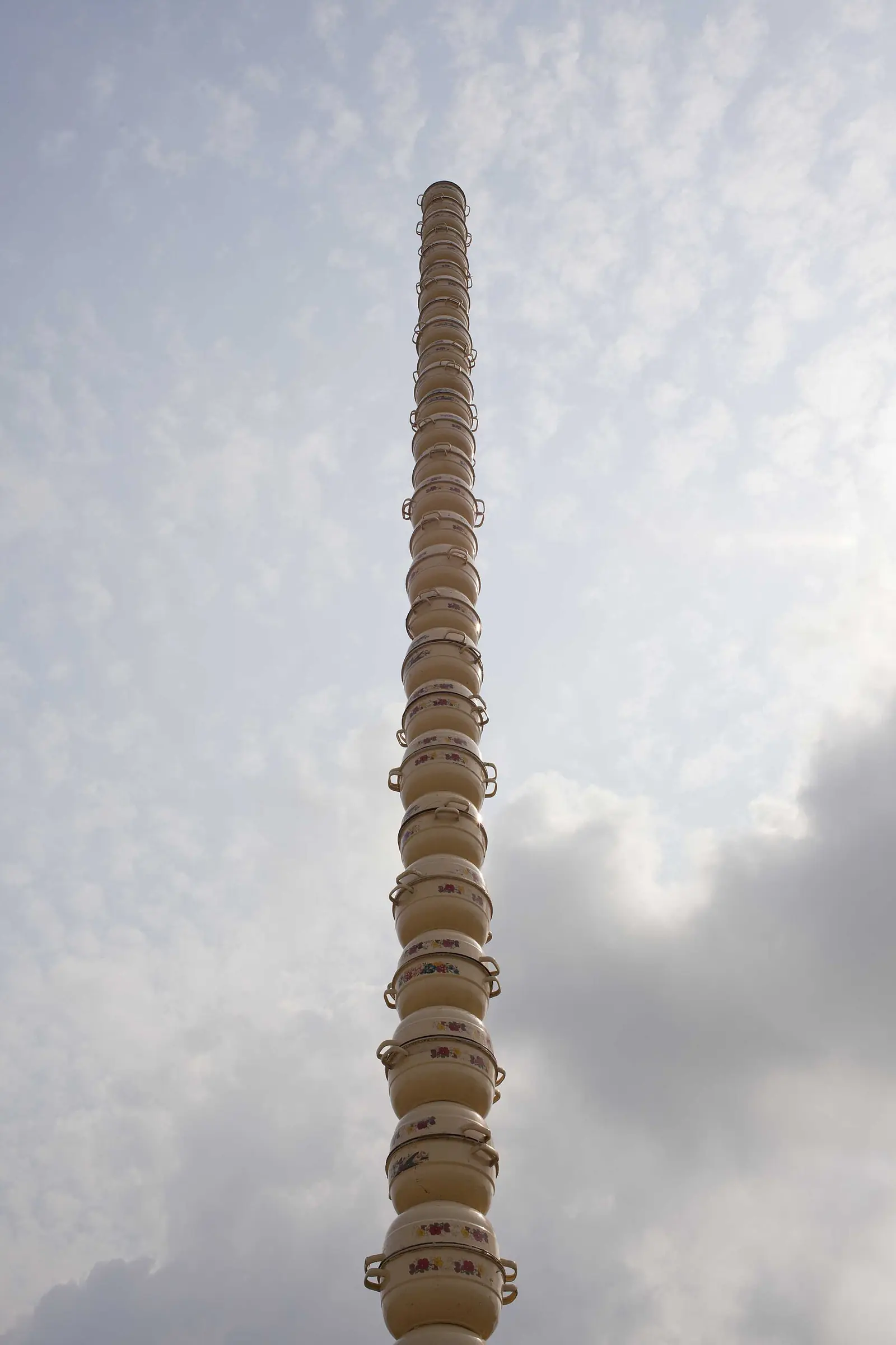
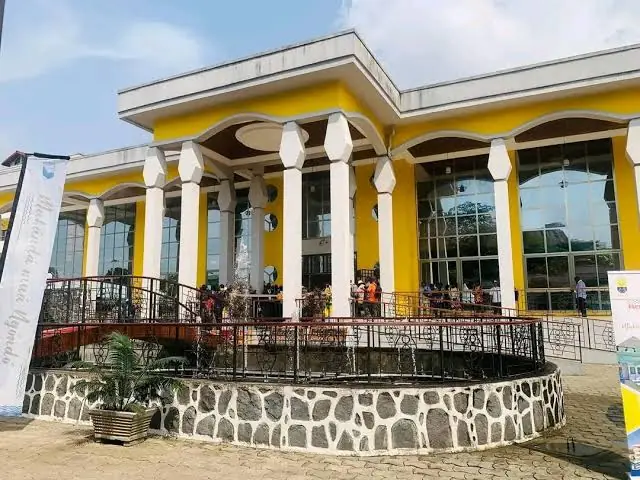
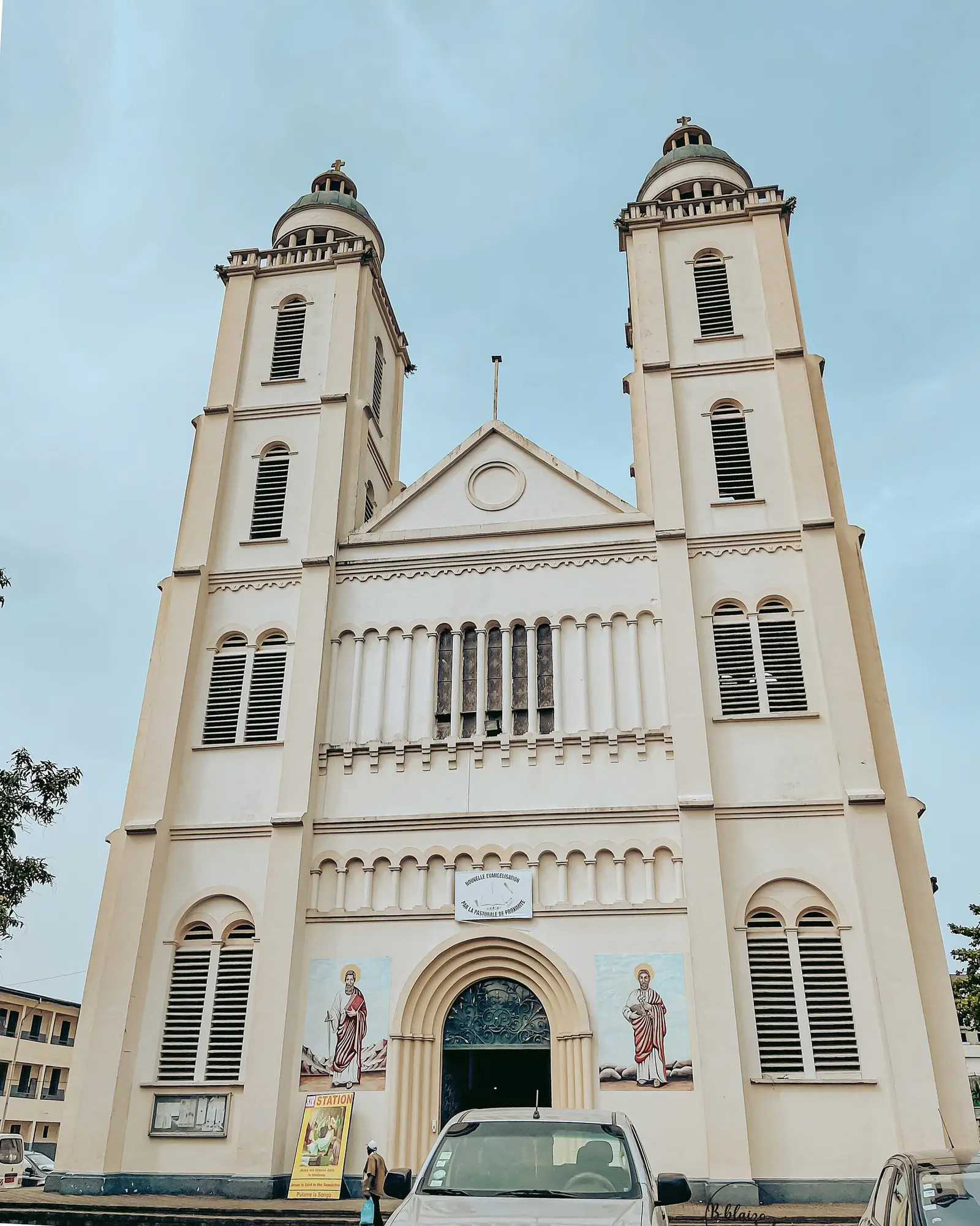
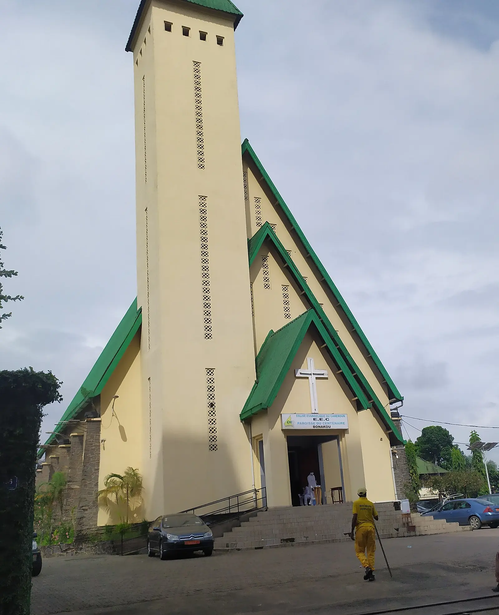
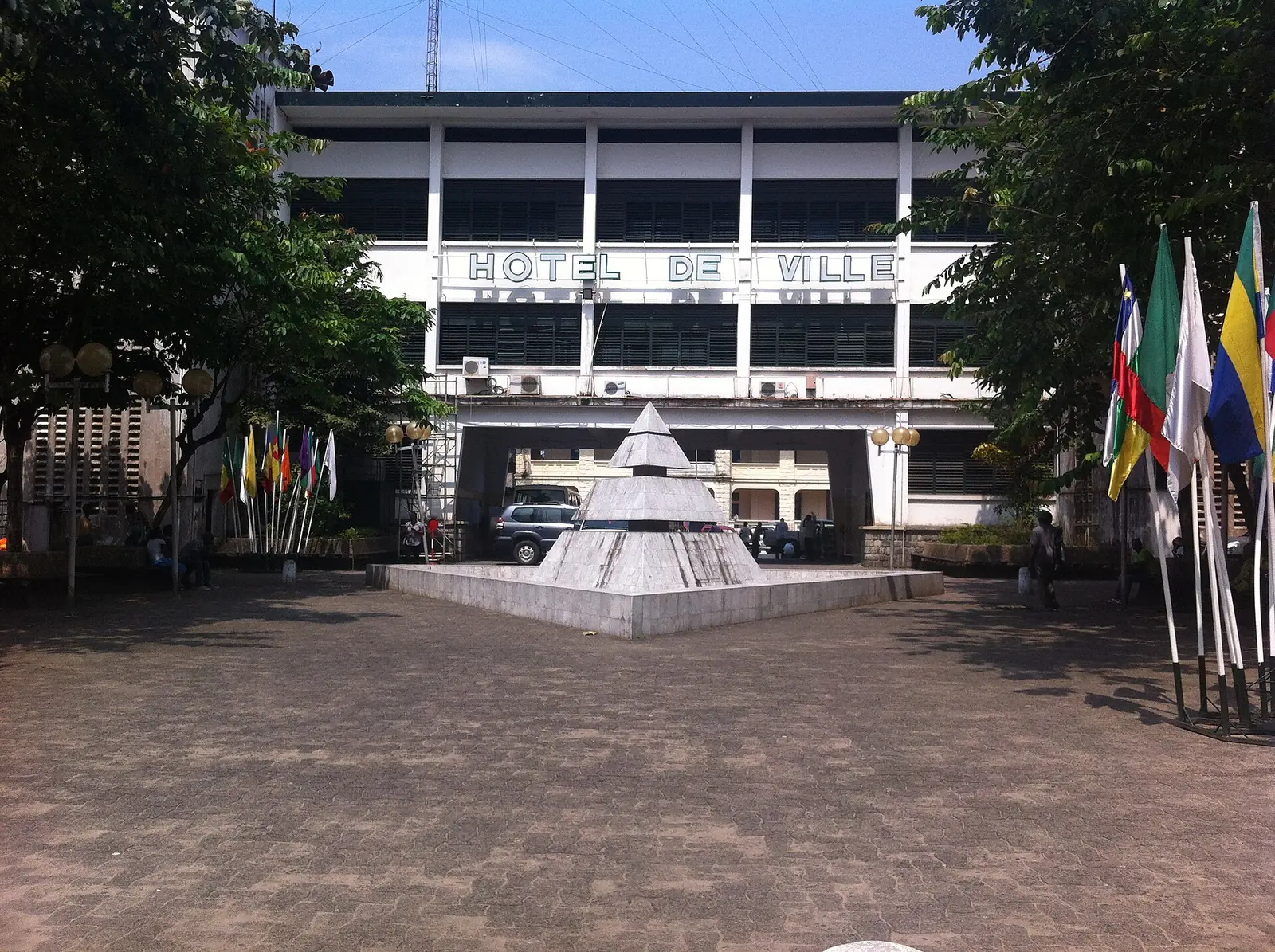
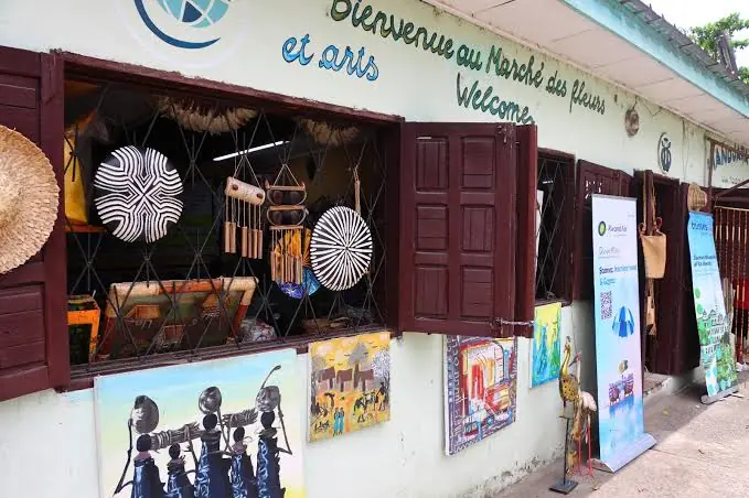
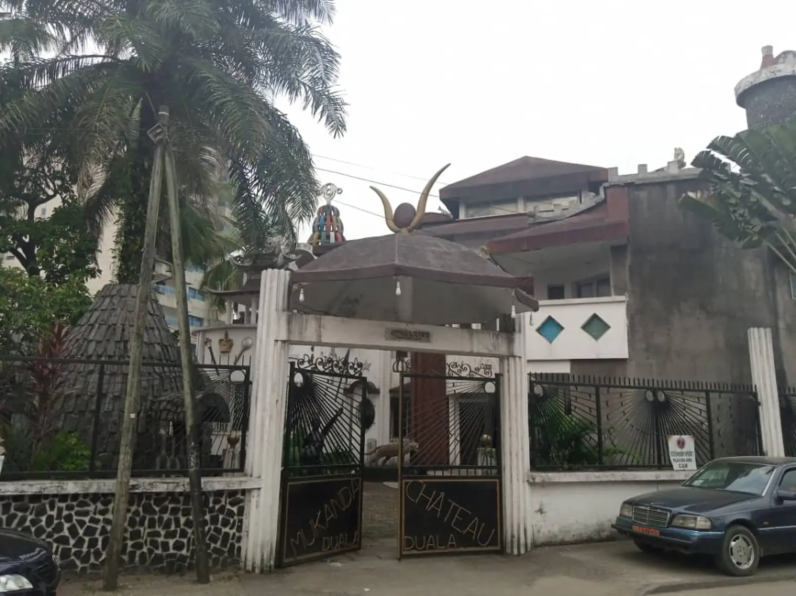
Most of the site's Littoral places are here. The Douala Maritime Museum, La Pagode and the doual'art centre are all in Bonanjo, in Douala I, and the Japoma Sports Complex is in Douala III. The Wouri Estuary runs along the division's edge. The regional tourism office's list adds Manoka island in Douala VI, the Dika Akwa palace in Douala I, the Matanda mangroves in Douala IV and the Youpwé fish market in Douala II. Part of Douala-Edéa National Park lies in the Manoka subdivision.6,8,9
Getting there
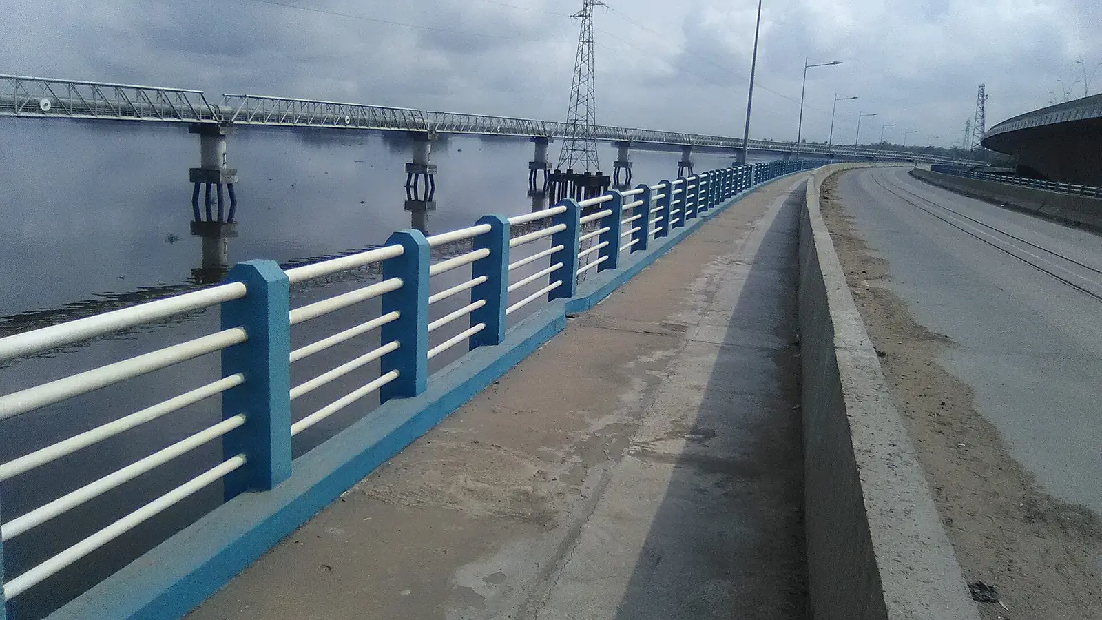
Douala International Airport (DLA) is the main gateway, and Camrail trains link the city with Yaoundé. Two road bridges cross the Wouri to Bonabéri: the first, about 1 km long, dates from the 1950s, and a second, about 756 m long with a railway alongside, was due to open in 2018. A rail bridge of 1955 joined the lines to Yaoundé and Nkongsamba.3,5,10
Map
Still to confirm
Our sources can't yet confirm these points:
- Official current population of Wouri and of each Douala subdivision (INS tables disagree on the year of the 3.2 million projection)
- The exact areas of Douala I to VI: INS and French Wikipedia give very different figures
- The urban community's creating decree (87/1366 of 24 September 1987, per French Wikipedia) and how the city mayor's office is set up under the 2019 decentralisation code
- Current Camrail passenger timetables
Sources for this page
Information checked on 18 November 2026. It may have changed since.
- Annuaire statistique de la région du Littoral, édition 2023 (data to 2022): Tableau 2-1 (administrative map, source MINATD), Tableau 2-2, Tableaux 4-1 to 4-3, Institut national de la statistique, Agence régionale du Littoral (undated)
- Communauté urbaine de Douala, Wikipédia (18 November 2026)
- Douala, Wikipedia (18 November 2026)
- Duala people, Wikipedia (18 November 2026)
- Wouri River, Wikipedia (18 November 2026)
- Le Littoral en chiffres, édition 2023: Tableau 5-1, main tourist sites by arrondissement (source DRTOUR LT), Institut national de la statistique, Agence régionale du Littoral (undated)
- Département du Wouri, Osidimbea, la mémoire du Cameroun (undated)
- Décret du 11 octobre 2018 portant mutation de la Réserve de faune de Douala-Edéa en Parc national de Douala-Edéa, Services du Premier ministre (11 October 2018)
- OpenStreetMap Nominatim: boundary relations of the Littoral's divisions and subdivisions (search), and reverse lookups of the site's place coordinates, OpenStreetMap contributors / Nominatim (18 November 2026)
- History of rail transport in Cameroon, Wikipedia (18 November 2026)