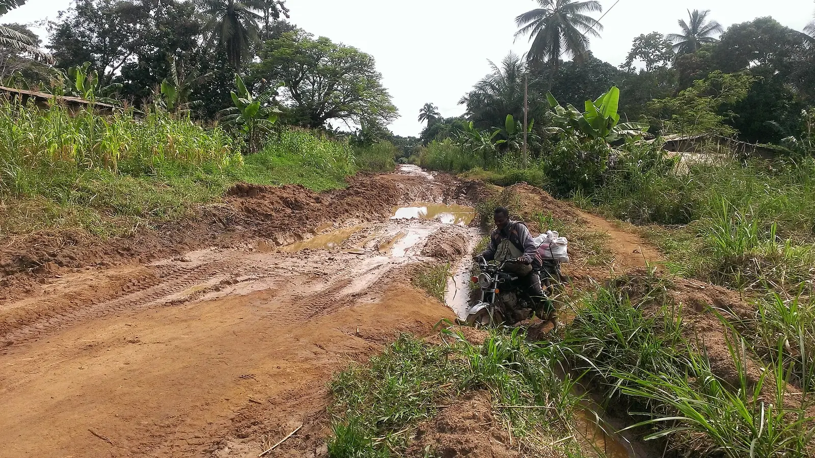
Mbam-et-Inoubou, the Centre's western division: Bafia and the savanna of the Mbam, home to the Bafia, Yambassa and Banen peoples.
Subdivisions of Mbam-et-Inoubou Division
Mbam-et-Inoubou Division has 9 subdivisions.
Bafia
Chief town: Bafia
Bokito
Chief town: Bokito
Deuk
Chief town: Deuk
Kiiki
Chief town: Kiiki
Kon-Yambetta
Chief town: Kon-Yambetta
Makénéné
Chief town: Makénéné
Ndikiniméki
Chief town: Ndikiniméki
Nitoukou
Chief town: Nitoukou
Ombessa
Chief town: Ombessa
Where it is and what it's like
Mbam-et-Inoubou is the western division of the Centre region, partly wedged between the West region to the north and the Littoral to the west and south. It covers 7,125 km². The statistics office describes it as mainly wooded savanna, with gallery forests in the river valleys, and lists it among the divisions richest in wildlife. The Mbam, the Sanaga's main tributary, gives the division part of its name.4,1
People
History
Osidimbea traces the division back to the colonial subdivision of Yoko, renamed Bafia in 1920. Bafia became a circonscription in 1927 and the Mbam region in 1935, and a decree of 8 August 1959 made the Mbam a division. In 1992 the Mbam was split in two: Mbam-et-Inoubou, with Bafia as chief town, and Mbam-et-Kim, with Ntui. Kiiki and Kon-Yambetta date from 2007 and Nitoukou from 2010. English Wikipedia says the Bafia prefecture building was put up in 1920 by Italian prisoners of the First World War, under French supervision.2,5
What it's known for
Bafia hosts Mbam'Art, an event listed by Osidimbea and illustrated on French Wikipedia with photos of dancers and traditional chiefs. The regional tourism office's 2017 inventory counted thirteen tourist sites in the division, the most outside Yaoundé, including three waterfalls. Farming dominates, and Wikipedia's photos of Bafia show yam harvests and market stalls. None of the site's places is in this division yet.2,4,6,5
Main towns and getting there
Bafia, the chief town, lies about 120 km north of Yaoundé; English Wikipedia gives 121 km by road from the Tongolo bus station in northern Yaoundé, and about 360 km from Douala via Yaoundé, or about 390 km via Bafang. The statistics office projects about 77,000 people for Bafia subdivision in 2023 and 67,000 for Bokito.5,1
Map
Still to confirm
Our sources can't yet confirm these points:
- Whether the Mbam'Art festival is still held, and when
- Which of the inventory's waterfalls are in the division, and how they are reached
- Official current population (the 2023 figures are INS projections from the 2005 census)
Sources for this page
Information checked on 19 November 2026. It may have changed since.
- Annuaire statistique de la région du Centre, édition 2025: chapter 1 (relief, rivers, vegetation, protected areas; Tableau 1-2, ethnolinguistic groups), Tableaux 2-2 and 2-3 (administrative map at 31 December 2024, source MINAT), Tableau 4-6 (area and population by division, 2005 census and 2023 projection), Institut national de la statistique, Agence régionale du Centre (undated)
- Département du Mbam & Inoubou, Osidimbea, la mémoire du Cameroun (undated)
- OpenStreetMap Nominatim: boundary relations of the Centre's divisions and subdivisions (search), and reverse lookups of the site's place coordinates, OpenStreetMap contributors / Nominatim (19 November 2026)
- Mbam-et-Inoubou, Wikipédia (19 November 2026)
- Bafia, Wikipedia (19 November 2026)
- Annuaire statistique de la région du Centre, édition 2020: Tableau 21-1, tourist sites by division and type in 2017 (source MINTOUL, Centre regional delegation), Institut national de la statistique, Agence régionale du Centre (undated)