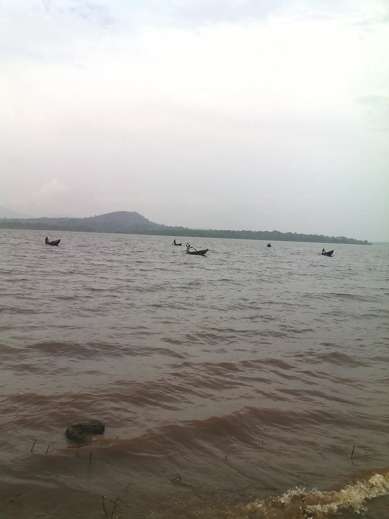
Ngo-Ketunjia, the Northwest's smallest division, on the Ndop Plain: Ndop, Babessi and Balikumbat, by the Bamendjing reservoir.
Subdivisions of Ngo-Ketunjia Division
Ngo-Ketunjia Division has 3 subdivisions.
Babessi
Chief town: Babessi
Balikumbat
Chief town: Balikumbat
Ndop
Chief town: Ndop
Where it is and what it's like
Ngo-Ketunjia is the region's smallest division, at 1,126 km², and its second most densely settled, with about 166 people per km² in 2005. It lies on the Ndop Plain, which Kaberry described in 1952 as averaging about 3,000 ft (some 900 m), below the escarpment at Nsaw and Oke. Ndop town stands at about 1,220 m.1,4,7
The Bamendjing dam, completed in 1974 across the Noun, a tributary of the Sanaga, holds back a reservoir that supplies the Edéa power station. Its waters flooded much of Bambalang's farmland and left islands such as Mbissa, Nkeshie and Mishie; thousands of fishermen now depend on the lake.5
Peoples and languages
The 2005 census counted 187,348 people, up from 117,093 in 1987. Balikumbat had 68,537, Ndop 69,603 and Babessi 49,208. The Governor's office counts eleven second-class chiefdoms and no first-class ones.1
The plain is a patchwork of small fondoms. Ndop commune alone takes in Bambalang, Bamali, Bamessing and Bamunka. Bambalang, with 20,863 people in 2005, is mainly Mbaw-Yakum, whose origins are traced to Ndobo in the Adamawa and to Tikar villages of the plain; it has had 33 Fons. The Babungo speak Vengo, with 27,000 speakers by one count and about 14,000 by another.4,5,6
History
Osidimbea dates the division to 1992. The plain is part of other peoples' histories too: Kom tradition places the Kom's first settlement at Babessi before their move to Laikom. In 1952 Kaberry found the Ndop Plain producing a surplus of grain, with groundnuts and Bambara nuts flourishing in the lowlands and a sugar crusher at work.2,7,8
What it's known for
Main towns
Ndop is the chief town; Wikipedia gives 30,467 people for it in 2012, against 69,603 for the whole subdivision in 2005. The other seats are Babessi and Balikumbat. OpenStreetMap maps the three subdivisions under the same names. English Wikipedia's page on the division also lists Bangourain and Galim, which the statistics office does not count among the Northwest's subdivisions.1,4,9,10
Map
Still to confirm
Our sources can't yet confirm these points:
- The decree creating Ngo-Ketunjia in 1992
- The number of Vengo (Babungo) speakers (27,000 or about 14,000)
- A current population for Ndop town
Sources for this page
Information checked on 19 November 2026. It may have changed since.
- Statistical Yearbook for the North West Region, 2023 edition: Tables 2.1 and 2.3 (Governor's office), 2.9 (FEICOM), 4.3 and 4.4 (1987 and 2005 censuses), Institut national de la statistique (INS) (undated)
- Département du Ngo-Ketunjia, Osidimbea (19 November 2026)
- Ngo-Ketunjia, Wikipédia (19 November 2026)
- Ndop, Cameroon, Wikipedia (19 November 2026)
- Bambalang (village), Wikipedia (19 November 2026)
- Babungo language, Wikipedia (19 November 2026)
- Women of the Grassfields (1952), chapter II: Ecology (P. M. Kaberry), Colonial Research Publication No. 14, online at era.anthropology.ac.uk (undated)
- Kom people (Cameroon), Wikipedia (19 November 2026)
- OpenStreetMap Nominatim: boundary relations of the Northwest's divisions and subdivisions (search), and reverse lookups of the site's place coordinates, OpenStreetMap contributors / Nominatim (19 November 2026)
- Ngo-Ketunjia, Wikipedia (19 November 2026)