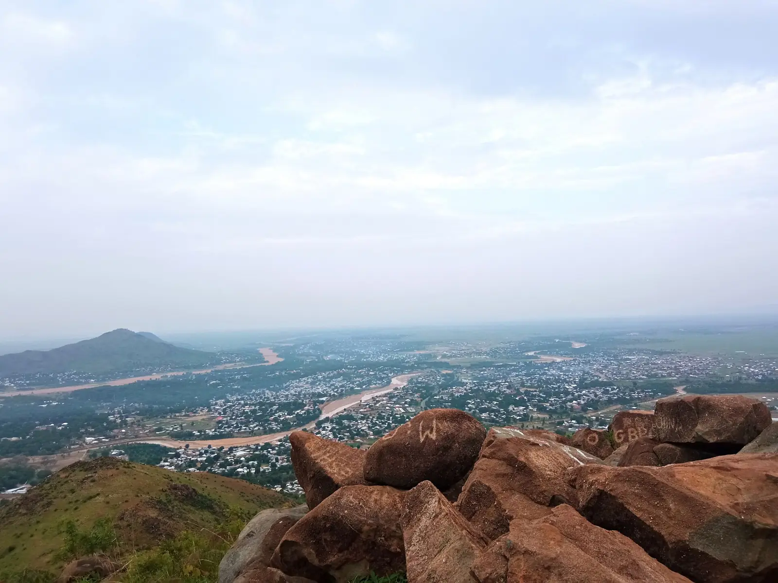
Diamaré, the Far North division around Maroua: the Diamaré plains, Guiziga, Mofu and Fulani country, and nine subdivisions.
Subdivisions of Diamaré Division
Diamaré Division has 9 subdivisions.
Maroua I
Chief town: Maroua
Maroua II
Chief town: Maroua
Maroua III
Chief town: Maroua
Bogo
Chief town: Bogo
Dargala
Chief town: Dargala
Gazawa
Chief town: Gazawa
Méri
Chief town: Méri
Ndoukoula
Chief town: Ndoukoula
Petté
Chief town: Petté
Places in Diamaré Division
Where it is and what it's like
Diamaré lies at the centre of the Far North, east of Mayo-Tsanaga and Mayo-Sava, west of Mayo-Kani and Mayo-Danay, and south of Logone-et-Chari. It is the country of the Diamaré plains, which the national statistics office (INS) describes as the main collecting basin for the seasonal rivers, or mayos, that come down from the Mandara Mountains. The land is flat and floods after heavy rain, and its Sudano-Sahelian climate suits cotton, cereals and, increasingly, market gardening.4,1
Maroua, the chief town, stands where the Mayo Kaliao joins the Mayo Tsanaga, at the foot of the Mandara Mountains. The INS gives the division an area of 4,666 km², and French Wikipedia 4,665 km².5,6,1,4
People
The 2005 census counted 642,227 people, 330,410 of them in Maroua, then a single subdivision. The INS projects 864,101 for 2017, or 185 people per km². It names the Guiziga, the Mofu and the Fulani (Peuls) as the main settled groups, and French Wikipedia adds the Kola, or Daba. The population of Maroua itself is mainly Fulbe.1,2,4,6
The division has nine subdivisions. Maroua I, II and III are the three borough councils of the Maroua urban community, created by decree 2007/117 of 24 April 2007; the other six are Bogo, Dargala, Gazawa, Méri, Ndoukoula and Petté.1,5,7
History
English Wikipedia says the site of Maroua was occupied by the Guiziga in the 17th century and by the Mofu in the 18th. Osidimbea's administrative history records a Maroua district from 1917, a Logone region covering Maroua and Yagoua from 1935, and a Diamaré region from 26 May 1950. Yagoua left in 1958 to become Mayo-Danaï, and Diamaré became a division by decree 59-138 of 8 August 1959.6,3
Its southern part later became the Kaélé division, now Mayo-Kani. Osidimbea dates the split to 1984 on its Diamaré page and to decree 81/521 of 11 December 1981 on its Mayo-Kani page. The Maroua Declaration on the maritime boundary between Nigeria and Cameroon was signed in the city on 1 June 1975.3,6
What it's known for
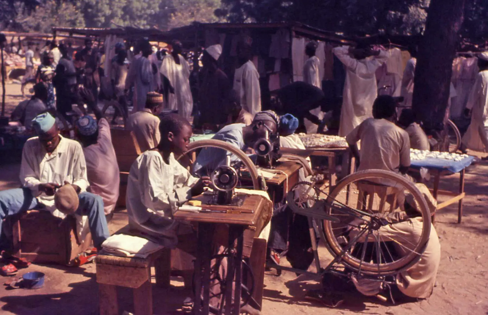
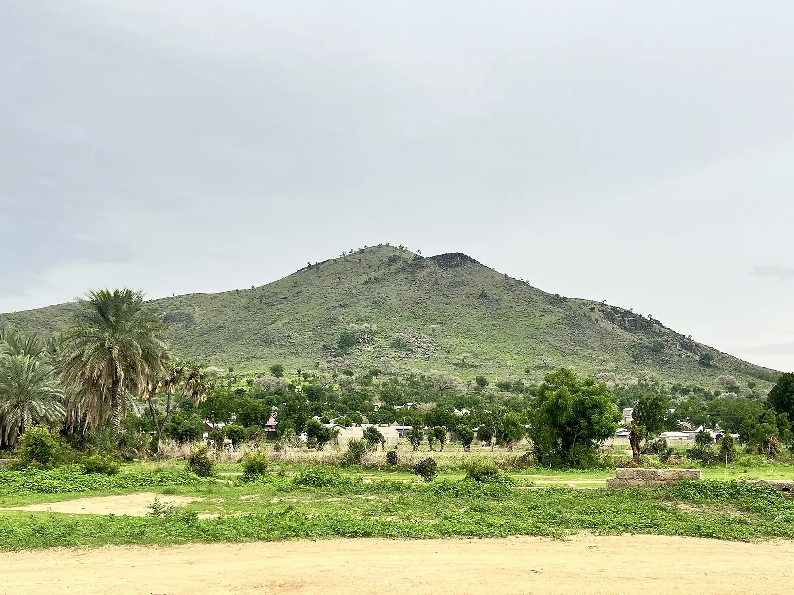
Maroua's central market, one of the site's places, is in Maroua II according to OpenStreetMap. Embroidery, leatherwork, jewellery and pottery are among the city's main trades, and it is home to the University of Maroua. The regional tourism delegation's list, published by the INS, adds the craft centre and local art museum, the palace of the lamido of Maroua, the Ngassa tannery, Mount Makabaï, where archaeological research has taken place, Bogo's Thursday cattle market, the cave of Méri and its former hilltop chiefdom, and the stone chapel of Douvangar near Méri.11,6,1
Main towns
In pictures
Map
Still to confirm
Our sources can't yet confirm these points:
- An official current population for Diamaré and for each subdivision (the latest INS figures are 2017 projections)
- The seats of Maroua I, II and III: French Wikipedia gives Domayo, Doualaré or Maodiwo, and Douggoi
- The date Kaélé (now Mayo-Kani) was split off: Osidimbea gives both 1981 and 1984
- Maroua's 2005 population: 201,371 for the city (Wikipedia) against 330,410 for the subdivision (INS)
Sources for this page
Information checked on 19 November 2026. It may have changed since.
- Annuaire statistique 2018 de la région de l'Extrême-Nord, édition 2019: Tableau 1-1 (areas, source DREPAT), Tableau 2-1 (administrative map, source MINATD), main ethnic groups, Tableau 3-1 (2017 projections), Tableau 3-4 (2005 census by subdivision), Tableau 21-1 (heritage sites, source DR-MINTOUL), Institut national de la statistique, Agence régionale de l'Extrême-Nord (undated)
- Diamaré: department, census counts 1987 and 2005 by subdivision, City Population (Thomas Brinkhoff), citing BUCREP and INS (19 November 2026)
- Département du Diamaré: administrative history, Osidimbea (19 November 2026)
- Diamaré, Wikipédia (19 November 2026)
- Maroua, Wikipédia (19 November 2026)
- Maroua, Wikipedia (19 November 2026)
- Maroua II, Wikipédia (19 November 2026)
- Bogo (Cameroun), Wikipédia (19 November 2026)
- Gazawa, Wikipédia (19 November 2026)
- Petté, Wikipédia (19 November 2026)
- Nominatim search and reverse lookups for the division's places and subdivisions, OpenStreetMap contributors (19 November 2026)