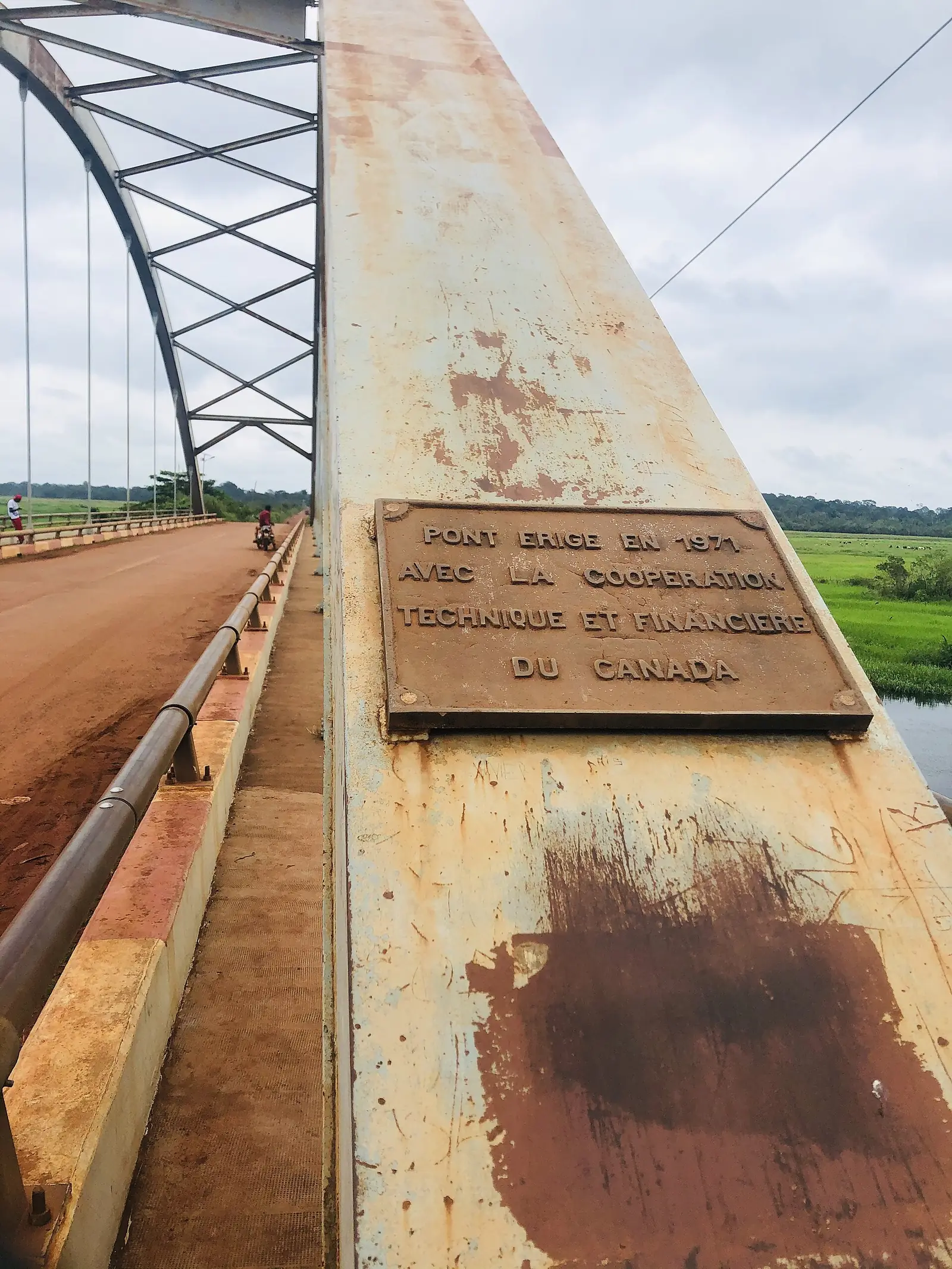
Nyong-et-Mfoumou, east of Yaoundé: Akonolinga on the Nyong, and Ayos, base of Eugène Jamot's campaign against sleeping sickness.
Subdivisions of Nyong-et-Mfoumou Division
Nyong-et-Mfoumou Division has 5 subdivisions.
Akonolinga
Chief town: Akonolinga
Ayos
Chief town: Ayos
Endom
Chief town: Endom
Mengang
Chief town: Mengang
Nyakokombo
Chief town: Kobdombo
Where it is and what it's like
Nyong-et-Mfoumou is the south-eastern division of the Centre region, east of Yaoundé, named after the Nyong and Mfoumou rivers. It covers 6,172 km² of dense, humid evergreen forest. The Nyong flows west through Akonolinga, and small boats can use it between Abong-Mbang and Mbalmayo from April to November, according to English Wikipedia.1,4,5
People
The 2005 census counted 104,507 people, and the statistics office projects 160,115 for 2023. It lists Beti groups, among them the Yebekolo, Yengono, Yembama and Yelinda, the Maka, and groups including the Sso.1
History
The division was created on 25 June 1964, when the Nyong-et-Sanaga division was broken up. Ayos was decreed the chief town of its district in 1924, and from 1922 it was the base of the French military doctor Eugène Jamot's campaign against sleeping sickness, after a German doctor had opened the first Western medical post there in 1913. From 1939 to 1943 the colonial doctor Jean-Joseph David ran the Haut-Nyong medical region from Ayos with full powers, a story told in Guillaume Lachenal's 2017 book Le médecin qui voulut être roi.2,6,7
What it's known for
Ayos's place in the history of medicine is its best-known story, and its district hospital was rehabilitated in 2006. At Mengang, about 30 km from Akonolinga, French Wikipedia points to the former residence of Chief Belinga Mbele and a colonial-style parish church nearby. The regional tourism office's 2017 inventory counted eight sites in the division, including three historic monuments, a waterfall and a riverbank. Mengang and Nyakokombo became arrondissements in 2010; Nyakokombo's council and chief town is Kobdombo. None of the site's places is in this division yet.6,7,8,9,2,10
Main towns and getting there
Akonolinga lies on the Nyong due east of Yaoundé; its council dates from 1952, and the 2005 census counted 47,561 people in the commune. Ayos is on the N10 Yaoundé–Bertoua road, 139 km east of Yaoundé and 42 km north-east of Akonolinga. The statistics office projects about 66,000 people for Akonolinga subdivision in 2023 and 34,000 for Ayos.5,11,6,1
Map
Still to confirm
Our sources can't yet confirm these points:
- Whether any of Ayos's historic medical buildings can be visited
- The road distance from Yaoundé to Akonolinga
- Official current population (the 2023 figures are INS projections from the 2005 census)
Sources for this page
Information checked on 19 November 2026. It may have changed since.
- Annuaire statistique de la région du Centre, édition 2025: chapter 1 (relief, rivers, vegetation, protected areas; Tableau 1-2, ethnolinguistic groups), Tableaux 2-2 and 2-3 (administrative map at 31 December 2024, source MINAT), Tableau 4-6 (area and population by division, 2005 census and 2023 projection), Institut national de la statistique, Agence régionale du Centre (undated)
- Département du Nyong et Mfoumou, Osidimbea, la mémoire du Cameroun (undated)
- OpenStreetMap Nominatim: boundary relations of the Centre's divisions and subdivisions (search), and reverse lookups of the site's place coordinates, OpenStreetMap contributors / Nominatim (19 November 2026)
- Nyong River, Wikipedia (19 November 2026)
- Akonolinga, Wikipedia (19 November 2026)
- Ayos, Wikipedia (19 November 2026)
- Ayos, Wikipédia (19 November 2026)
- Mengang, Wikipédia (19 November 2026)
- Annuaire statistique de la région du Centre, édition 2020: Tableau 21-1, tourist sites by division and type in 2017 (source MINTOUL, Centre regional delegation), Institut national de la statistique, Agence régionale du Centre (undated)
- Kobdombo, Wikipédia (19 November 2026)
- Akonolinga, Wikipédia (19 November 2026)