Faro, the North region division around Poli: the Vokré and Alantika uplands, Faro National Park and the Dowayo and Duupa country.
Subdivisions of Faro Division
Faro Division has 2 subdivisions.
Poli
Chief town: Poli
Béka
Chief town: Béka
Places in Faro Division
Where it is and what it's like
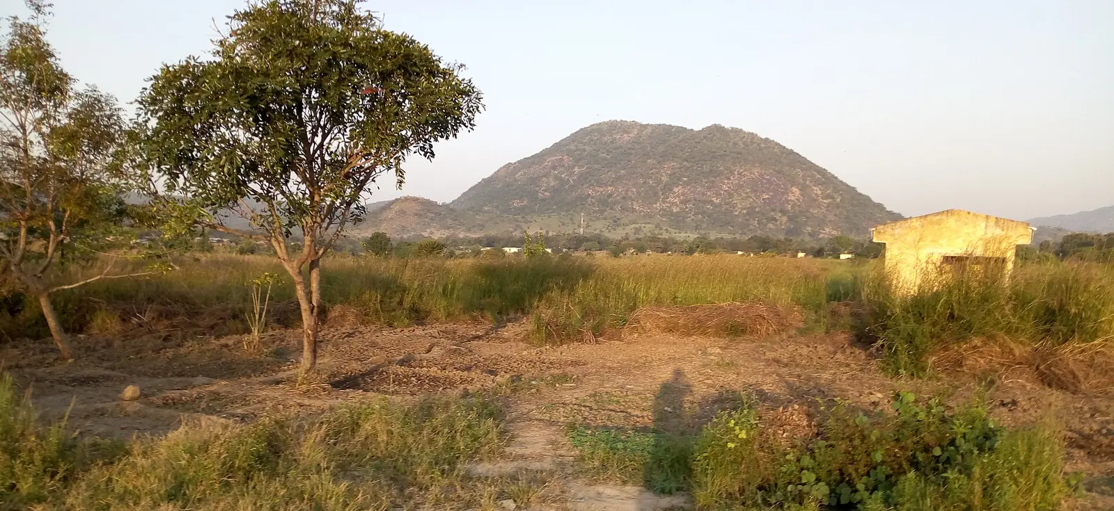
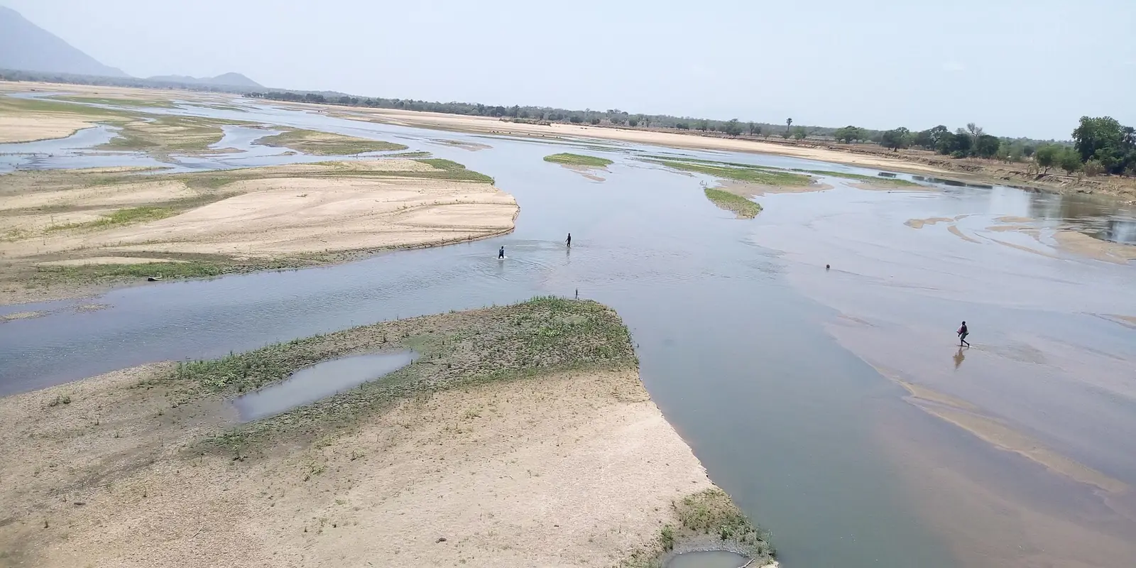
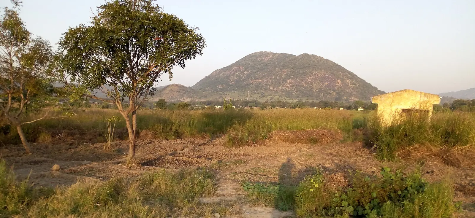
Faro shares its name with the Faro river, which the statistics office lists among the main tributaries of the Bénoué. The statistics office gives its area as 12,028 km², and English Wikipedia as 11,785 km². It is the region's high country: the office names the Hosséré Vokré, at 2,049 m, and the Atlantika, at 2,070 m, as its uplands. English Wikipedia describes Vokré as an isolated plateau of about 930 km², topped by granite boulders, that opens north towards Poli and divides the upper Bénoué from the Faro. The Alantika range runs along the Nigerian border; English Wikipedia gives its highest point as 1,885 m, not 2,070 m.1,4,5,6
Between the hills lies part of the plain of 200 to 300 m that the office says stretches from Faro to Mayo-Rey. Poli has a semi-arid Sudanian climate with a dry season of about five months, from November to March, and received about 1,200 mm of rain in 2015, according to French Wikipedia.1,3
People
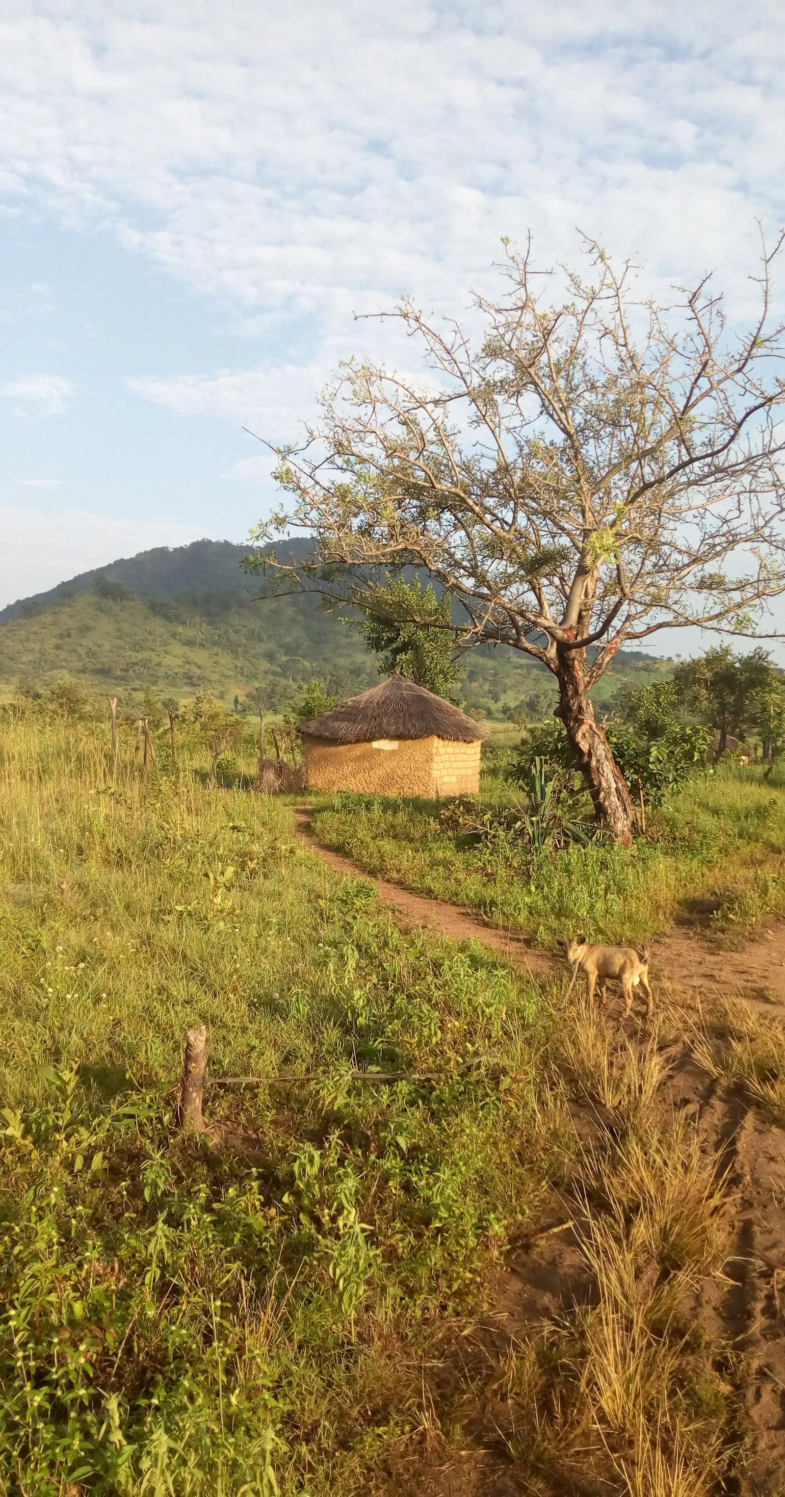
The statistics office estimates 119,635 people for 2018, the fewest of the four divisions, at about 10 per km². At the 2005 census Poli commune had 37,882 people, 8,462 of them in the town. French Wikipedia names the main groups around Poli as the Dowayo, Duupa, Papé, Fulbe, Voko, Mboum and Koutine, and says the Dowayo speak Dooyaayo. The Duupa live on Vokré and the plains beside it, growing sorghum, millet, yams and groundnuts, and the Koma took refuge in the Alantika in the second half of the 19th century, according to English Wikipedia.1,3,4,5
History
What it's known for
The site lists two places here, both in Poli subdivision on OpenStreetMap: the Poli Mountains, or Hosséré Vokré, and Faro National Park, which the statistics office gives as 330,000 ha. French Wikipedia says the country around Poli suits walking, and notes marble at Deta and Garé and gold near Mana and Voko, largely unworked because of poor roads.7,1,3
Main towns and getting there
Poli, the chief town, and Béka are the two subdivision seats. French Wikipedia puts Poli 36 km from National Road 1, on a road it describes as poor and impassable in the rainy season, and reports no petrol station in town. Our route calculation on OpenStreetMap data gives about 137 km by road from Garoua.1,3,8
In pictures
Map
Still to confirm
Our sources can't yet confirm these points:
- A census count of the division's population (the INS gives only a 2018 projection)
- The division's area (12,028 km² from the INS against 11,785 km² from English Wikipedia)
- The height of the Alantika range (2,070 m from the INS against 1,885 m from English Wikipedia)
- The date and decree creating Béka subdivision, and the current state of the Poli road
- The peoples of Béka subdivision
Sources for this page
Information checked on 19 November 2026. It may have changed since.
- Annuaire statistique de la région du Nord, édition 2019: chapitre 1 and Tableau 1-2 (areas, MINEPAT 2017 estimate), Tableau 2-1 (administrative map, source INS/MINAT), Tableau 4-1 (2018 population estimate, MINEPAT), Institut national de la statistique, Agence régionale du Nord (undated)
- Département du Faro, Osidimbea, la mémoire du Cameroun (undated)
- Poli (Cameroun), Wikipédia (19 November 2026)
- Hosséré Vokré, Wikipedia (19 November 2026)
- Alantika Mountains, Wikipedia (19 November 2026)
- Faro (department), Wikipedia (19 November 2026)
- Nominatim search and reverse lookups for the division's towns and the site's places, OpenStreetMap contributors / Nominatim (19 November 2026)
- Road route from Garoua to Poli, computed by us on 19 November 2026, Project OSRM, OpenStreetMap data (19 November 2026)