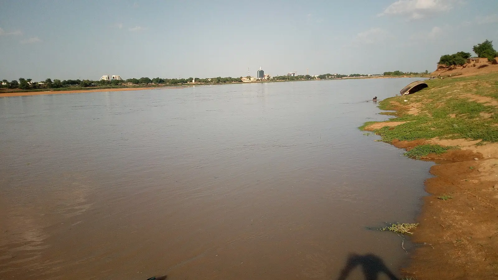
Logone-et-Chari, Cameroon's northernmost division: Kousséri, the Logone floodplain, Lake Chad, Kotoko sultanates and Waza National Park.
Subdivisions of Logone-et-Chari Division
Logone-et-Chari Division has 10 subdivisions.
Kousséri
Chief town: Kousséri
Blangoua
Chief town: Blangoua
Darak
Chief town: Darak
Fotokol
Chief town: Fotokol
Goulfey
Chief town: Goulfey
Hilé-Alifa
Chief town: Hilé-Alifa
Logone-Birni
Chief town: Logone-Birni
Makary
Chief town: Makary
Waza
Chief town: Waza
Zina
Chief town: Zina
Places in Logone-et-Chari Division
Where it is and what it's like
Logone-et-Chari is Cameroon's northernmost division and, at 12,130 km² by the INS figure (12,133 km² in Wikipedia), the largest in the Far North, about 35% of the region. It runs north to Lake Chad between Nigeria to the west and the Logone and Chari rivers, which separate it from Chad. Kousséri faces N'Djamena, Chad's capital, across the two rivers.1,3,5
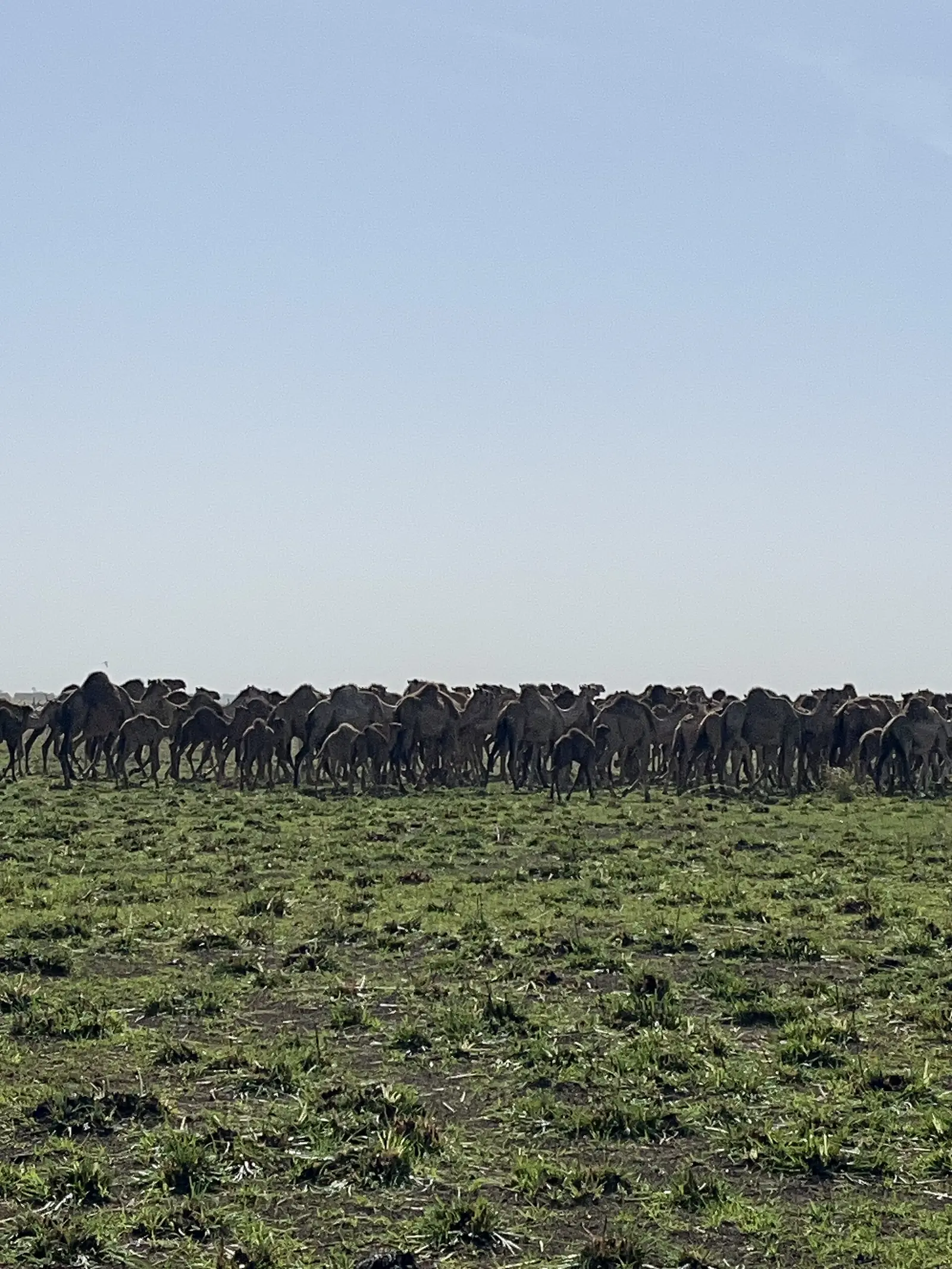
The INS describes two landscapes. The Yaérés, the Logone floodplain along the Chad border as far as Kousséri, flood from July to October or November, and have dried out since the Maga dam held back part of their water. North of Kousséri, the Lake Chad delta is flat clay country with an arid climate and a major transhumance area for cattle, sheep and goats.1
People
The 2005 census counted 486,997 people. The INS projects 655,243 for 2017, at 54 per km² the lowest density in the region, and names the Kotoko, the Shuwa Arabs and the Musgum as the main settled groups. English Wikipedia says most people speak Chadian Arabic, and lists languages including Afade, Lagwan, Jina, Majera, Malgbe, Maslam and Masana. According to the INS, traditional authority here rests largely with sultans.1,2,3
The ten subdivisions are Kousséri, Blangoua, Darak, Fotokol, Goulfey, Hilé-Alifa, Logone-Birni, Makary, Waza and Zina. The most populous in 2005 were Makary (104,843) and Kousséri (101,246).1,2,4
History
The plains south of Lake Chad were the home of the Sao civilisation, whose heirs, according to English Wikipedia, are the Kotoko. Kotoko city-states, among them Kousséri, Logone-Birni, Goulfey and Makary, grew up from around the 11th century. After Bornu's expansion under Mai Idris Alooma (about 1570 to 1603), a northern confederation led by Makari fell under Bornu, while a southern kingdom was ruled from Logone-Birni, its capital from around the 1570s until 1900.8,7,9
Kousséri, called Kusseri under German rule and Fort-Foureau under French rule, gave its name to the battle of 22 April 1900, fought on the Chari opposite the town, in which French columns defeated the forces of Rabih az-Zubayr and secured French control of Chad. The INS records that the Darak area on Lake Chad was handed back to Cameroon on 8 December 2003.6,5,10,1
What it's known for
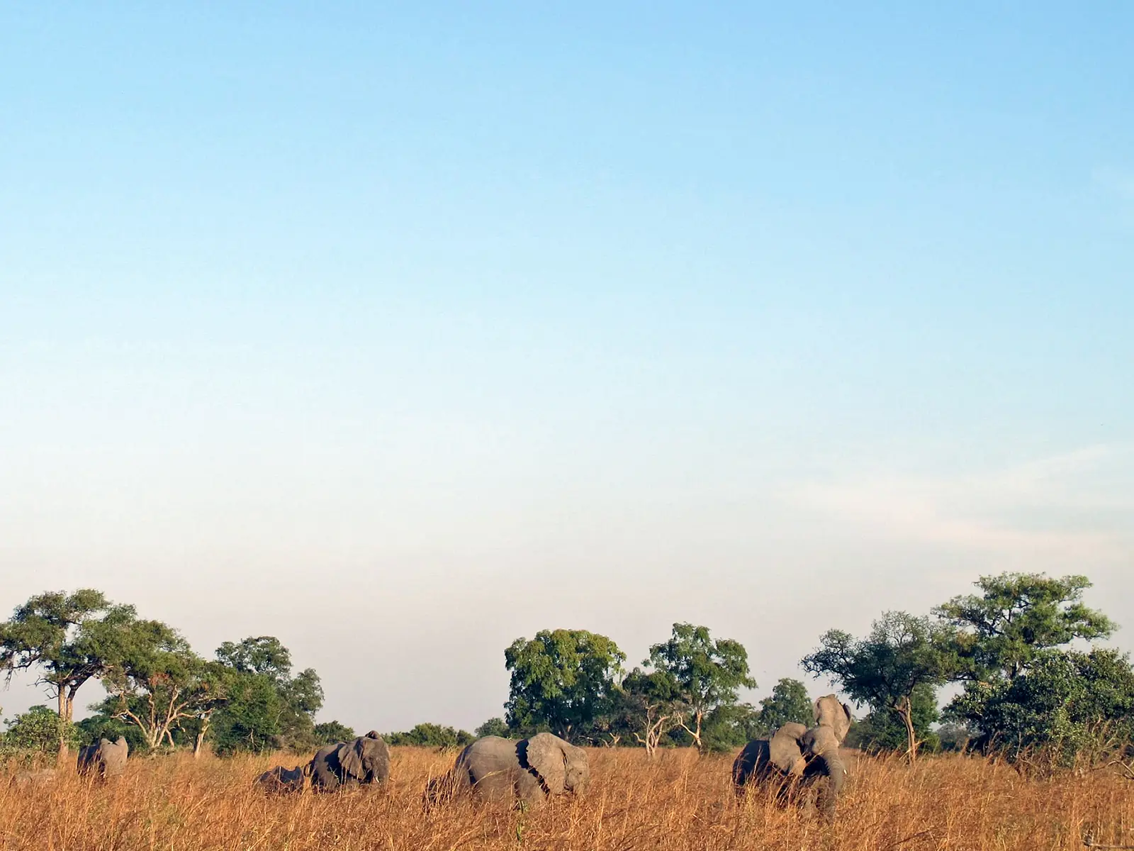
Waza National Park, one of the site's places, lies in the Waza subdivision according to OpenStreetMap. It was a hunting reserve from 1934, became a national park in 1968 and a UNESCO biosphere reserve in 1979, and covers 1,700 km² by Wikipedia's figure, or 1,407 km² as a Key Biodiversity Area. Its factsheet describes very flat clay plains between the Logone floodplain and the Maroua–Kousséri road, with seasonally flooded grassland in the north-east.16,11,12
The INS heritage list adds the earthen palaces of the Kotoko sultans of Kousséri, Logone-Birni, Goulfey, Makari, Afadé and Woulki, the Kotoko museums of Goulfey, Makari and Bodo, Kalamaloué National Park near Kousséri, and the islands of Lake Chad. English Wikipedia also mentions the 12 m defensive and religious tower of Goto-Goulfey.1,7
Main towns
In pictures
Map
Still to confirm
Our sources can't yet confirm these points:
- An official current population for Logone-et-Chari and its subdivisions (the latest INS figures are 2017 projections)
- The area of Waza National Park: 1,700 km² (Wikipedia) or 1,407 km² (KBA)
- Kousséri's 2005 town population: 89,123 (English Wikipedia) or 88,552 (French Wikipedia)
- The creating texts of the division and its ten subdivisions
Sources for this page
Information checked on 19 November 2026. It may have changed since.
- Annuaire statistique 2018 de la région de l'Extrême-Nord, édition 2019: Tableau 1-1 (areas, source DREPAT), Tableau 2-1 (administrative map, source MINATD), main ethnic groups, Tableau 3-1 (2017 projections), Tableau 3-4 (2005 census by subdivision), Tableau 21-1 (heritage sites, source DR-MINTOUL), Institut national de la statistique, Agence régionale de l'Extrême-Nord (undated)
- Logone-et-Chari: department, census counts 1987 and 2005 by subdivision, City Population (Thomas Brinkhoff), citing BUCREP and INS (19 November 2026)
- Logone-et-Chari, Wikipedia (19 November 2026)
- Logone-et-Chari, Wikipédia (19 November 2026)
- Kousséri, Wikipedia (19 November 2026)
- Kousséri, Wikipédia (19 November 2026)
- Kotoko kingdom, Wikipedia (19 November 2026)
- Sao civilisation, Wikipedia (19 November 2026)
- Logone-Birni, Wikipedia (19 November 2026)
- Battle of Kousséri, Wikipedia (19 November 2026)
- Waza National Park, Wikipedia (19 November 2026)
- Waza National Park factsheet, Key Biodiversity Areas (19 November 2026)
- Blangoua, Wikipédia (19 November 2026)
- Fotokol, Wikipédia (19 November 2026)
- Goulfey, Wikipédia (19 November 2026)
- Nominatim search and reverse lookups for the division's places and subdivisions, OpenStreetMap contributors (19 November 2026)