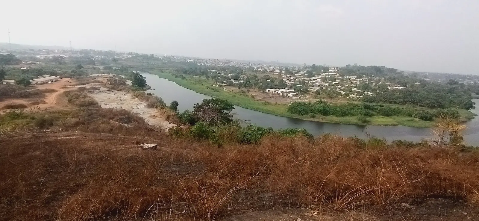
Nyong-et-So'o, south of Yaoundé: Mbalmayo on the Nyong, forest country and the Ebogo wetland, on the road towards Ebolowa and the South.
Subdivisions of Nyong-et-So'o Division
Nyong-et-So'o Division has 6 subdivisions.
Akoeman
Chief town: Akoeman
Dzeng
Chief town: Dzeng
Mbalmayo
Chief town: Mbalmayo
Mengueme
Chief town: Mengueme
Ngomedzap
Chief town: Ngomedzap
Nkolmetet
Chief town: Nkolmetet
Places in Nyong-et-So'o Division
Where it is and what it's like
People
The 2005 census counted 115,960 people, and the statistics office projects 216,607 for 2023. It lists the Etudi (Fang) and the Ewondo, Enoa, Bene, Tsinga and Mbida-Mbani (Beti); French Wikipedia calls Ngomedzap, 78 km from Mbalmayo, the cradle of the Etudi. French Wikipedia describes Mbalmayo as mainly Bene, with people from across Cameroon.1,6,4
History
Mbalmayo was founded in 1910, under German rule, and named after its ruler Mbala Meyo, according to English Wikipedia. The division was created on 25 June 1964, when the Nyong-et-Sanaga division was broken up. Mengueme, Nkolmetet and Akoeman became districts and councils in 1995 and arrondissements in 2010, bringing the total to six.7,2
What it's known for
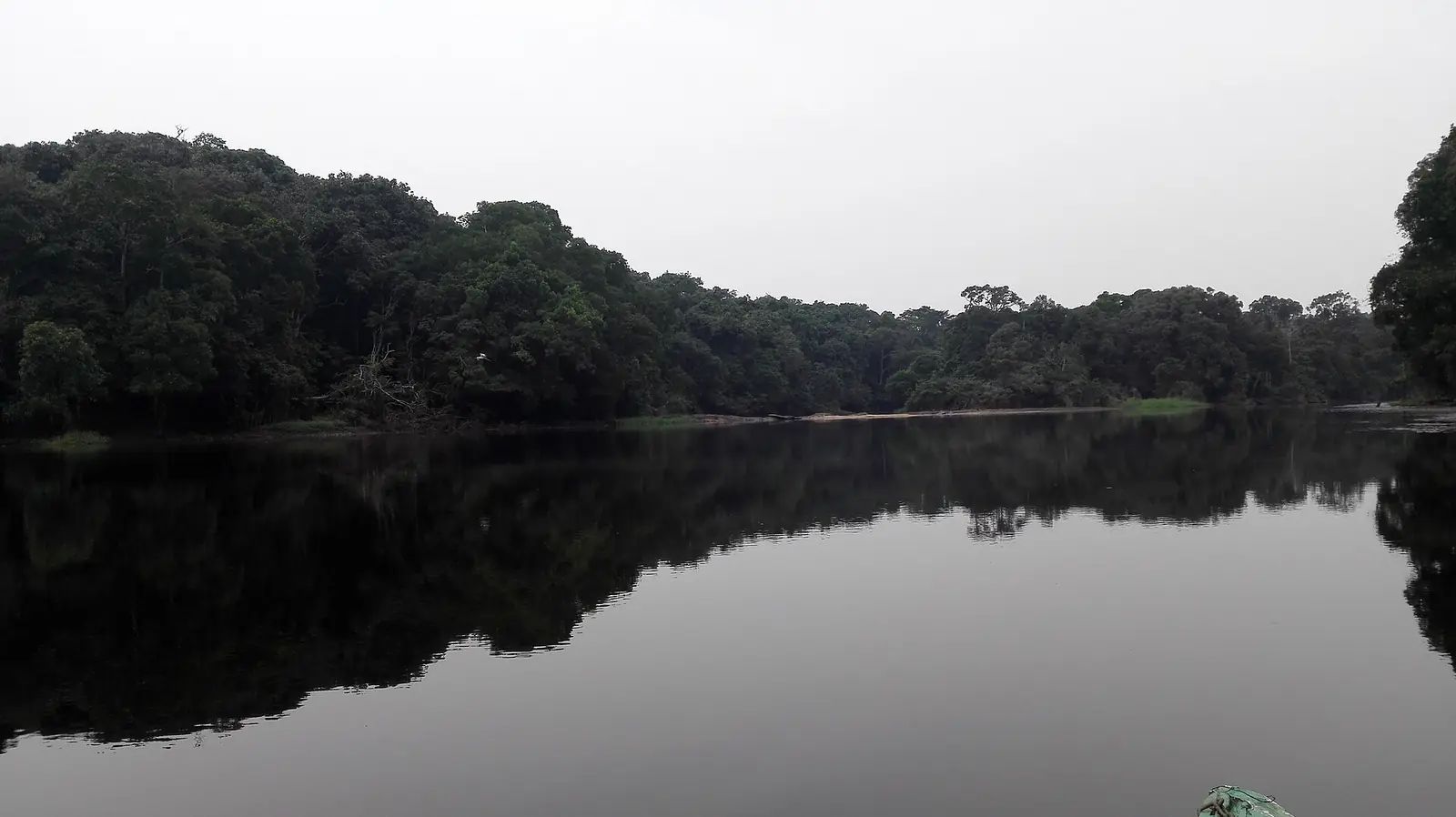
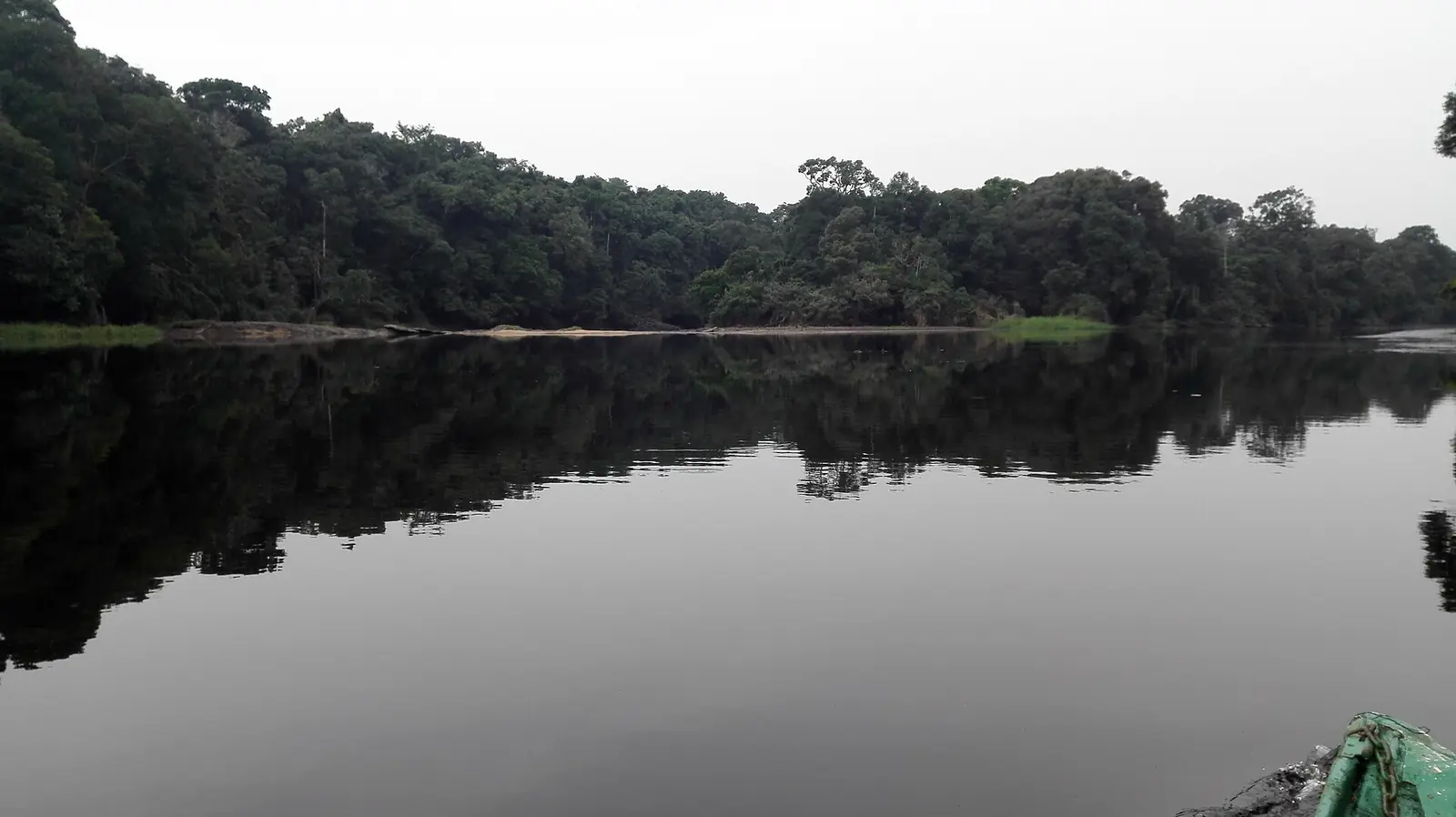
The site's Ebogo Ecotourism Site, on the Nyong in a Ramsar-listed wetland of 3,097 ha, lies in the Mbalmayo council area according to OpenStreetMap, though French Wikipedia illustrates its Mengueme article with photos of the site. Mbalmayo is also a forestry town: the national school of water and forests (ENEF), founded in 1949, and a wood technology institute of the University of Yaoundé I are here, alongside sawmills and a brewery at Oyack. The town is the seat of a Catholic diocese, with its Notre-Dame-du-Rosaire cathedral. The regional tourism office's 2017 inventory counted eleven sites in the division, five of them hills or rocks.3,8,9,4,10
Main towns and getting there
Mbalmayo lies on the N2 south of Yaoundé, about 41 km away by English Wikipedia's count. A railway reached it from Otélé and Ngoumou in 1927; French Wikipedia says the Ngoumou–Mbalmayo section was later abandoned, while English Wikipedia still calls Mbalmayo a railhead. A road of about 100 km to Ebolowa was completed in 1991.4,7
In pictures
Map
Still to confirm
Our sources can't yet confirm these points:
- Whether any railway still serves Mbalmayo (French and English Wikipedia disagree)
- Which subdivision the Ebogo site is in officially: OpenStreetMap places it in Mbalmayo, while French Wikipedia illustrates Mengueme with it
- Official current population (the 2023 figures are INS projections from the 2005 census)
Sources for this page
Information checked on 19 November 2026. It may have changed since.
- Annuaire statistique de la région du Centre, édition 2025: chapter 1 (relief, rivers, vegetation, protected areas; Tableau 1-2, ethnolinguistic groups), Tableaux 2-2 and 2-3 (administrative map at 31 December 2024, source MINAT), Tableau 4-6 (area and population by division, 2005 census and 2023 projection), Institut national de la statistique, Agence régionale du Centre (undated)
- Département du Nyong et So'o, Osidimbea, la mémoire du Cameroun (undated)
- OpenStreetMap Nominatim: boundary relations of the Centre's divisions and subdivisions (search), and reverse lookups of the site's place coordinates, OpenStreetMap contributors / Nominatim (19 November 2026)
- Mbalmayo, Wikipédia (19 November 2026)
- Nyong River, Wikipedia (19 November 2026)
- Ngomedzap, Wikipédia (19 November 2026)
- Mbalmayo, Wikipedia (19 November 2026)
- Ramsar Sites annotated summary: Cameroon, Ramsar Convention Secretariat (undated)
- Mengueme, Wikipédia (19 November 2026)
- Annuaire statistique de la région du Centre, édition 2020: Tableau 21-1, tourist sites by division and type in 2017 (source MINTOUL, Centre regional delegation), Institut national de la statistique, Agence régionale du Centre (undated)