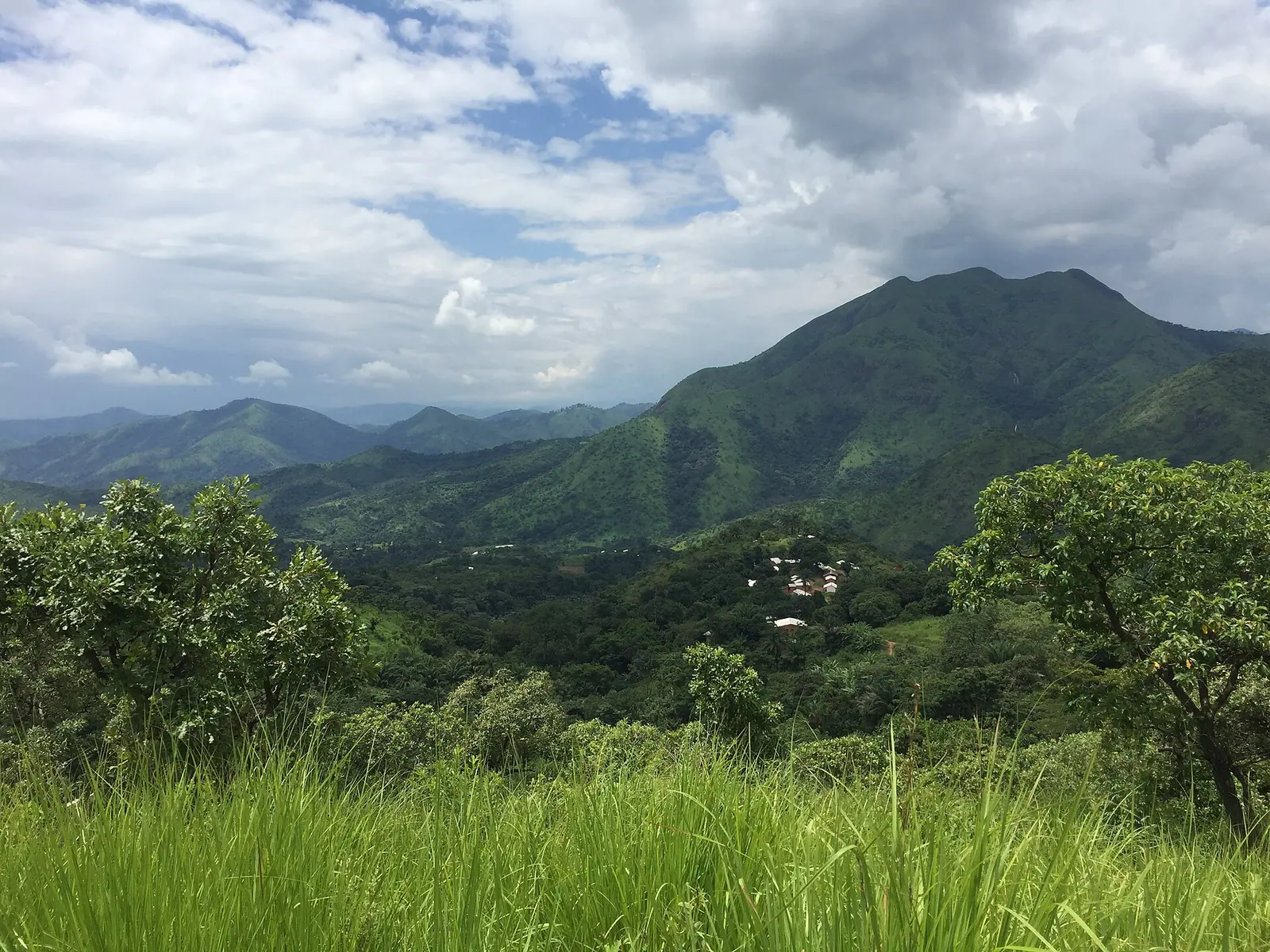
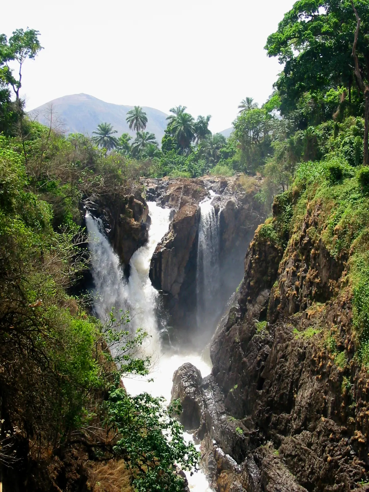
Menchum, the Northwest's largest division: Wum and its crater lakes, Lake Nyos, the Menchum Falls and the many languages of Fungom.
Subdivisions of Menchum Division
Menchum Division has 4 subdivisions.
Fungom
Chief town: Zhoa
Furu-Awa
Chief town: Furu-Awa
Menchum Valley
Chief town: Benakuma
Wum
Chief town: Wum
Places in Menchum Division
Where it is and what it's like
Menchum is the region's largest division, at 4,469 km², and the least densely settled, with about 36 people per km² in 2005. Wum lies on a plateau at about 1,100 m near the edge of the western highlands, in hilly volcanic country with five small crater lakes, Lake Wum among them, within 15 km of the town.1,3
Lower Fungom, a pocket of under 250 km² in Fungom subdivision, lies at about 600 to 900 m. Kaberry noted in 1952 that the Metchem (Menchum) flows west to the Benue, that some Fungom villages lie near the Katsina Ala, and that brown rice did well in the Metchem valley.5,6
Peoples and languages
The 2005 census counted 161,998 people, up from 105,664 in 1987; Menchum Valley's population doubled over the period, to 50,235. The Governor's office counts 21 second-class chiefdoms. In Wum the main language is Aghem, a Western Ring Grassfields language with about 27,000 speakers (2000 figure).1,4
In Lower Fungom, by the linguist Jeff Good's account, the language diversity of this part of Africa reaches what appears to be its greatest extent. Its thirteen villages speak at least seven languages, five with no close relatives outside the area, and each village tends to regard its speech as its own. Cameroonian Pidgin serves as the common language. Kaberry recorded Fungom villages as centres of blacksmithing and palm-oil making.5,6
History
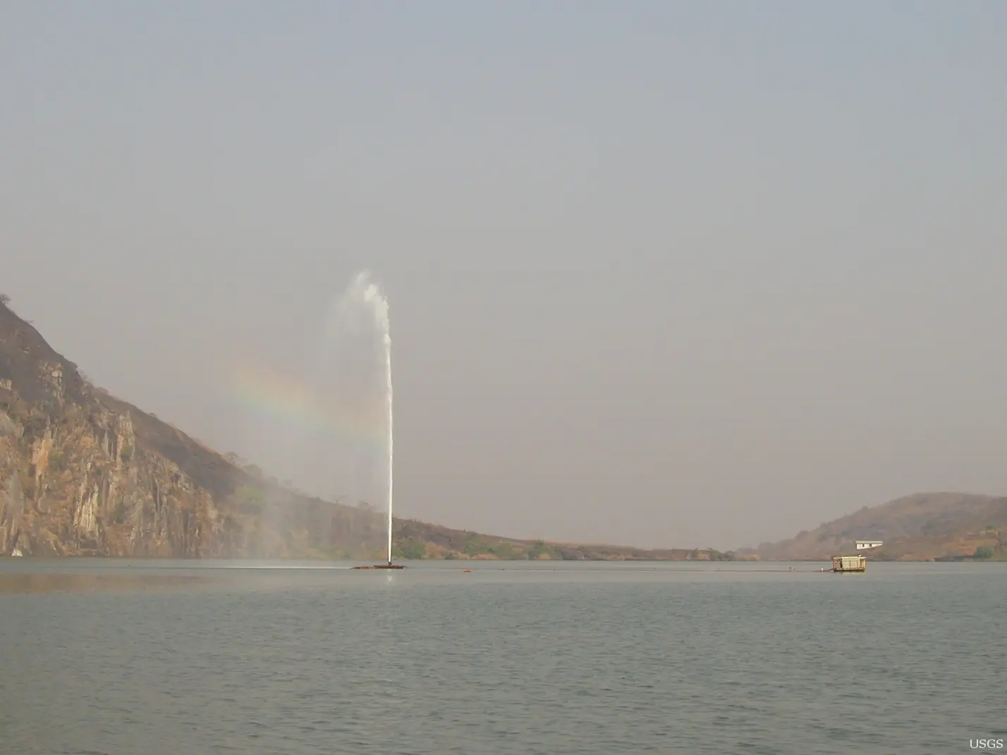
Oral histories of many Lower Fungom villages describe arrival by migration, which Good treats with caution. After the 1986 gas disaster at Lake Nyos, refugees were relocated to the area. Osidimbea lists four subdivisions, Fungom, Furu-Awa, Menchum-Valley and Wum, with the communes of Zhoa, Furu-Awa, Benakuma and Wum, but gives no creation dates.2,5
What it's known for
Main towns
Map
Still to confirm
Our sources can't yet confirm these points:
- Which subdivision the Menchum Falls officially belong to (OpenStreetMap says Menchum Valley; we found no official listing)
- A current population for Wum (Wikipedia gives two conflicting 2012 figures)
- Creation dates of the division and its subdivisions
Sources for this page
Information checked on 19 November 2026. It may have changed since.
- Statistical Yearbook for the North West Region, 2023 edition: Tables 2.1 and 2.3 (Governor's office), 2.9 (FEICOM), 4.3 and 4.4 (1987 and 2005 censuses), Institut national de la statistique (INS) (undated)
- Département de la Menchum, Osidimbea (19 November 2026)
- Wum, Wikipedia (19 November 2026)
- Aghem language, Wikipedia (19 November 2026)
- A (micro-)accretion zone in a remnant zone? Lower Fungom in areal-historical perspective (Jeff Good), University at Buffalo (undated)
- Women of the Grassfields (1952), chapter II: Ecology (P. M. Kaberry), Colonial Research Publication No. 14, online at era.anthropology.ac.uk (undated)
- OpenStreetMap Nominatim: boundary relations of the Northwest's divisions and subdivisions (search), and reverse lookups of the site's place coordinates, OpenStreetMap contributors / Nominatim (19 November 2026)