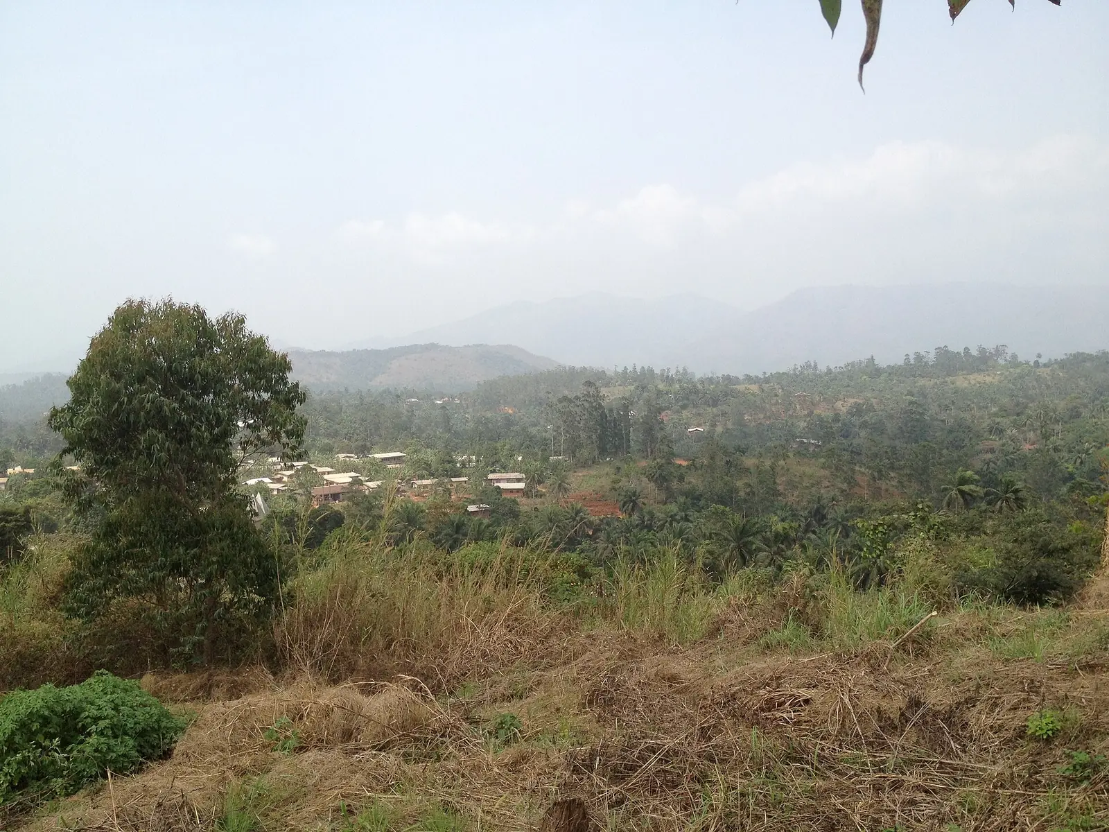
Momo, the Northwest division west of Bamenda: Mbengwi, Batibo and the forested Widikum country of the Meta', Moghamo and Ngie peoples.
Subdivisions of Momo Division
Momo Division has 5 subdivisions.
Batibo
Chief town: Batibo
Mbengwi
Chief town: Mbengwi
Ngie
Chief town: Andek
Njikwa
Chief town: Njikwa
Widikum-Menka
Chief town: Widikum
Where it is and what it's like
Momo covers 1,792 km² on the western side of the region. Mbengwi, its chief town, lies about 22 km from Bamenda. The division is named after the Momo river, which crosses the Mamfe–Bamenda road at mile 71. Unlike the plateau rivers that run to the Sanaga or the Benue, Kaberry noted, the Ma and the Momo drain to tributaries of the Cross River.1,4,6
The country changes from grassy upland at Ngwo, at about 5,000 ft (1,520 m) on the western boundary, to forested hill valleys in Ngie, where Kaberry found cocoyams and plantains the staple foods. Wikipedia mentions the Abi waterfalls in the heart of Mbengwi.4,6
Peoples and languages
Momo is the only division of the region whose population fell between the last two censuses, from 143,466 in 1987 to 138,693 in 2005; Ngie dropped from 28,406 to 17,697. The Governor's office counts fifteen second-class chiefdoms and no first-class ones.1
Wikipedia describes the division as the home of the Widikum people. The Meta' are indigenous around Mbengwi. Meta' has about 190,000 speakers (2010 figure), and Moghamo is sometimes counted as a variety of it and sometimes as a separate language; Ngie and Ngwo belong to the same Momo group.3,4,5
History
Momo was created in 1975, when the old Bamenda department was split. In Meta', Mbengwi means "a land of wild animals": the area was a hunting ground before it was settled. Kaberry described Meta as a centre of palm-oil production where women made pots in large numbers in the dry season; palm oil, mostly from Ngie, is still the division's main natural product according to Wikipedia.2,4,6
What it's known for
The site has no place page in Momo yet. Wikipedia counts about thirty Fons' palaces in the area, holding woodwork it dates to more than 300 years ago, and an annual dance competition, MECUDA, with more than fifty traditional dances.4
Main towns
Map
Still to confirm
Our sources can't yet confirm these points:
- The official name of Widikum subdivision (Widikum-Menka or Widikum-Boffe)
- Mbengwi's altitude and current population
- The decree creating Momo in 1975
Sources for this page
Information checked on 19 November 2026. It may have changed since.
- Statistical Yearbook for the North West Region, 2023 edition: Tables 2.1 and 2.3 (Governor's office), 2.9 (FEICOM), 4.3 and 4.4 (1987 and 2005 censuses), Institut national de la statistique (INS) (undated)
- Département de la Momo, Osidimbea (19 November 2026)
- Momo (department), Wikipedia (19 November 2026)
- Mbengwi, Wikipedia (19 November 2026)
- Metaʼ language, Wikipedia (19 November 2026)
- Women of the Grassfields (1952), chapter II: Ecology (P. M. Kaberry), Colonial Research Publication No. 14, online at era.anthropology.ac.uk (undated)
- OpenStreetMap Nominatim: boundary relations of the Northwest's divisions and subdivisions (search), and reverse lookups of the site's place coordinates, OpenStreetMap contributors / Nominatim (19 November 2026)
- Momo (département), Wikipédia (19 November 2026)