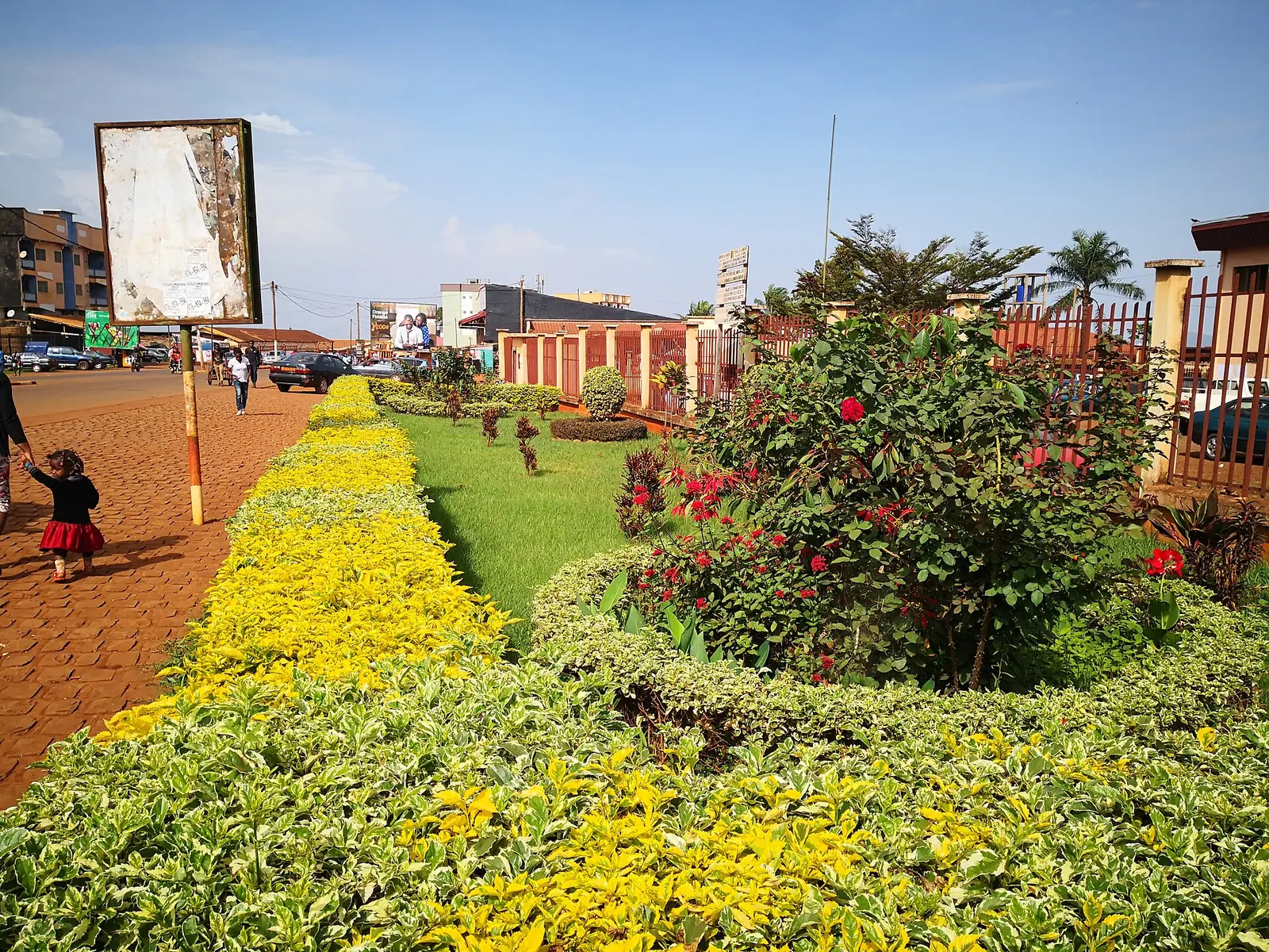
Bamboutos, the West division named after the Bamboutos volcanic massif, with its farming subdivisions of Mbouda, Batcham, Galim and Babadjou.
Subdivisions of Bamboutos Division
Bamboutos Division has 4 subdivisions.
Mbouda
Chief town: Mbouda
Batcham
Chief town: Batcham
Galim
Chief town: Galim
Babadjou
Chief town: Babadjou
Where it is and what it's like
Bamboutos covers 1,173 km² in the north-west of the region and takes its name from the Bamboutos mountains, a volcanic massif on the Cameroon Line that runs about 50 km from north-east to south-west around a caldera some 10 km across. Its height differs by source: the statistics office and French Wikipedia give 2,740 m, while French Wikipedia's own article on the massif also gives 2,679 m for the highest point on the caldera rim. Above about 2,000 m the climate is cool and cloudy, with around 2,510 mm of rain a year.1,4,5
To the north-east, the Bamendjing reservoir, created in 1974, reaches into Galim commune, which borders the North-West region. Mbouda commune lies between the Mifi-Nord and Mifi-Sud rivers.6,7
People
The 2005 census counted 292,410 people, against 215,523 in 1987; the statistics office's 2010 projection was 303,501. Mbouda subdivision had 120,650 people in 2005, Batcham 83,817, Galim 51,014 and Babadjou 36,929. Ngiemboon, a Bamiléké language, is spoken mainly in this division, and Ghomala' reaches a corner of its south. The statistics office lists three of the region's first-degree chiefdoms here: Batcham, Bangang and Babadjou.1,2,8,9
History
According to French Wikipedia, Mbouda was attached to the German district of Bamenda between 1911 and 1916, fell in the British zone in 1922 and was transferred to French-administered Cameroon on 26 June 1945. The law of 30 November 1960 that split the former Bamiléké region into five departments created the Mbouda department, renamed Bamboutos by a decree of 3 February 1961. The same article notes that in October 1959 the Mbouda area largely sided with the armed nationalist movement.7,4
What it's known for
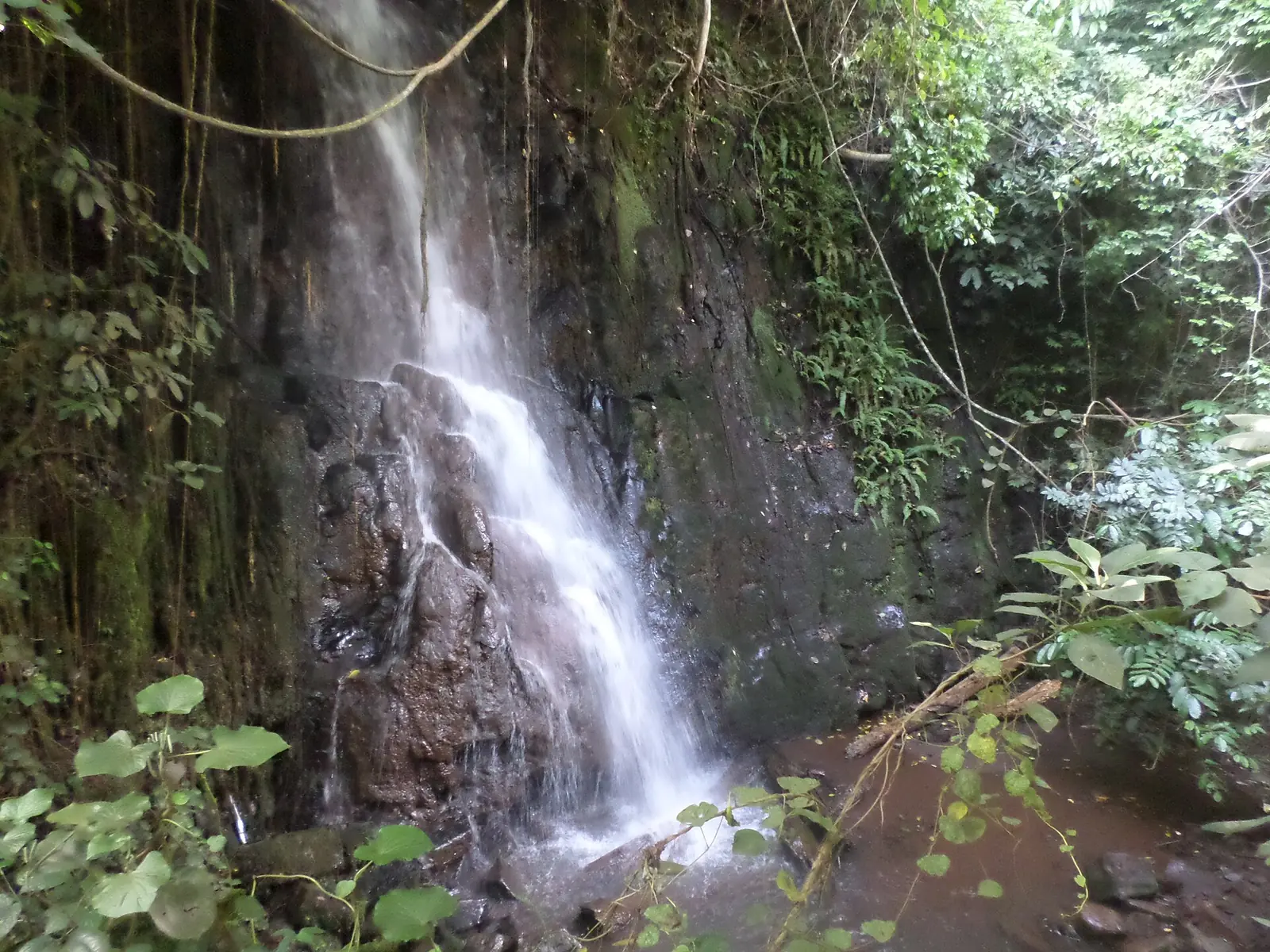
None of the site's places is in Bamboutos yet. French Wikipedia calls Galim the division's farming granary, though short of bridges and roads, and notes that population pressure pushes farming onto steep slopes of the massif, causing erosion, with cattle grazing higher up. It places the Métché falls, a sacred site north-west of Bafoussam, in Mbouda subdivision on its boundary with Penka-Michel.4,5,10
Main towns and getting there
Mbouda, the chief town, lies at the foot of the Bamboutos mountains on National Road 6, 28 km north-west of Bafoussam according to French Wikipedia; the statistics office gives 30 km. By road from Bafoussam, Batcham is 38 km, Babadjou 40 km and Galim 47 km. Galim is on provincial road P15, 18 km north-east of Mbouda.7,1,6
In pictures
Map
Still to confirm
Our sources can't yet confirm these points:
- The height of the Bamboutos mountains (2,740 m or 2,679 m)
- Which division the Métché falls belong to (French Wikipedia: Mbouda subdivision; a photo description on Wikimedia Commons: Bamougoum, Mifi)
- A current official population for Bamboutos
Sources for this page
Information checked on 19 November 2026. It may have changed since.
- Annuaire statistique de la région de l'Ouest, édition 2024: chapter 1 (relief, soils, rivers), Tableaux 1.1, 1.4, 2.1, 2.2 and 4.2 (sources: Governor's office, DR-MINTP, DR-ELECAM, BUCREP), Institut national de la statistique, Agence régionale de l'Ouest (undated)
- Cameroon: administrative division, census counts of 1987 and 2005 by division and arrondissement, City Population (Thomas Brinkhoff), citing BUCREP (19 November 2026)
- OpenStreetMap Nominatim: boundary relations of Bamboutos and its subdivisions (lookup), OpenStreetMap contributors / Nominatim (19 November 2026)
- Bamboutos, Wikipédia (19 November 2026)
- Monts Bamboutos, Wikipédia (19 November 2026)
- Galim, Wikipédia (19 November 2026)
- Mbouda, Wikipédia (19 November 2026)
- Ngiemboon language, Wikipedia (19 November 2026)
- Ghomala language, Wikipedia (19 November 2026)
- Chutes de la Métché, Wikipédia (19 November 2026)