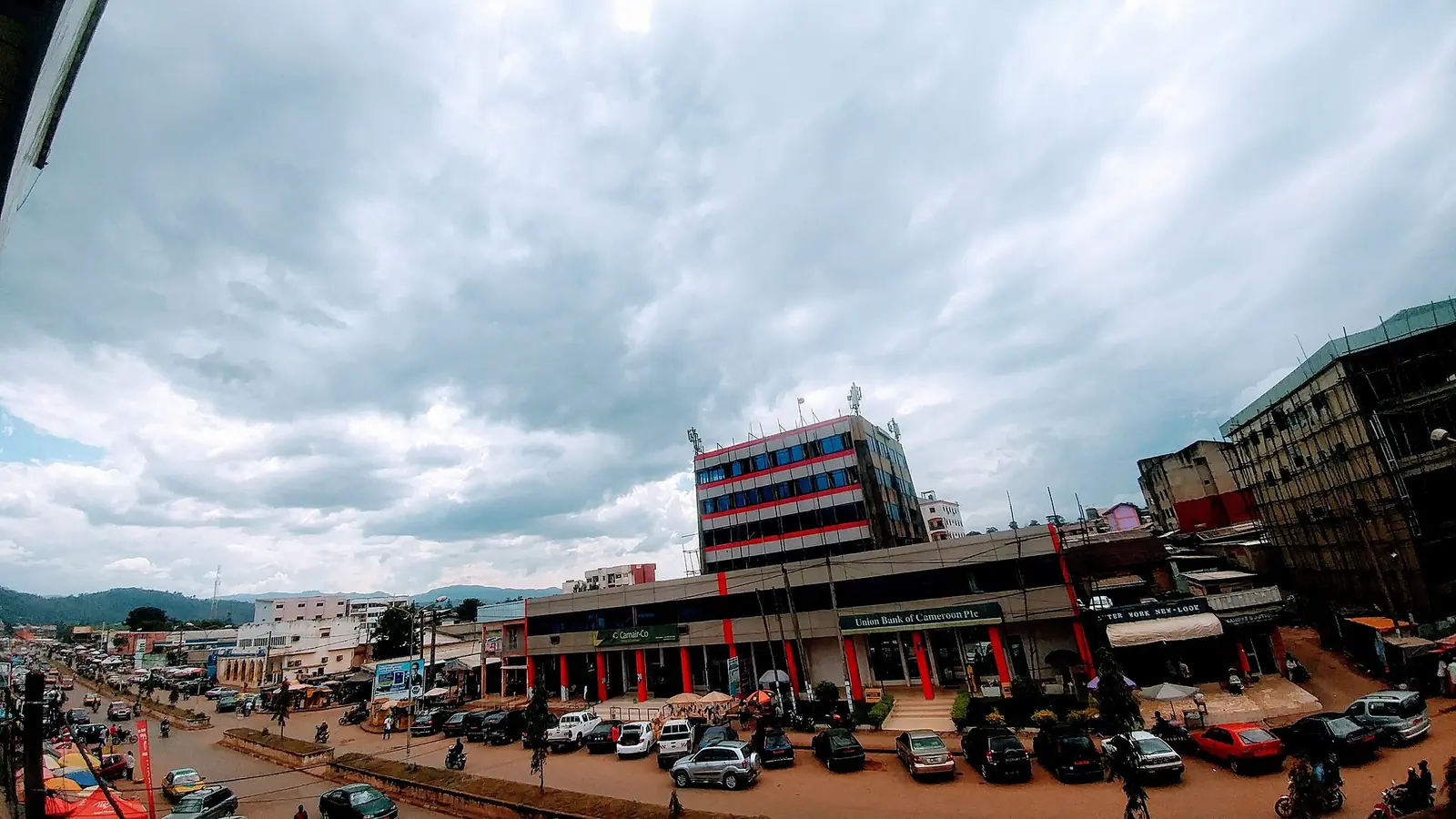
Mezam, the Northwest division around Bamenda: the regional capital, the fondoms of Bafut, Mankon and Bali Nyonga, and Tubah and Santa.
Subdivisions of Mezam Division
Mezam Division has 7 subdivisions.
Bafut
Chief town: Bafut
Bali
Chief town: Bali
Bamenda I
Chief town: Bamendankwe
Bamenda II
Chief town: Mankon
Bamenda III
Chief town: Nkwen
Santa
Chief town: Santa
Tubah
Chief town: Tubah
Places in Mezam Division
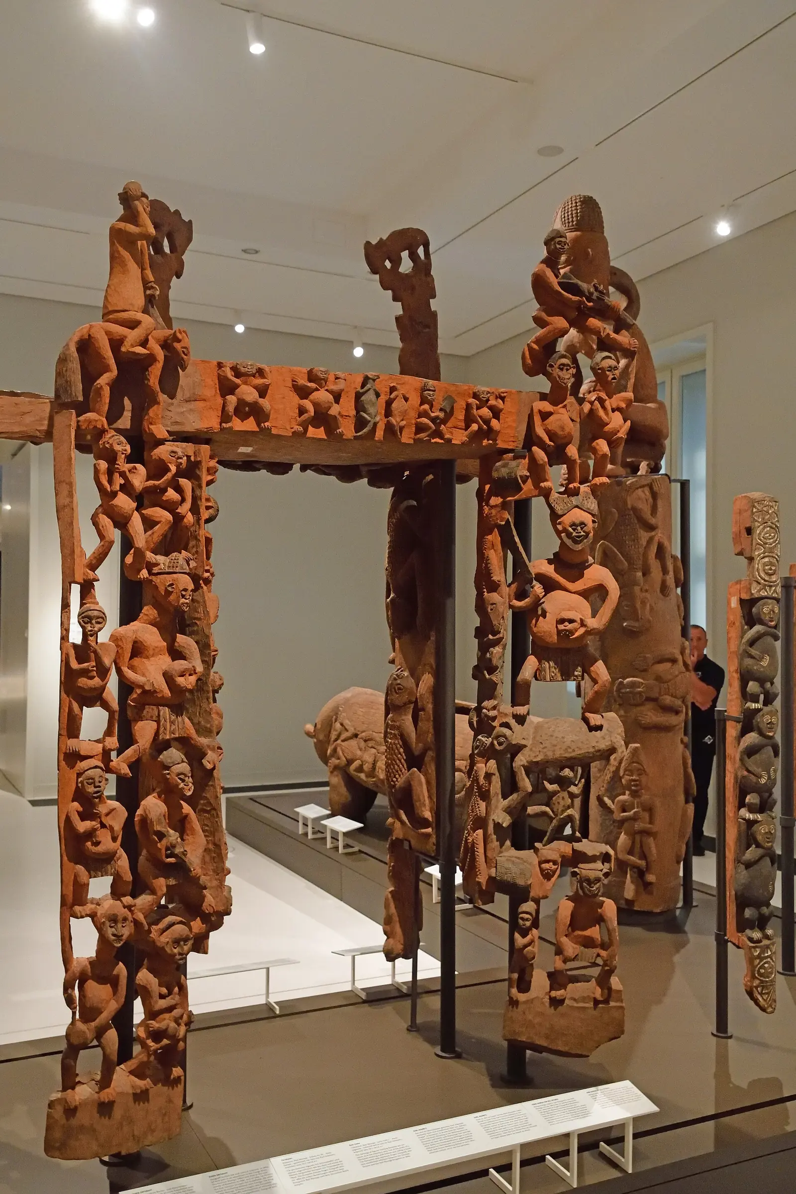
Where it is and what it's like
Mezam covers 1,745 km² at the heart of the Bamenda Grassfields. Bamenda, its chief town and the regional capital, stands at about 1,614 m, and the Mezam river runs through it. Kaberry described the plateau of the old province as averaging about 4,500 ft (1,370 m), with hills rising a further 1,000 to 2,500 ft, and noted kola growing well at Bali and Bafut as a centre of palm-oil making.1,4,6,7
Peoples and languages
The 2005 census counted 524,127 people, up from 313,043 in 1987, about 300 per km² and nearly a third of the region's population. Bamenda II alone had 184,277. The Governor's office counts three first-class and 22 second-class chiefdoms, more first-class chiefdoms than any other division.1
Bamenda's three subdivisions correspond to three villages, Bamendankwe, Mankon and Nkwen, which form Bamenda I, II and III; English Wikipedia groups them as the Abakwa Central district. Kaberry recorded Hausa traders living at Abakpwa, below the Bamenda government station.3,4,5,6
History
Germany ruled the area from 1884 to 1916; from 1919 Bamenda came under British administration alone, and the region joined Cameroon in 1961. Mezam was created in 1975, when the old Bamenda department was split into three. The Bamenda urban community was set up by decree No. 2008/021 of 17 January 2008. Osidimbea dates the Bafut subdivision to 1992 and its commune to 1993.2,3,4
What it's known for
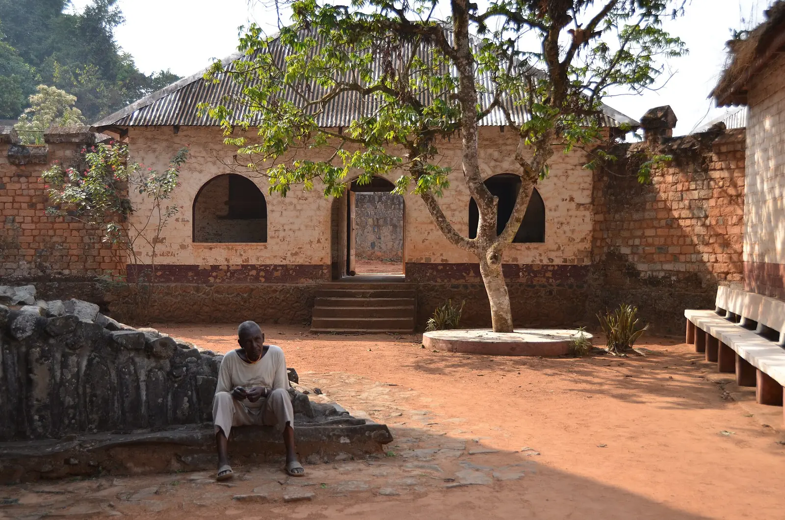
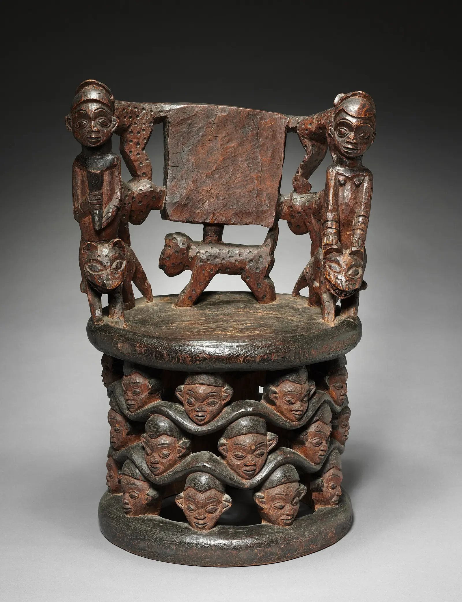
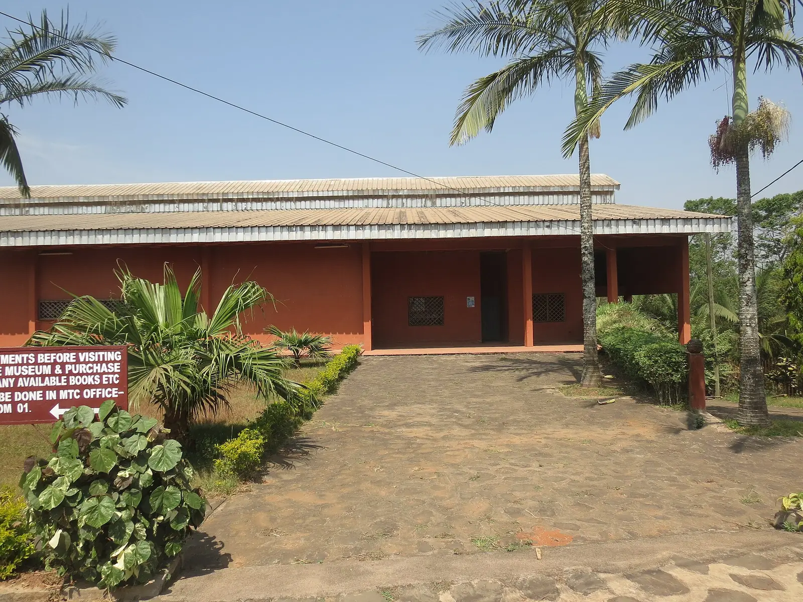
Mezam holds most of the site's places in the region. By OpenStreetMap's boundaries, Bafut Palace is in Bafut, the Mankon Museum in Bamenda II, the Bali Nyonga fondom in Bali, and both Big Babanki and Sabga Hill in Tubah.7
Main towns
Map
Still to confirm
Our sources can't yet confirm these points:
- A current official population for Bamenda (sources range from about 349,000 to 636,000)
- The seat of Tubah subdivision (Wikipedia names Tubah; we found no official confirmation)
- The decree creating Mezam in 1975
Sources for this page
Information checked on 19 November 2026. It may have changed since.
- Statistical Yearbook for the North West Region, 2023 edition: Tables 2.1 and 2.3 (Governor's office), 2.9 (FEICOM), 4.3 and 4.4 (1987 and 2005 censuses), Institut national de la statistique (INS) (undated)
- Département de la Mezam, Osidimbea (19 November 2026)
- Mezam, Wikipédia (19 November 2026)
- Bamenda, Wikipedia (19 November 2026)
- Mezam, Wikipedia (19 November 2026)
- Women of the Grassfields (1952), chapter II: Ecology (P. M. Kaberry), Colonial Research Publication No. 14, online at era.anthropology.ac.uk (undated)
- OpenStreetMap Nominatim: boundary relations of the Northwest's divisions and subdivisions (search), and reverse lookups of the site's place coordinates, OpenStreetMap contributors / Nominatim (19 November 2026)