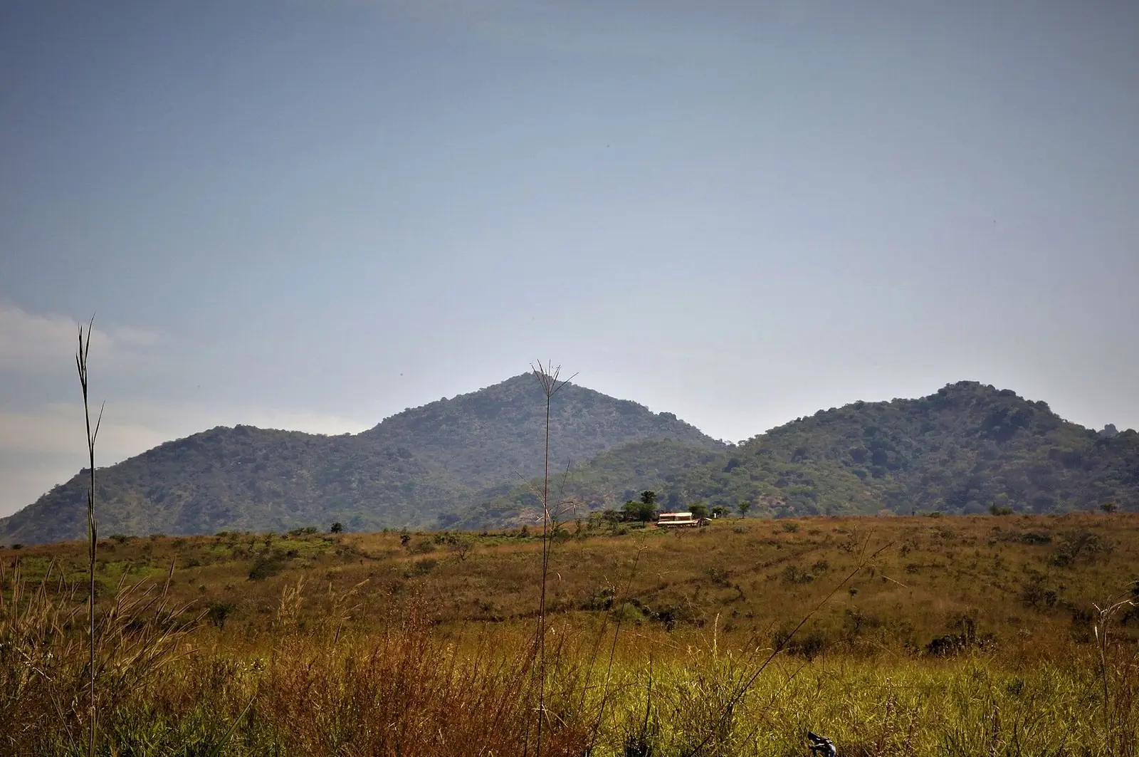
Mayo-Banyo, Adamawa's south-western division: the hill town and lamidate of Banyo, the Tikar kingdom of Bankim and the Mambila villages.
Subdivisions of Mayo-Banyo Division
Mayo-Banyo Division has 3 subdivisions.
Bankim
Chief town: Bankim
Banyo
Chief town: Banyo
Mayo-Darlé
Chief town: Mayo-Darlé
Where it is and what it's like
Mayo-Banyo is the smallest of the region's five divisions, at 8,520 km², in the south-west of the Adamawa. Osidimbea gives its neighbours as Faro-et-Déo to the north, Djérem to the east, the Centre region to the south, the Northwest and West regions to the south-west, and Nigeria to the west. Its name comes from the Fulfulde maayo, a river.1,2,3
Rain is plentiful: the statistics office describes a climate of one long dry season and one long rainy season, with 1,500 to 2,000 mm of rain a year. Banyo stands at about 1,259 m. To the west, below the escarpment of the Mambila plateau, the Ndòm plain lies at about 700 m, with oil palms and gallery forest.1,5,8
People and how it's organised
The 2005 census counted 187,066 people, the region's second-largest total after Vina. Banyo, the largest of the three subdivisions, had 93,880, of whom 30,789 lived in the town. French Wikipedia lists the Fulani, Vute, Wawa, Kwanja, Mambila, Hausa and Tikar among Banyo's peoples.1,4
Bankim is the seat of one of the six Tikar kingdoms. The Mambila of Cameroon live in villages such as Sonkolong, Atta and Somié, on the edge of the Ndòm plain, which English Wikipedia says they settled progressively from about 1700.7,8
History
French Wikipedia says the Vute lived around Banyo before 1830, when the Fulani leader Haman Gabdo won the town's independence from the lamidate of Kontcha. Banyo was the scene of fighting in November 1915, during the First World War. It was a colonial district from 1902, a subdivision from 1960 and has been a division since 1983. Bankim's origins are disputed: an unsourced claim gives a founding in 1395, while the historian Eldridge Mohammadou gives 1760 to 1780.2,4,5,6
What it's known for
Banyo is a lamidate town whose lamido, Mohaman Gabdo Yaya, in office since 1997, has written a history of the lamidate. Mayo-Darlé had a tin mine from about 1935 to about 1980. The statistics office's 2020 inventory lists three lakes and a waterfall in the division. None of the site's current Adamawa places are in Mayo-Banyo.1,4,5,9
Main towns and getting there
Banyo, Bankim and Mayo-Darlé are the main towns. Bankim lies on the main road between Foumban, about 95 km away in the West region, and Banyo, about 125 km away.6
Map
Still to confirm
Our sources can't yet confirm these points:
- The 2005 census populations of the Bankim and Mayo-Darlé subdivisions
- The creating decrees of the division and of its three subdivisions (Osidimbea gives dates without references)
- The current state of the roads from Banyo to Tibati and to Foumban
Sources for this page
Information checked on 19 November 2026. It may have changed since.
- Annuaire statistique de la région de l'Adamaoua, édition 2024: chapitre 1 (relief, hydrographie, mines, faune), Tableau 2.2 and Graphique 2.1 (administrative map and areas, source Services du Gouverneur), Tableau 3.1 (2005 census by division), Tableau 10.10 (tourist sites by division, 2020), Institut national de la statistique, Agence régionale de l'Adamaoua (undated)
- Département du Mayo-Banyo, Osidimbea, la mémoire du Cameroun (undated)
- Mayo-Banyo, Wikipédia (19 November 2026)
- Banyo, Wikipédia (19 November 2026)
- Banyo, Cameroon, Wikipedia (19 November 2026)
- Bankim, Wikipedia (19 November 2026)
- Tikar people, Wikipedia (19 November 2026)
- Mambila people, Wikipedia (19 November 2026)
- Mayo-Darlé, Wikipedia (19 November 2026)