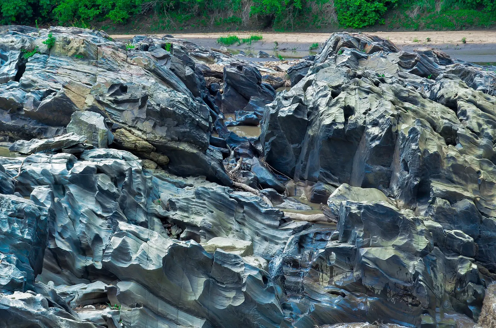
A savanna region built around the Bénoué River, with Garoua as its capital, Fulbe lamidates such as Rey Bouba, and the Bénoué, Faro and Bouba Ndjida national parks.
Places to visit
- Population
- 1,687,959 (2005 census, as published in the 2011 statistics yearbook)2
- Main languages
- Fulfulde, Daba, Dii, South Fali, Gidar, Ngambay; French1
Savanna around the Bénoué
The North Region lies between the Far North and Adamawa, with Nigeria to the west, Chad to the east and the Central African Republic to the southeast. Its area is given as 66,090 km² by Wikipedia and 65,576 km² by Statoids, quoting the national statistics yearbook. The 2005 census count is 1,687,959 in the yearbook and 1,703,000 in Wikipedia's table. Garoua, the capital, had 235,996 people in that census.1,2,3
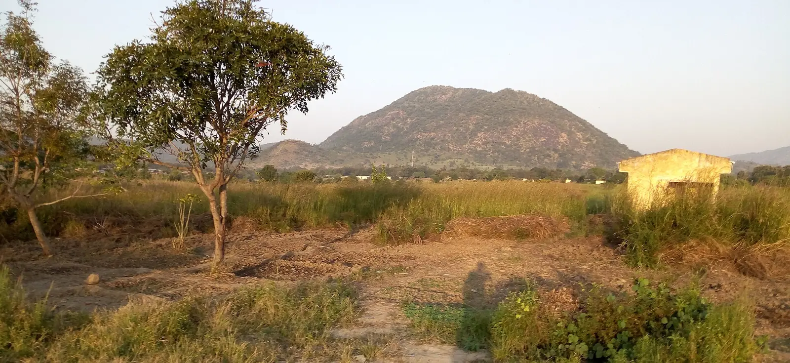
Its main feature is the Bénoué Depression, the basin of the Bénoué and Mayo Kébi rivers. To the south, the land climbs to the Adamawa Plateau in escarpments and peaks of 1,000 to 2,000 m, and to the west it meets the Mandara and Atlantika mountains. The highest point is Hosséré Vokré, an isolated peak of 2,049 m.1
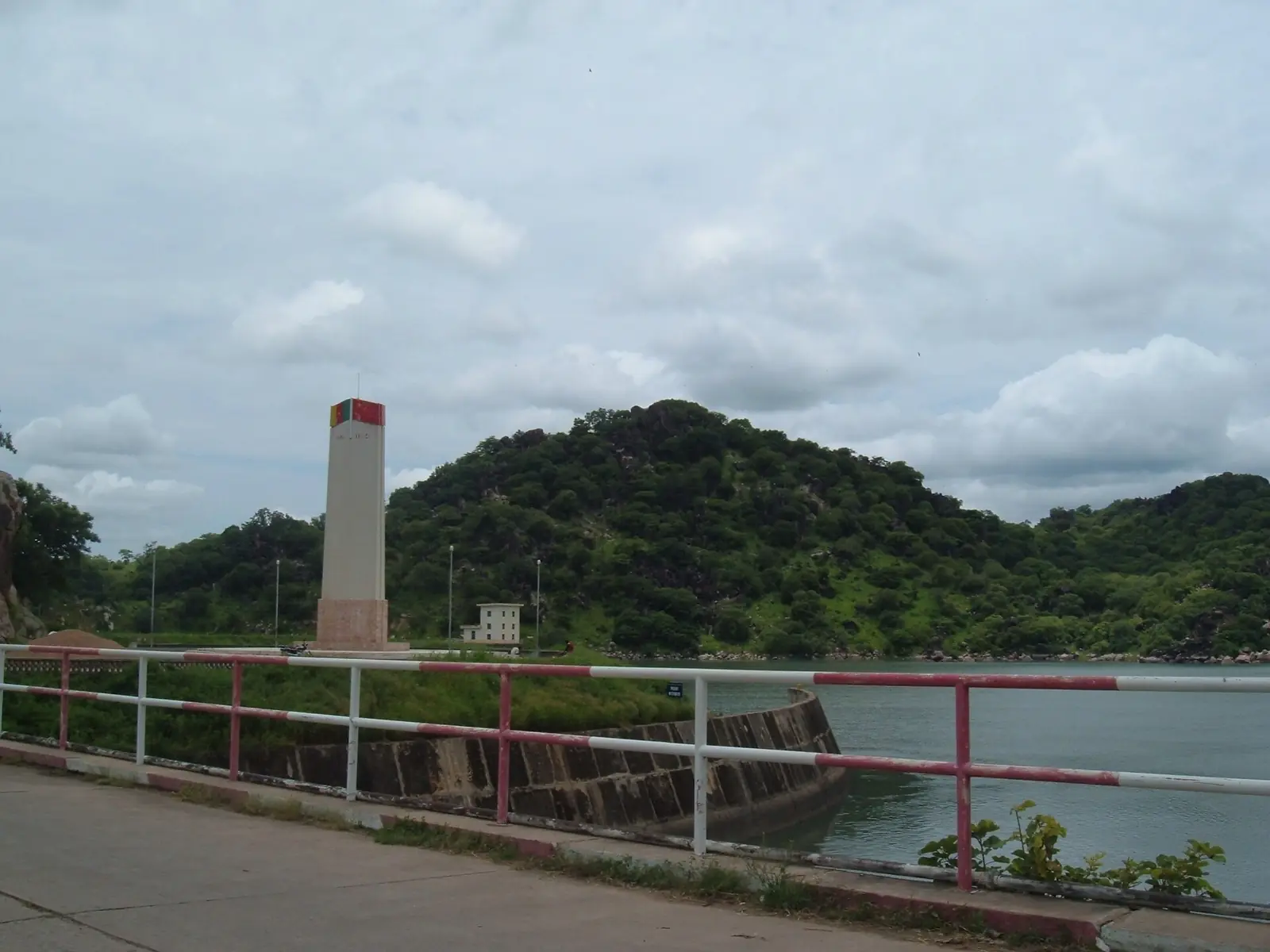
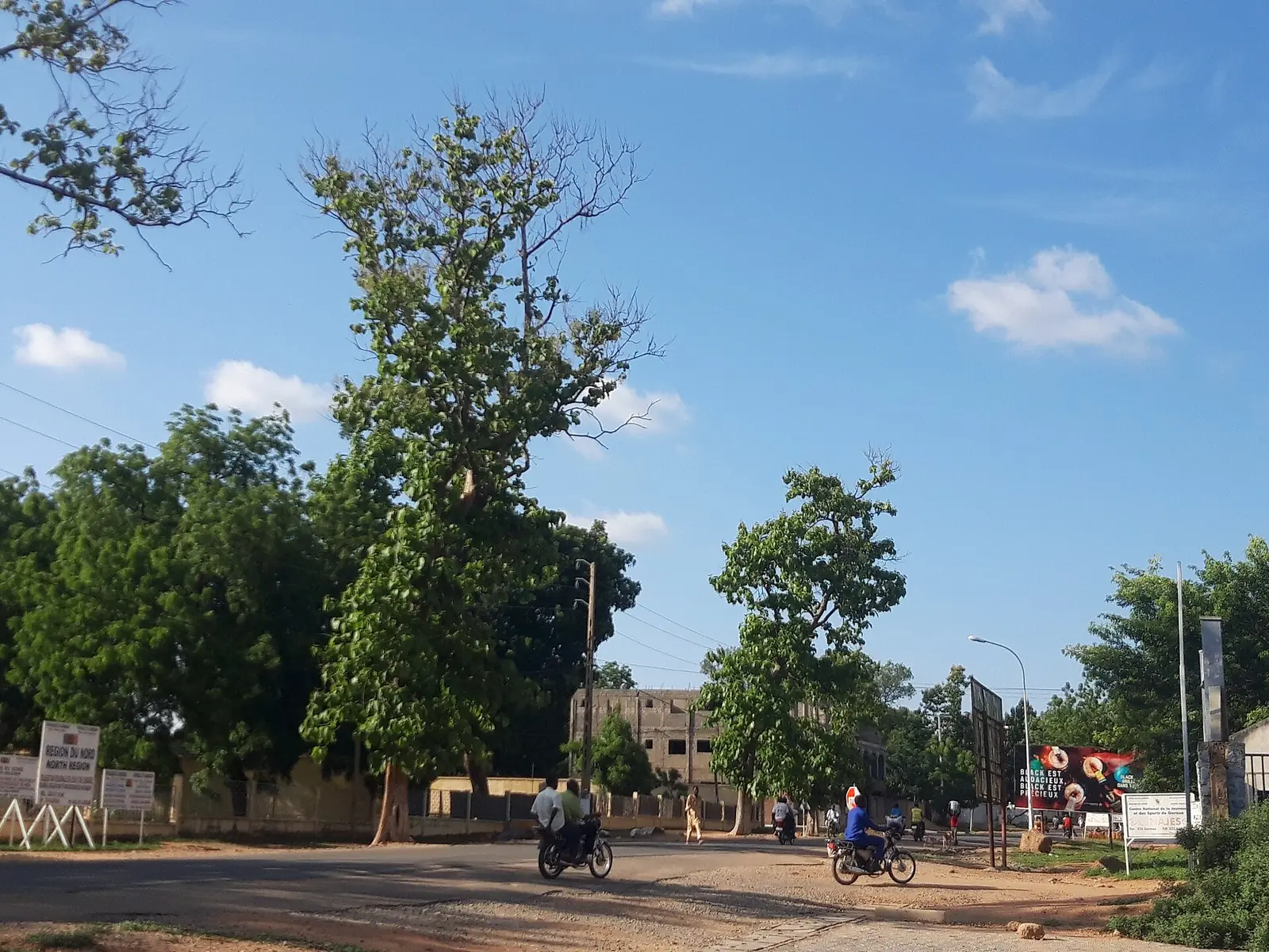
It's a land of savanna, wooded near the plateau and more open in the depression. The Lagdo Reservoir, about 586 km² and built between 1977 and 1982 about 50 km south of Garoua, supplies power and irrigation water.1,12
Climate and seasons
The year divides into a dry season from about November and a wet season from about April. Garoua's climate figures show no rain at all from December to February, about 997 mm over the year, and a peak of about 248 mm in August. Its average temperature runs from 26 °C in December and January to 33 °C in April. North of the Bénoué Depression, the dry season is longer and the climate is of the Sahel type.1,4
Peoples, languages and lamidos
The Fulbe (Fulani) are the most numerous group, most of them settled in towns, with others moving with their herds. Many other peoples speak Adamawa, Chadic or Central Sudanic languages, including the Mbum, Dii, Chamba, Doayo, Fali, Bata, Daba, Guidar and Ngambay. Fulfulde is widely used as a common language, and French is the language of formal education. Islam is the main religion, alongside Christian and older beliefs.1
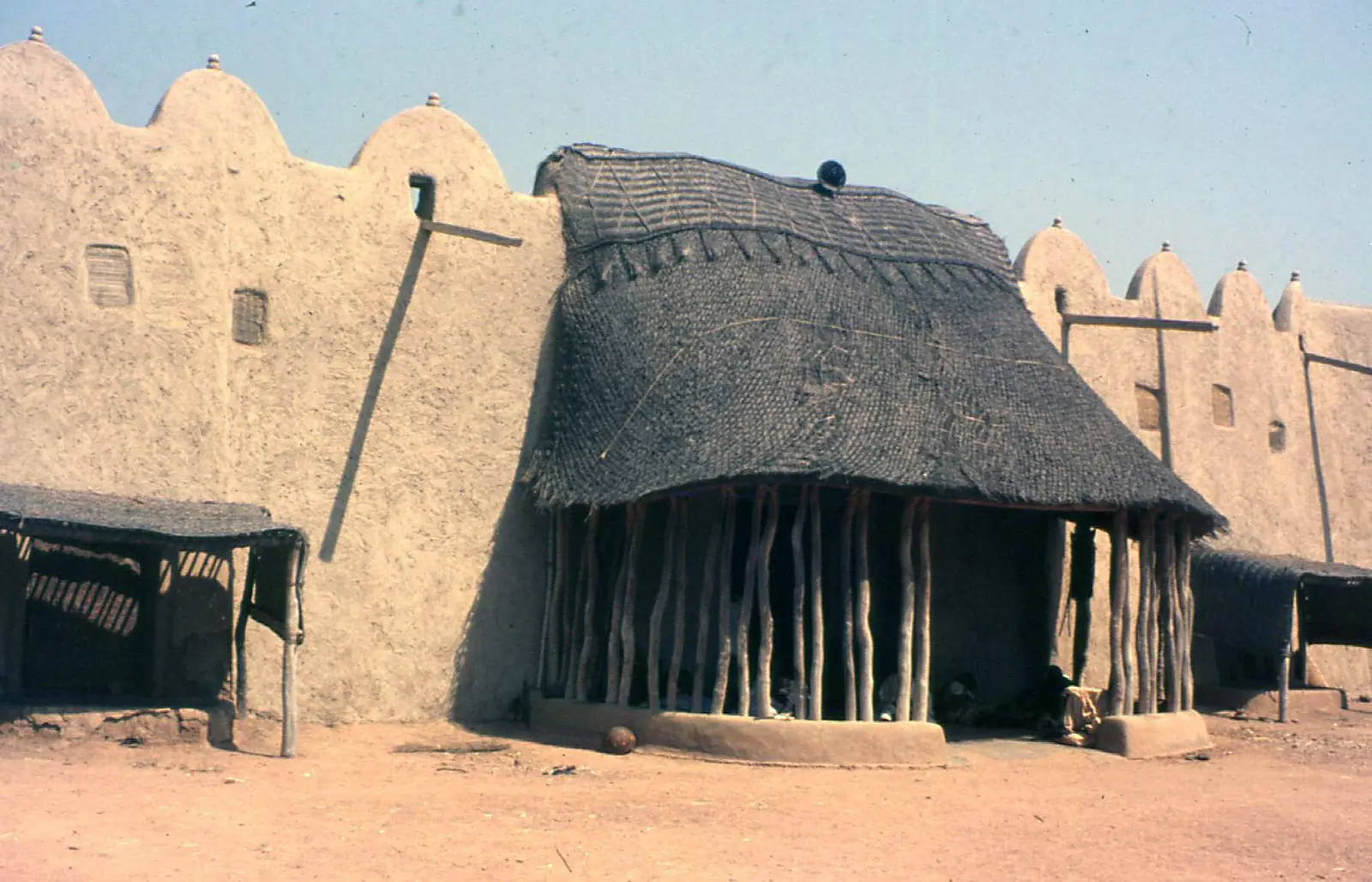
Lamidos rule over individual Fulbe communities and hold wide customary powers, including judging disputes. Human rights groups have criticised some of these powers, particularly the lamidos' prisons. The Lamidat of Rey Bouba, founded in 1798 according to a 2026 university study, stands out for its size, about 36,000 km².1,6
History
The Bata and Fali are credited with settling the site of Garoua in the 18th century. Garoua fell to Modibo Adama's Fulbe forces in 1813, during the jihad launched in 1804, while Wikipedia's city article describes Adama as its founder, so sources differ on the town's origin.1,4
German administrators reached Garoua in 1901, and British forces took it during the First World War. France then ruled the area through the lamidos. Ahmadou Ahidjo, Cameroon's first president, came from Garoua, and his government favoured the city and started the cotton company SODECOTON in 1974. The present region dates from the 1983 split of the old North Province.1,4
What the region is known for
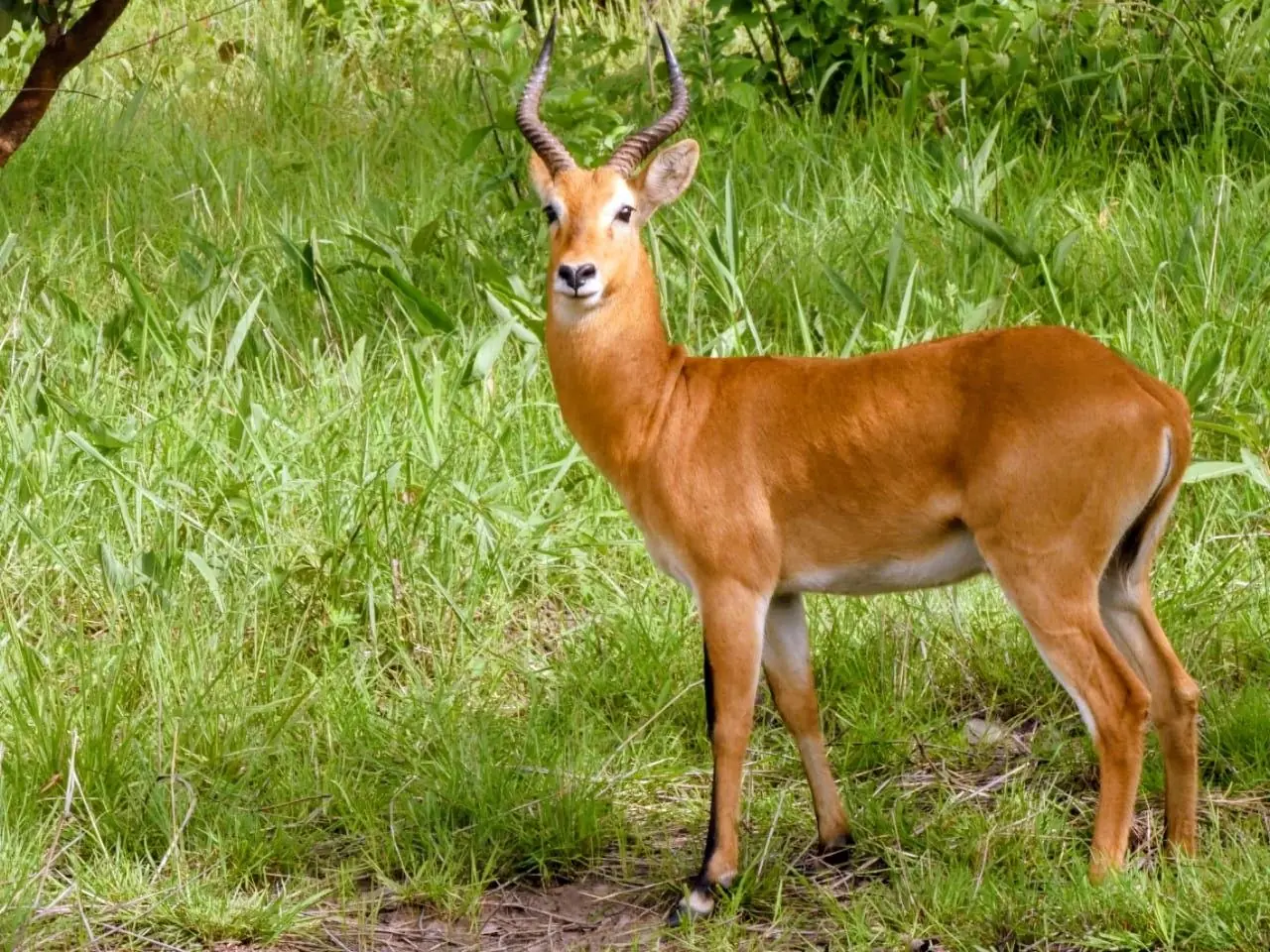
This site lists three national parks here. Bénoué National Park covers about 1,800 km², became a national park in 1968 and a UNESCO biosphere reserve in 1981. A 2024 University of Bristol release says as few as 27 Kordofan giraffes remain there, and quotes Dr Caspian Johnson of Bristol Zoological Society saying all resident elephants have been lost, though Wikipedia's park article still lists elephants. Bouba Ndjida National Park covers about 2,200 km²; poachers killed some 200 of its elephants in 2012. Faro National Park is given as 3,300 or 3,418 km². An October 2025 African Wildlife Foundation report recorded 34 large and medium-sized mammal species and 508 hippos along part of the Faro.7,8,9,10,11
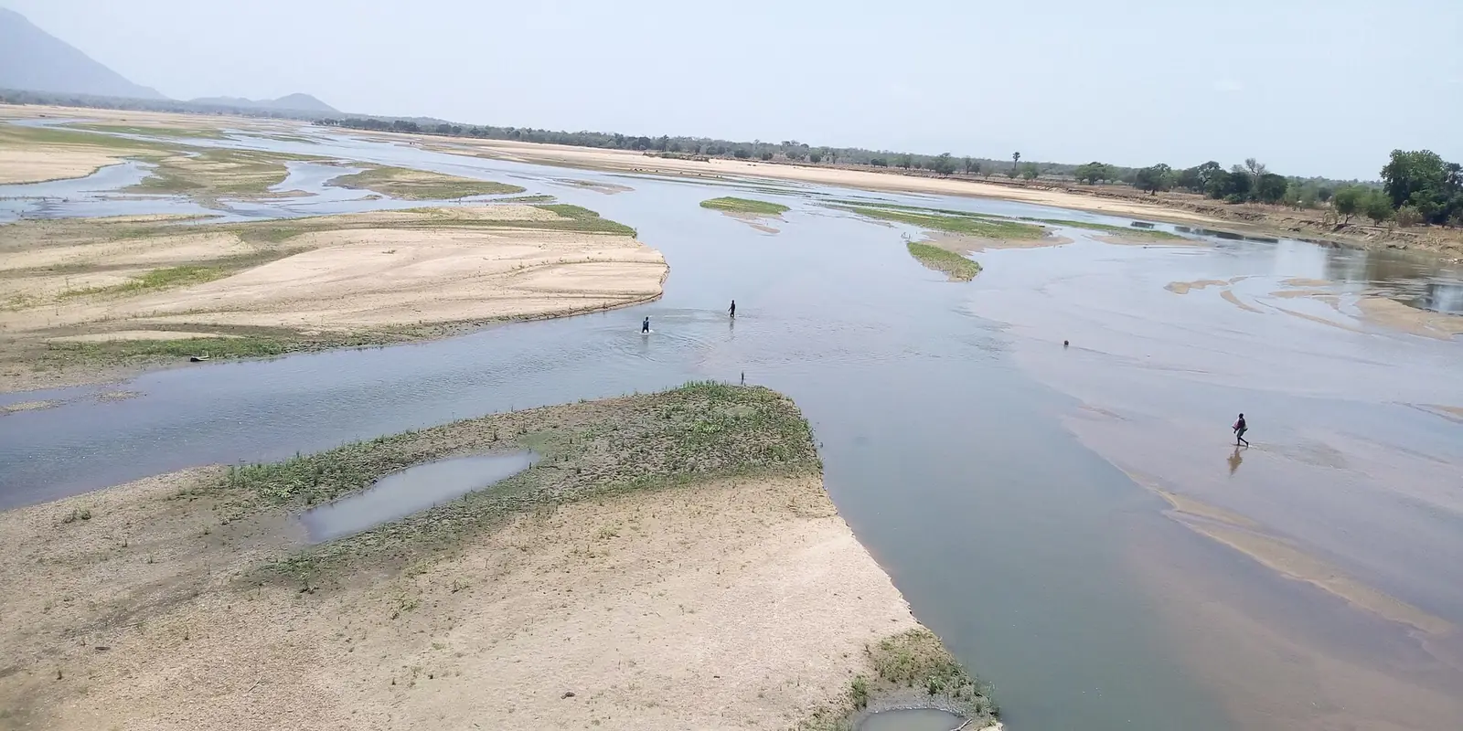
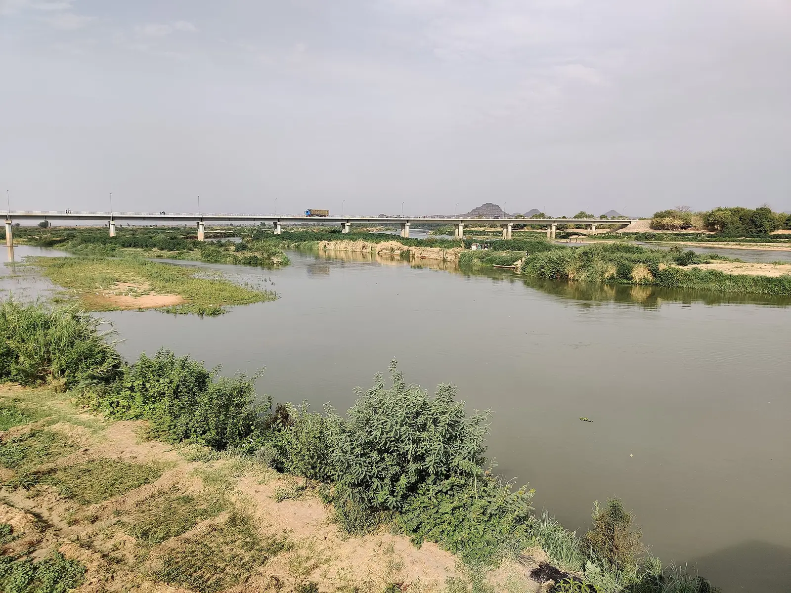
Wikipedia describes tourism here as centred on hunting in the parks, without giving a date. The site also lists the Bénoué River, the region's main waterway, and the Lagdo Reservoir.1,12
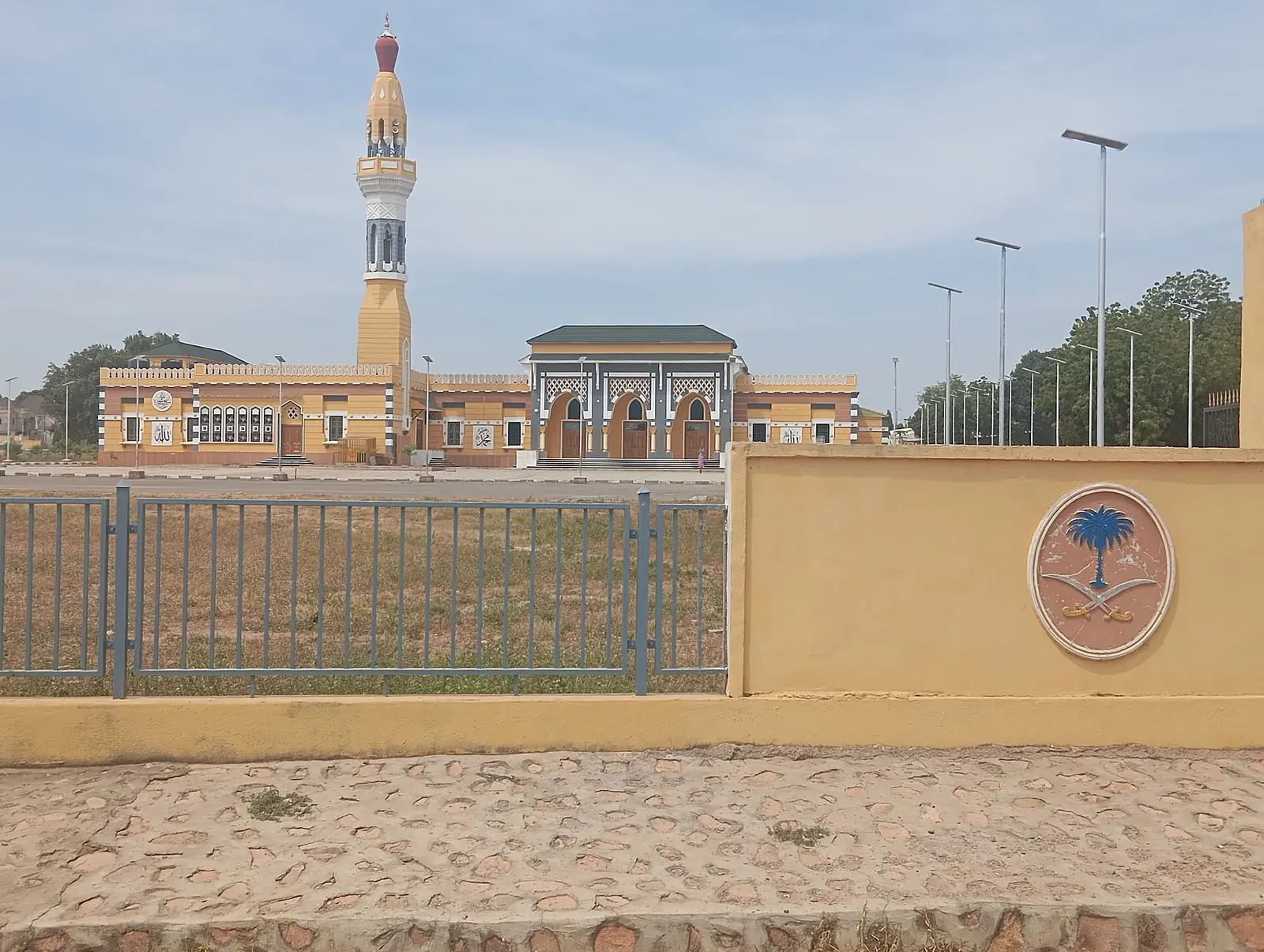
The Palace of Rey Bouba, built between 1805 and 1808 behind a wall about 7 m high, has been on UNESCO's Tentative List since 2006. In Garoua, the Grande Mosquée de Poumpoumré was inaugurated in 1981 and reopened in early 2024 after renovation. The uplands around Poli, also on this site, are home to the Doayo people, whose small cattle play a part in funeral rites rather than trade.5,13,14
Farming, food, crafts and festivals
Sorghum, millet and maize are the staples, and cassava matters on the plateau. Cotton is the main cash crop. Weaving and embroidery are important crafts, and Wikivoyage lists a craft centre in Garoua, the Village Artisanal.1,15
The Fulbe observe Islamic holidays, including Ramadan and the Feast of the Ram, and non-Muslim peoples keep their own ceremonies and dances. Horse parades, known as fantasias, have a long history in northern Cameroon: L'Express reported lamidos and riders parading in Garoua when Ahidjo marked independence in 1960. We found no dated festival programme.1,16
Getting there and around
The railway from Yaoundé ends at Ngaoundéré, in Adamawa, so rail travellers continue by road. A paved road runs from Ngaoundéré through Garoua to Maroua, and the bus from Ngaoundéré to Garoua takes about four hours, according to Wikivoyage. Garoua lies on National Highway 1.1,4,19,20
Garoua International Airport serves the region. A March 2023 press report gave Camair-Co five nonstop round trips a week from Douala and Yaoundé, and Wikipedia's airline article listed Garoua as a destination in December 2024. The Bénoué is navigable to Nigeria only in the wet season; the region's Wikipedia article puts the port's working period at July to October.1,17,18
In pictures
Map
Still to confirm
Our sources can't yet confirm these points:
- Current population: Wikipedia's table gives 2,297,000 for 2022 with no citation, and the census report itself could not be opened
- Garoua's current population: Wikipedia's city article gives about 900,000 in 2022 without a traceable source
- Current flight schedules to Garoua
- Current road condition between Ngaoundéré, Garoua and Maroua, and current bus times
- Current state of wildlife in Bouba Ndjida, and whether elephants remain in Bénoué
- Which region Faro National Park falls in: Wikipedia places it in the North, the African Wildlife Foundation in Adamawa
- Dates of festivals and fantasias
Sources for this page
Information checked on 6 November 2026. It may have changed since.
- North Region (Cameroon), Wikipedia (undated)
- Regions of Cameroon, Statoids (Gwillim Law), quoting Annuaire Statistique du Cameroun 2011, Institut National de la Statistique (undated)
- Regions of Cameroon, Wikipedia (undated)
- Garoua, Wikipedia (undated)
- Palace of Rey Bouba, Wikipedia (20 October 2026)
- Les palais des souverains des lamidats de Ngaoundéré et Rey-Bouba du Cameroun septentrional, Pascal Greng, Université de Ngaoundéré, Revue Enclume d'Ivoire vol. 3 no. 7 (2026-04)
- Bénoué National Park, Wikipedia (undated)
- News release on Kordofan giraffe in Bénoué National Park, University of Bristol, via EurekAlert! (23 January 2024)
- Bouba Njida National Park, Wikipedia (undated)
- Faro National Park, Wikipedia (undated)
- Rediscovering Faro National Park, African Wildlife Foundation (10 October 2025)
- Lagdo Reservoir, Wikipedia (undated)
- Article on the renovation of the Grande Mosquée de Poumpoumré, Cameroon Tribune (4 March 2024)
- Doayo cattle, Wikipedia (undated)
- Garoua, Wikivoyage (listings dated to February 2023)
- Horses in Cameroon, Wikipedia, citing L'Express (1960) (undated)
- Réseau domestique : Camair-Co procède à la restructuration de ses vols vers Ngaoundéré, Garoua et Maroua, EcoMatin (28 March 2023)
- Camair-Co, Wikipedia (destinations table dated December 2024) (undated)
- Ngaoundéré, Wikipedia (5 October 2026)
- Ngaoundéré, Wikivoyage (26 March 2026)