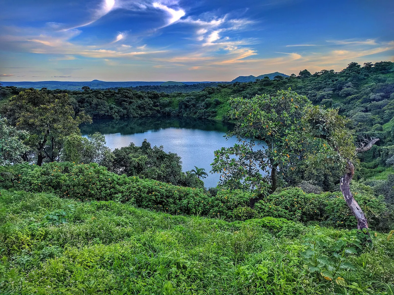
A high plateau of grassland and savanna between Cameroon's forested south and savanna north, with crater lakes, waterfalls and a long tradition of Fulbe cattle herding. Its capital, Ngaoundéré, is the end of the railway from Yaoundé.
Places to visit
- Population
- 884,289 (2005 census, as published in the 2011 statistics yearbook)2
- Main languages
- Fulfulde, Gbaya, Dii, Mambila, Tikar, Bitare; French1
A plateau between south and north
The Adamawa Region sits between Cameroon's forested south and its savanna north, bordering Nigeria to the west and the Central African Republic to the east. It covers about 63,700 km²: the national statistics yearbook, as quoted by Statoids, gives 63,691 km², and Wikipedia's table of regions gives 63,701 km². It's sparsely settled, with much of the land used for grazing. The 2005 census count is 884,289 in the yearbook and 903,000 in Wikipedia's table. Ngaoundéré, the capital, had 152,700 people in that census.1,2,3,4
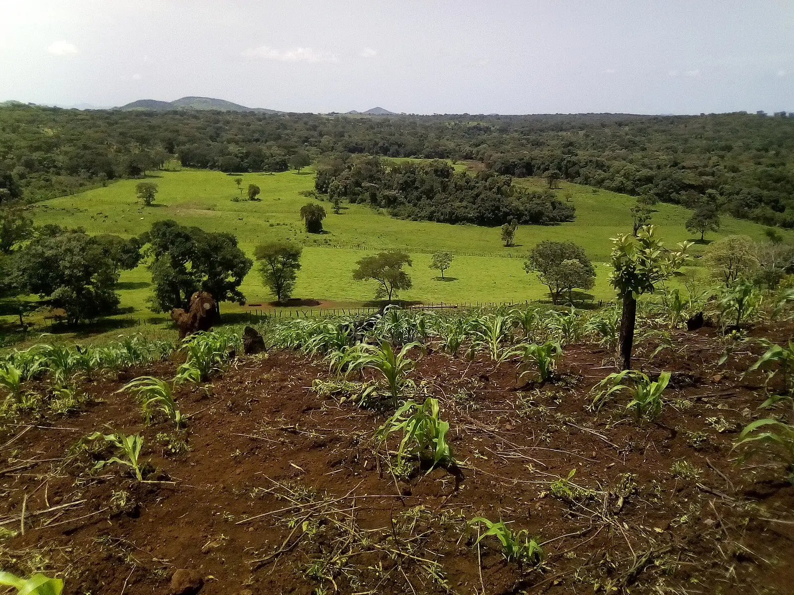
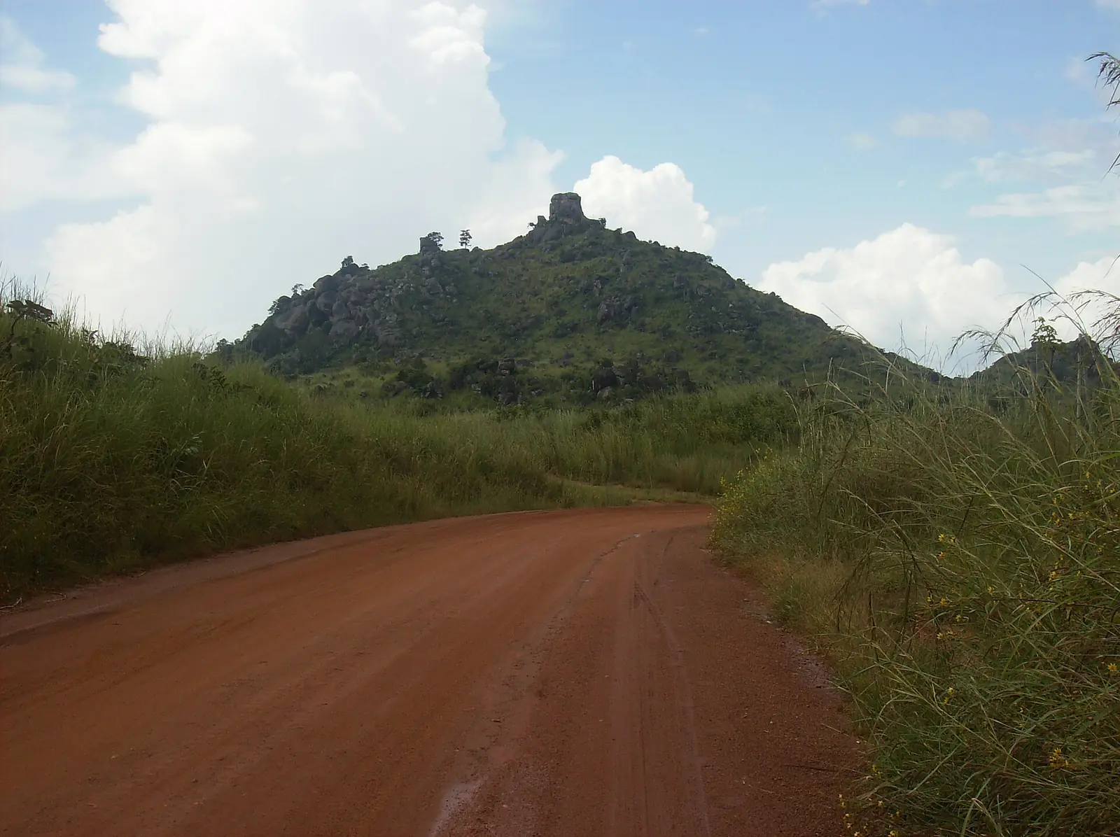
The Adamawa Plateau ranges from 1,000 to 2,000 m and averages about 1,100 m. The highest point is Tchabal Mbabo, near the Nigerian border, given as 2,460 m or 2,456 m depending on the source. The land is mostly grass and savanna, shaped by brush fires and grazing, and the original vegetation survives mainly in the river valleys.1,7
The region is sometimes called Cameroon's water tower because so many rivers rise here, including the Bénoué. Old volcanic activity also left crater lakes, among them Tison and Mbalang near Ngaoundéré.1,5
Climate and seasons
Average temperatures are given as 22 to 25 °C. On the plateau, the dry season starts in November and the wet season in April. Rainfall averages 900 to 1,500 mm a year, with May and June the wettest months and a second peak in August. Temperatures dip from November to January, then climb under the Harmattan wind to a high in April. Rivers run high from May to September and can fall very low or dry up from October to April.1
Peoples, languages and lamidos
The Fulbe (Fulani) are the largest group, at an estimated 60% of the population, though that figure carries no date. Most live in towns such as Ngaoundéré, Banyo, Tibati and Tignère, while others move with their herds. Other peoples include the Mbum, Gbaya, Dii, Pere, Vute, Mambila and Tikar. Fulfulde serves as the common language, and most people with formal schooling also speak French. Islam is widely followed, especially among the Fulbe; Christians are a minority, and some communities keep older beliefs.1
Traditional Muslim rulers called lamidos remain influential, with a lamido in most large towns. In Ngaoundéré, a 2024 report describes the Fadah, a gathering of dignitaries and neighbourhood chiefs held usually on Fridays and Sundays, where public announcements are passed on.1,10
History
Fulbe settlers arrived in small numbers from about the 13th century. After Usman dan Fodio called a jihad in 1804, his lieutenant Modibo Adama, after whom the region is named, led conquests here for what became the Sokoto Caliphate. Sources date the founding of the Ngaoundéré lamidate by Ardo Njobdi to about 1830 or about 1835, on land of the Mbum; the lamido is still expected to descend from the Mbum on his mother's side.1,4,5,6
Germany took Banyo and Tibati in 1899 and Ngaoundéré in 1901, and kept most cooperative lamidos in place. France took over after the First World War and followed much the same approach while building roads. The present region was created in 1983, when the old North Province was split in three.1,4
What the region is known for
Cattle come first. They're central to the economy and to Fulbe life, with herds moving along long routes to markets in Yaoundé and Douala. Wakwa, about 10 km from Ngaoundéré, is listed on this site for its research station and its reservoir of about 12 ha.1,8
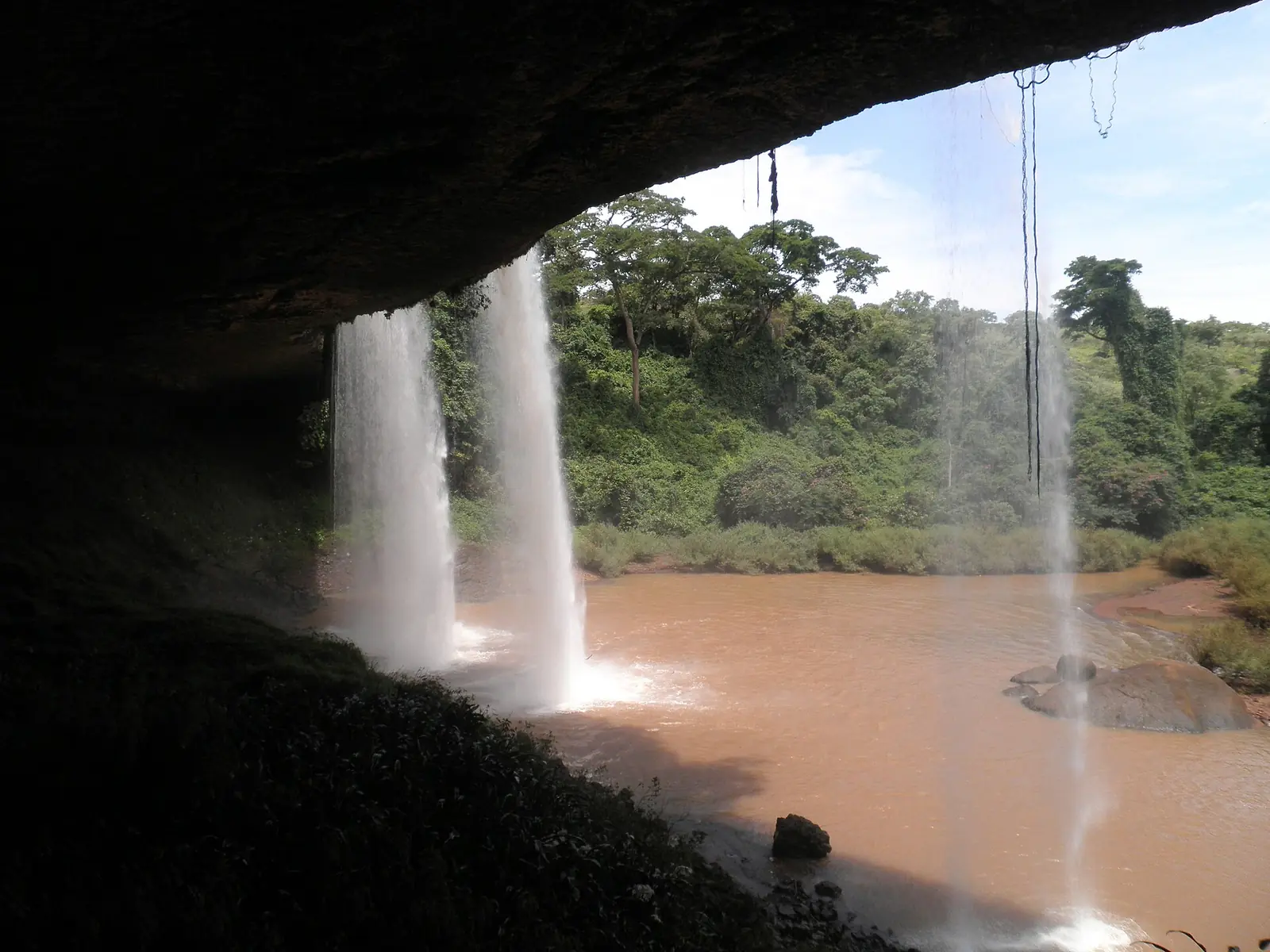
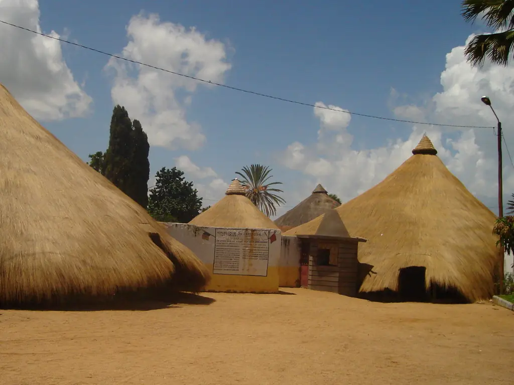
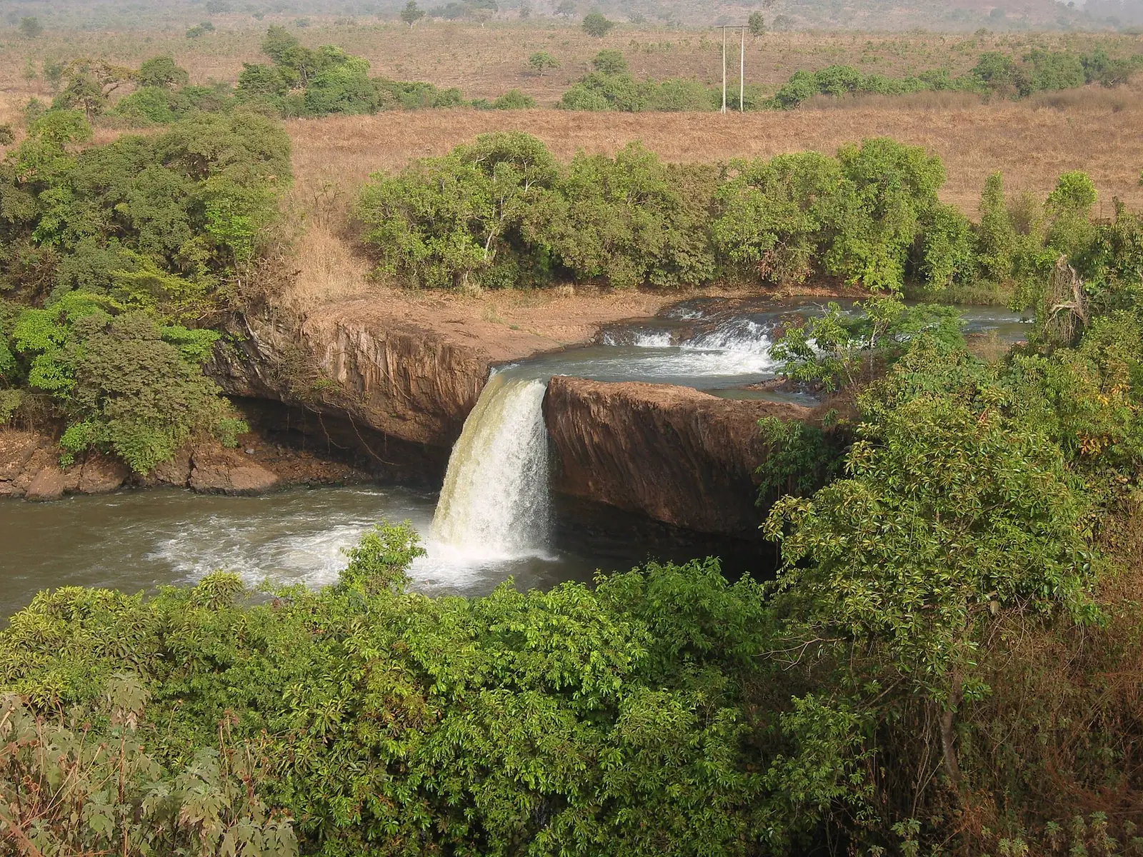
Around Ngaoundéré, this site lists the Lamidat de Ngaoundéré, with its round thatched buildings in the city centre, and the crater lake of Tison, 8 km out. Vina Falls lies 15 km along the Meiganga road and is described as either 30 m or 40 m high. At Tello Falls, about 40 km out, Kew records six globally threatened plant species, one of them found nowhere else. Further west is Tchabal Mbabo, with montane forest on its steep slopes.7,8,9,16
Food, crafts and horsemanship
Millet is the staple, with maize and cassava also important. Ngaoundéré's best-known speciality is kilichi, thin strips of beef dried, coated with a peanut mix and grilled. In 2016 and 2017 it was reported as a candidate for a geographical indication through the regional intellectual property body OAPI; we couldn't confirm that it has been registered. Local crafts include leatherwork, woodwork and mat weaving.1,12,13
Horses carry prestige in Fulbe society, and chiefs use them as a sign of authority. In Ngaoundéré, the 2024 report describes the fantasia, held for major occasions and often for religious festivals, with hundreds of riders in traditional dress parading before the lamido to drums and horns. We found no fixed calendar for it.10,11
Getting there and around
Ngaoundéré is the end of the railway from Yaoundé, a line of about 622 km; another source gives 667 km. Its dates vary by source: one has construction starting in 1961 and reaching the city ten years later, another says it was completed in 1973, and a third has work starting in late 1964 and service from 1974. A timetable on Seat61, a rail travel site updated in January 2026, shows a nightly train leaving Yaoundé at 19:50 and arriving at 12:32 the next day, with couchettes and seats.1,4,14,15,16
A paved road runs north from Ngaoundéré to Garoua. Wikipedia describes most roads within the region as unpaved and poorly maintained, but gives no date. Sources disagree on flights. Wikivoyage says the airport has no scheduled services, and Wikipedia's city article reports very little traffic, while a March 2023 press report gave Camair-Co five flights a week from Douala and Yaoundé, and Wikipedia's airline article listed Ngaoundéré as a destination in December 2024.1,4,16,17,18
In pictures
Map
Still to confirm
Our sources can't yet confirm these points:
- Current population: Wikipedia's table gives 1,124,000 for 2022 with no citation, and the census report itself could not be opened
- Current Camrail timetable and fares (Seat61 lists fares without a date)
- Whether Ngaoundéré Airport has scheduled flights today
- Current condition of roads within the region and from the south
- Whether Ngaoundéré's kilichi has been registered as a geographical indication
- Dates of the fantasia and other festivals
Sources for this page
Information checked on 6 November 2026. It may have changed since.
- Adamawa Region, Wikipedia (3 November 2026)
- Regions of Cameroon, Statoids (Gwillim Law), quoting Annuaire Statistique du Cameroun 2011, Institut National de la Statistique (undated)
- Regions of Cameroon, Wikipedia (undated)
- Ngaoundéré, Wikipedia (5 October 2026)
- Adamawa Plateau, Wikipedia (2 July 2026)
- Les palais des souverains des lamidats de Ngaoundéré et Rey-Bouba du Cameroun septentrional, Pascal Greng, Université de Ngaoundéré, Revue Enclume d'Ivoire vol. 3 no. 7 (2026-04)
- Tchabal Mbabo, Key Biodiversity Areas Partnership (2018)
- Le tourisme dans le département de la Vina (Adamaoua-Cameroun) : mythe ou réalité ? Annexe I, Harry Sadio Fopa, master's thesis, Université de Ngaoundéré (Memoire Online) (2012)
- Tello Falls, Bruce Murphy and Martin Cheek, Royal Botanic Gardens, Kew (29 May 2024)
- Reportage – Cameroun : au cœur de la Fadah et de la Fantasia, Africa 24 (9 October 2024)
- Horses in Cameroon, Wikipedia (undated)
- Kilichi : les saveurs de la viande séchée, Alain Mazda, camer.be (22 November 2017)
- After the Penja pepper and the Oku honey, are we moving toward the certification of the Ngaoundéré kilichi?, Business in Cameroon (13 April 2016)
- History of rail transport in Cameroon, Wikipedia (undated)
- Taking the train in Cameroon, The Man in Seat 61 (rail travel site) (1 January 2026)
- Ngaoundéré, Wikivoyage (26 March 2026)
- Réseau domestique : Camair-Co procède à la restructuration de ses vols vers Ngaoundéré, Garoua et Maroua, EcoMatin (28 March 2023)
- Camair-Co, Wikipedia (destinations table dated December 2024) (undated)