A highland region of grassland, volcanic peaks and crater lakes, with Bamenda as its capital and Fons at the head of its many chiefdoms.
Places in this region
Listed for reference only, not as travel recommendations.
- Capital
- Bamenda, about 1,614 m above sea level7
- Population
- 1,728,953 (2005 census); 2,428,200 (official projection, 1 January 2025)1
Where it is and what it's like
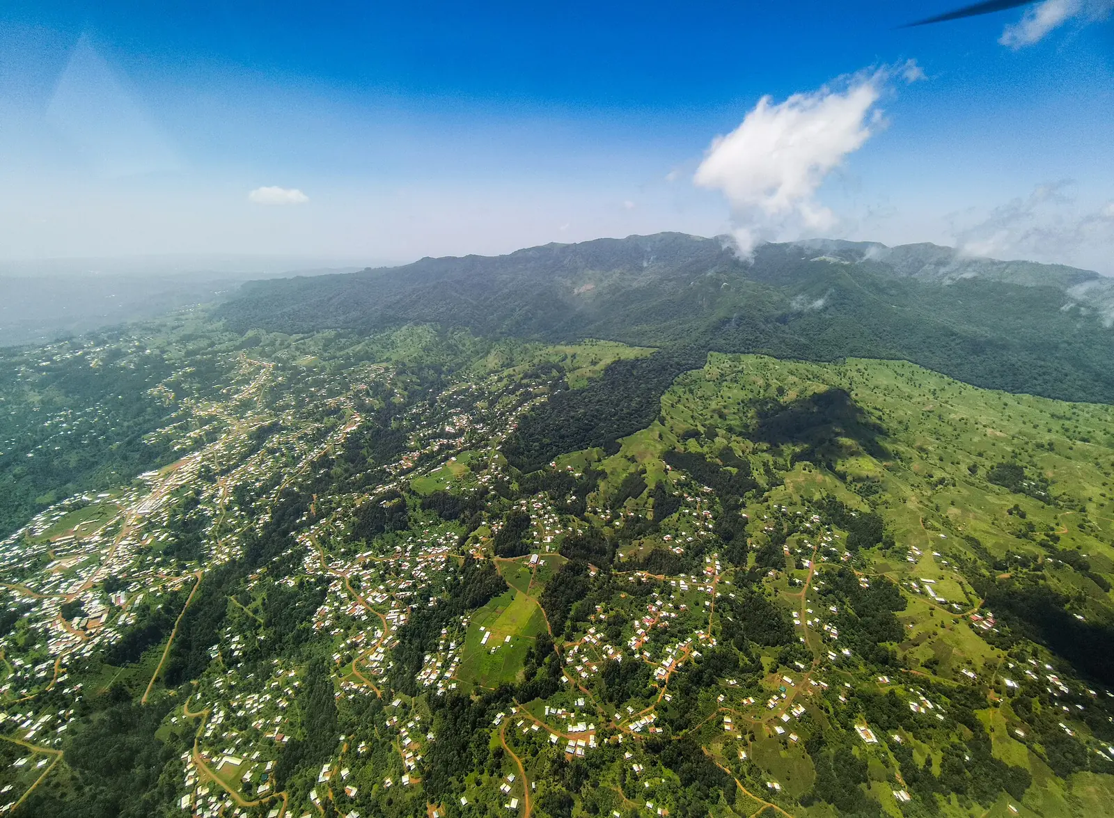
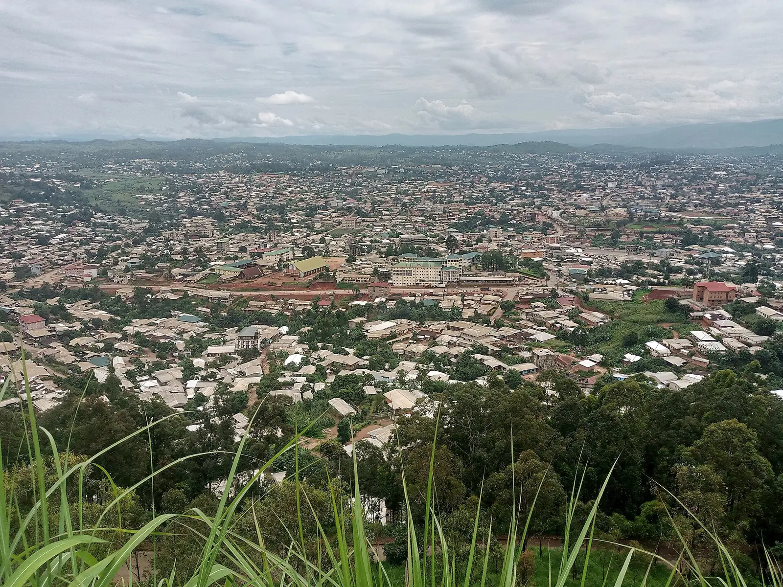
The Northwest Region lies in Cameroon's western highlands, bordering the Southwest, West and Adamawa regions and Nigeria. It has seven divisions. City Population lists its area as 17,300 km², about what the divisions add up to, while French Wikipedia's summary box gives 17,812 km². We couldn't settle the difference.1,3,4
It belongs to the plateau known as the Western High Plateau or Bamenda Grassfields, part of the volcanic Cameroon line. The plateau was once heavily forested. Repeated cutting and burning pushed the forest back to the waterways and let the grassland that gives the area its name spread.5
World Meteorological Organization averages for Bamenda, as quoted by Wikipedia in 2015, show very little rain from November to February (9 to 32 mm a month), a rise from March, and about 390 to 412 mm a month from July to September, for roughly 2,260 mm a year. Average daily highs run from 22.1 °C in July and August to 26.8 °C in February, and lows from 13.1 °C in December to 16.7 °C in April and May. Figures for the wider highlands differ: one account of the plateau gives 1,000 to 2,000 mm a year, another about 1,800 mm or less inland.5,6,7
Censuses counted 980,531 people in 1976, 1,237,348 in 1987 and 1,728,953 in 2005. Official projections, not counts, give 2,428,200 for 1 January 2025. The three Bamenda subdivisions together held 322,889 people in 2005.1,2
Peoples, languages and Fons
Most of the region's languages belong to the Grassfields group, whose members often share about half their vocabulary. Lamnso', Limbum, Yamba, Oku, Ngemba, Mungaka and Nkom are among those widely spoken. In Bamenda many residents speak English, and Cameroonian Pidgin English is the main language of shops and streets.4,7,11
Older accounts sort the population into Tikar, Chamba, Widekum and other groups. A British census of 1953 used such categories, and the researchers E. M. Chilver and P. M. Kaberry called their validity doubtful. Origins are often told through ruling families: Nso' tradition traces its dynasty to Ngonnso', from among the Tikar at Kimi in today's Adamawa. Fulani communities also live in the region.4,12,19,25
Fons lead the chiefdoms, or fondoms. Among the Nso', the Fon rules with a council of notables, a system that colonial rule weakened and that became subordinate to the state after independence. Under the special status granted in December 2019, the regional assembly includes a 20-member House of Chiefs.4,19
History
Eugen Zintgraff, the first European to reach Bali Nyonga, arrived in 1889. Kaberry and Chilver date that chiefdom's foundation to around 1850, under Galega I, over small independent Widekum villages. German-led forces from Bali burned Mankon on 31 January 1891, and German troops raided Bafut in 1901, 1904 to 1905 and 1907.13,16
France and Britain partitioned German Kamerun in 1916. Britain's share, including this region, became a League of Nations mandate and then a UN trust territory. In the plebiscite of 11 February 1961 the southern area voted to join Cameroon, and on 1 October 1961 Southern Cameroons became West Cameroon, a state of the federal republic.4,23
What the region is known for
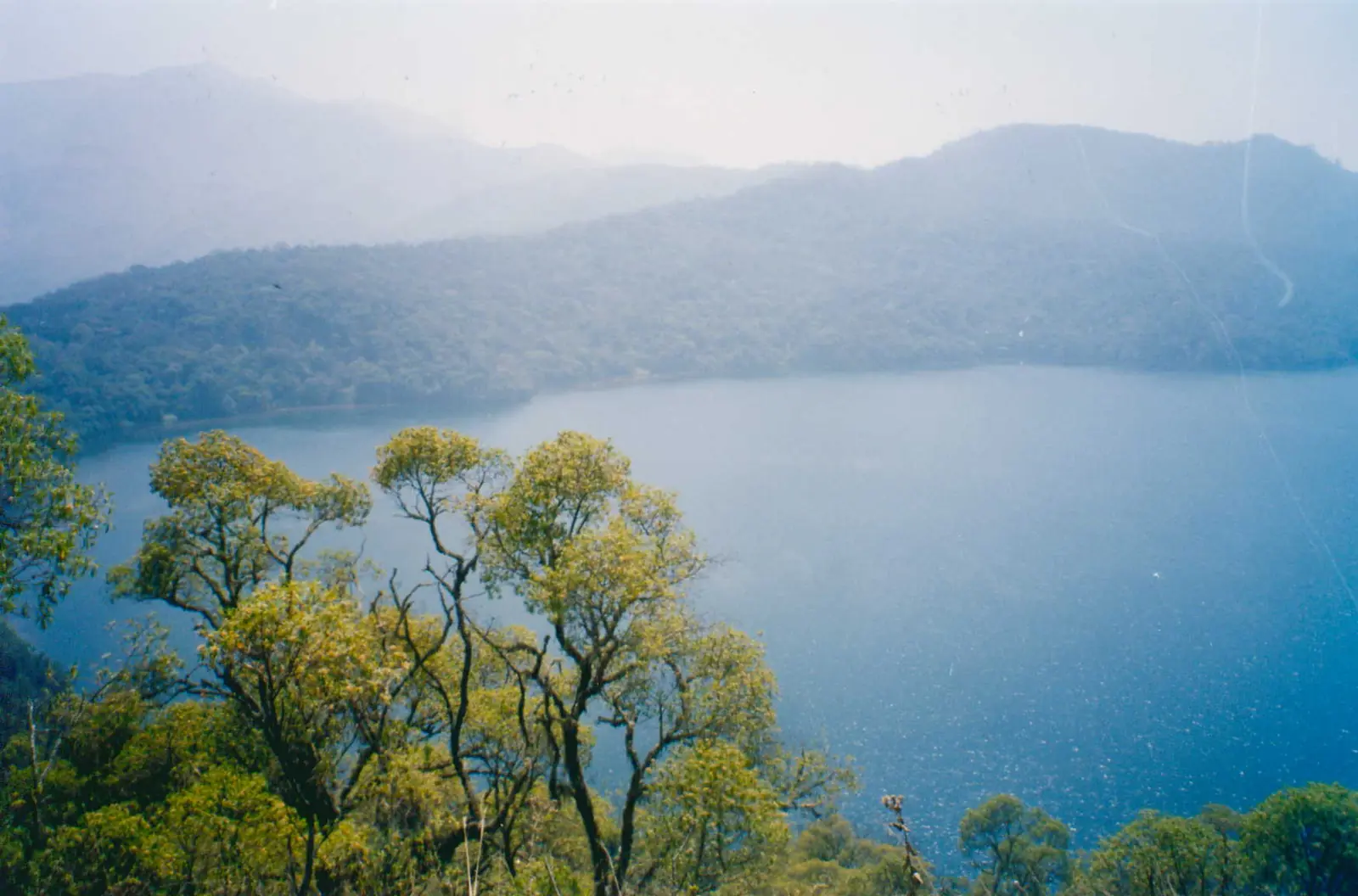
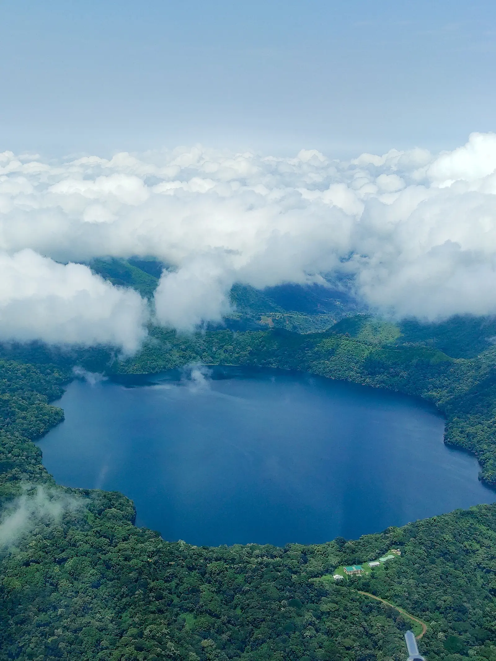
Mount Oku rises to 3,011 m, and its Kilum-Ijim forest is the only extensive forest left in the Bamenda Highlands. Lake Oku, at about 2,200 m and roughly 243 hectares, lies in cloud forest and is the only known home of the Lake Oku clawed frog. Bannerman's turaco, a cultural icon for the Kom people, is one of six bird species found only in the Cameroonian Highlands forests.6,8,9
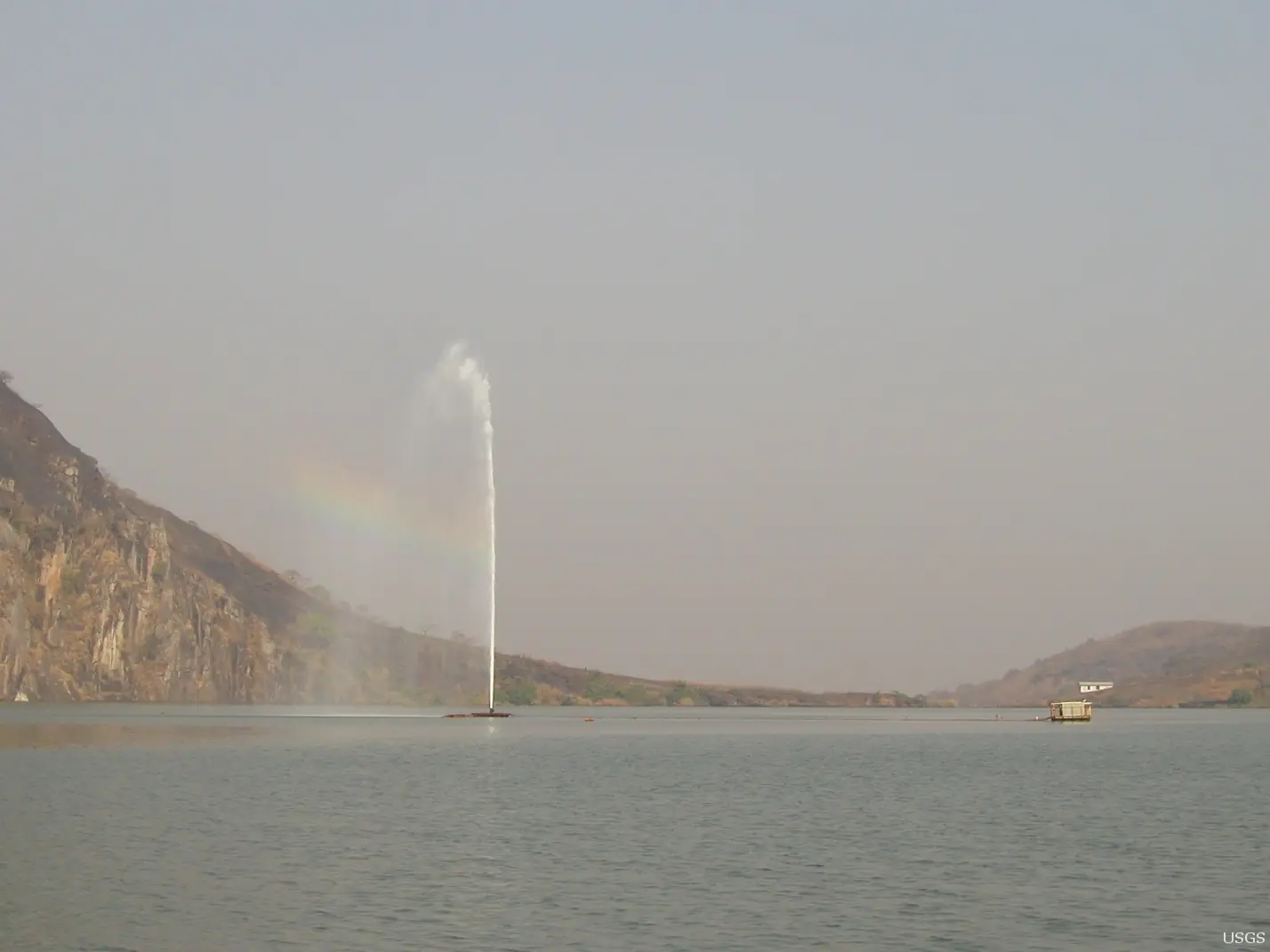
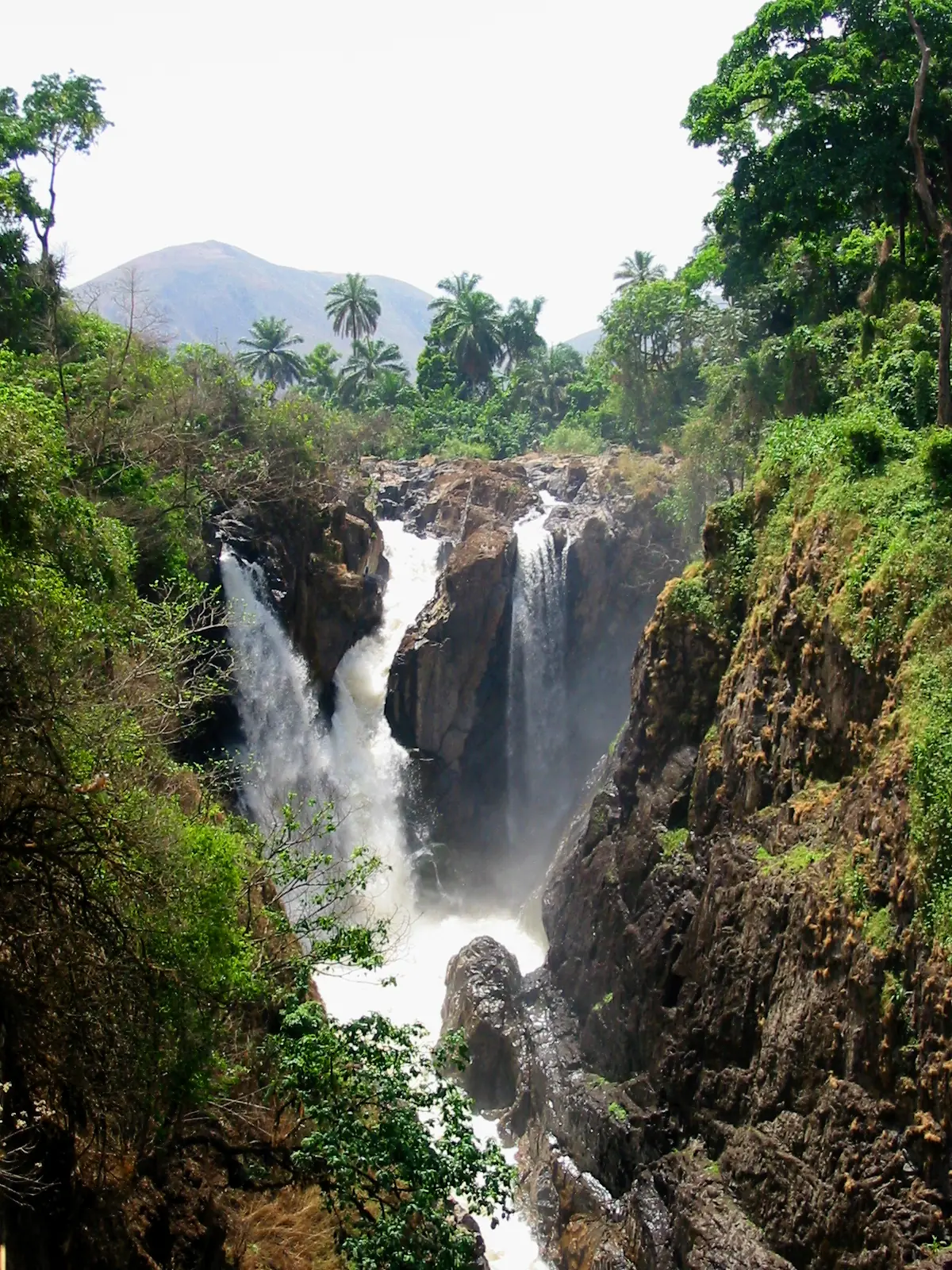
Lake Nyos is known for the gas release of 21 August 1986, which killed 1,746 people and about 3,500 animals. A degassing pipe was installed in 2001, and two more in 2011. Menchum Falls, on the Bamenda to Wum route, was given as about 80 m high by Cameroon Tribune in 2017, which also reported its use as a shrine and for rites.10,24
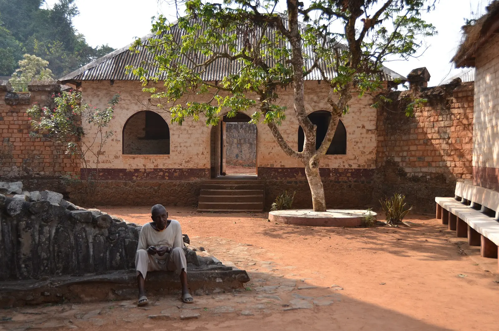
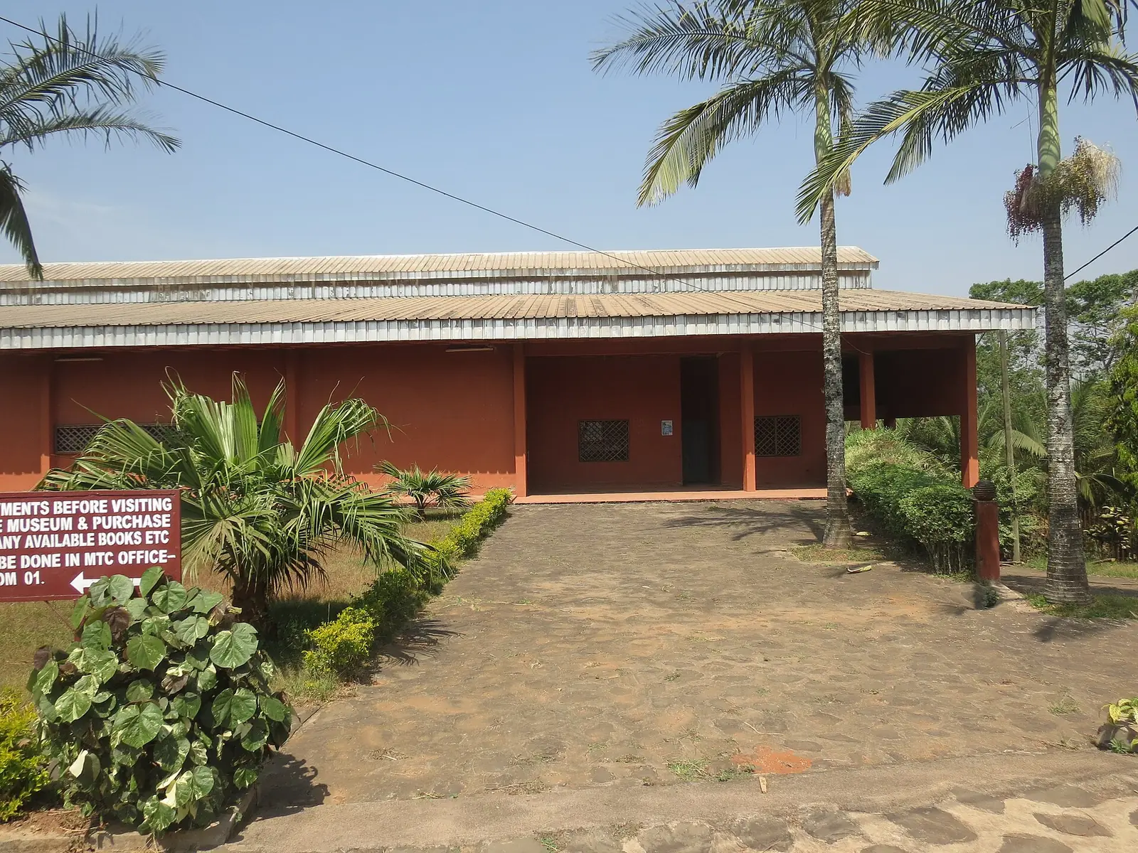
Bafut Palace was rebuilt between 1907 and 1910 after German forces burned it, and the Achum shrine is the only building left from the earlier complex. The World Monuments Fund put the palace on its 2006 watch list. Mankon Museum, opened in 2006 at the entrance to Mankon Palace in Bamenda, holds objects from the palace, some not traditionally meant for public view. Bali Nyonga, a Mungaka-speaking chiefdom, is also known for the Lela festival. Big Babanki, or Kejom Keku, is one of two main villages speaking Babanki, or Kejom.14,15,17,18,25
The Ring Road is a loop of about 365 km through Bamenda, Kumbo, Nkambe, Nyos, Wum and Bafut, crossing five of the seven divisions. Wikipedia gives 367 km and Wikivoyage about 465 km. In June 2020 the government authorised a €160.6 million African Development Bank loan towards building it. Wikivoyage places Sabga Hills on this loop, and an undated cycling account describes a long climb from the Bamenda side, then rolling farmland with waterfalls off the escarpment.7,22,26,27
Crafts, honey and ceremony
Bamenda's shops and museum sell local baskets, beads, woodcarvings and bronze statues. Wikivoyage names Bamessing for pottery and Babungo for its palace museum. Oku White Honey, from the Kilum-Ijim forest, was registered as a geographical indication in 2013, among the first three products registered through the African Intellectual Property Organization.7,21,26
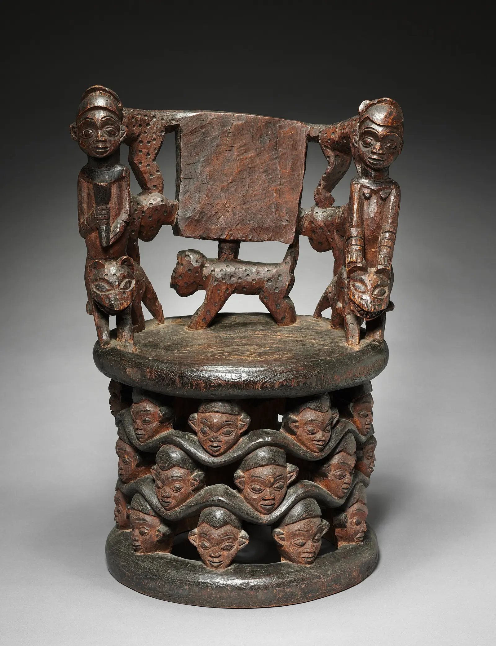
Some objects carry long histories. The Afo-A-Kom, a beaded figure and the foremost symbol of the Kom, was stolen from Laikom in 1966, recognised in a New York gallery in 1973 and then returned to Cameroon. The Ngonnso' figure was taken to Berlin in 1903, and its return was agreed in 2022. Lela, Bali's annual festival, is the subject of a 2006 study by Richard Fardon, who traces it to 18th-century kingdoms in northern Cameroon.15,19,20
In pictures
Map
Still to confirm
Our sources can't yet confirm these points:
- The region's exact area: 17,300 km² or 17,812 km²
- A current population count: the latest census we found is from 2005, and later figures are projections
- Lela's dates at Bali: no source we read gives them
- How far the Ring Road's construction has progressed since 2020, and its exact length
- Recent rainfall averages: the Bamenda figures come from a 2015 quotation of WMO data
Sources for this page
Information checked on 6 November 2026. It may have changed since.
- Cameroon: Regions, Major Cities & Towns, City Population (figures from BUCREP and the Institut National de la Statistique, Cameroon) (undated)
- Cameroon: Administrative Division, City Population (figures from BUCREP and the Institut National de la Statistique, Cameroon) (undated)
- Région du Nord-Ouest (Cameroun), Wikipédia (undated)
- Northwest Region (Cameroon), Wikipedia (undated)
- Western High Plateau, Wikipedia (13 October 2024)
- Cameroonian Highlands forests, Wikipedia (undated)
- Bamenda, Wikipedia (undated)
- Mount Oku (6115), Key Biodiversity Areas Partnership (2024)
- Lake Oku, Wikipedia (undated)
- Lake Nyos disaster, Wikipedia (undated)
- Grassfields languages, Wikipedia (undated)
- Chronology of the Bamenda Grassfields (abstract read), The Journal of African History, E. M. Chilver and P. M. Kaberry (1970-04)
- An Outline of the Traditional Political System of Bali-Nyonga, Southern Cameroons (extract and summary read), Africa, P. M. Kaberry and E. M. Chilver (1961-10)
- Bali Nyonga, Wikipedia (undated)
- Lela in Bali: History through Ceremony in Cameroon (publisher's page read), Berghahn Books, Richard Fardon (2006-12)
- Bafut Wars, Wikipedia (undated)
- Fon of Bafut, Wikipedia (undated)
- Mankon Museum, Wikipedia (undated)
- Nso people, Wikipedia (undated)
- Afo-A-Kom, Wikipedia (undated)
- Bees, geographical indications and development, World Intellectual Property Organization (24 November 2014)
- Cameroon signs CFAF106 bln loan agreement with the AfDB for construction of the 365 km Ring Road, Business in Cameroon (24 June 2020)
- British Cameroons, Wikipedia (undated)
- Wum: Menchum waterfalls still marvelling (opening part read; rest paywalled), Cameroon Tribune (1 February 2017)
- Babanki, Wikipedia (undated)
- Bamenda, Wikivoyage (travel guide) (undated)
- Ndop (cycling trip dispatch), Ibike (travel account) (undated)