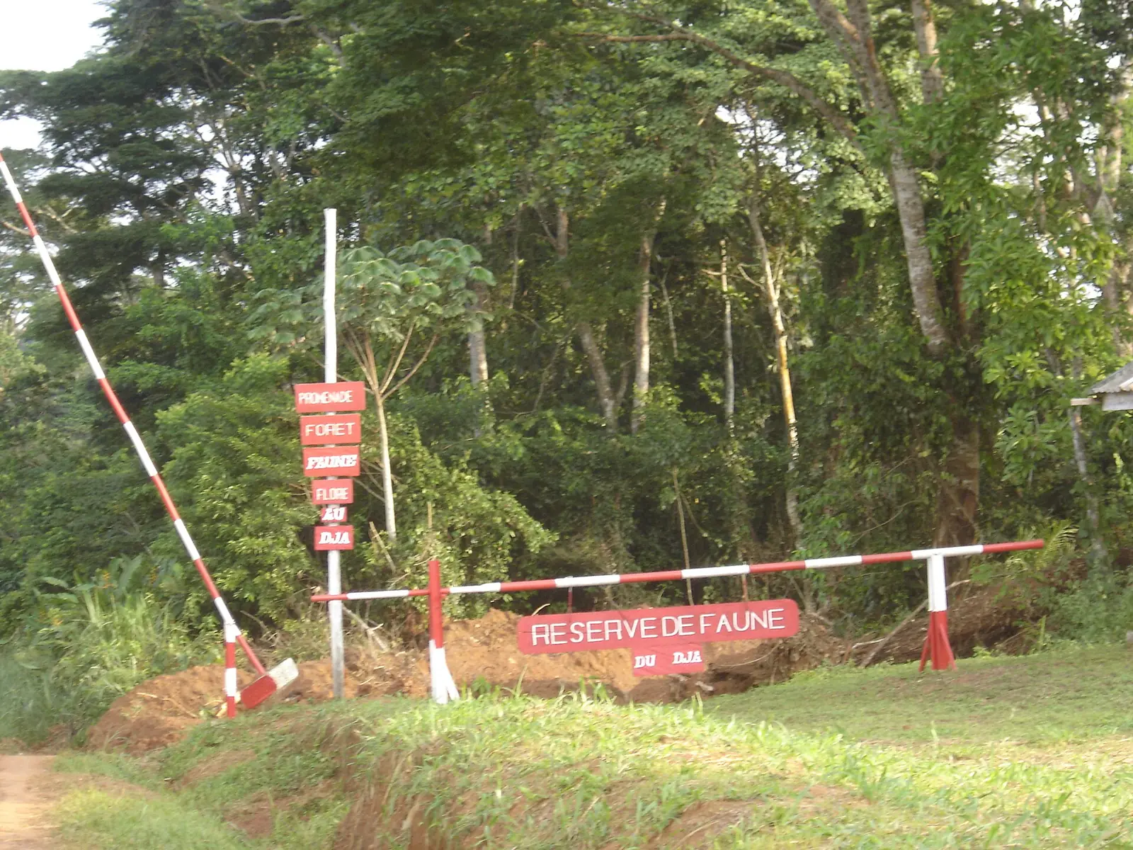
Cameroon's largest and most sparsely populated region, the East runs from wooded savanna around Bertoua to rainforest on the borders with the Central African Republic and Congo. It includes the Dja and Lobéké World Heritage areas.
Places to visit
Where it is and what it is like
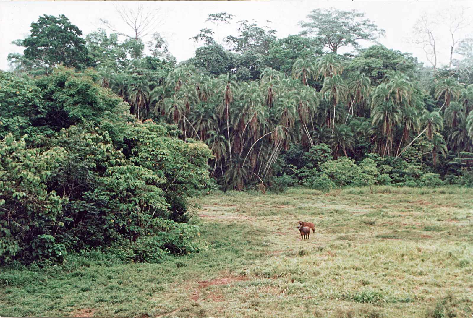
The East is Cameroon's largest region and its most sparsely populated, covering about 109,000 km². It borders the Central African Republic to the east and Congo to the south, with Adamawa to the north and the Centre and South regions to the west. Most of it lies on the South Cameroon Plateau at 500 to 1,000 m, in gentle hills sometimes called "half-oranges", falling to plains of 200 to 500 m in the far south-east.1,2,3
Rainforest covers about the southern two-thirds, growing thicker towards the south. From around the latitude of Bertoua and Batouri, humid wooded savanna takes over. Logging is the main industry, and the same source reports pressure on wildlife from deforestation and the bushmeat trade.1
Climate and seasons
It is warm all year, averaging about 24°C, with 1,500 to 2,000 mm of rain. Sources disagree on the seasons. A page on Bertoua gives a long dry season from December to mid-March, short rains from mid-March to mid-May and long rains from mid-September to November. The regional article instead gives a long dry season from December to May. We found no station record to settle this.1,5
Peoples, languages and traditional institutions
Speakers of Makaa-Njem languages are the largest Bantu group: the Maka around Abong-Mbang and Doumé, the Njem around Lomié and the Mpo near Yokadouma. The Kaka live around Batouri. The Gbaya, the largest Ubangian group, hold most of Lom-et-Djérem, including Bertoua. Most peoples keep their own language, and educated people usually also speak French. Villages may have a traditional chief, though this person usually holds little formal authority.1
The Baka are forest people of the south-east, commonly regarded as the area's earliest inhabitants. One undated estimate puts the Baka in Cameroon at about 30,000. Traditionally semi-nomadic hunter-gatherers, they are becoming more settled as forest is cleared. Jengi, a protective forest spirit, is central to their initiation ceremonies. Sources also report strained relations with Bantu neighbours, including exploitation of Baka labour and land.1,9,11
History
Archaeological finds around Batouri, Bertoua and Bétaré-Oya show human presence since prehistoric times. Bantu peoples arrived in waves from the 17th century. Germany negotiated the eastern border with France between 1885 and 1908 and relied on forced labour for roads and plantations; the Gbaya leader Mbartoua led a rebellion around Bertoua in 1903.1
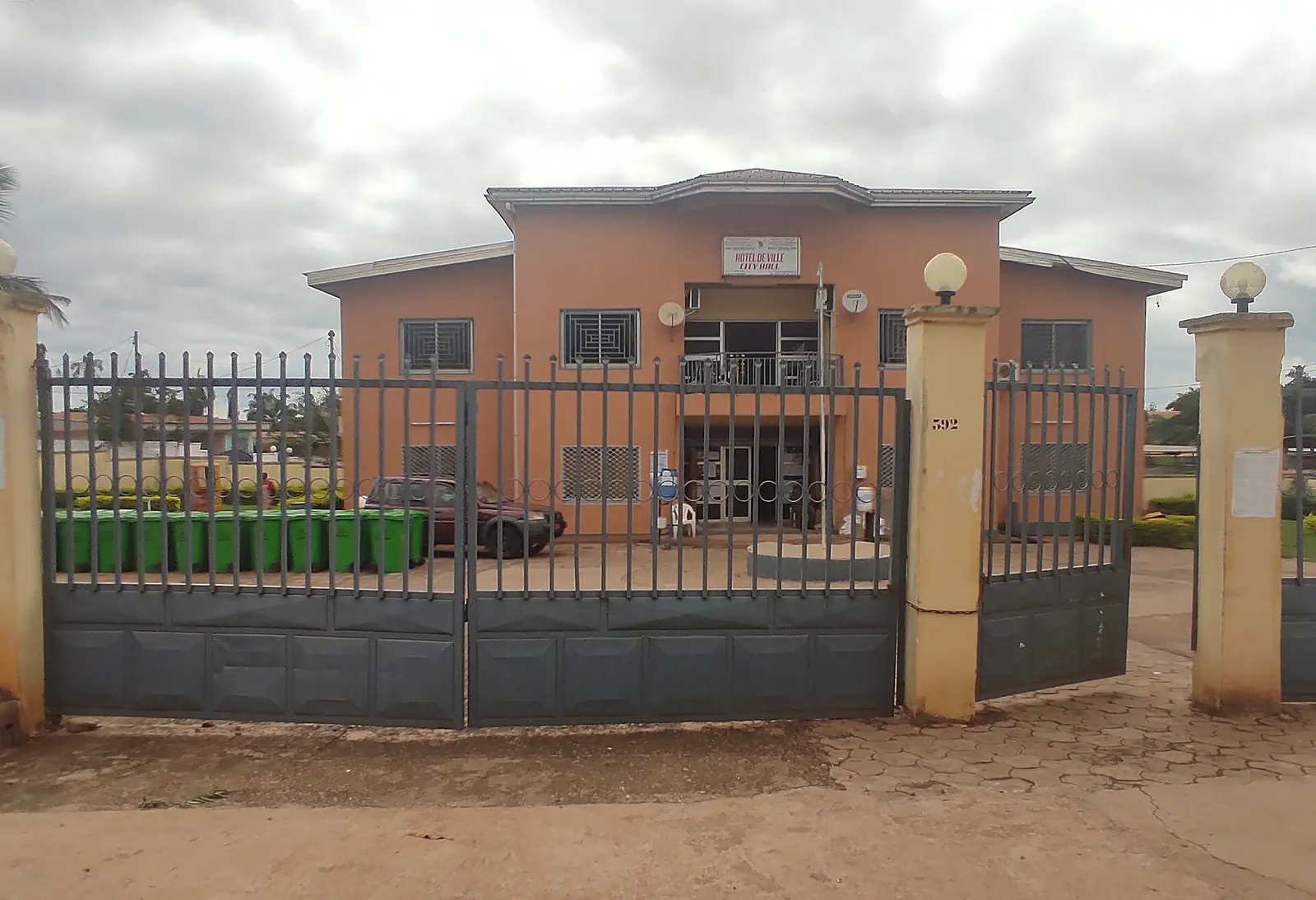
Sources differ on Bertoua's rise. One article moves the regional capital there from Doumé in 1972, while another makes the town an administrative seat in the period after 1960. The railway reached Bélabo during the Transcamerounais project of the 1960s and 1970s: sources give 1969 or 1974.1,5,15,16,17
What the region is known for
Protected rainforest is the region's best-known feature. The Dja Faunal Reserve, about 526,000 ha and shared with the South Region, is almost encircled by the Dja River, and UNESCO records over 100 mammal species there, including at least 14 primates. Lobéké National Park (217,854 ha, created in 2001), in the extreme south-east, forms the Cameroonian part of the Sangha Trinational, a World Heritage Site since 2012, and has its headquarters at Mambélé. WWF gives 238,255 ha for Boumba Bek National Park and about 309,362 ha for Nki National Park, both gazetted in 2005. UNESCO lists forest elephants, western lowland gorillas and chimpanzees among the species of its two sites.1,6,7,8,9,10
Bélabo Railway Station is a loading point for logs from eastern Cameroon and the Central African Republic. Gold is found near Bétaré-Oya. The Lom Pangar Dam, about 88 km north of Bertoua, is intended to regulate flows on the Sanaga and was reported completed in 2017.1,14,16,17
Food and festivals
Mbôl, a very sticky sauce made from forest bark with meat, smoked fish, shrimp and crayfish, is described as a specialty of the East and is usually served with cassava fufu. A festival devoted to it held its fourth edition from 5 to 10 August 2024, at the National Museum in Yaoundé. In the region itself, the Edjengui Malôlô festival of Baka culture held its fourth edition in Diassa, Haut-Nyong, starting on 17 February 2022, with forest dances and traditional healing consultations.12,13
Getting there and around
National Road 10 runs east from Yaoundé through Ayos, Abong-Mbang and Bertoua to Batouri, then south through Yokadouma to Moloundou. The Yaoundé to Bertoua drive is about 333 km according to a route planner, or 350 km according to another source. One article calls this road unpaved, but that is out of date: the OPEC Fund lists its 103 km Abong-Mbang to Bonis paving project as completed, and a June 2022 report calls Ayos to Bonis a paved road under rehabilitation.1,5,18,23,24,25
Further east, 45 km of the Bertoua to Batouri road opened in June 2022, with the remaining section nearly finished at that date. The road from Bertoua to Garoua-Boulaï on the Central African border was paved in 1997. Reaching Lobéké took Mongabay's reporters two days by road from Yaoundé, about 750 km, in 2025. The regional article describes public transport on these routes as private bush taxis and minibuses.1,9,21,22,23
Camrail trains on the Yaoundé to Ngaoundéré line stop at Bélabo. A route planner shows one train a day taking about 5 hours 40 minutes from Yaoundé, then about 1 hour 12 minutes by taxi to Bertoua. Bertoua Airport lies 5 km from town, but its status is unclear. One article says it has been out of service since 2003; Camair-Co made a reconnaissance flight there on 7 August 2017, reported as the first commercial landing in more than three decades; and another page says flights are offered. We could not confirm any current scheduled service.1,16,18,19,20
In pictures
Map
Still to confirm
Our sources can't yet confirm these points:
- Current scheduled flights to Bertoua, if any
- Current Camrail timetable and fares for Bélabo
- Current condition of National Road 10, including Akokan to Batouri and south of Batouri
- Monthly rainfall from a Bertoua weather station, to settle the seasons
- Any population count after the 2005 census: the 2025 figure is a projection, and it sits oddly with the 835,600 projected for 2015
- Dates of the Mbôl and Edjengui Malôlô festivals after 2024 and 2022
- Date of the 30,000 estimate for the Baka population in Cameroon
Sources for this page
Information checked on 6 November 2026. It may have changed since.
- East Region (Cameroon), Wikipedia (undated)
- Cameroon: regions, cities and towns, City Population, from Cameroon census bureau data (Census 2005-11-11; projections 2015-01-01 and 2025-01-01)
- Regions of Cameroon, Statoids, from the Annuaire Statistique du Cameroun 2011 (Census 2005-11-11)
- Bertoua, Wikipedia (undated)
- Bertoua, Wikipédia (undated)
- Dja Faunal Reserve, UNESCO World Heritage Centre (undated)
- Sangha Trinational, UNESCO World Heritage Centre (undated)
- Three National Parks of Southeast Cameroon, WWF (Peter Ngea, WWF-CM SE Jengi Project) (undated)
- From porter to conservation leader, Mongabay (23 June 2025)
- Lobéké National Park, Key Biodiversity Areas (undated)
- Baka people (Cameroon and Gabon), Wikipedia (undated)
- Patrimoine : la culture Baka en vitrine, Cameroon Tribune (21 February 2022)
- Festival du Mbôl 2024: Women's entrepreneurship at the heart of tradition, Jumelages et Partenariats (12 August 2024)
- Lom Pangar Dam, Wikipedia (undated)
- History of rail transport in Cameroon, Wikipedia (undated)
- Bélabo, Wikipédia (undated)
- Cameroon railways visit report, International Steam (Visit of 2012)
- Yaoundé to Bertoua, Rome2Rio, route planner (undated)
- Transport aérien: Camair-Co atterrit à Bertoua, Cameroon Tribune (8 August 2017)
- Bertoua Airport, Wikipedia (undated)
- Mandjou-Akokan road (45 km) inaugurated, Jumelages et Partenariats (20 June 2022)
- Bitumage de l'axe Bertoua-Batouri : les retombées du Plan d'urgence, Cameroon Tribune (16 June 2022)
- Routes : ça circule mieux à l'Est, Cameroon Tribune (6 June 2022)
- Abong Mbang - Bonis Road Project, OPEC Fund (Approved 2001)
- Cameroon plans 28 km bypass to ease congestion on key Douala-Bangui corridor, Business in Cameroon (28 April 2026)