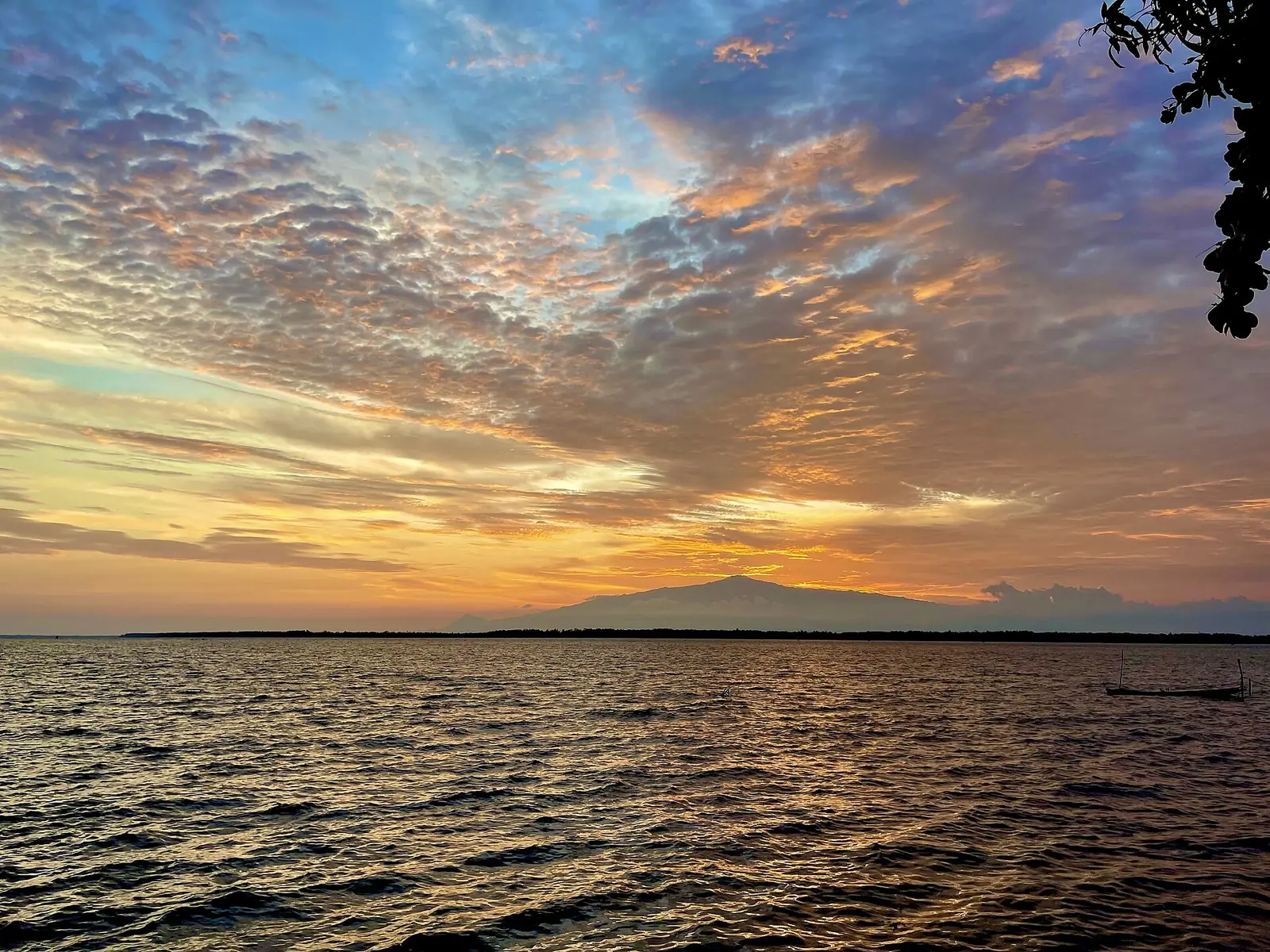
A region running from the Gulf of Guinea coast up Mount Cameroon, an active volcano, with Buea, the former German colonial capital, as its capital.
Places in this region
Listed for reference only, not as travel recommendations.
- Capital
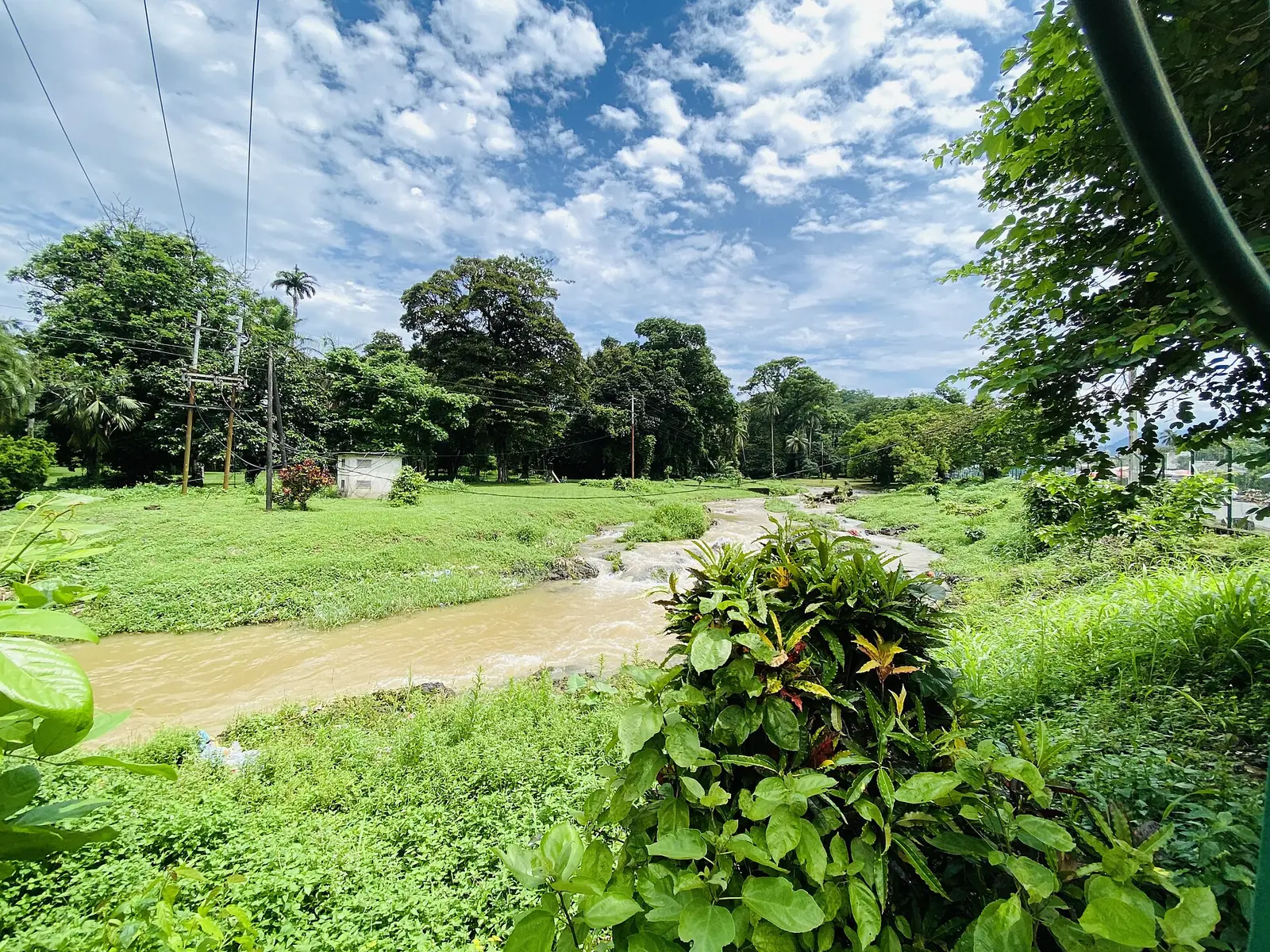
- Buea, about 870 m above sea level8
- Population
- 1,316,079 (2005 census); 2,098,500 (official projection, 1 January 2025)1
Where it is and what it's like
The Southwest Region runs along the Gulf of Guinea and borders Nigeria and the Northwest, West and Littoral regions. It has six divisions: Fako, Koupé-Manengouba, Lebialem, Manyu, Meme and Ndian. City Population gives its area as 25,410 km², which is what the divisions add up to on French Wikipedia, though that page's summary box says 24,571 km².1,3,4
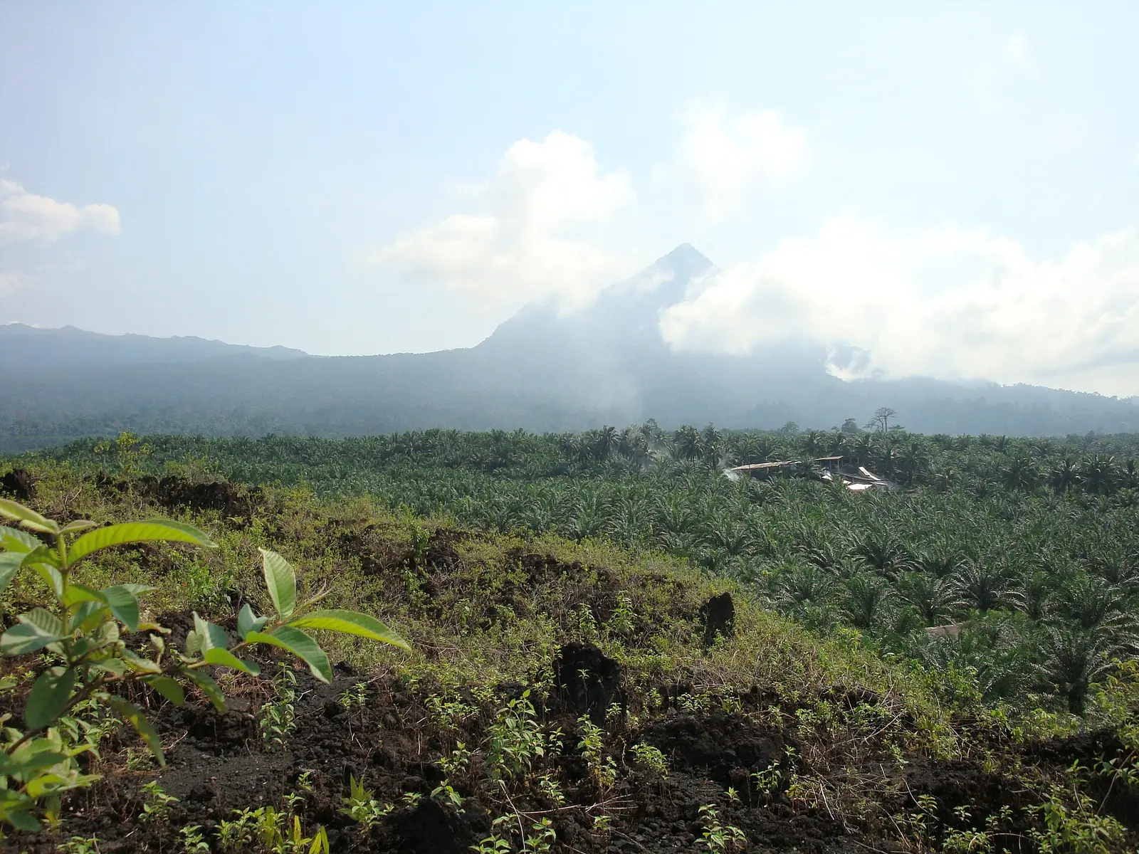
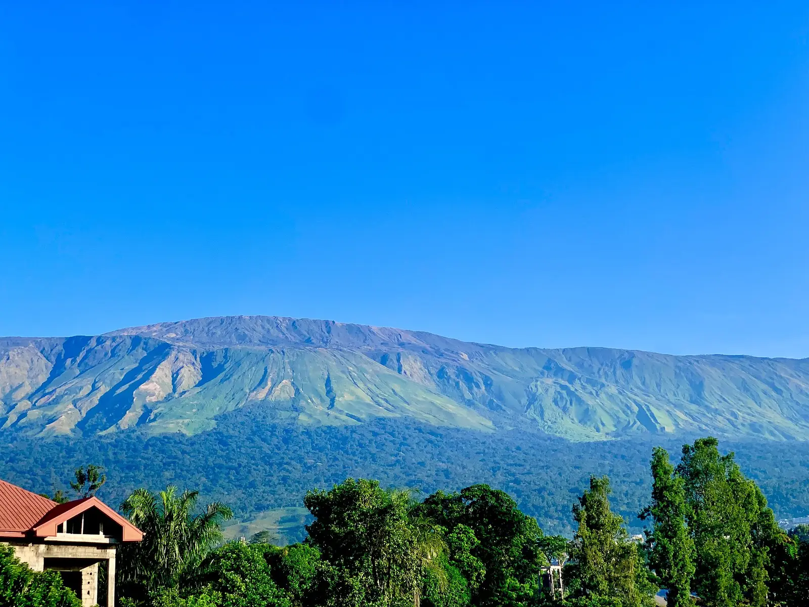
Mount Cameroon, an active volcano, dominates the coast. Its higher peak is called Fako, and the Duala name Mongo ma Ndemi means Mountain of Greatness. Its height is quoted differently: Wikipedia uses 4,040 m and reports a 2015 hand-held GPS reading of 4,045 m, the Columbia Encyclopedia gives 4,070 m, and the often-repeated 4,095 m doesn't fit satellite elevation data. Vegetation climbs from lowland rain forest to sub-alpine grassland above 3,000 m. Mount Cameroon National Park, created in 2009, covers about 581 km². Listed eruptions include 1999 and 2000, with a brief explosive event on 3 February 2012.5,6,7
Inland, the Bakossi Mountains reach 2,064 m at Mount Kupe, and Mount Manengouba rises to 2,396 m. Korup National Park, created in 1986, covers 1,260 km² on the Nigerian border.10,12,25
Rainfall varies widely over short distances. A WWF fact sheet gives heavy rain from June to October around Mount Cameroon and a drier period from November to May, with over 10,000 mm a year at Cape Debundscha and under 2,000 mm northeast of the massif. Buea has a near-temperate climate, with average highs near 21 °C and lows near 16 °C.4,5,8
Censuses counted 620,515 people in 1976, 838,042 in 1987 and 1,316,079 in 2005. Official projections, not counts, give 2,098,500 for 1 January 2025. In 2005 Buea subdivision held 131,325 people and Limbe 84,223.1,2,16
Peoples and languages
With the Northwest, this is one of Cameroon's two English-speaking regions. The Bakweri, or Kwe, live in more than 100 villages east and southeast of Mount Cameroon, with Buea as their main centre, and speak Mokpwe. The population figure we found for them, 32,200, dates from 1982. They farm cocoyams, maize, manioc, oil palms and plantains on the volcanic soil.4,9
The Bakossi live on the slopes of Mount Manengouba and Mount Kupe and speak Akoose, and they regard Mount Kupe as home to ancestral and forest spirits. The Oroko live mainly in Ndian and Meme, including most of the Rumpi Hills, and their language is a cluster of nine dialects. The Ejagham, also called Ekoi, are found mainly around Eyumojock in Manyu and extend into Nigeria. They are widely credited with creating Nsibidi signs, though the Oroko also claim them.11,12,13,14
History
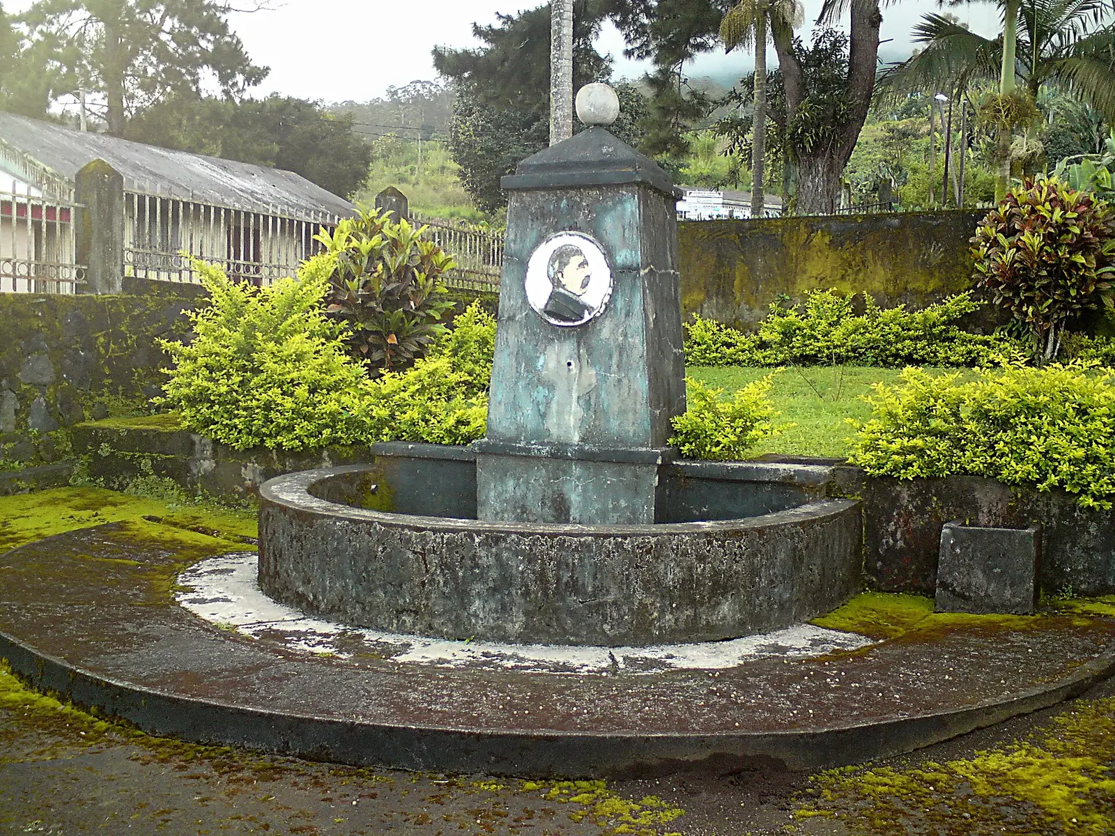
Germany's protectorate dates from 1884. In 1891 the Gbea Bakweri clan revolted after a German ban on a trial by ordeal. The revolt ended with the razing of Buea in December 1894 and the death of Chief Kuv'a Likenye. Germany moved its capital to Buea in 1901 and set up plantations on Bakweri land. Governor Jesko von Puttkamer's former residence still stands there, among other colonial buildings, some of them ageing. The 1909 eruption temporarily suspended the administration there. Limbe was called Victoria until a 1982 decree renamed it.8,9,16
France and Britain partitioned Kamerun in 1916, and from 1919 Britain alone administered this area. Buea was the capital of Southern Cameroons from 1949 to 1961, and E. M. L. Endeley, a Bakweri, was its first Prime Minister, from 1954 to 1959. After the plebiscite of 11 February 1961 the territory became West Cameroon on 1 October 1961, with Buea as its capital until the federation ended in 1972.4,8,9,15
The Cameroon Development Corporation, formed in 1947 with general offices at Bota in Limbe, manages lands that German plantations once used. The Bakweri Land Claims Committee and the government have an ongoing dispute over those lands. Limbe also has the SONARA oil refinery.9,16,17
What the region is known for
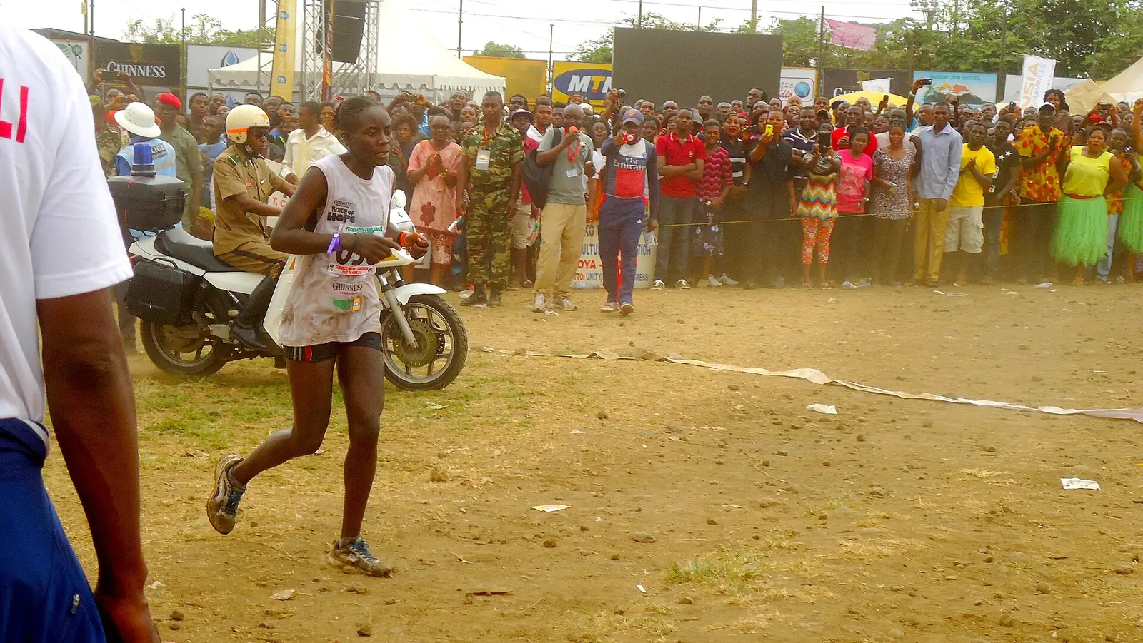
The Mount Cameroon Race of Hope is a yearly footrace from Buea up the mountain and back; the 31st edition took place on 21 February 2026. Sources differ on its length (38 km or 42 km) and its first year (1973 or 1995). Mount Etinde, or Little Mount Cameroon, is a 1,713 m peak on the southern flank. Idenau, a town with a small harbour, lies west of the mountain.20,21,22,23
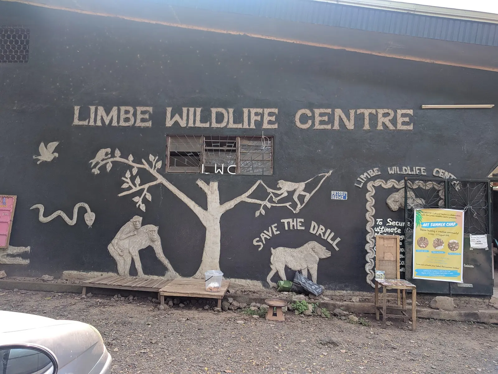
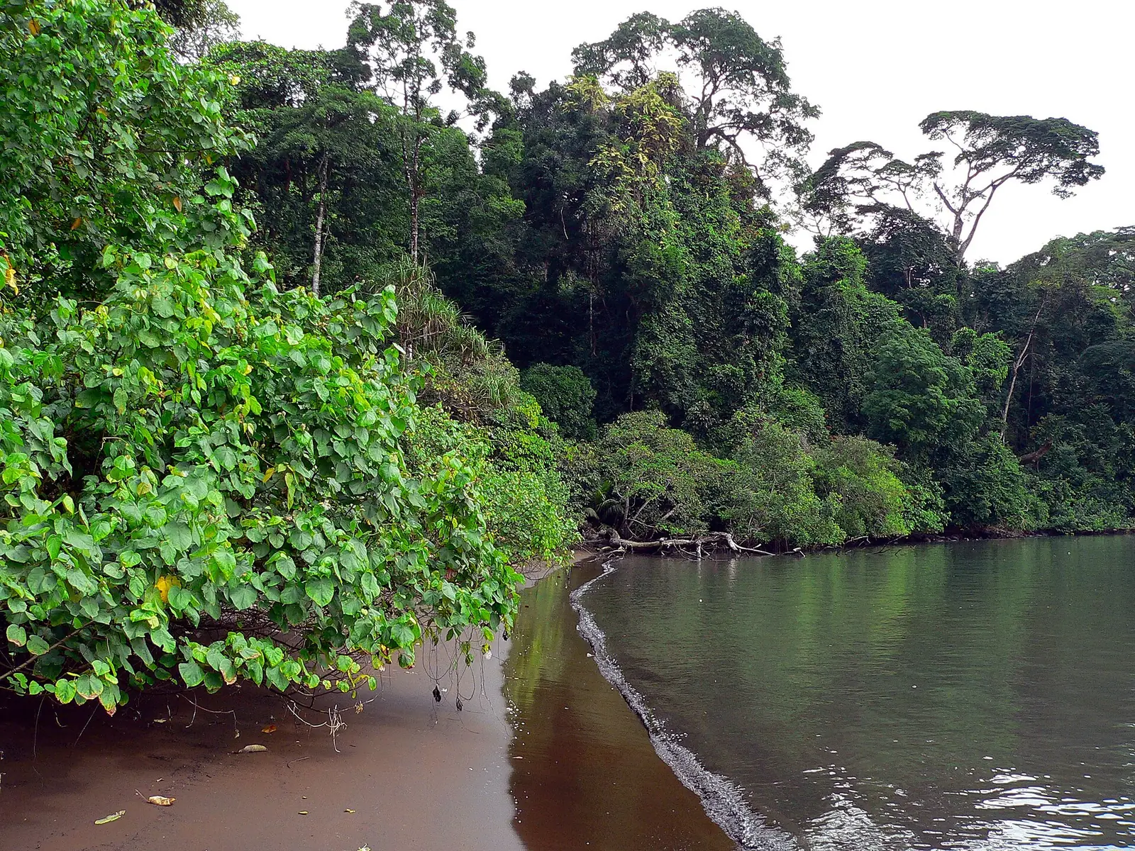
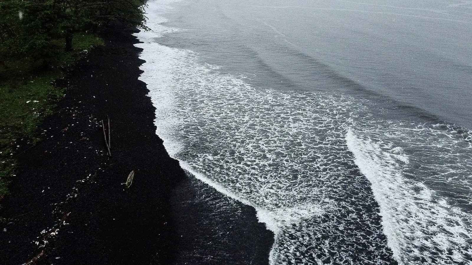
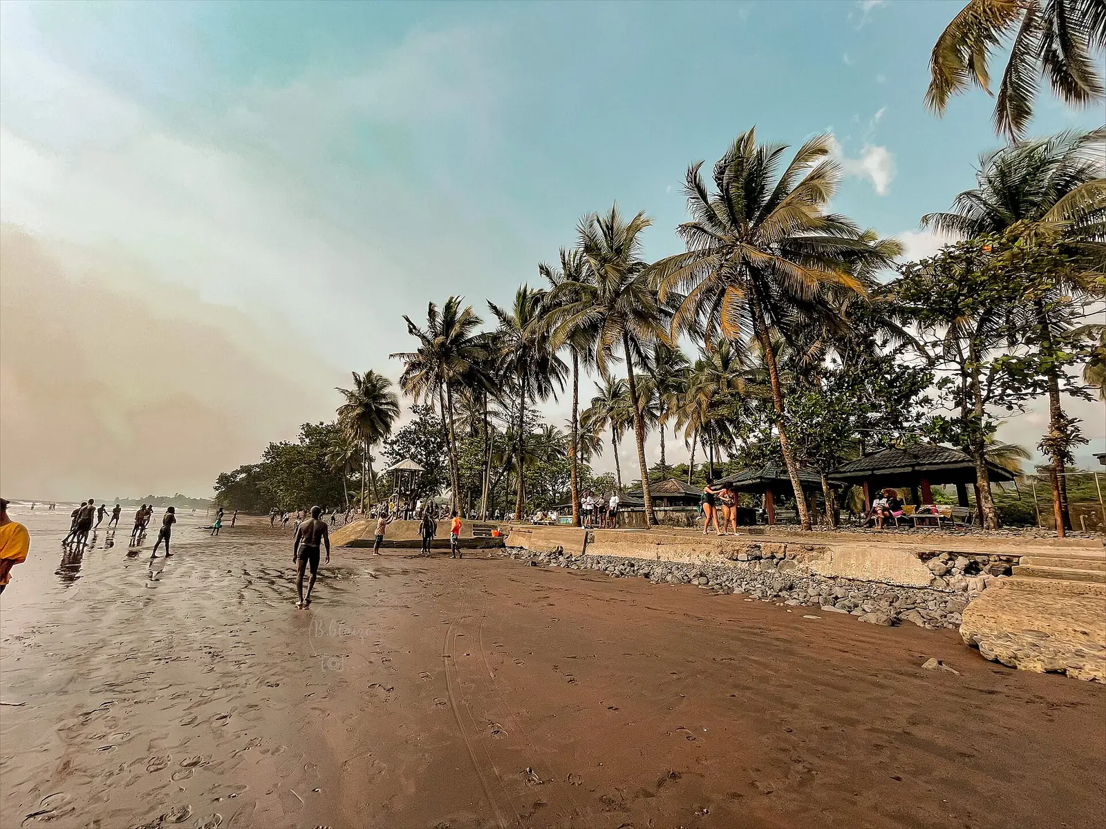
Limbe is known for its black or dark sand beaches. Limbe Botanic Garden was created in 1892 under Paul Rudolph Preuss to test tropical crops, has shrunk from 250 hectares to no more than 48, and holds about 1,500 plant taxa. Limbe Wildlife Centre began in 1993 as a partnership between the government and the Pandrillus Foundation, on the site of the old Victoria Zoo, and cares for western lowland gorillas, chimpanzees and drills, among others.16,18,19
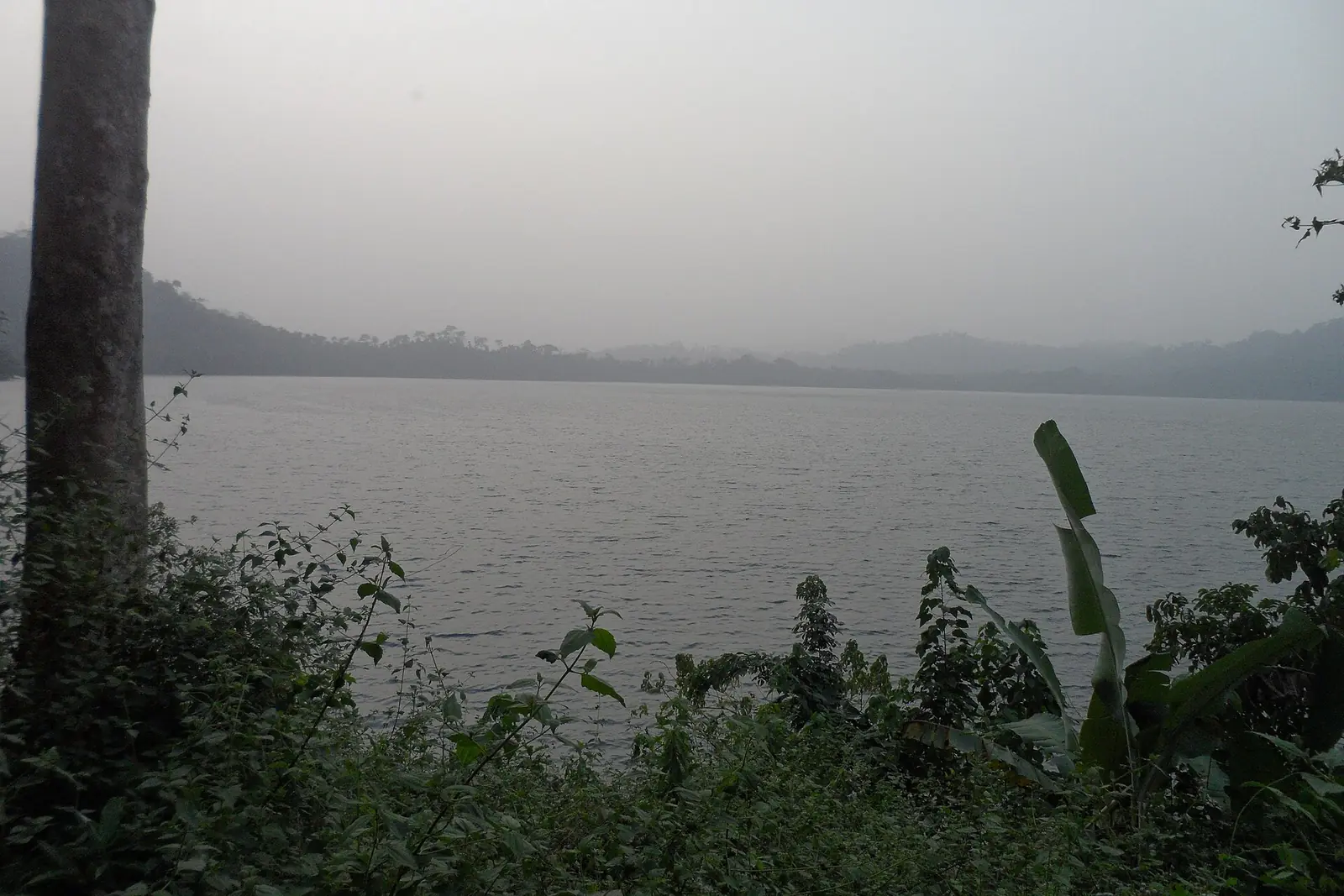
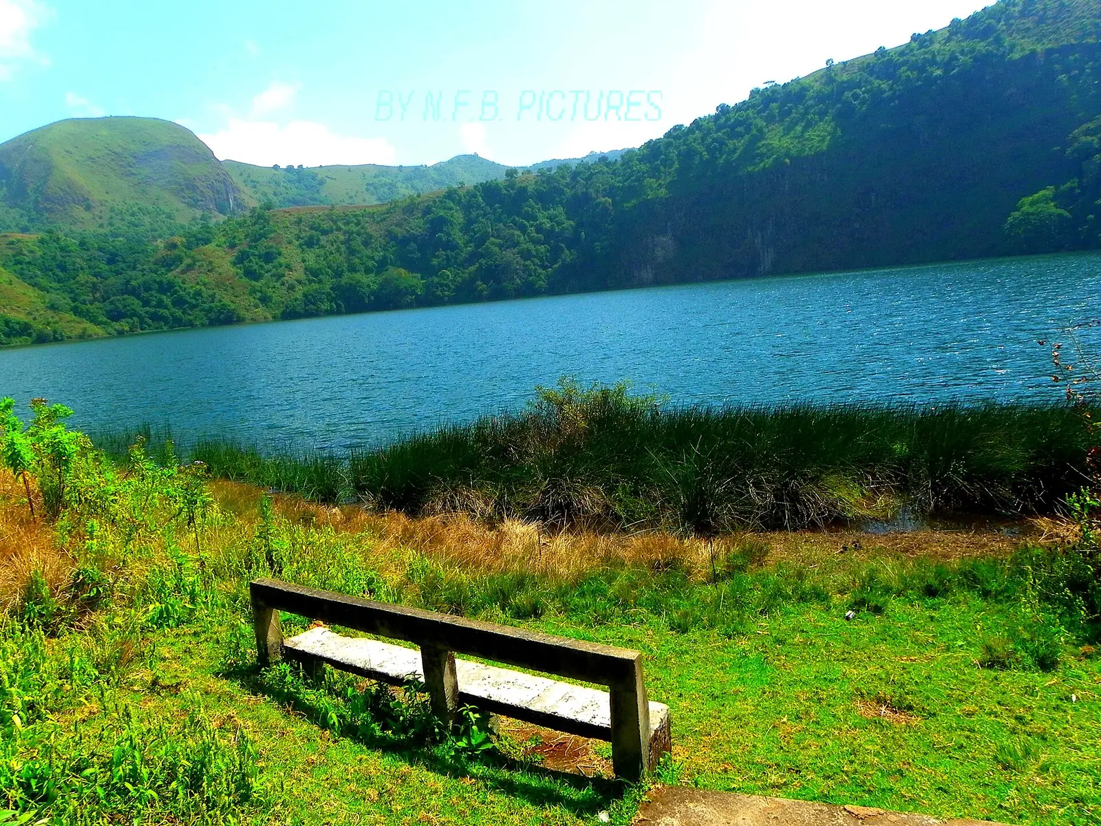
Lake Barombi Mbo, near Kumba, is a crater lake up to 2.15 km across and 111 m deep, listed as a Ramsar wetland in 2006. Of its 15 recorded fish species, 11 cichlids and one catfish are described as endemic. The Manengouba Twin Lakes are crater lakes about 10 km uphill from Bangem, the two believed to be one female and one male.24,26
Food, crafts and festivals
Dishes listed for the region include eru with water fufu, grilled fish and chicken, jollof rice, ndolè with plantains and bobolo, koki and snails with rice. Bakweri crafts include woven hats and shirts and furniture. Societies such as the Maalé, with its elephant dance, are part of Bakweri life. Music and dance are central to December festivals; the Ngondo, the Duala festival, is open to coastal Sawa peoples, who include the Bakweri.4,9
In pictures
Map
Still to confirm
Our sources can't yet confirm these points:
- The region's exact area: 25,410 km² or 24,571 km²
- A current population count: the latest census we found is from 2005, and later figures are projections
- An up-to-date Bakweri population: the figure we found is from 1982
- Mount Cameroon's surveyed height
- The Race of Hope's official distance and first year
- Festival dates for a given year: no source we read gives them
Sources for this page
Information checked on 6 November 2026. It may have changed since.
- Cameroon: Regions, Major Cities & Towns, City Population (figures from BUCREP and the Institut National de la Statistique, Cameroon) (undated)
- Cameroon: Administrative Division, City Population (figures from BUCREP and the Institut National de la Statistique, Cameroon) (undated)
- Région du Sud-Ouest (Cameroun), Wikipédia (undated)
- Southwest Region (Cameroon), Wikipedia (undated)
- Fact sheet: Mount Cameroon National Park, WWF (28 January 2010)
- Mount Cameroon, Wikipedia (undated)
- Cameroon, Mount, The Columbia Encyclopedia, 6th edition, on Encyclopedia.com (undated)
- Buea, Wikipedia (undated)
- Kwe people, Wikipedia (undated)
- Korup National Park, Wikipedia (undated)
- Bakossi people, Wikipedia (undated)
- Mount Kupe, Wikipedia (undated)
- Oroko people, Wikipedia (undated)
- Ekoi people, Wikipedia (undated)
- British Cameroons, Wikipedia (undated)
- Limbé, Cameroon, Wikipedia (undated)
- Cameroon Development Corporation, Wikipedia (undated)
- Limbe Botanic Garden, Wikipedia (undated)
- Our history, Limbe Wildlife Centre (31 August 2023)
- Mount Cameroon Race of Hope, Wikipedia (undated)
- 31st edition of the Mount Cameroon Race of Hope brings runners and mountain communities together, Mountain Partnership, FAO (24 February 2026)
- Idenau, Wikipedia (undated)
- Little Mount Cameroon, Wikipedia (undated)
- Lake Barombi Mbo, Wikipedia (undated)
- Mount Manengouba, Wikipedia (undated)
- Bangem, Wikipedia (undated)