- Status
- Ramsar site no. 1643, designated 8 October 20062
- Fish found nowhere else
- 12 species: 11 cichlids and one catfish1
What it is
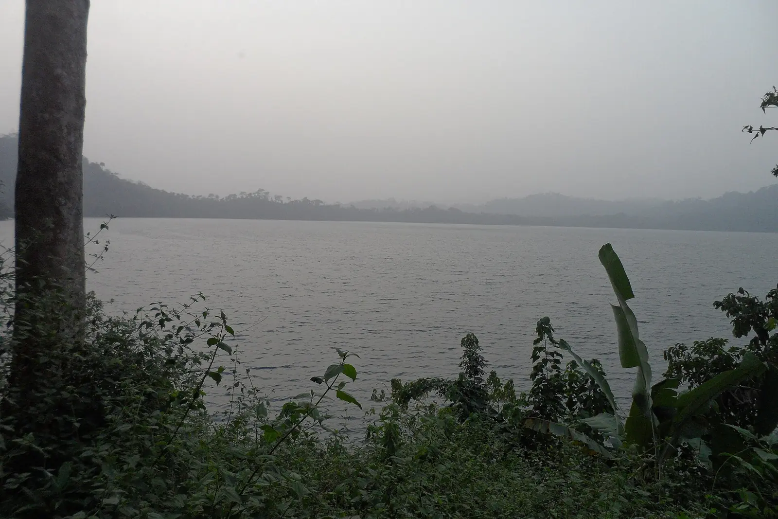
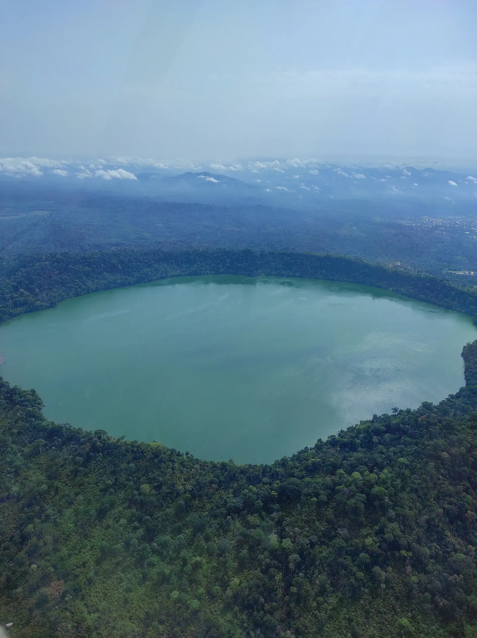
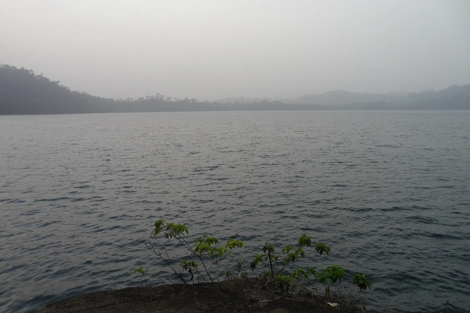
Barombi Mbo is a volcanic crater lake directly beside the Station neighbourhood of Kumba, in Meme Division of the Southwest Region. The basin formed in an explosion about a million years ago, a date that matches the most recent lava flow into the lake. Steep walls rise to the north, east and south, to more than 400 m above sea level, while the surface lies at about 300 m. Streams enter from a shallow second crater to the west, and a single outlet, the Kaké, runs through a gorge towards the Mungo River.1,3
Sources differ on its size: the Ramsar sheet gives 415 ha, the Freshwater Ecoregions of the World about 5 km², and Wikipedia also reports 7 km². The deep water holds no detectable oxygen below about 40 m.1,3,7
Why it matters to science
Of the 15 fish species recorded in the lake, 12 live nowhere else: 11 cichlids and the catfish Clarias maclareni. The Ramsar sheet adds three more species in the inflowing stream. The cichlids have divided up the lake: Konia dikume feeds in low-oxygen deep water, Konia eisentrauti steals eggs from other cichlids, and Pungu maclareni eats mainly sponges and invertebrates. All 11 brood their young in the mouth. One sponge, Corvospongilla thysi, is also endemic. A 2017 Rufford Foundation project page lists the endemic cichlids as Critically Endangered on that year's IUCN Red List.1,3,5
The lake became a textbook case of sympatric speciation, in which new species arise without geographic separation, and the 2006 Ramsar sheet presents it that way. A 2015 genomic study in the journal Evolution complicates the picture. It found gene flow between the crater lake radiations and nearby river populations after colonisation. It does not rule out sympatric speciation, but describes a history with both separated and shared phases.1,4
The Barombi people and the lake
The lake is a sacred site for the Barombi, whose social life is tied to it through fishing, mythology and transport. The Ramsar sheet records Barombi names for points along the shore and for most of the lake's animals, and reports that fishing rights belong to Barombi people, under traditional rules, with rites performed when catches are poor. The Barombi also know a recurring event called Nkum, every seven to fifteen years, when the water turns from turquoise to brown and fish die. One occurred in the rainy season of 2001; its exact cause is unknown.1
Water and pressures
In 2006 the lake was the main source of piped drinking water for Kumba. The sheet listed as pressures gill-net fishing of unassessed sustainability, tree cutting and burning inside the crater rim, pesticide spraying on cocoa, and the risk of foreign fish, and it recorded no approved management plan. The lake lies within a forest reserve, given as 8.5 km² by the IUCN's APES Atlas, where chimpanzee calls were recorded in a 2004 survey.1,6
In pictures
Map
Still to confirm
Our sources can't yet confirm these points:
- The lake's surface area: 415 ha, 5 km² and 7 km² are all published.
- The current IUCN status of each endemic species: the Red List pages could not be opened.
- Whether the lake still supplies Kumba's piped water; the statement dates from 2006.
- Whether a management plan now exists.
- An ethnographic source on Barombi customs beyond the Ramsar sheet.
Sources for this page
Information checked on 6 November 2026. It may have changed since.
- Information Sheet on Ramsar Wetlands: Barombi Mbo Crater Lake (compiled by U. Schliewen and T. Tanjong), Ramsar Convention (10 May 2006)
- Annotated List of Wetlands of International Importance: Cameroon, Ramsar Convention (undated)
- Western Equatorial Crater Lakes, Freshwater Ecoregions of the World (undated)
- Complex histories of repeated gene flow in Cameroon crater lake cichlids cast doubt on one of the clearest examples of sympatric speciation (Martin et al., abstract read through OpenAlex; DOI 10.1111/evo.12674), Evolution (2015)
- Influence of seasonal variation on endemic fish populations of Barombi Mbo crater lake (project page, D. Mieguim Ngninpogni), The Rufford Foundation (22 August 2017)
- Lake Barombi Mbo Forest Reserve, IUCN SSC APES Atlas (Created 2022-02-28; edited 2026-10-15)
- Lake Barombi Mbo, Wikipedia (undated)
Southwest Region
Capital: Buea
A region running from the Gulf of Guinea coast up Mount Cameroon, an active volcano, with Buea, the former German colonial capital, as its capital.
More places in the Southwest Region
Mount Cameroon
An active volcano rising from the Atlantic shore to the highest point of western and central Africa, with forests, grasslands and wildlife found nowhere else.
Limbe Botanic Garden
Founded in 1892 as a colonial trial garden between the ocean and Mount Cameroon, it now keeps about 1,500 kinds of plants and a herbarium of some 30,000 specimens.
Limbe Wildlife Centre
Set up in 1993 in the old Victoria Zoo, this sanctuary cares for gorillas, chimpanzees and drills rescued from the bushmeat and pet trades.
Black Sand Beaches of Limbe
Beaches of dark sand on the Atlantic at Limbe, formed mainly from the basalts of the Cameroon Volcanic Line, with Mount Cameroon behind the town.