Cameroon's economic centre, around the port city of Douala and the Wouri Estuary, with Sawa and Bassa heritage, the Ngondo festival and the Sanaga River at Edéa.
Places to visit
Where it is and what it's like
The Littoral lies on the Gulf of Guinea, bordered by the Southwest, West, Centre and South regions. Cameroon's statistics institute gave its area as 20,248 km² in 2010, about 4.4% of the country. English Wikipedia's infobox says 36,452 km², which doesn't fit that figure or the department areas, so we don't use it.1,3,4,18
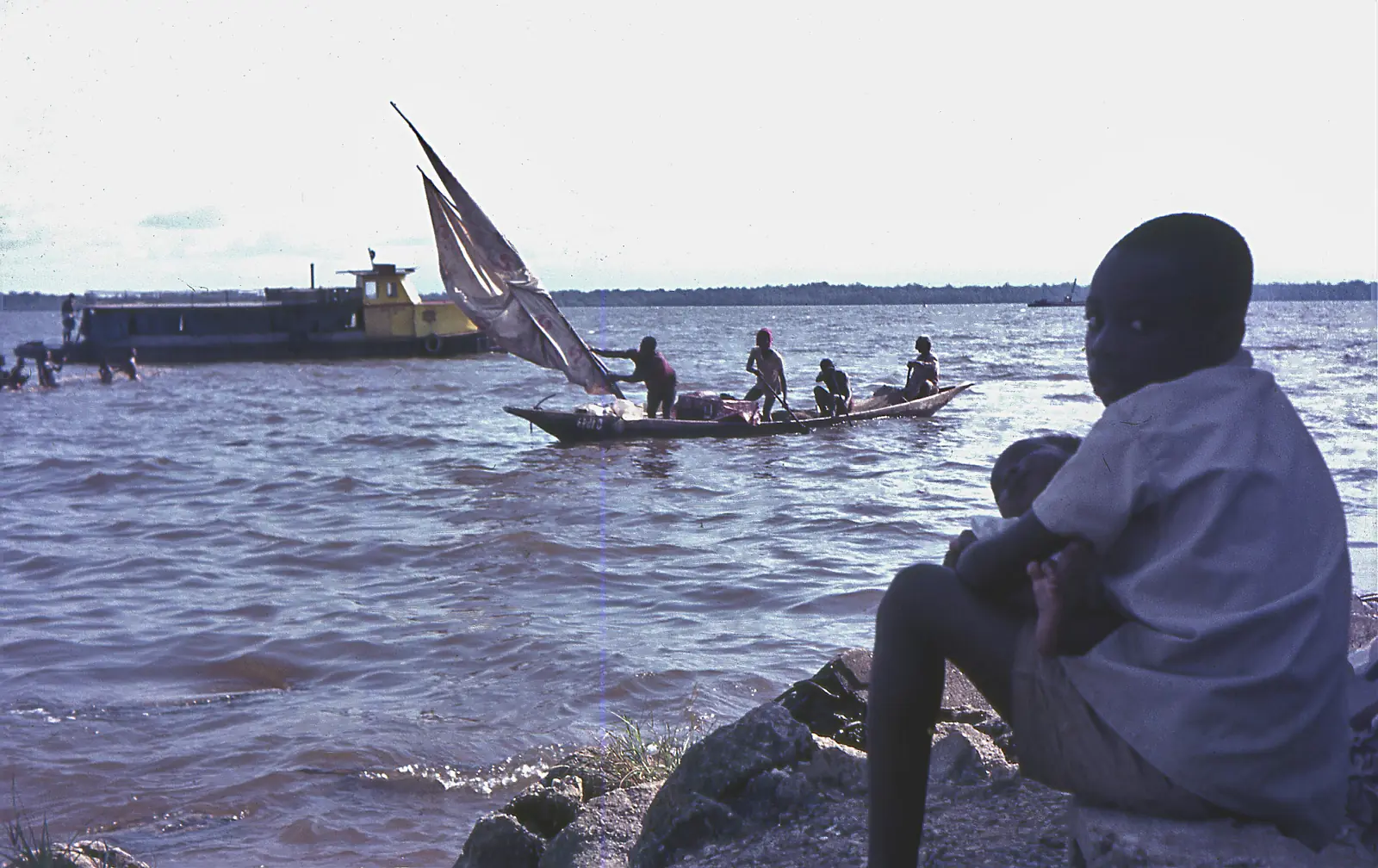
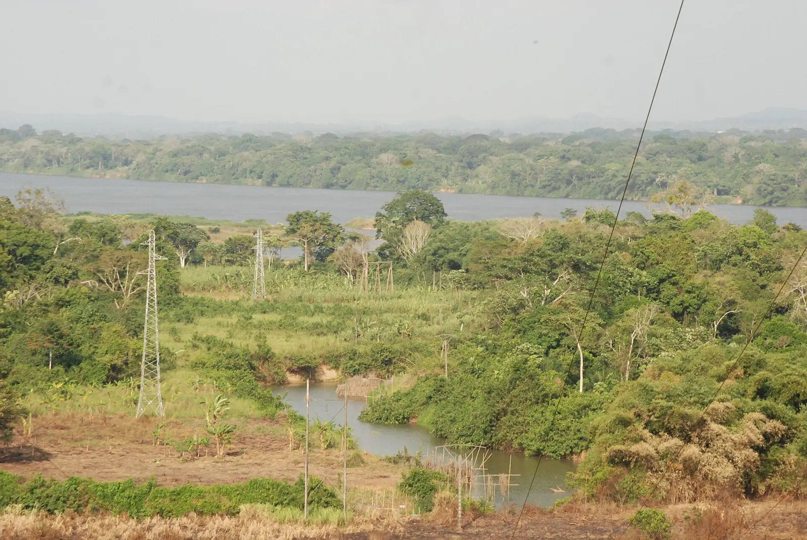
A coastal plain gives way to plateaux and hills, then to high ground in the north that continues the West Region's volcanic range, with Mount Manengouba, Mount Koupé and Mount Nlonako in Moungo. The main rivers are the Moungo, Wouri, Dibamba, Sanaga and Nyong, broken by falls and rapids. The Wouri estuary holds about 188,000 hectares of mangrove, shrinking through logging and urban growth.1,7,18
The climate is wet and humid, with humidity around 85% in the rainy season. Figures for Douala show about 3,604 mm of rain a year: about 30 to 36 mm in December and January, rising to about 680 to 690 mm in each of July and August. The average temperature there is 27 °C.1,5
Peoples and traditional institutions
The 2005 census counted 2,510,263 people, 1,931,977 of them in Wouri, the department around Douala. National statisticians estimated 2,865,795 for January 2010, and a later figure for 2015 is 3,354,978. The Bassa'a and the Duala are the main indigenous peoples.1,2,3
The Duala, also called Sawa, are a Bantu people centred on the Wouri estuary. Their oral traditions trace them to an ancestor, Mbedi, whose son Ewale moved north to the estuary. They later pushed the Bakoko and Bassa inland, probably in the late 17th or early 18th century. The Bassa speak Basaá around Édéa, Éséka and Douala, and trace their origins to Ngog Lituba, the pierced rock.8,17
Traditional chiefs still preside over some groups and villages, though one source notes that many hold little power today. The Sawa traditional assembly began as a customary court and, from 1900, defended the community's interests.4,14
History
Portuguese sailors reached the estuary around 1472 and named it Rio dos Camarões, the river of prawns, which gave Cameroon its name. A town existed by 1650, and it became a centre of the Atlantic slave trade in the 18th century. In July 1884 Gustav Nachtigal signed treaties with Kings Akwa, Bell and Deido. The Germans governed from here until they moved their capital to Buea, in 1901 or 1902 depending on the source.5,6,8
King Rudolf Duala Manga Bell opposed a German plan, begun in 1910, to move the Duala away from the river. He was hanged for high treason on 8 August 1914. After the First World War France took over under a mandate, and Douala served as the capital again from 1940 to 1946.5,9,10
What the region is known for
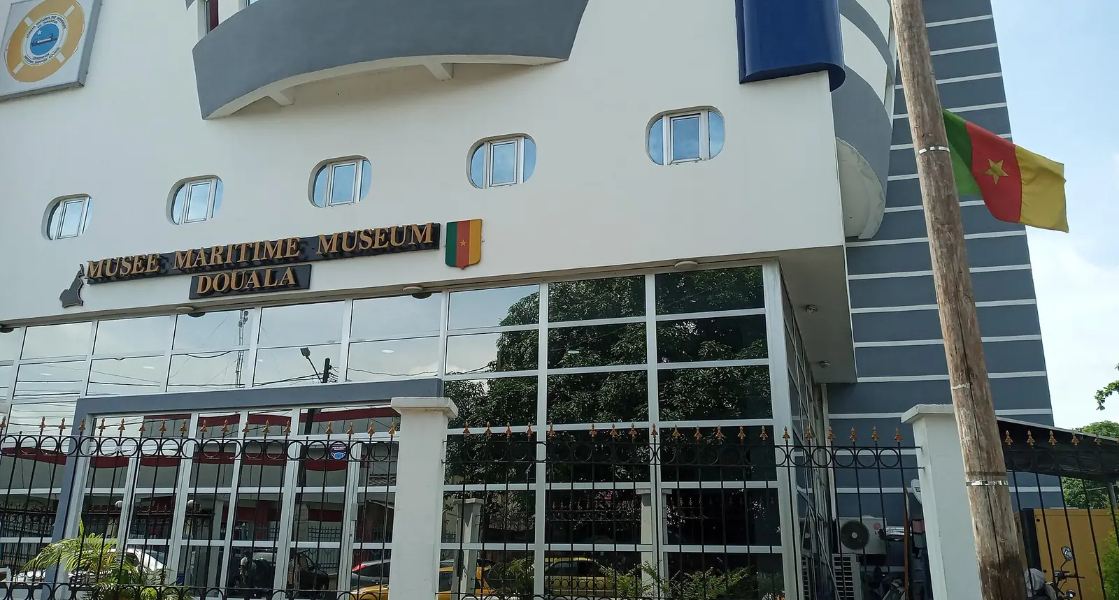
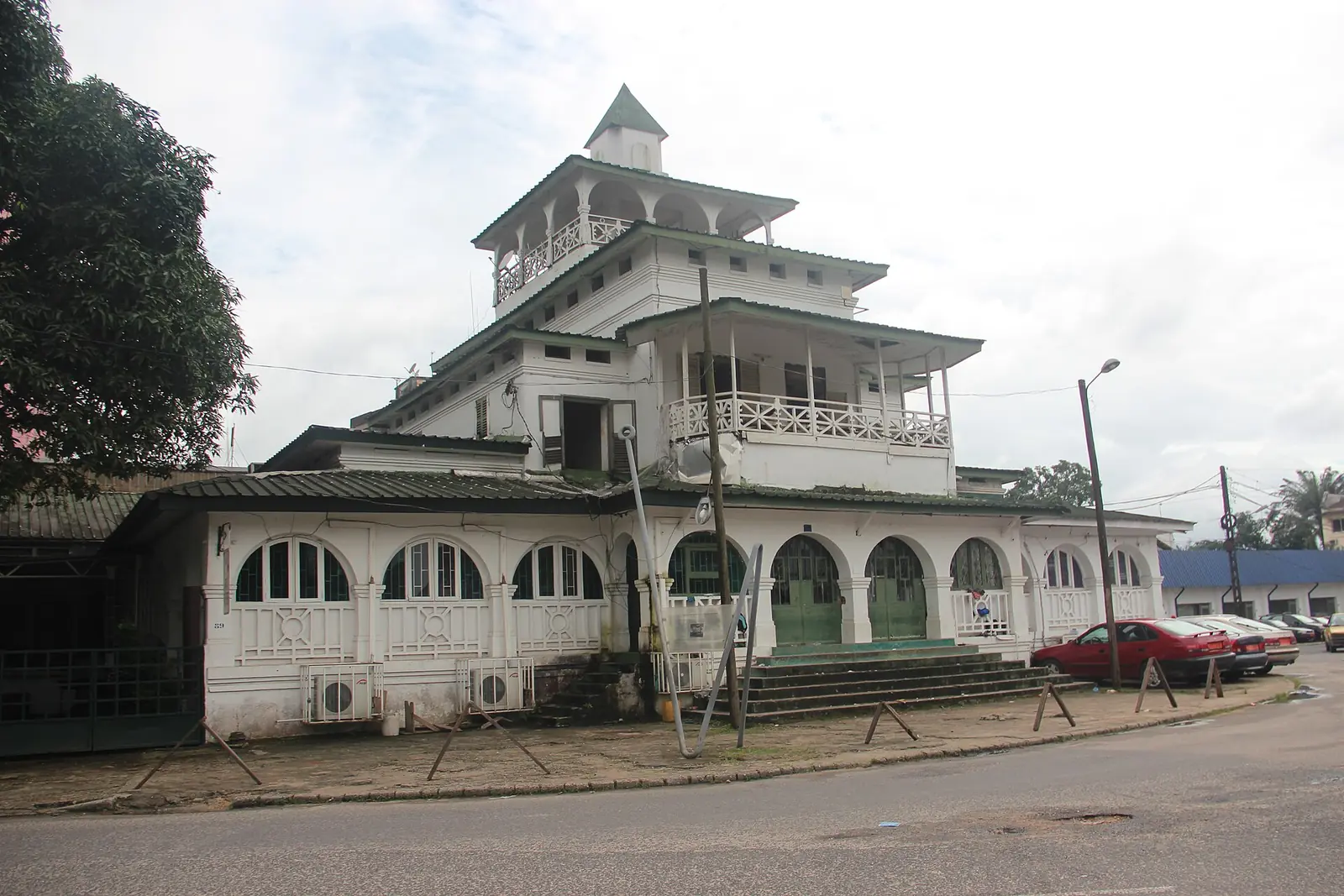
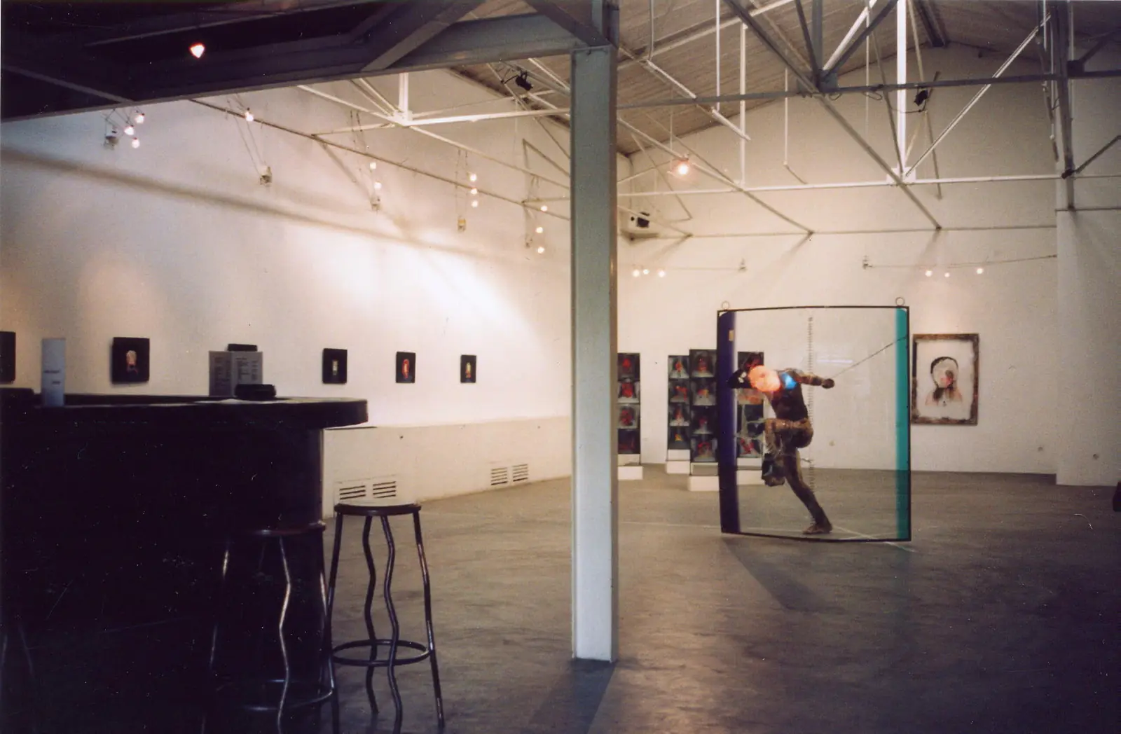
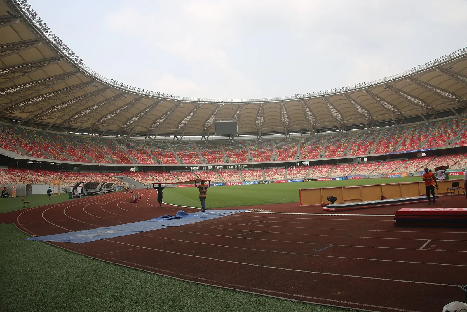
Douala is the economic centre, though Kribi's port is replacing its own. The city has the Douala Maritime Museum, La Pagode (the Bell family's palace of 1905), the doual'art contemporary art centre (founded 1991) and the Japoma Sports Complex, with a stadium of about 50,000 seats opened in December 2020.5,10,23,24,27
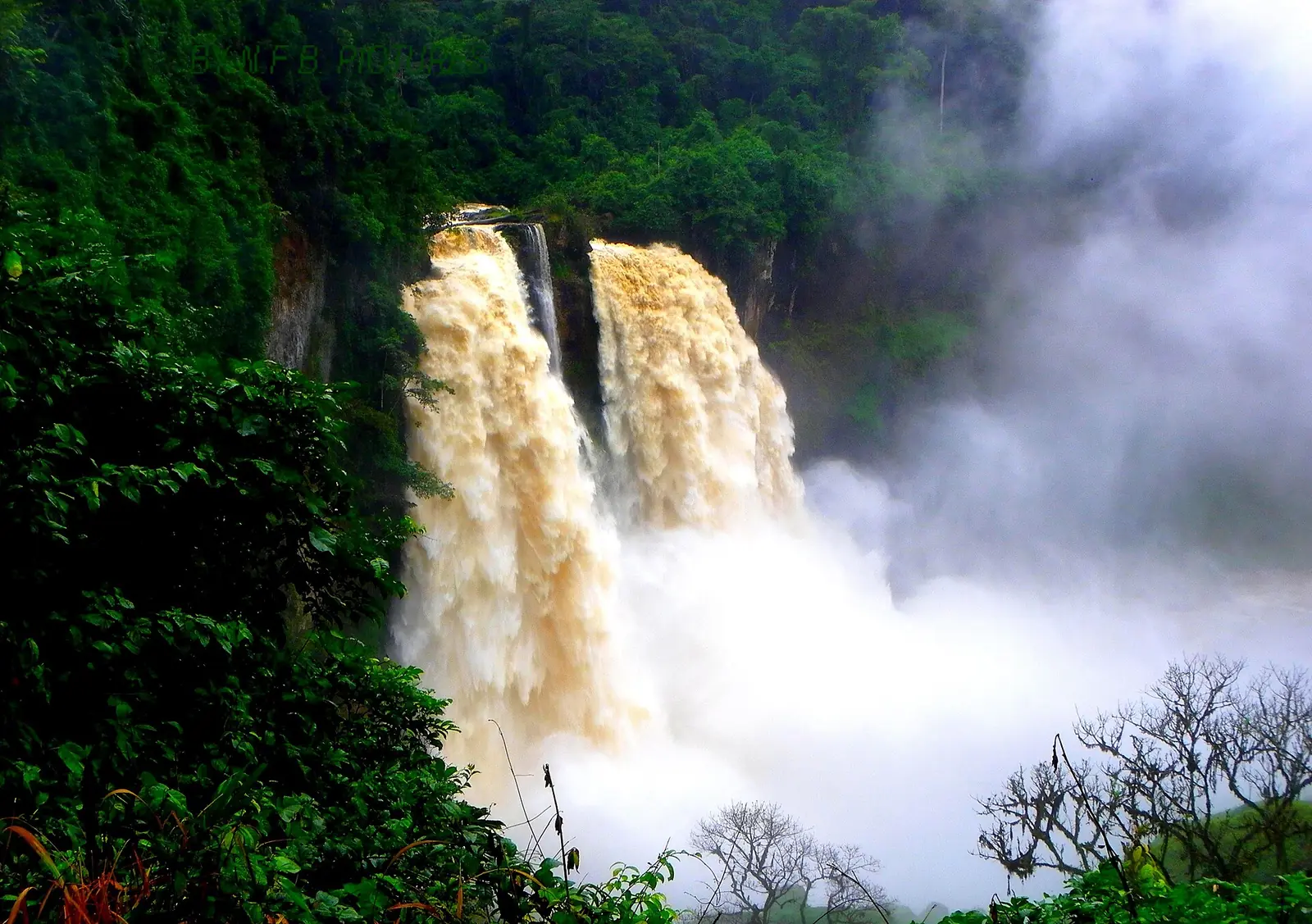
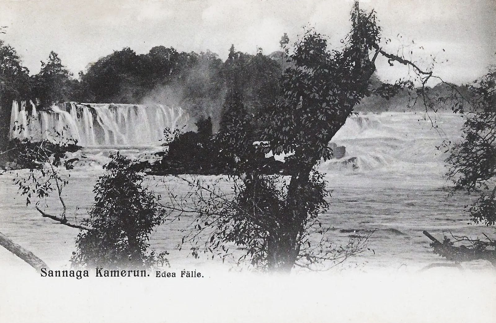
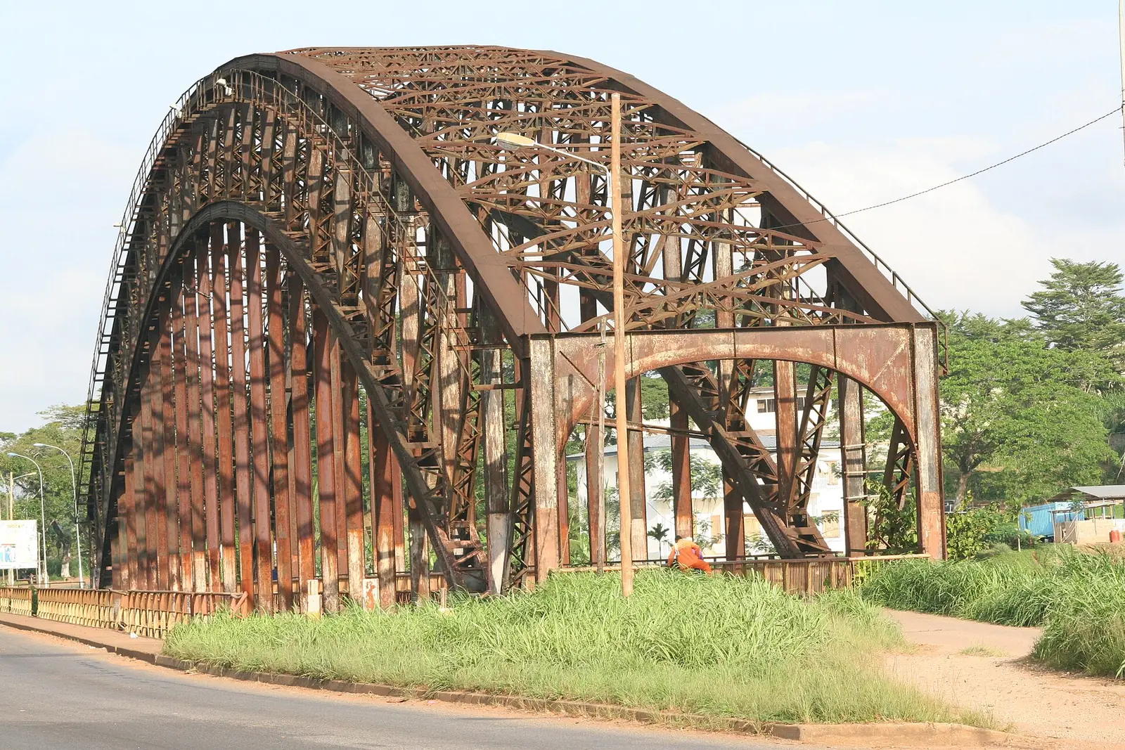
Beyond the city are the Wouri Estuary, the 80 m Ekom-Nkam Waterfalls near Melong, where Greystoke (1984) was filmed, and Douala-Edéa National Park at the mouth of the Sanaga, a reserve since 1932 and a national park since 2018, with a listed area of 2,715 km². Edéa, on the Sanaga, has Edéa Falls, a hydroelectric station from 1953 and the Japoma Bridge, shipped from Germany in 1911 and now a footpath and cycle track.7,19,20,21,22,25
The 2010 statistics report places export bananas at Penja in Moungo, oil palm in Sanaga-Maritime, and robusta coffee and cocoa in Moungo and Nkam.1
Food, dress and festivals
The region's dishes include ndolé, bobolo and groundnut soup. Sawa dress includes the sanja and the Kaba Ngondo, and Assiko is among the dances performed at festivals.4
UNESCO added Ngondo, the Sawa worship of water oracles, to its Representative List in 2024. It describes activities from September to the first Sunday of December, when a priest dives from a sacred canoe in the Wouri with a vase of the community's wishes and brings back a message. A caravan, wrestling and a crafts fair go with it. Another source has the festival running through November. It was first held in 1949, and one source says it was banned in 1981 and reinstated in 1991.11,12,13,14
The Mbog Liaa festival of the Bassa, Mpoo and Bati, founded at Pouma in 1999, moves between places every few years. Its fifth edition was in Douala in 2016, and the sixth was announced for Pouma from 22 to 30 November 2024.15,16
Getting there and around
Douala International Airport is the country's main international airport and Camair-Co's hub, with direct flights to Paris, Brussels and Istanbul. An undated guide adds that major airlines don't fly daily, so check schedules.5,27
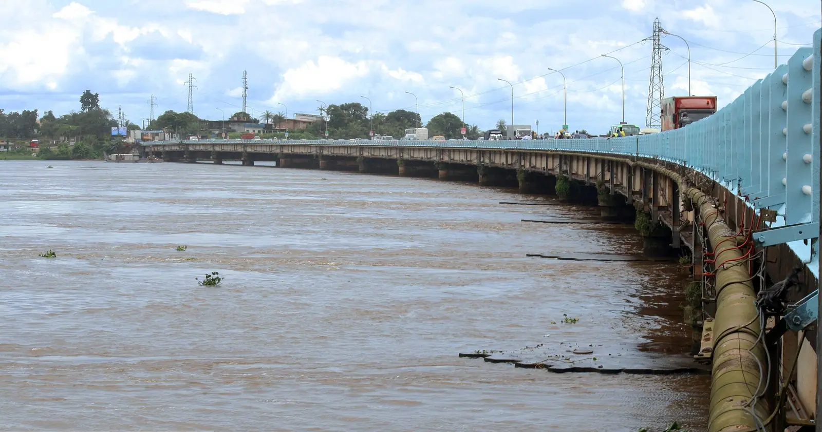
The northern railway from Bonabéri to Nkongsamba dates from 1906 to 1911, and the central line reached Yaoundé by 1927. A 1,850 m bridge over the Wouri joined them in 1955. An undated guide lists several daily trains from Yaoundé, taking 3 hours 45 minutes, and a twice-weekly service from Kumba. We couldn't confirm current timetables or any passenger trains to Nkongsamba.26,27
By road, the N3 links Yaoundé and Limbe, the N5 links Bafoussam and Douala, and the N7 runs from Edéa to Kribi. A second bridge over the Wouri was partly opened on 31 May 2018.20,27,28
In pictures
Map
Still to confirm
Our sources can't yet confirm these points:
- An official current population figure for the region
- The exact legal area of Douala-Edéa National Park
- Current train timetables and fares, and whether passenger trains run to Nkongsamba
- Current airline routes and any airport departure tax
- The date of the next Ngondo and Mbog Liaa festivals, and whether the sixth Mbog Liaa took place as announced
- The opening hours and current fee of the Douala Maritime Museum
- How much authority traditional chiefs hold today, from a dedicated source
Sources for this page
Information checked on 6 November 2026. It may have changed since.
- Rapport régional de progrès des Objectifs du Millénaire pour le Développement : région du Littoral, Institut national de la statistique du Cameroun, with UNDP support (2010)
- Cameroon: administrative division (census figures from BUCREP and INS; 2005 department totals added up by us), City Population (undated)
- Région du Littoral (Cameroun), Wikipédia (2 November 2026)
- Littoral Region (Cameroon), Wikipedia (undated)
- Douala, Wikipedia (9 October 2026)
- Wouri River, Wikipedia (7 August 2026)
- Wouri estuary, Wikipedia (24 October 2026)
- Duala people, Wikipedia (2 October 2026)
- Rudolf Duala Manga Bell, Wikipedia (11 June 2026)
- Palace of King Bell, Wikipedia (25 August 2026)
- Ngondo, worship of water oracles and associated cultural traditions among the Sawa, UNESCO Intangible Cultural Heritage (2024)
- Cameroon's Ngondo Festival marks 1st anniversary as UNESCO intangible cultural heritage, Xinhua, via The Star (10 December 2025)
- Ngondo, Wikipedia (7 September 2026)
- The Ngondo: traditional and ritual festival of the Cameroonian coastal peoples, Agenda 21 for Culture, United Cities and Local Governments (undated)
- Festival Mbog Liaa 2024 : la 6e édition se prépare, Cameroon Tribune (17 May 2024)
- Festival Mbog Li a'a, Wikipedia (undated)
- Bassa people (Cameroon), Wikipedia (19 April 2026)
- Moungo (department), Wikipedia (undated)
- Chutes d'Ekom, Wikipédia (16 October 2026)
- Edéa, Wikipedia (19 October 2026)
- Edea Hydroelectric Power Station, Wikipedia (29 December 2025)
- Japoma Bridge, Wikipedia (4 June 2025)
- Japoma Stadium, Wikipedia (25 October 2026)
- Doual'art, Wikipedia (10 July 2026)
- Douala Edéa National Park, Wikipedia (22 February 2026)
- History of rail transport in Cameroon, Wikipedia (2 November 2026)
- Douala, Wikivoyage (undated)
- Cameroon: the second bridge on the Wouri partially commissioned, Business in Cameroon (8 June 2018)