Where three rivers meet the sea
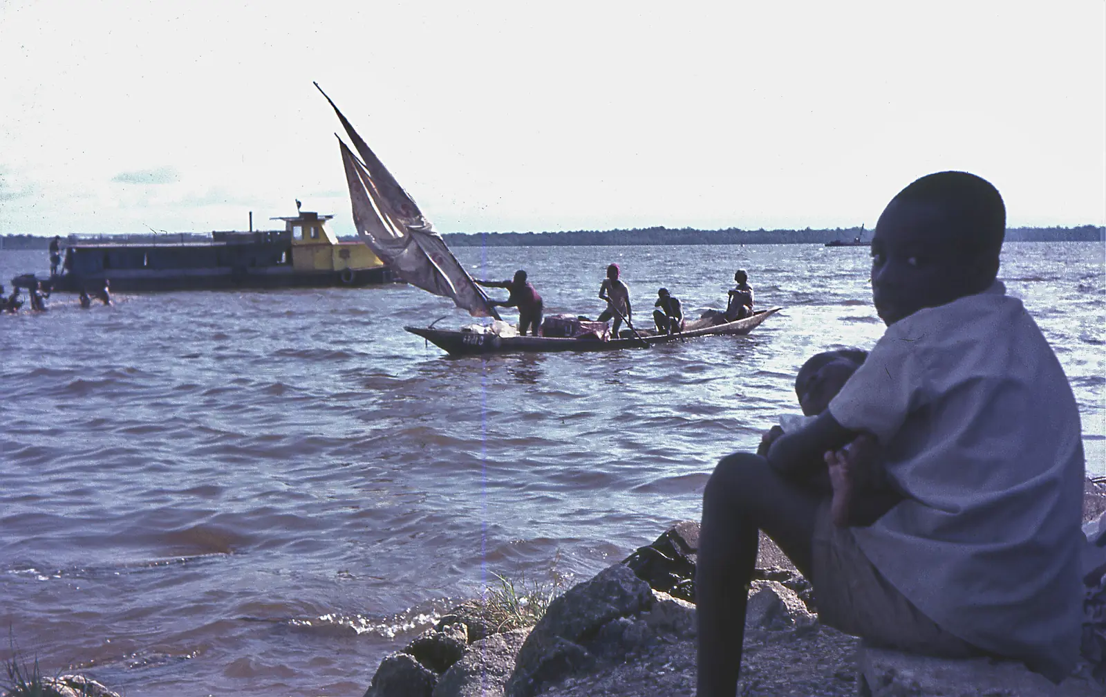
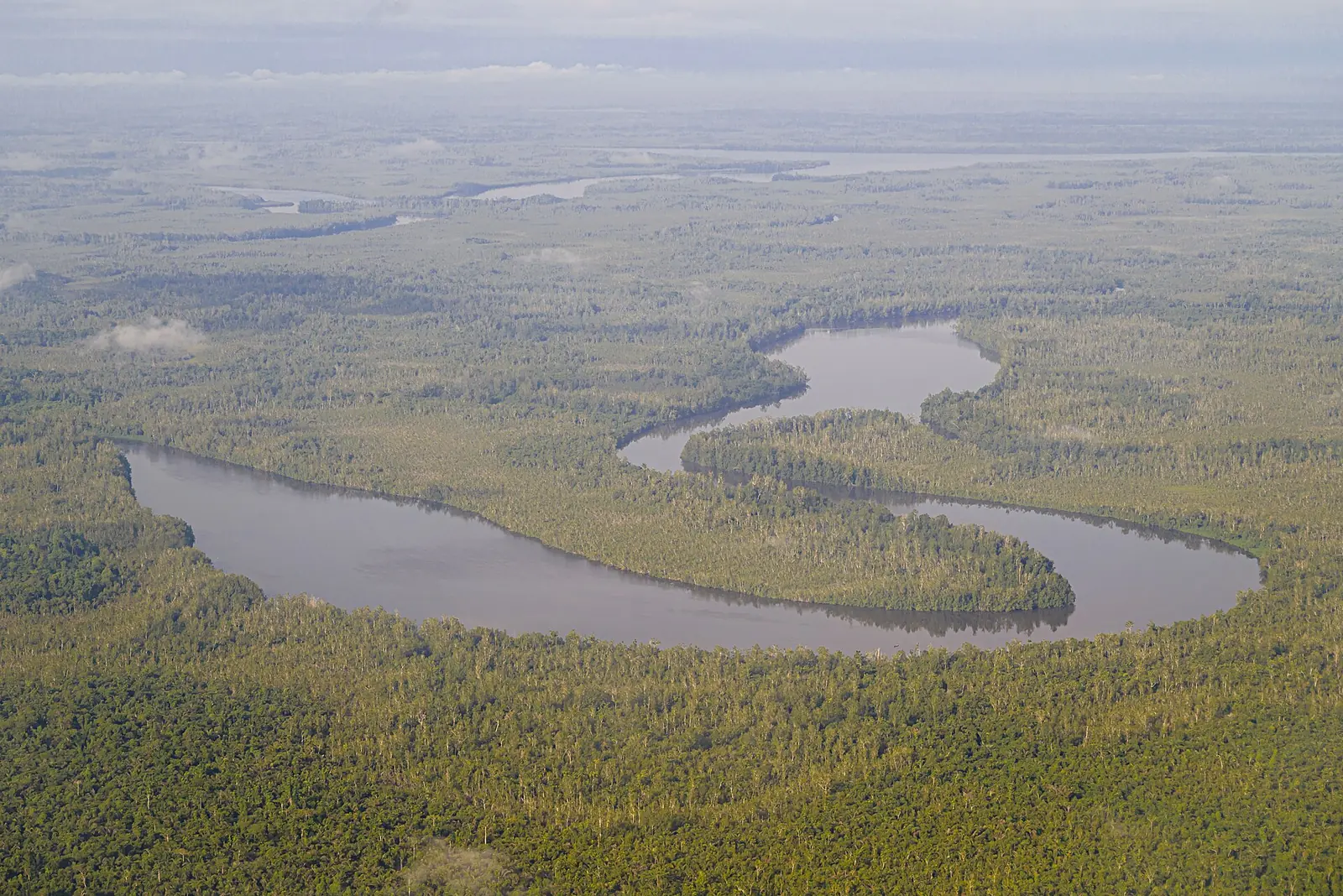
The Wouri, Mungo and Dibamba rivers flow into one large tidal estuary on the Bight of Biafra, with Douala at the mouth of the Wouri. The tide reaches about 45 km up the Wouri above the city. The Duala, Limba, Mungo and Isubu peoples have long lived here from farming and fishing, and many settlements outside Douala are villages reached only by water.1
The estuary gave the country its name. Portuguese sailors who arrived in 1472 called it Rio dos Camarões, the river of shrimps, after swarms of a small ghost shrimp, and the name became Cameroon. Germany annexed the estuary in 1884.1
Islands and history
Manoka, on an island at the southern edge of the estuary, is mostly mangrove, and more than half of it lies inside Douala-Edéa National Park. The Germans built a prison there, and the Duala leader Duala Manga Bell was arrested there on 10 May 1914, before being hanged on 8 August that year.4
Mangroves under pressure
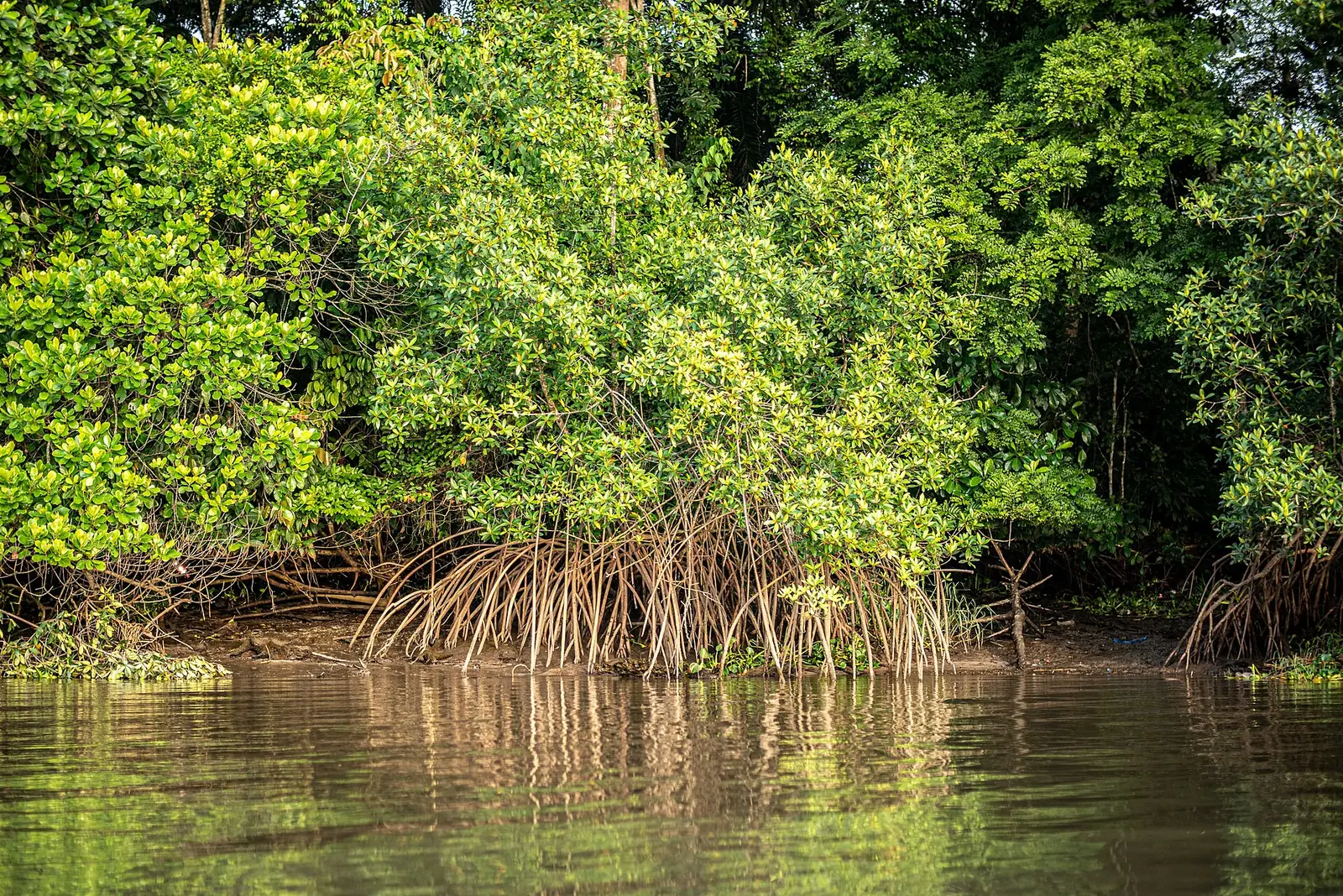
Red mangrove (Rhizophora racemosa) dominates and can grow to about 40 m here. The mangroves shelter young fish and shrimp, but they are cut for building, fuel and above all fish smoking, and they give way to the city. Reported losses vary with what is measured. A 2022 data investigation, citing Forest News, said mangrove around Douala and Bonabéri was disappearing at about 6.2% a year. Fishers told Mongabay in 2025 that their catches have fallen sharply.1,2,5
Residents are replanting. The CAMERR programme, run with the Cameroon Wildlife Conservation Society, aims to restore 1,000 hectares over 30 years, and at Bojongo in Douala a community nursery has helped replant about 3 hectares. Sources differ on when CAMERR started: Mongabay says November 2022, while partner Planète Urgence says it has run since 2020 and has replanted 240 hectares.2,3
In pictures
What visitors say
We summarise accounts published elsewhere and link to the original. These aren't reviews collected by this site, and we don't show a rating.
We haven't yet found a published visitor account for this place.
Check before you go
Our sources can't yet confirm these points:
- A reliable current figure for mangrove area in the estuary
- Whether there are recognised boat trips or landing points for visitors, and their prices
Also nearby
Sources for this page
Information checked on 9 November 2026. It may have changed since.
- Wouri estuary, Wikipedia (24 October 2026)
- As fish catches fall and seas rise, Douala's residents join efforts to restore mangroves, Mongabay (11 December 2025)
- CAMERR project: restoration of mangrove ecosystems, Planète Urgence (undated)
- Manoka, Wikipedia (undated)
- Environment: In Bonabéri, about 31% of mangroves have been lost in 5 years, DataCameroon and Le Jour (24 November 2022)
Enquire about Wouri Estuary
Visit Wouri Estuary
Plan your trip to Wouri Estuary in the Littoral Region. Send us an enquiry about guided tours, accommodation and transport, and we'll reply by email.
Send an enquiryLittoral Region
Capital: Douala
Cameroon's economic centre, around the port city of Douala and the Wouri Estuary, with Sawa and Bassa heritage, the Ngondo festival and the Sanaga River at Edéa.
More places in the Littoral Region
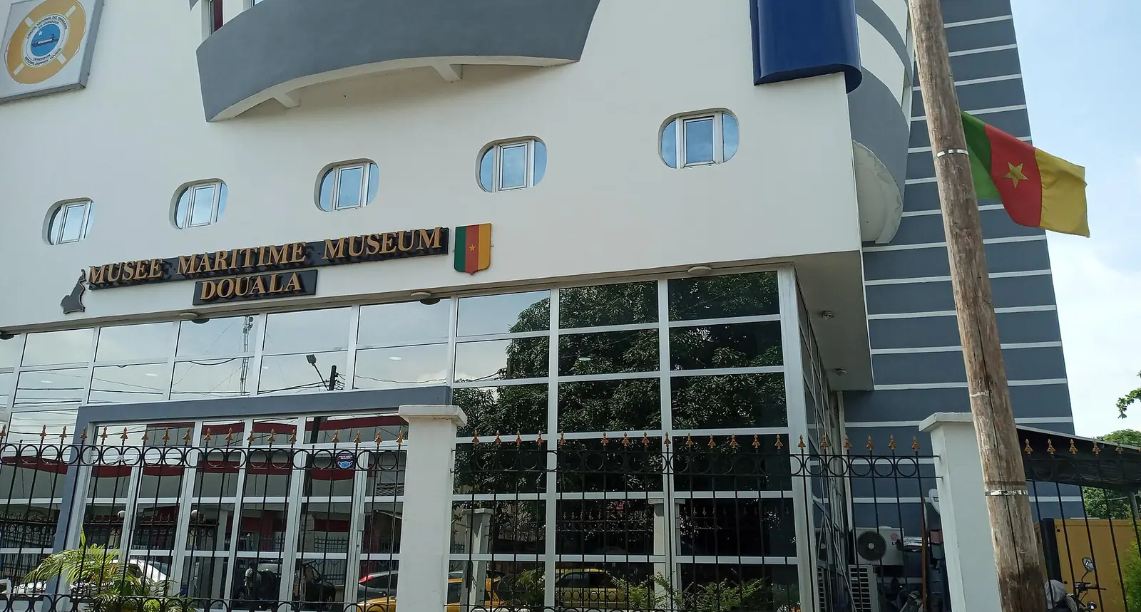
Douala Maritime Museum
A ship-shaped museum in Douala's Bonanjo district on Cameroon's coast, ports and ships, with a recreated ship's bridge and a navigation simulator.
La Pagode (Palace of King Bell)
The former palace of the Bell kings in Bonanjo, Douala, built in 1905 and still owned by the Bell family. It was home to Rudolf Duala Manga Bell, hanged by the German authorities in 1914.
Ekom-Nkam Waterfalls
A waterfall of about 80 m on the Nkam river near Melong, set in forest and used as a filming location for Greystoke (1984). A second fall runs beside it in the rainy season.
doual'art (Espace doual'art)
A non-profit contemporary art centre founded in Douala in 1991, with a gallery in Bonanjo and public artworks around the city. It organises SUD, the Salon Urbain de Douala.