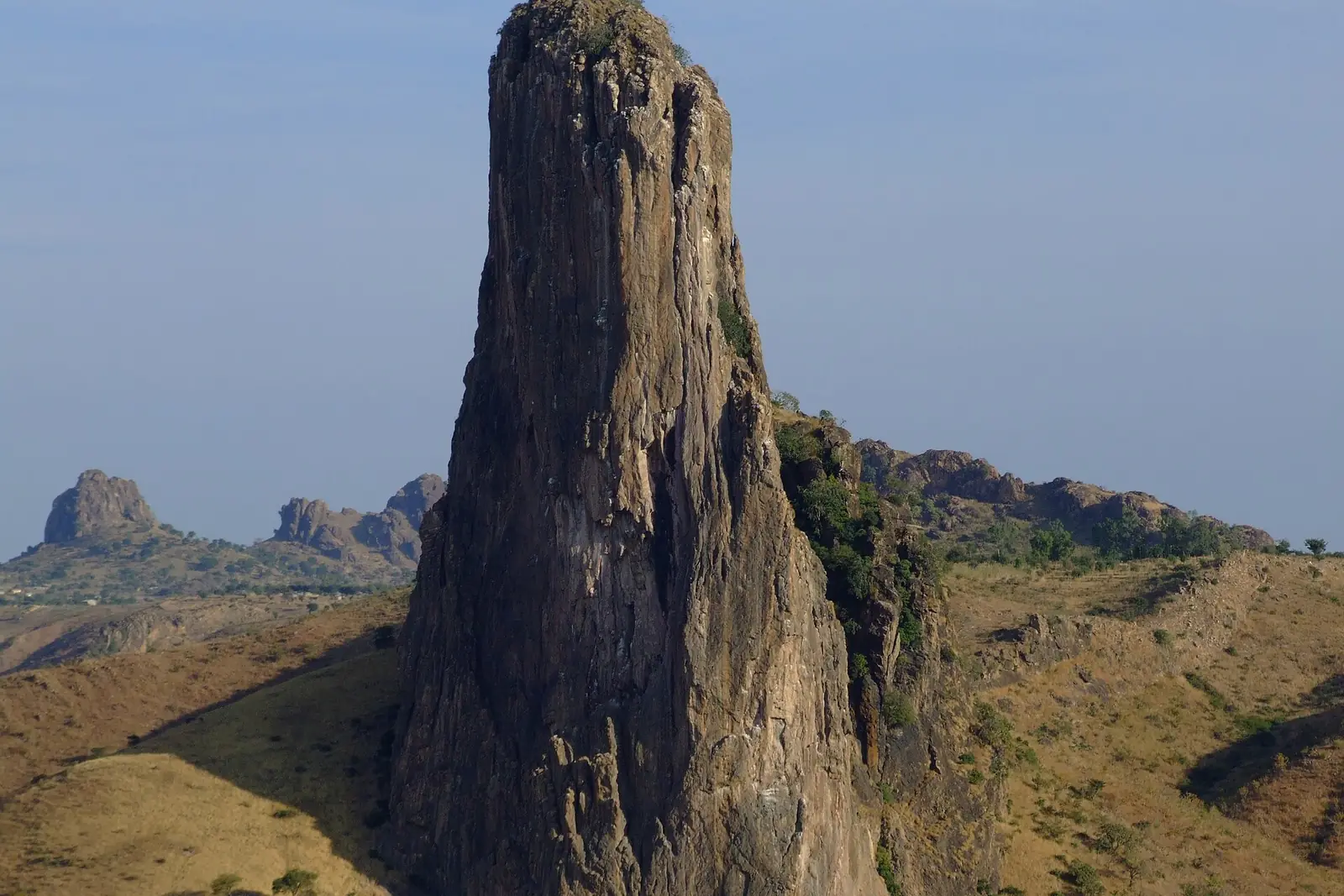
Cameroon's northernmost region, where the Chad Plain meets the Mandara Mountains and more than 50 ethnic groups live. It holds the Diy-Gid-Biy World Heritage sites, Waza National Park and the craft traditions of Maroua, its capital.
Places in this region
Listed for reference only, not as travel recommendations.
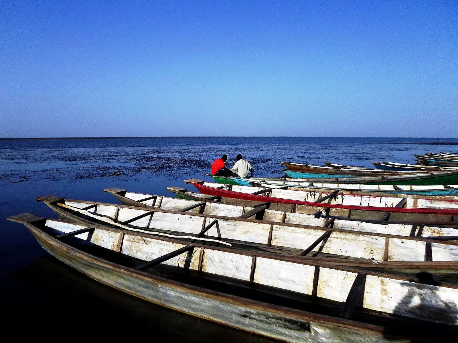
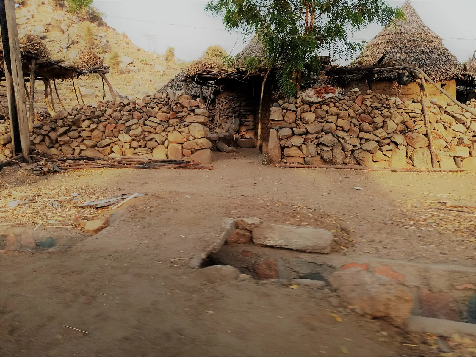
Plain, mountains and seasonal rivers
The Far North is Cameroon's northernmost region, bordered by Nigeria to the west, Chad to the east and the North Region to the south. It covers 34,263 km² across six divisions: Diamaré, Logone-et-Chari, Mayo-Danay, Mayo-Kani, Mayo-Sava and Mayo-Tsanaga. The 2005 census counted 3,111,792 people, and Wikipedia gives 3,993,007 for 2015.1,2
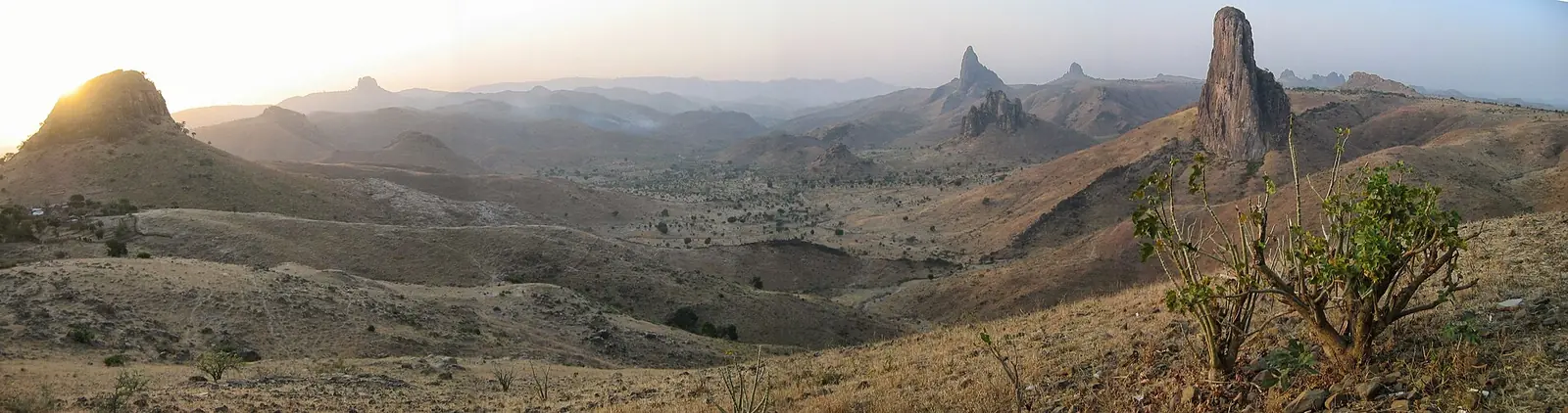
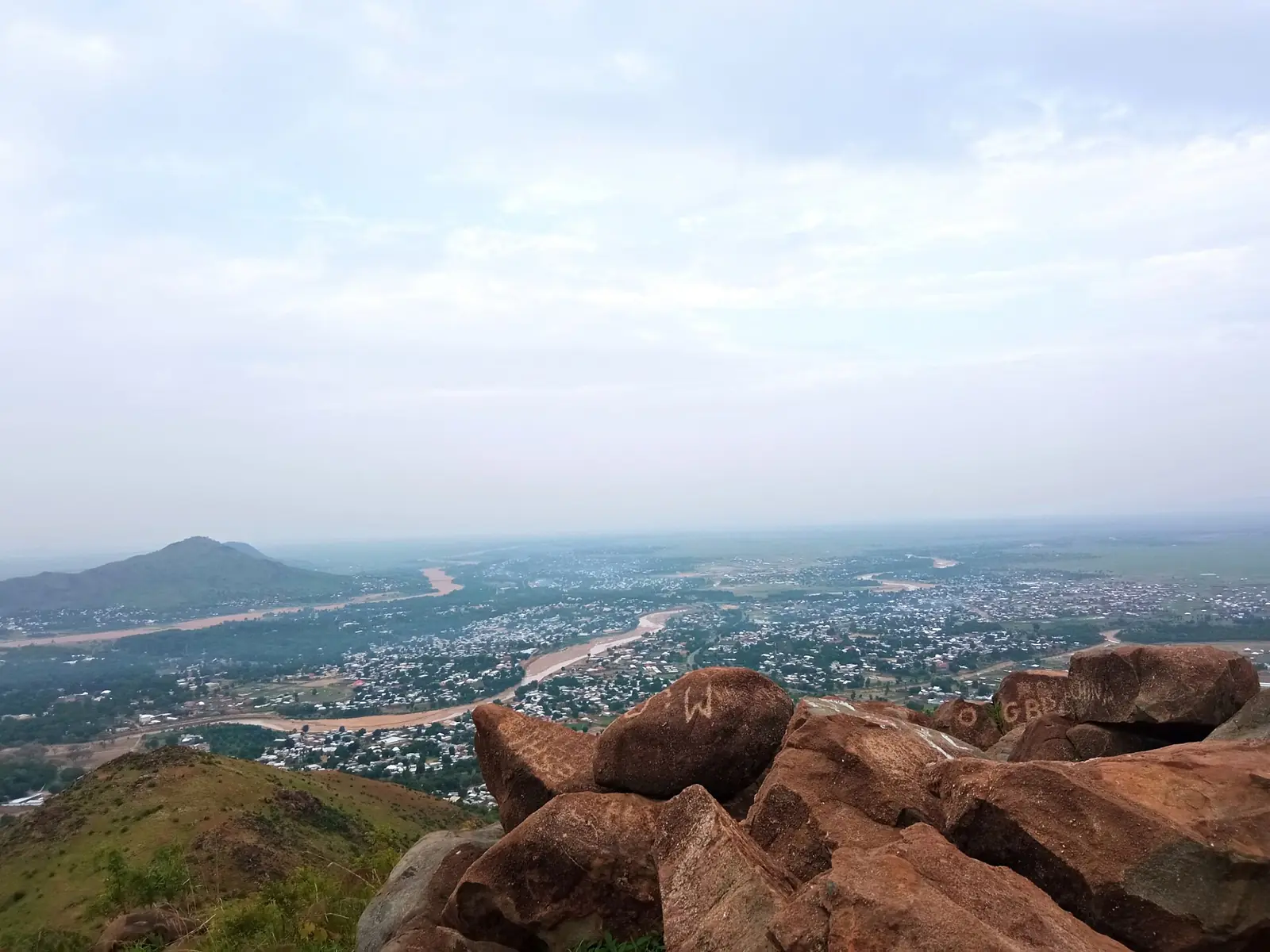
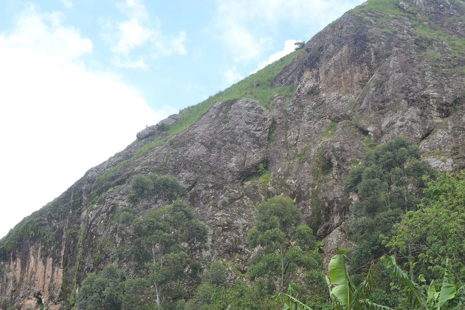
Most of the land is the Chad Plain, sloping from about 500 m in the southwest to about 200 m at the Logone. The Mandara Mountains run about 190 km along the Nigerian border, mostly at 500 to 1,000 m. Sources disagree on the high point: Wikipedia's regional article names Mount Tourou at 1,442 m, and its Mandara article names Mount Oupay at 1,494 m. Around Rhumsiki, volcanic plugs stand out from the landscape, the largest being Kapsiki Peak at 1,224 m.1,4,11
The Logone, Chari, El Beid and Serbewel drain towards Lake Chad, and the Logone floods heavily. Rivers are high from May to September and low from October to April. Lake Maga is an artificial wetland made by the Maga dam in 1979, beside the Logone. It is shallow, varies a lot in size, and held more than 20,000 waterbirds for most of the year at the 2001 assessment.1,14
North of about 10°N the climate is Sahelian, with 400 to 900 mm of rain a year; further south it is Sudanese, with 900 to 1,500 mm. Maroua's 1961 to 1990 normals show 790 mm a year, with no measured rain from November to February, a peak of 235 mm in August, and average highs of 40 °C in April. Wikipedia's regional article gives a different calendar, with heavy rains from April to June and a cool, sporadically wet spell from June to November.1,3
Peoples, languages and traditional rule
More than 50 ethnic groups live here. Speakers of Chadic languages form the largest share and include the Mandara, Mofu, Kapsiki and Matakam. The Fulani (Fulbe) are dominant in Maroua and the central territory, and Bororo Fulani are herders. The Tupuri and Mundang speak Adamawa languages, Shuwa Arabs live near Lake Chad, and the Kanuri, Musgum, Massa and Kotoko are also established here. The region is predominantly Muslim, with Christian and traditional religious minorities.1,9
Chiefs now hold limited power, but Fulani lamibe (lamidos) keep much influence. The Kotoko, most of whom live in Cameroon, are regarded as descendants of the Sao and founded a kingdom around 1500. In the mountains, residents built terraces from valley floors to high slopes and rotated sorghum, millet and legumes. The Podokwa, whose Oudjila clan the site lists, live on a plateau of 600 to 700 m west of Mora, at more than 140 people per km² according to one specialist site. Mokolo, at 760 m, is dominated by the Mafa and Fulani and has a Wednesday market.1,4,8,15,16
History
The Sao culture of the Logone valley and Lake Chad basin worked copper, iron and bronze and is known from pottery, funerary urns and figures. Its dates are debated. Wikipedia's Sao article reports city-states peaking between the 9th and 15th centuries, and most scholars see it ending as a distinct culture in the 16th century, after Bornu's expansion.1,7
The Diy-Gid-Biy are 16 archaeological sites in the Mandara Mountains, spread over about 25 km. Their inscription on the UNESCO World Heritage List was announced on 11 July 2025. Press coverage dates them to between the 12th and 17th centuries, while Wikipedia reports radiocarbon dates mostly in the 15th century, with the oldest site beginning about 1250. Their purpose remains open: suggestions include rain rituals, refuges, chiefly burials and trade centres. Wikipedia says the Mafa, who later modified parts of them, were not the builders.5,6
The Mandara kingdom dates from the 15th century, and its ruler Boukar converted to Islam in 1715. Maroua was occupied by the Guiziga in the 17th century and the Mofu in the 18th. After Usman Dan Fodio declared his jihad in 1804, Modibo Adama's campaign reached the region and took Maroua by 1813. Germany claimed the territory in 1884, and France took over from 1916, leaving lamidos in power. The Grand North was divided into three provinces in 1983.1,3
What the region is known for
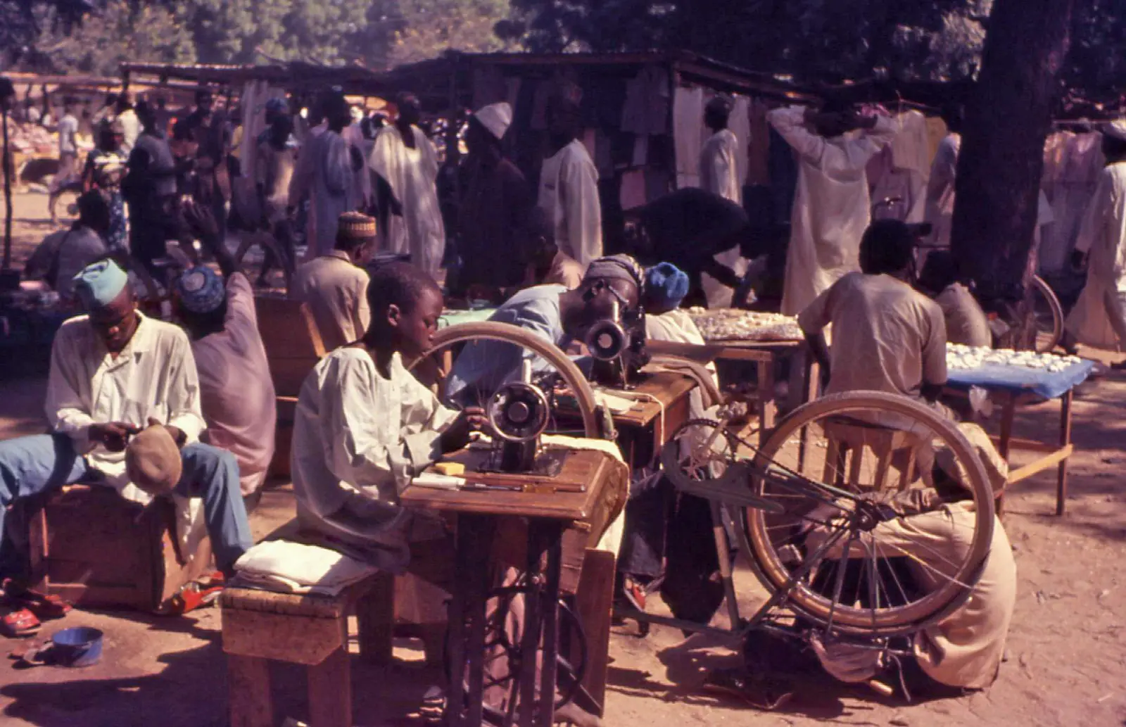
Maroua, at 384 m on the Ferngo and Kaliao rivers, had 201,371 people at the 2005 census and is known for embroidery, leather goods, jewellery and pottery. Wikivoyage describes tanners, potters, tailors, weavers and blacksmiths at its market.1,3,17
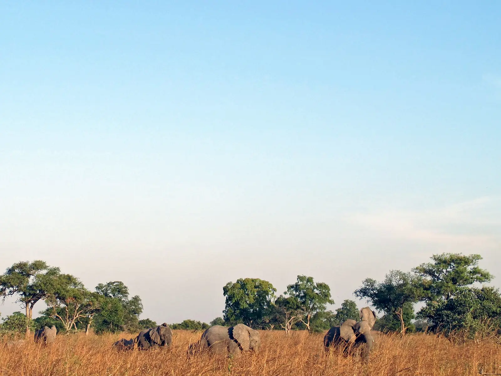
Waza National Park became a hunting reserve in 1934, a national park in 1968 and a biosphere reserve in 1979. Its area is given as 1,700 km² by Wikipedia and about 1,407 km² by the Key Biodiversity Areas factsheet. About 379 bird species are recorded for the park and the adjoining Logone floodplain (2001 assessment). Large mammal numbers have changed: lions were estimated at only 14 to 21 in 2010, and a survey with no date on the source's page found at least 350 Kordofan giraffe.12,13,18
Tupuri traditions include a chicken festival held in October under the chief of Doré, in Chad, and the gourna, their dance of the cock, in which dancers form a circle holding long sticks.1,10
In pictures
Map
Still to confirm
Our sources can't yet confirm these points:
- An official population figure after the 2005 census
- The Mandara high point (Mount Tourou at 1,442 m or Mount Oupay at 1,494 m)
- UNESCO's own wording on Diy-Gid-Biy: its World Heritage page refused automated access, so inscription details rest on press and Wikipedia
- Waza's current area and wildlife numbers, and the date of the giraffe survey
Sources for this page
Information checked on 6 November 2026. It may have changed since.
- Far North Region (Cameroon), Wikipedia (undated)
- Cameroon: administrative division (census counts by division, citing BUCREP and INS), City Population (Census of 11 November 2005)
- Maroua, Wikipedia (Climate normals 1961 to 1990)
- Mandara Mountains, Wikipedia (undated)
- Diy-Gid-Biy, Wikipedia (undated)
- UNESCO adds Cameroon, Malawi sites to heritage list, Asharq Al-Awsat (11 July 2025)
- Sao civilisation, Wikipedia (undated)
- Kotoko people, Wikipedia (undated)
- Musgum people, Wikipedia (undated)
- Tupuri people, Wikipedia (undated)
- Rhumsiki, Wikipedia (Edited 2026-09-29)
- Waza National Park, Wikipedia (undated)
- Waza National Park factsheet, Key Biodiversity Areas (Last assessed 2001)
- Lake Maga factsheet, Key Biodiversity Areas (Last assessed 2001)
- Mokolo, Wikipedia (undated)
- Podokwa, mandaras.info (specialist site, author not named) (undated)
- Maroua, Wikivoyage (undated)
- Kordofan giraffe conservation in Cameroon, Giraffe Conservation Foundation (undated)