- Length
- About 190 km1
- Rainfall
- 800 to 1,000 mm a year; wet season May to October1
- Highest point (one source)
- Mount Oupay, 1,494 m1
A volcanic range on the border
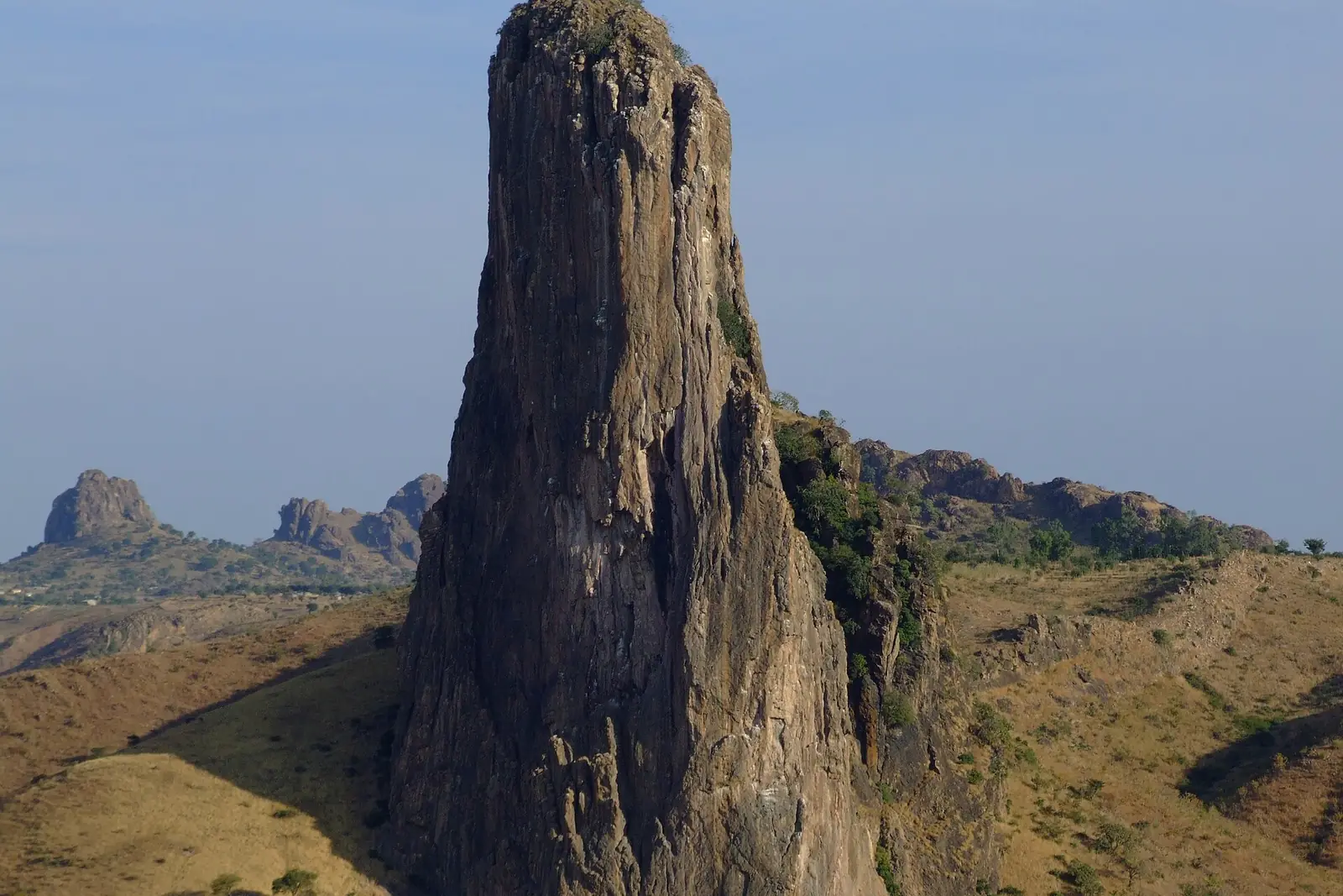
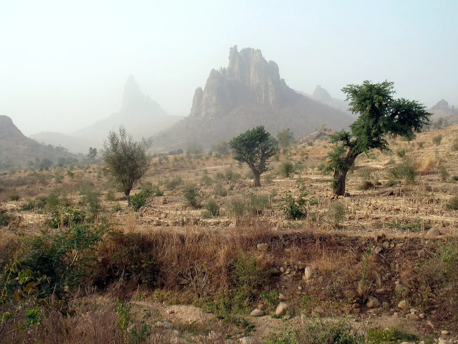
The Mandara Mountains are a volcanic range about 190 km long along the northern part of the Cameroon-Nigeria border. They run from the Benue River in the south to a point northwest of Maroua. Wikipedia, citing a 1980 Reader's Digest book, explains that basement rock rose and broke up, and that hardened magma later plugged volcanic vents. The plugs resisted erosion better than the cones around them and now stand as spires such as Kapsiki Peak. The same article gives Mount Oupay, at 1,494 m, as the highest point.1
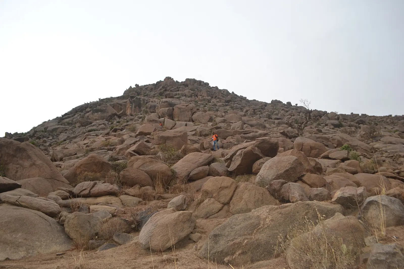
The climate is tropical savanna, tempered by altitude, with 800 to 1,000 mm of rain a year. The wet season runs from May to October and the dry season from November to April. Open woodland dominated by Isoberlinia doka was once the main vegetation, and between 1,200 and 1,494 m Sudanian lowland species mix with Afromontane ones, including some rare and endemic plants and reptiles. Grazing, burning and farming have left only fragments of degraded woodland. Mozogo-Gokoro National Park and the Mayo-Louti forest reserve cover lower parts of the range, but the high peaks are unprotected.1
Terraces and dense settlement
Gerhard Müller-Kosack's specialist site puts the population of the northern Mandaras at 100 to 250 people per km², with a long history of dense settlement. For centuries the mountains offered refuge from slave raids, as well as more rain than the plains. Terrace farming has always needed heavy labour, including stall-feeding animals so their manure kept the fields fertile, though chemical fertiliser has since changed this. The site notes that 'kirdi', a term often applied to mountain peoples, is derogatory and tied to that history of slavery.4
Wikipedia, drawing on a 1986 study in the African Studies Review, describes terraces running from the valley floors to the high slopes, with sorghum, millet and legumes rotated to keep soils fertile. Khaya senegalensis and Acacia albida are the most important trees, used for shade, fodder and green manure. Most residents speak Chadic languages.1
Peoples and landscapes differ across the range. The Kapsiki live on a central plateau about 900 m high south of Mokolo, and the Podokwa on a plateau of 600 to 700 m west of Mora. Müller-Kosack's site also documents a Mafa bull festival that was still held in 2000 in the village of Zlama, on the eastern slopes of the Ziver massif.4,5,6
Diy-Gid-Biy, a World Heritage landscape
In 2025 UNESCO inscribed the Diy-Gid-Biy Cultural Landscape of the Mandara Mountains on the World Heritage List, under criterion (iii). The property covers 2,500 ha, with a buffer zone of 2,372.3 ha, and includes 16 archaeological sites across seven villages in the Far North Region. Diy-Gid-Biy means 'ruin of the chief's residence' in the Mafa language. UNESCO says these dry-stone structures were probably built between the 12th and 17th centuries by builders who remain unknown, and that the Mafa have lived in the area since the 15th century. Terraces, homes, tombs, places of worship and craft activity surround them.2
Wikipedia, drawing on archaeological work, says the sites are spread over about 25 km and consist of dry-stone terraces and platforms with stairways. Radiocarbon dates place the first building at most sites in the 15th century, and at DGB-1 around 1250. Excavations began in 2001 under Nicholas David. The main view among specialists is that the structures served rituals linked to rain and water; defence, chiefs' burials and elite residence have also been proposed. Finds at DGB-1 include iron spear tips and arrowheads, along with copper and glass from outside the region.3
In pictures
Map
Still to confirm
Our sources can't yet confirm these points:
- The range's highest point: Mount Oupay at 1,494 m comes from a 1980 book cited on Wikipedia, and an earlier check found Mount Tourou at 1,442 m given elsewhere.
- The WWF ecoregion page behind the climate and vegetation figures, which refused the fetch.
- How the Diy-Gid-Biy dates fit together: UNESCO gives the 12th to 17th centuries, while the radiocarbon summary on Wikipedia puts most first building in the 15th century.
Sources for this page
Information checked on 9 November 2026. It may have changed since.
- Mandara Mountains, Wikipedia (citing Reader's Digest, Natural Wonders of the World, 1980; Riddell and Campbell, African Studies Review, 1986; and WWF's Mandara Plateau mosaic ecoregion page) (undated)
- Diy-Gid-Biy Cultural Landscape of the Mandara Mountains, UNESCO World Heritage Centre (2025 (date of inscription))
- Diy-Gid-Biy, Wikipedia (citing N. David 2002, S. MacEachern 2012 and 2013, and UNESCO) (undated)
- Northern Montagnards, mandaras.info, Gerhard Müller-Kosack (undated)
- The Kapsiki-Higi (Nigeria and Cameroon), mandaras.info, Gerhard Müller-Kosack (undated)
- The Podokwa (Cameroon), mandaras.info, Gerhard Müller-Kosack (citing Lembezat 1950 and 1952) (undated)
Far North Region
Capital: Maroua
Cameroon's northernmost region, where the Chad Plain meets the Mandara Mountains and more than 50 ethnic groups live. It holds the Diy-Gid-Biy World Heritage sites, Waza National Park and the craft traditions of Maroua, its capital.
More places in the Far North Region
Rhumsiki
A Kapsiki village of stone and thatch houses in the Mandara Mountains, set among volcanic peaks that include 1,224 m Kapsiki Peak.
Waza National Park
A national park and UNESCO biosphere reserve between Sahel and savanna, home to elephants, one of the last Kordofan giraffe populations and about 379 recorded bird species.
Marché central de Maroua
Maroua's central market, home to tanners, weavers, tailors, potters and blacksmiths, with a craft centre at its entrance since 1955.
Lake Maga
A shallow reservoir created in 1979 on the Logone plain, home to hippopotamuses, large gatherings of waterbirds and Musgum and Massa fishing communities.