Between Sahel and savanna
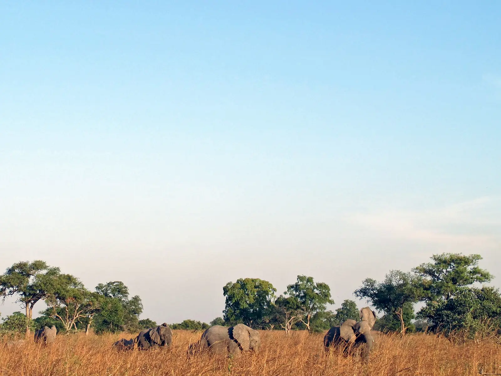
Waza National Park lies in Logone-et-Chari department, in the transition zone between the Sahel and the Sudan savanna. The land is flat and low, at about 300 to 320 m, with rocky outcrops near Waza village rising above 500 m. A 1983 record notes that part of the area was once covered by Lake Chad and that there are no permanent rivers; the northeast corner floods every year.1,2,3
Its size differs by source: 170,000 ha in the 1983 record, 1,700 km² on Wikipedia, and about 1,407 km² for the Key Biodiversity Area. The climate is semi-arid, with about 700 mm of irregular rain a year and a mean temperature of 28 °C. December is the coolest month, with mean minimums of 16 °C, and April the hottest, with mean maximums of 41 °C.1,2,3
The 1983 record describes five main vegetation types: open shrub savanna with Sclerocarya, Combretum, Terminalia and doum palms; Anogeissus woodland on sandy soil; open Lannea grass savanna with islands of Mitragyna around seasonal waterholes; Acacia seyal tree savanna on black clay, then spreading as the area dried; and the yaéré floodplains of perennial grasses.2,3
History of the park
According to the 1983 World Conservation Monitoring Centre record, Zina-Waza became a hunting reserve on 24 March 1934 and was enlarged to 165,000 ha in 1935. It was made a forest and wildlife reserve in 1938, a national park on 5 December 1968, and a UNESCO biosphere reserve in May 1979. The Key Biodiversity Area factsheet gives 1937 for the hunting reserve instead.1,2
The Maga dam, built in 1979 about 25 km south of the park, and embankments along the Logone cut off flooding across some 1,500 km² of plain to the west, including the park. Two waterways opened in 1994 and 1997 reflooded about 600 km². A 2024 study reports that kob and korrigum fell sharply after the dam and recovered only slightly after reflooding, and that herbivore numbers dropped considerably over the previous fifteen years.2,6
Wildlife
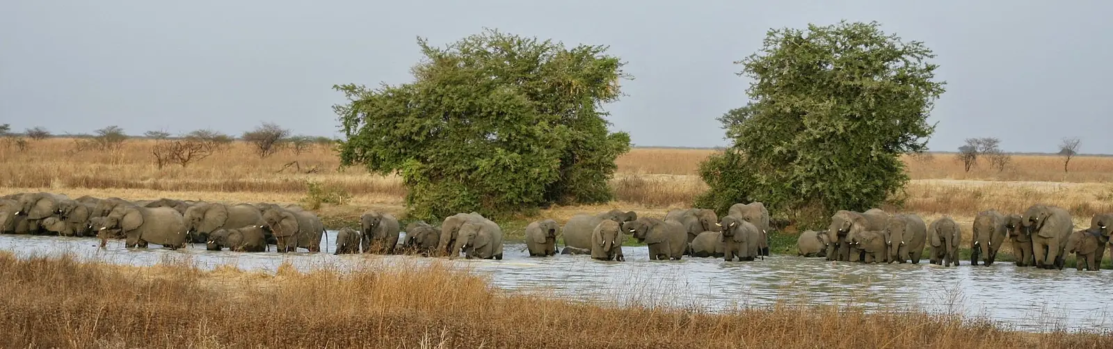
Elephant figures vary widely. The Key Biodiversity Area factsheet, last assessed in 2001, gives about 1,300. An aerial total count in 2007, recorded in the African Elephant Database, found 246 elephants over 1,970 km². The two figures come from different years and methods, and no more recent count was found.1,7
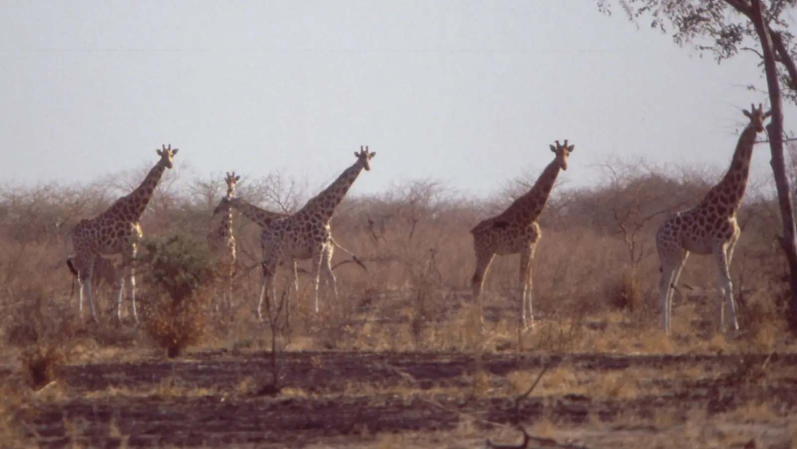
Waza holds one of the last populations of Kordofan giraffe, a subspecies listed as Critically Endangered in 2018. An aerial survey by the Wildlife Conservation Society, supported by the Giraffe Conservation Foundation, found at least 350, fewer than earlier estimates; the foundation does not give the survey year. The 1983 record notes that about 2,500 kob and eight giraffes died in the 1972-73 drought.2,3,4
A 2012 Leiden University thesis by P. N. Tumenta found that adult lions fell from 40-60 in 2002 to 14-21 in 2008, a drop of about 65% in six years. Their mean home range grew from 630 km² in 2000 to 1,015 km² in 2008, reaching beyond the park, and livestock made up as much as 21.6% of their diet, which led herders to kill lions in retaliation.5
About 379 bird species have been recorded in the park and the adjoining Logone floodplain. The 2001 assessment counted more than 20,000 waterbirds for most of the year, up to 15,000 white-faced whistling ducks, more than 1,000 black crowned cranes and 100 to 200 Arabian bustards. It also listed about 100 ostriches, then the last population in Cameroon.1,3
Other mammals listed include red-fronted gazelle, korrigum, kob, roan antelope, hartebeest, warthog and aardvark. The status of leopard and cheetah was already described as uncertain in 1983.2,3
In pictures
Map
Still to confirm
Our sources can't yet confirm these points:
- Current counts of elephants, Kordofan giraffes and lions; the newest figures found date from 2007 or 2008, or are undated.
- The year of the aerial survey that found at least 350 Kordofan giraffes.
- Whether ostriches still survive in the park, as the 2001 assessment recorded.
- The park's official area (170,000 ha, 1,700 km² or 1,407 km²).
- Whether the hunting reserve dates from 1934, as the 1983 record says, or 1937, as the KBA factsheet says.
Sources for this page
Information checked on 9 November 2026. It may have changed since.
- Waza National Park (KBA 6106), Key Biodiversity Areas Partnership (Last assessed 2001)
- Parc national de Waza, World Conservation Monitoring Centre record, archived by the University of Hamburg (1983, revised 2000-12-11)
- Waza National Park, Wikipedia (undated)
- Kordofan giraffe conservation in Cameroon, Giraffe Conservation Foundation (undated)
- A lion population under threat: understanding lion (Panthera leo Linnaeus, 1758) ecology and human-lion interactions related to livestock predation in Waza National Park, Cameroon (P. N. Tumenta; abstract), Leiden University, doctoral thesis (11 December 2012)
- Reflooding the coupled human and natural system of the Waza-Logone Floodplain, Cameroon (M. Moritz, C. E. Hunter, P. Scholte), Frontiers in Conservation Science (24 September 2024)
- Aerial total count, Waza (MIKE site), 2007, African Elephant Database, IUCN African Elephant Specialist Group (Record updated 2022-07-15)
Far North Region
Capital: Maroua
Cameroon's northernmost region, where the Chad Plain meets the Mandara Mountains and more than 50 ethnic groups live. It holds the Diy-Gid-Biy World Heritage sites, Waza National Park and the craft traditions of Maroua, its capital.
More places in the Far North Region
Rhumsiki
A Kapsiki village of stone and thatch houses in the Mandara Mountains, set among volcanic peaks that include 1,224 m Kapsiki Peak.
Marché central de Maroua
Maroua's central market, home to tanners, weavers, tailors, potters and blacksmiths, with a craft centre at its entrance since 1955.
Mandara Mountains
A volcanic range of terraced slopes and eroded peaks on the Cameroon-Nigeria border, home to the Diy-Gid-Biy cultural landscape, a World Heritage site since 2025.
Lake Maga
A shallow reservoir created in 1979 on the Logone plain, home to hippopotamuses, large gatherings of waterbirds and Musgum and Massa fishing communities.