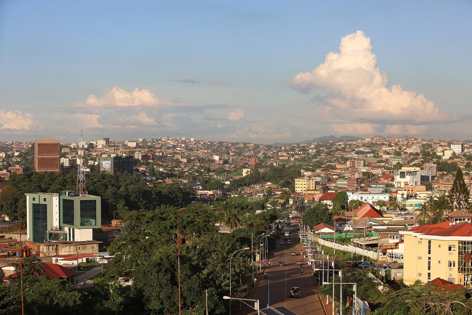
Home to Yaoundé, the national capital, the Centre Region lies on a forested plateau crossed by the Sanaga River. It is a heartland of the Beti peoples and the birthplace of bikutsi music.
Places to visit
Where it is and what it is like
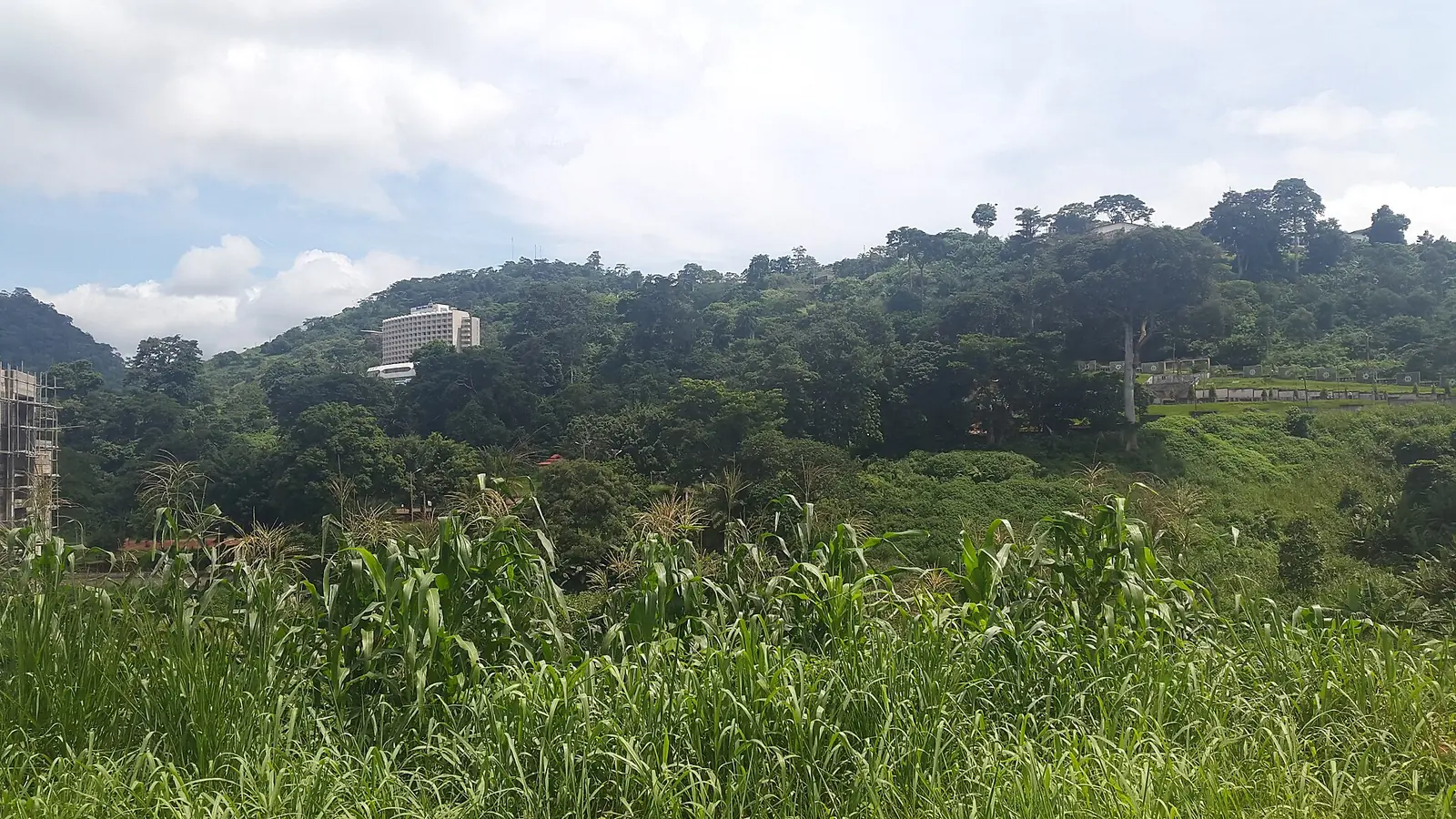
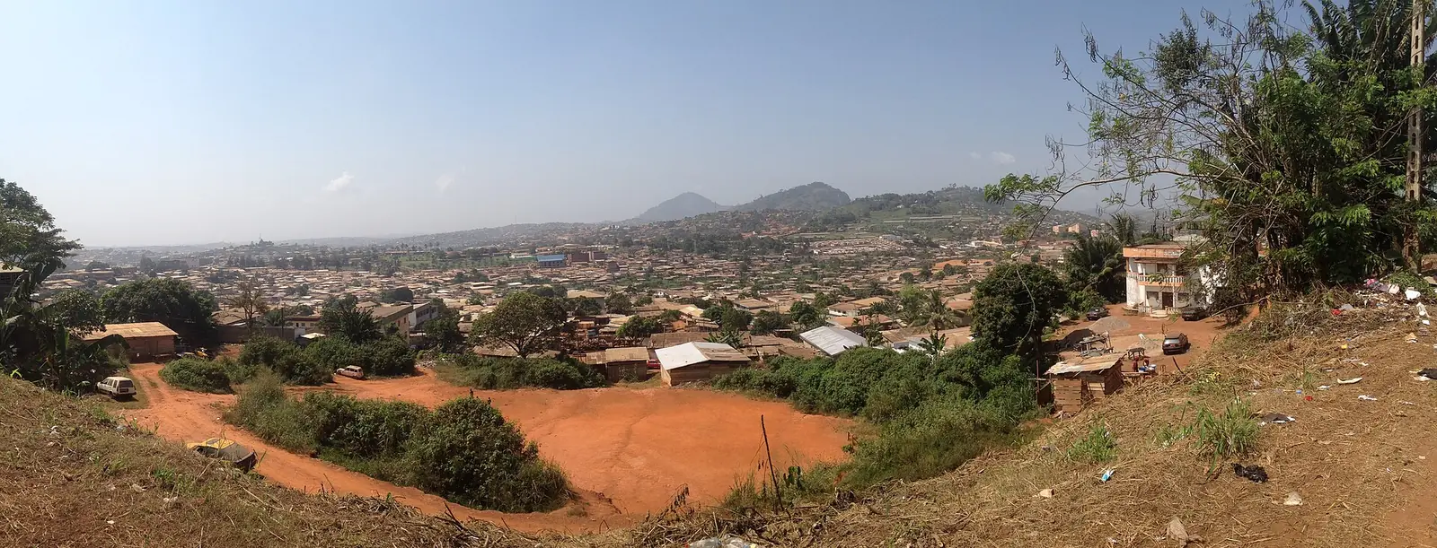
The Centre Region lies on the South Cameroon Plateau, between Adamawa to the north, the South Region to the south, the East Region to the east, and the Littoral and West regions to the west. It is the second-largest region after the East. Most of the land stands 500 to 1,000 m above sea level, in rolling hills separated by deep valleys, though the Sanaga valley drops to about 200 m. The highest point is Mbam Minkom, 1,295 m, north-west of Yaoundé.1,2,3,5
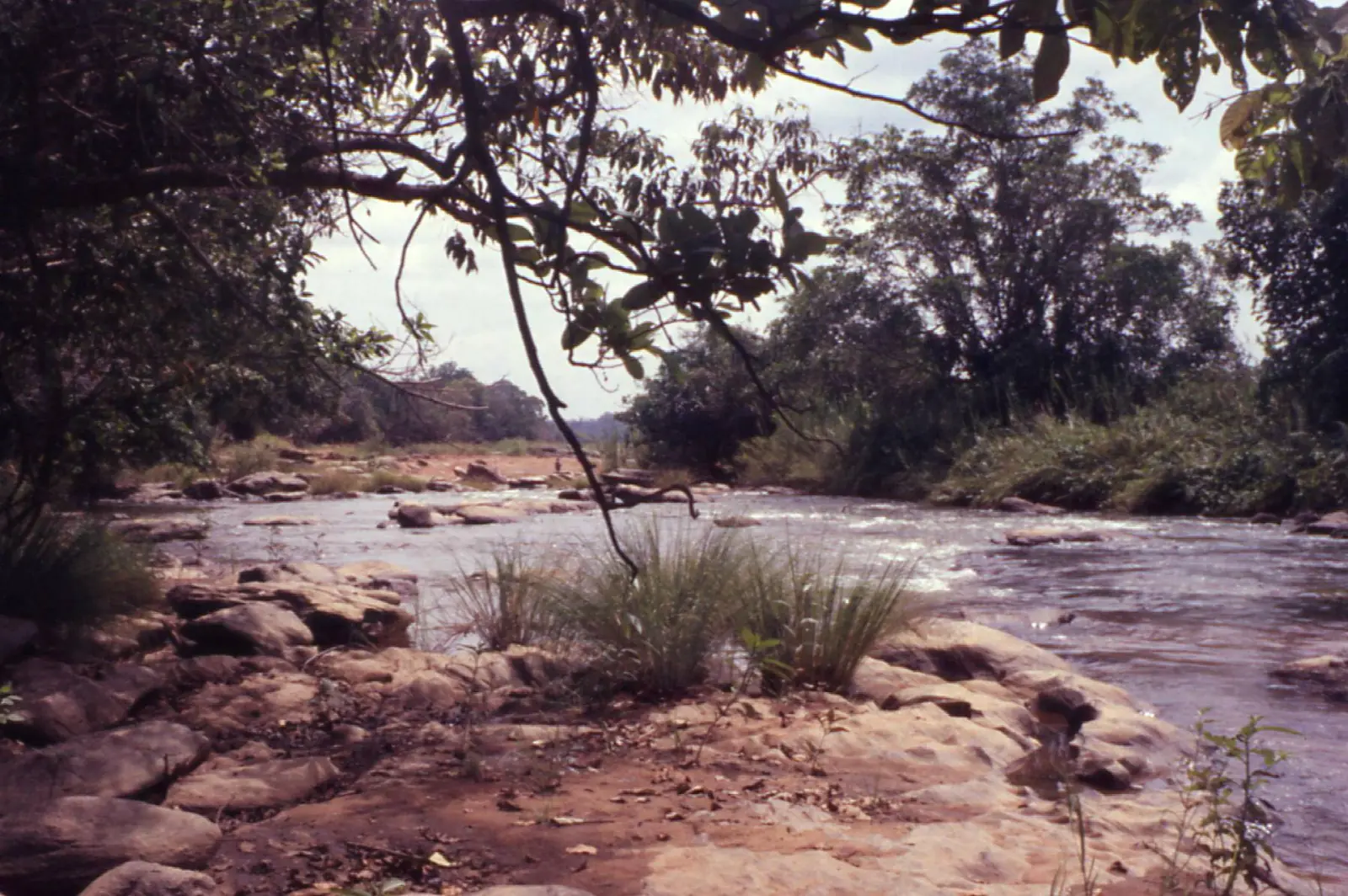
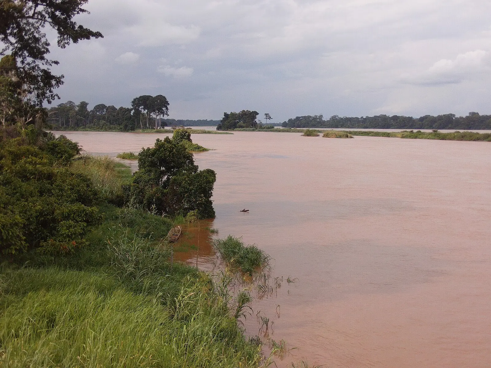
Forest covers most of the region, with savanna in the valleys of the Djérem, Mbam and Noun and along the northern border. Felling of species such as ebony and iroko has thinned the woodland and let the savanna spread south, and little untouched land remains. The Sanaga is the main river. Its rapids at Nachtigal, about 65 km north-east of Yaoundé, now power a 420 MW hydroelectric plant, reported as fully running since 18 March 2025.1,10,11
Climate and seasons
Temperatures are steady, averaging about 24°C, and rainfall ranges from 1,000 to 2,000 mm a year, falling off towards the north. Yaoundé receives about 1,540 mm, from roughly 20 mm in December and January to 295 mm in October. Sources draw the seasons differently. Pages on Yaoundé put the main dry season in December to February, or December to March, with rain for the rest of the year and a lull in July and August. The regional article gives a long dry season from December to May, which doesn't fit those monthly figures, so we don't rely on it.1,4,5,8
Peoples, languages and traditional institutions
The Beti, part of the wider Beti-Pahuin group, are the region's largest population. Among them, the Ewondo live around Yaoundé and Mbalmayo and the Eton in Lekié north of the capital. Other peoples include the Bassa in Nyong-et-Kéllé, the Banen, Bafia and Yambassa around Bafia, the Vute across much of the Mbam area, and Tikar groups in the north-west. Most groups keep their own language, and most people also speak French. Ewondo is the most widely spoken national language in Yaoundé.1,5
Traditional authority varies. Among the Beti, a patriarch heads a clan of related families, and the role is now largely honorary, while Tikar groups are led by a fon with administrative and religious duties. The German colonial government made Charles Atangana (about 1880 to 1943) paramount chief of the Ewondo and Bane, and the French later reappointed him. Cameroon restored traditional chieftaincies by decree in 1977, and his daughter Marie-Thérèse later became Ewondo paramount chief.1,5,7
History
Many of today's peoples arrived in migrations of the 17th to 19th centuries, some of them moving south under pressure from Fulbe raids further north. German explorers set up a post at Yaoundé, named after the local Yaunde or Ewondo people; sources date it to 1887, 1888 or 1889.1,4
The Germans fell back on Yaoundé after losing Douala in 1914, and France chose it as the colony's capital in 1922. The railway from Douala arrived in 1927. Yaoundé remained the seat of government at independence in 1960. The Centre was split from the former Centre-South Province on 22 August 1983.1,4,5,9
What the region is known for
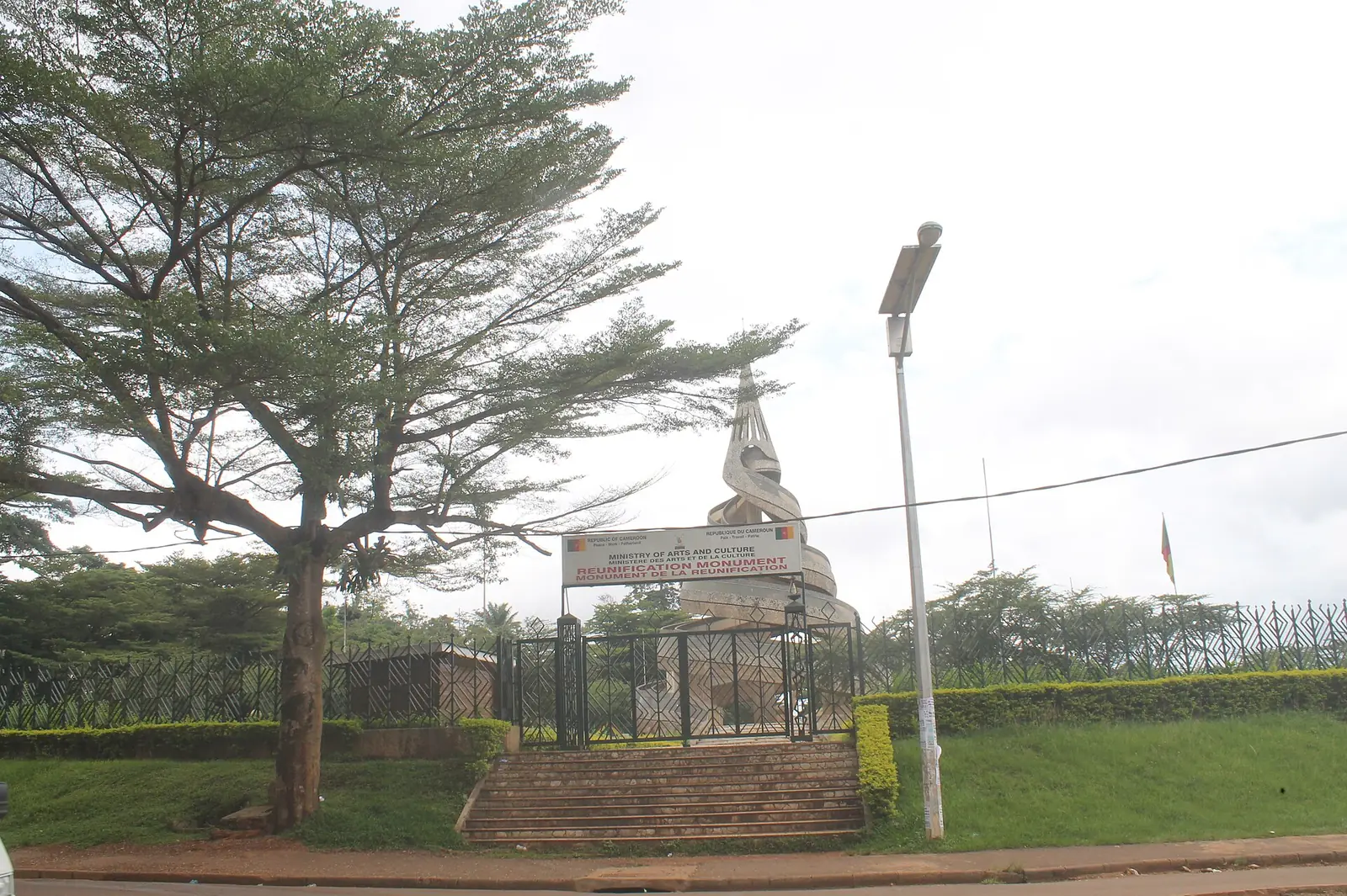
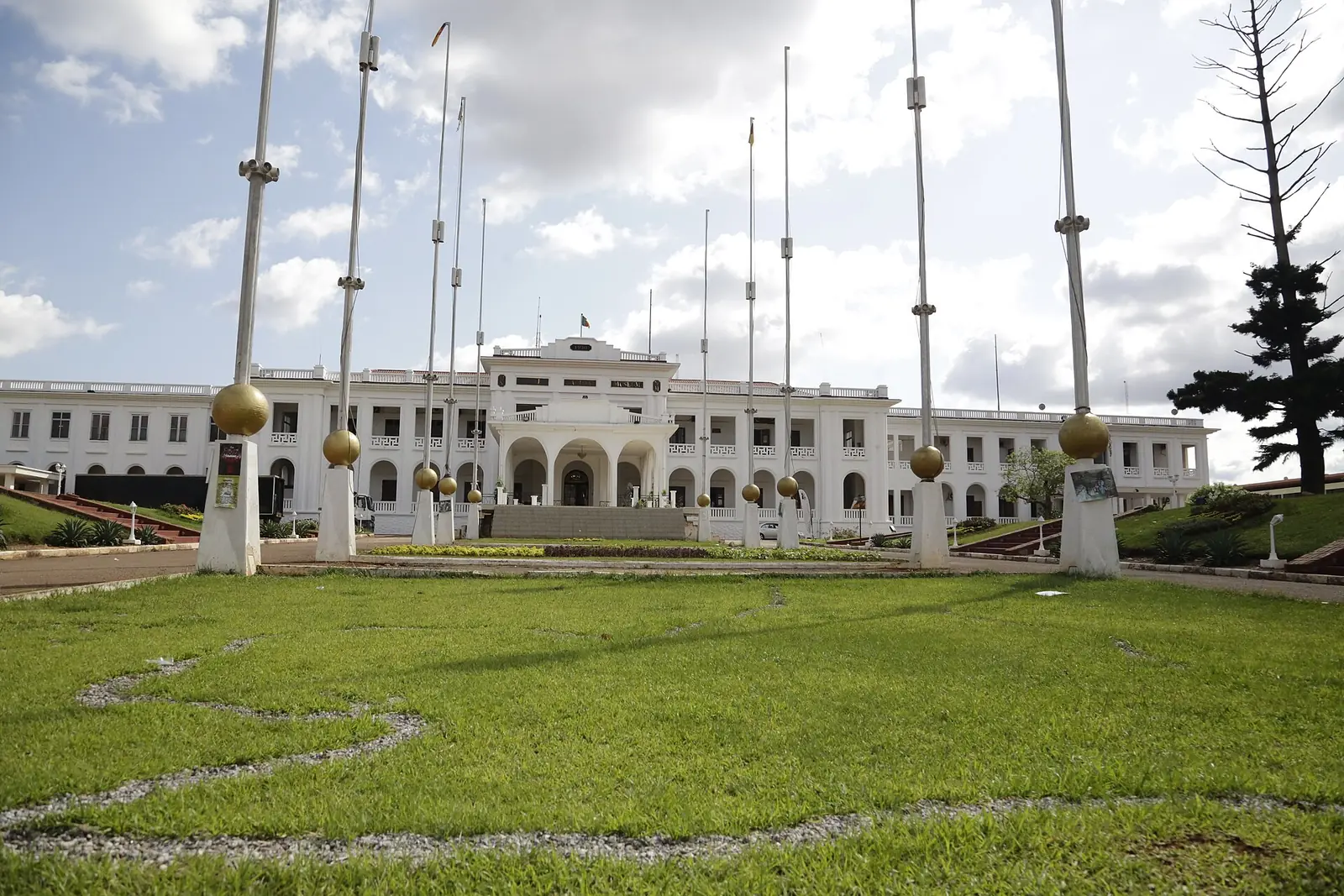
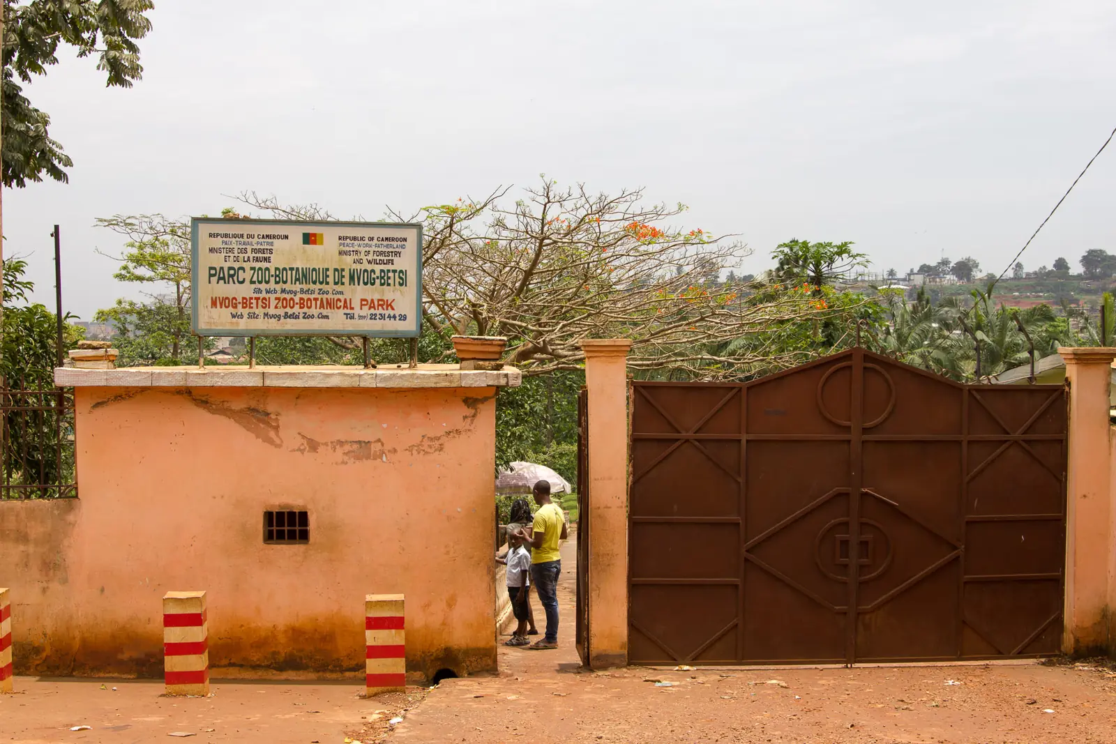
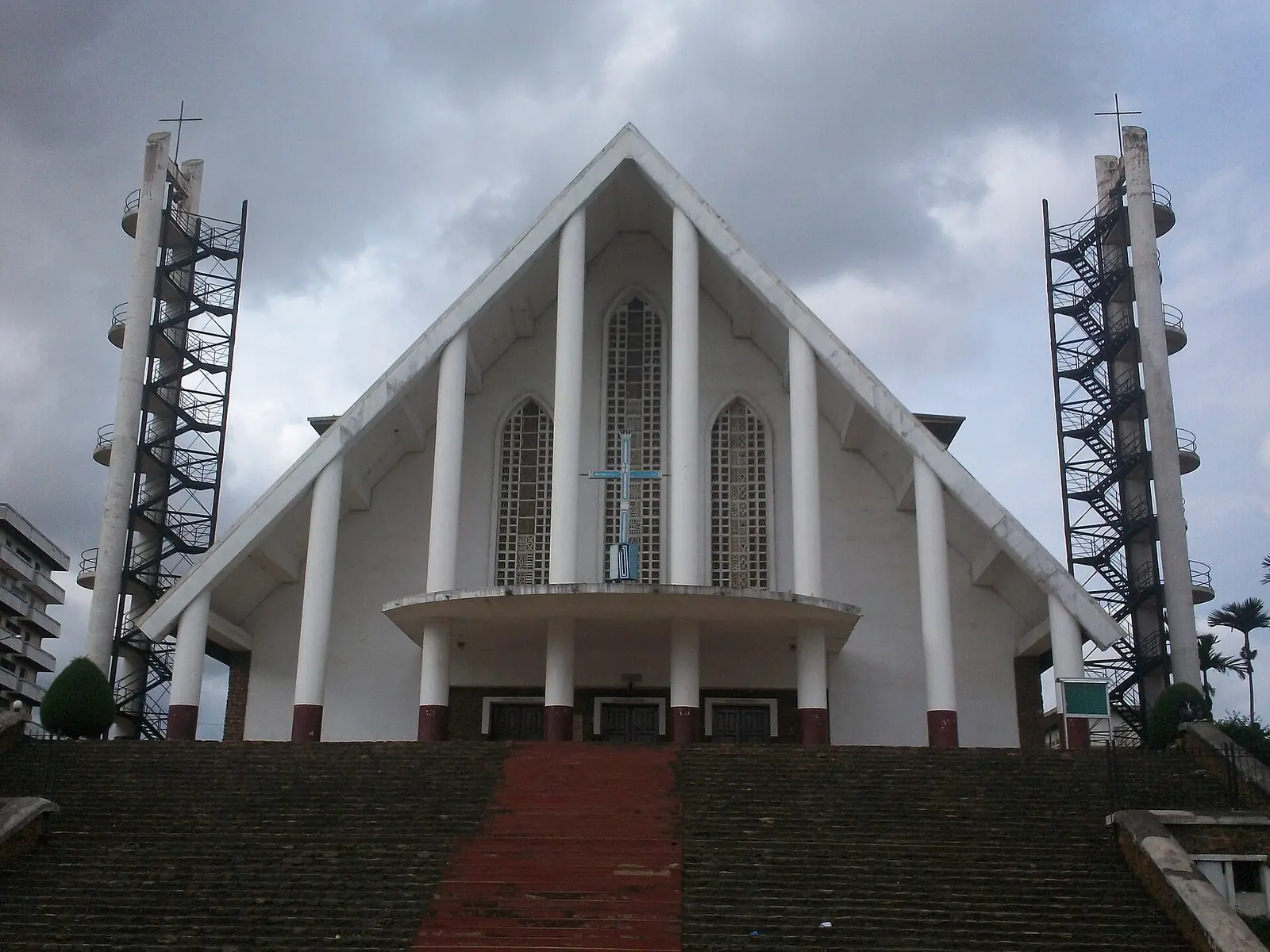
Yaoundé, often called the city of seven hills, counted 1,817,524 people in the 2005 census and is projected at 3,762,900 for 2025. It holds most of the country's museums. The places we list include the Reunification Monument, built in the 1970s (one guide says 1973); the National Museum of Cameroon, in a building that served as the governor's residence and then the presidential palace; Mont Fébé, a hill with a view over the city and a Benedictine monastery founded in 1964; the Mvog-Betsi Zoo-Botanical Garden; and Our Lady of Victories Cathedral, consecrated in 1955.1,2,5,8,16,17,18,19,20
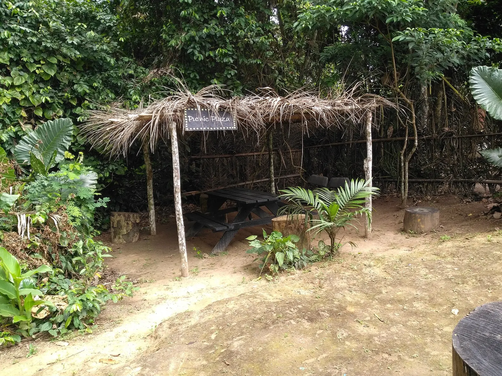
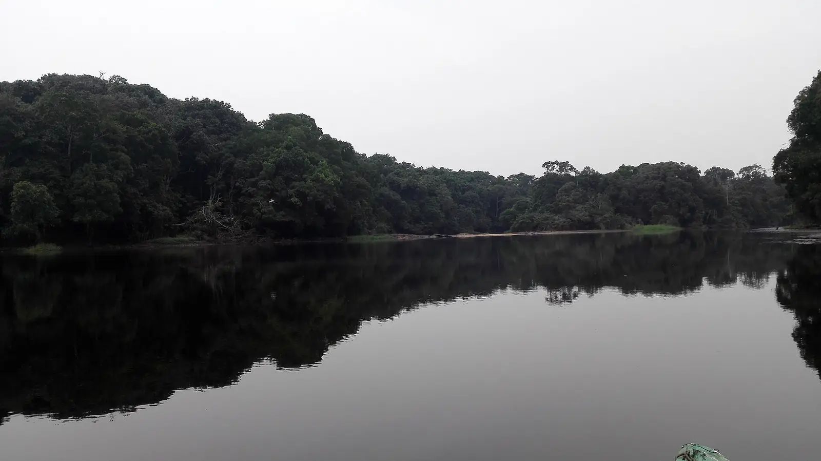
Beyond the city are the Mefou Primate Sanctuary, where Ape Action Africa cares for orphaned and injured gorillas, chimpanzees and monkeys; Nachtigal Falls on the Sanaga; and the Ebogo Ecotourism Site, about 15 km from Mbalmayo in a Ramsar-listed wetland on the Nyong, known for canoe trips and a giant moabi tree.1,11,14,15
Music, crafts and festivals
Bikutsi, a dance music developed from Beti traditions around Yaoundé, is one of Cameroon's most popular styles. Its name means roughly "beat the earth". Anne-Marie Nzié recorded an early popular form in the 1940s, and international attention followed the band Les Têtes Brûlées, formed in 1987. Traditional gatherings use the mvet, a harp played by storytellers. For crafts, Nanga Eboko is known for decorated pottery. Yaoundé hosts the Écrans Noirs film festival, founded in 1997; its 29th edition ran from 20 to 27 September 2025.1,6,12,13
Getting there and around
Yaoundé Nsimalen International Airport lies 27 km south of the city. One undated guide notes that most flights land at Douala. Camrail trains run to Douala and north to Ngaoundéré; these routes were listed with daily services in May 2014. The same guide gives 3 hours 45 minutes for the Douala intercity train, and describes a daily overnight train with couchettes from Ngaoundéré.4,8,21
Most main roads lead to Yaoundé: National Road 1 north, 2 south towards Ambam, 3 to Douala, 4 north-west to Bafoussam, and 10 east through Ayos. Douala is 3 to 4 hours away by bus.1,4,8
In pictures
Map
Still to confirm
Our sources can't yet confirm these points:
- Current airlines and flight schedules at Yaoundé Nsimalen
- Current Camrail timetables and fares (the guide's Camrail link is dead)
- Current road conditions in the region
- Any population count after the 2005 census: the 2025 figures are projections
- Dishes specific to the Centre Region: no source we could read ties a dish to it
- Dates of the next Écrans Noirs edition
Sources for this page
Information checked on 6 November 2026. It may have changed since.
- Centre Region (Cameroon), Wikipedia (undated)
- Cameroon: regions, cities and towns, City Population, from Cameroon census bureau data (Census 2005-11-11; projection 2025-01-01)
- Regions of Cameroon, Statoids, from the Annuaire Statistique du Cameroun 2011 (Census 2005-11-11)
- Yaoundé, Wikipedia (undated)
- Yaoundé, Wikipédia (undated)
- Bikutsi, Wikipedia (undated)
- Charles Atangana, Wikipedia (undated)
- Yaoundé, Wikivoyage (undated)
- History of rail transport in Cameroon, Wikipedia (undated)
- Barrage de Nachtigal, Wikipédia (undated)
- Nachtigal Hydroelectric Power Station, Wikipedia (undated)
- Écrans Noirs Festival, Wikipedia (undated)
- Festival Écrans noirs 2025 : les grandes articulations, Cameroon Tribune (25 August 2025)
- About us, Ape Action Africa (undated)
- Ebogo, Wetland Link International, WWT (undated)
- Monastery of Our Lady of Mont Fébé, Yaoundé, Collegio Sant'Anselmo (2021-11)
- Reunification Monument, Wikipedia (undated)
- Musée national, Osidimbea encyclopedia (undated)
- Our Lady of Victories Cathedral, Yaoundé, Wikipedia (undated)
- Mvog-Betsi Zoo, Wikipedia (undated)
- Transport in Cameroon, Wikipedia (Rail services stated as of May 2014)