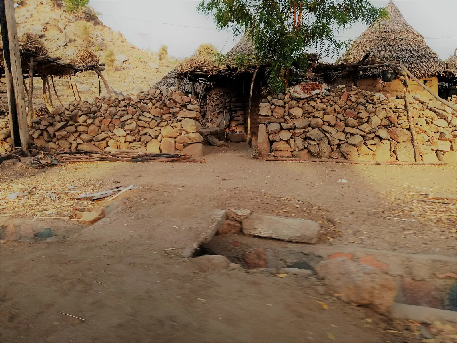
- Podoko plateau
- 600 to 700 m1
A Podoko clan and village
Oudjila, also written Ujila, is one of the four main clans or sections of the Podokwa, with the Mukulehe, the Tala Dabara and the Tala Sale, according to Bertrand Lembezat, a colonial administrator and ethnographer, writing in 1950. The Podokwa live on the northern massif west of Mora, a plateau of 600 to 700 m, in three cantons: Podoko-Nord, Podoko-Centre and Podoko-Sud. The administrative name is Podoko.1
With more than 140 people per km², Podoko is among the most densely settled parts of the northern Mandaras. Counts of the Podokwa vary: 11,030 in 1961, 9,600 in a 1984 study and 12,862 in a 1991 study. Their language, Parekwa, is classed by linguist Jean Barreteau (1984) as a dialect of East Wandala. Lembezat recorded that the Oudjila clan has twelve lineages, some from Mada, some from the Uldeme and others from Waza, an inselberg 60 km north of Mora.1
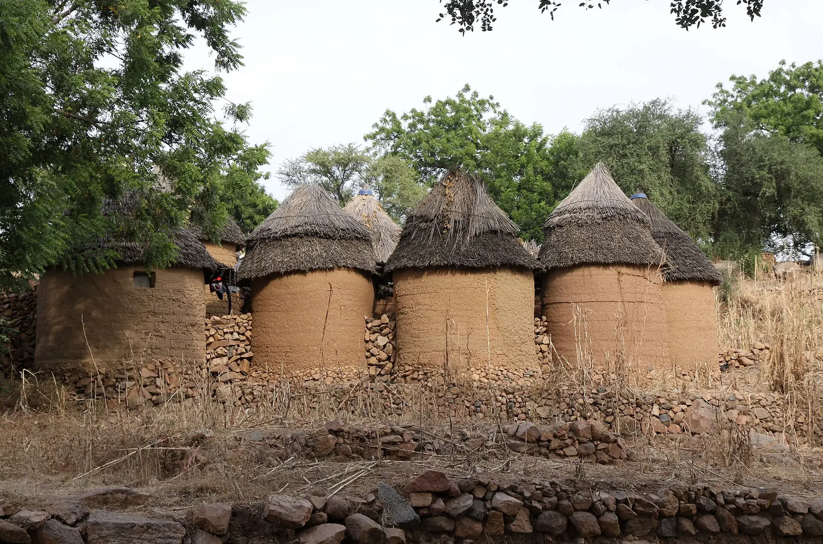
The village of Oudjila lies in Mora commune, in Mayo-Sava department. French Wikipedia places it about 5 km from Mora at an altitude of 572 m, while 2023 press reports put it about ten kilometres away. French Wikipedia also describes homes scattered along the ridges to save farmland, and slopes covered by terraces built over generations.2,3,4
The chief's compound
French Wikipedia, drawing on blogs and on a 1983 entry by geographer Christian Seignobos in an aerial atlas of Cameroon, describes the chief's compound, or saré, on a hilltop behind a high wall of fitted stones. Inside are the chief's house, with a room for the customary court, a prayer room and a room for a sacred ox, and the quarters of his wives, each with her own house, granary and kitchen. It says the chieftaincy is more than 500 years old, without citing a study for that figure. A Dutch tour operator also describes the chief's wives each living in their own section of the compound, and places the village at about 800 m.4,5
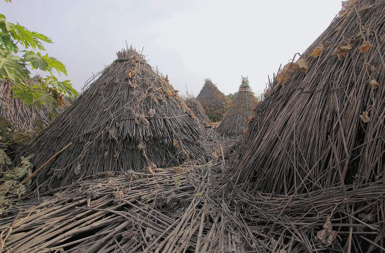
On 6 March 2023, a fire destroyed about a hundred houses in Oudjila. Cameroon Tribune and Journal du Cameroun both reported that the chieftaincy, which they called legendary, was also hit. Journal du Cameroun described it as in ruins, and Cameroon Tribune reported that art objects and ancestral treasures were lost and that nearly a thousand people were left without shelter. No later report on rebuilding was found.2,3
In pictures
Map
Still to confirm
Our sources can't yet confirm these points:
- The age of the chieftaincy; the figure of more than 500 years is not backed by a study.
- Whether the chief's compound was rebuilt after the March 2023 fire, and how much of it survived.
- The village's altitude (572 m, 600 to 700 m for the plateau, or about 800 m) and its distance from Mora (5 km or about 10 km).
- Christian Seignobos's 1983 atlas entry on the Oudjila chieftaincy, which could not be read.
Sources for this page
Information checked on 9 November 2026. It may have changed since.
- The Podokwa (Cameroon), mandaras.info, Gerhard Müller-Kosack (citing Lembezat 1950 and 1952, Hallaire 1991, Boulet et al. 1984 and Barreteau 1984) (undated)
- Extrême-Nord : une centaine de maisons consumées, Cameroon Tribune (10 March 2023)
- Cameroun-Extrême-Nord : un incendie détruit une centaine de cases (Paul Reinhard Wandji), Journal du Cameroun (9 March 2023)
- Oudjila, Wikipédia (citing blogs, the Mora commune profile and Seignobos 1983) (undated)
- Oudjilla, Untamed Travelling B.V. (Dutch tour operator; description only) (undated)
Far North Region
Capital: Maroua
Cameroon's northernmost region, where the Chad Plain meets the Mandara Mountains and more than 50 ethnic groups live. It holds the Diy-Gid-Biy World Heritage sites, Waza National Park and the craft traditions of Maroua, its capital.
More places in the Far North Region
Rhumsiki
A Kapsiki village of stone and thatch houses in the Mandara Mountains, set among volcanic peaks that include 1,224 m Kapsiki Peak.
Waza National Park
A national park and UNESCO biosphere reserve between Sahel and savanna, home to elephants, one of the last Kordofan giraffe populations and about 379 recorded bird species.
Marché central de Maroua
Maroua's central market, home to tanners, weavers, tailors, potters and blacksmiths, with a craft centre at its entrance since 1955.
Mandara Mountains
A volcanic range of terraced slopes and eroded peaks on the Cameroon-Nigeria border, home to the Diy-Gid-Biy cultural landscape, a World Heritage site since 2025.