- Major 20th-century eruptions
- Eight: 1909, 1922, 1925, 1954, 1959, 1982, 1999 and 20002
- Plants
- About 2,300 species, 49 found only here3
A volcano on the edge of the ocean
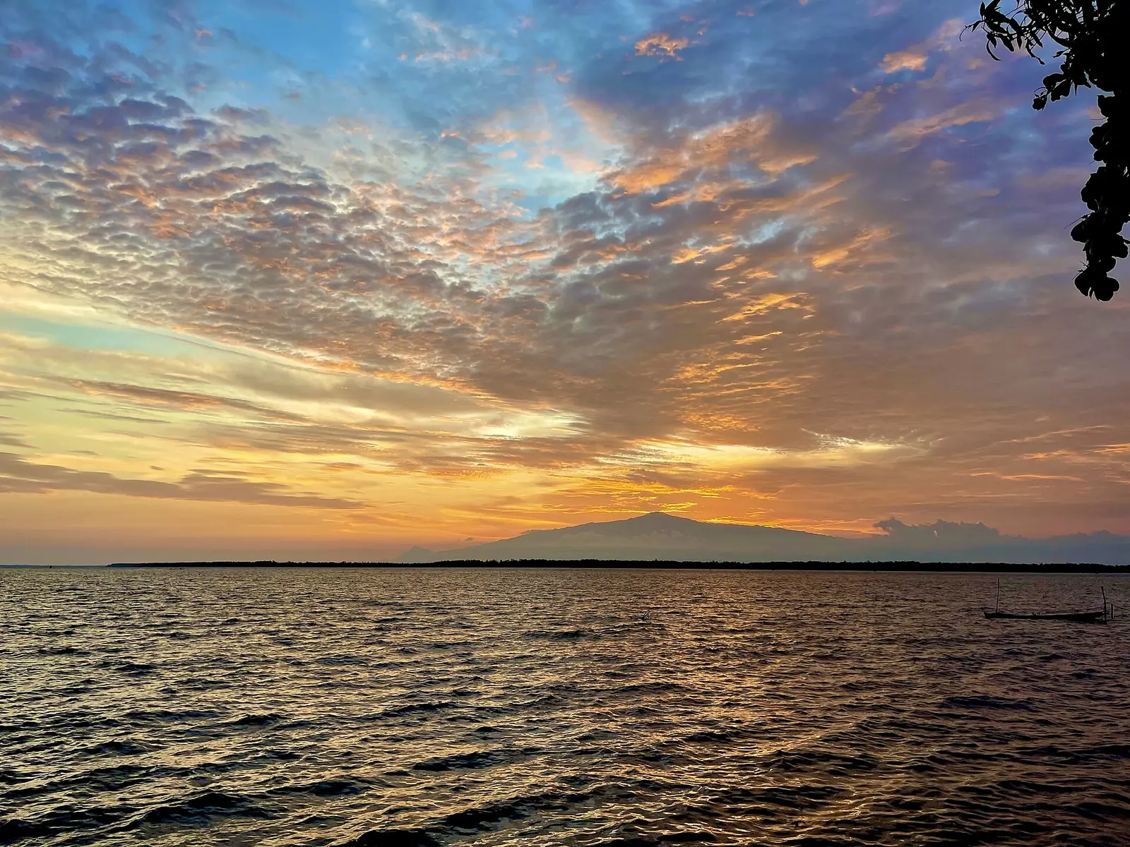
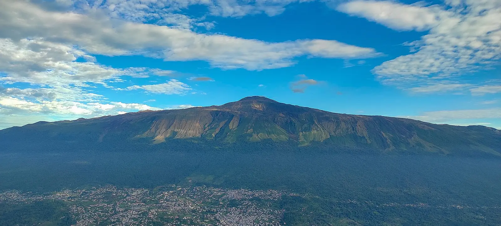
Mount Cameroon is an active stratovolcano and the highest point of western and central Africa south of the Sahara. It belongs to the Cameroon Volcanic Line, a belt of volcanoes about 1,600 km long, and rises straight from the Atlantic coast as an elliptical mass about 50 by 35 km, with a volume of roughly 1,200 km³. The International Union of Geological Sciences, which added it to its first list of 100 geological heritage sites in 2022, notes that it is one of the few volcanoes in the world that stand on the boundary between ocean and continent at a passive margin. Its flanks carry about 140 small cones, and two maars, Debundscha and Bomana, lie on its southwestern and northwestern slopes.1,2
Its height is not settled. Wikipedia gives 4,040 m and says the often-quoted 4,095 m does not fit satellite elevation data, while noting a hand-held GPS reading of 4,045 m in 2015. The IUGS description of 2022 still uses 4,095 m. Mary Kingsley, who climbed it in the 1890s, gave 13,760 feet. The higher of its two summits is called Fako. In Duala the mountain is Mongo ma Ndemi, often translated as 'mountain of greatness', and Kingsley recorded the name Mungo Mah Lobeh, which she rendered as 'Throne of Thunder'.1,2,5
A century of eruptions
The IUGS counts eight major eruptions in the twentieth century, in 1909, 1922, 1925, 1954, 1959, 1982, 1999 and 2000, some of them accompanied by strong earthquakes; about 200 were recorded in 24 hours during the 1999 eruption. During the 1909 eruption the German colonial government temporarily left Buea, and in 1922 a flank eruption sent lava to the Atlantic coast. The most recent event listed by Wikipedia is a brief explosive eruption on 3 February 2012.1,2
The 1999 eruption, from 28 March to 22 April, is the best studied. A 2018 study by researchers from the University of Buea and European universities describes vents opening at two sites, a more explosive one at 2,650 m and a more effusive one at 1,500 m. A lava flow about 9.2 km long from the lower site cut the only coastal highway and led to the evacuation of about 600 residents of Bakingili. Ash and ballistic fragments contaminated plants and water, and the study concludes that the long-term effects on four coastal communities, Batoke, Bakingili, Debundscha and Idenau, were more serious than the immediate damage.4
From rain forest to sub-alpine grassland
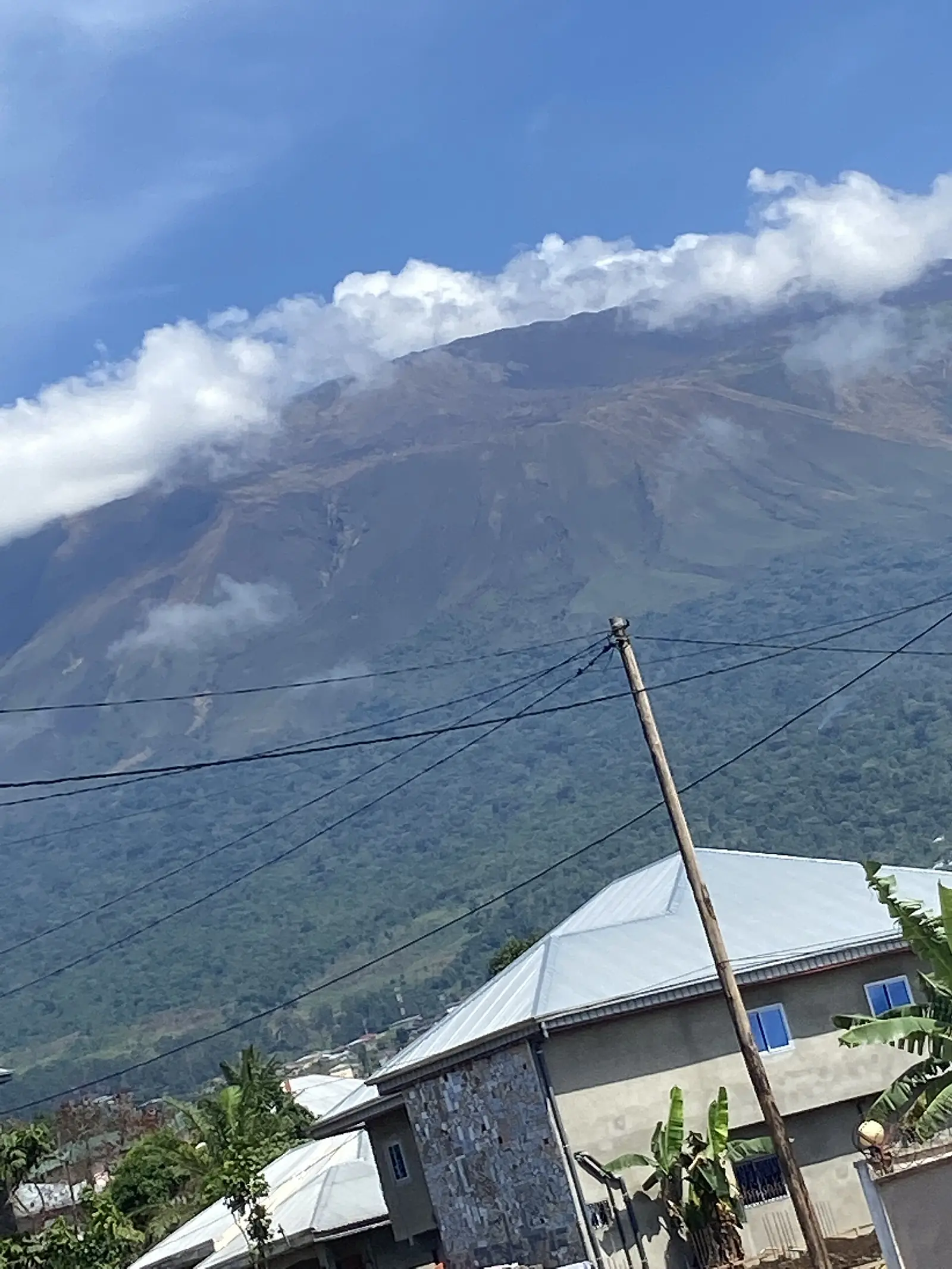
The mountain makes its own climate. A WWF fact sheet on the national park reports annual rainfall of more than 10,000 mm at Cape Debundscha on the western side, against less than 2,000 mm in the northeast, with heavy rains from June to October, and temperatures from 32°C in Limbe to 4°C at the summit. Vegetation changes with height: lowland rain forest up to about 800 m, cloud forest from 800 to 1,600 m, upper montane forest and then scrub up to about 2,400 m, montane grassland between 2,000 and 3,000 m, and sub-alpine grassland of frost-tolerant grasses and lichens above that.3,1
The same fact sheet counts about 2,300 plant species, 49 of them strictly endemic and 50 near-endemic, 210 bird species, eight of them threatened, and 70 butterflies, three of them endemic. Twenty of the 28 restricted-range birds of the Cameroon Mountains Endemic Bird Area occur here, including two found only on this mountain, the Mount Cameroon francolin (or spurfowl) and the Mount Cameroon speirops. Wikipedia reports more than 100 forest elephants, along with chimpanzees, drills, red-capped mangabeys and several guenons.3,1
People and the park
WWF put the population around the mountain at about 300,000, two-thirds of them in towns, living in a ring around its foot with no permanent settlement above 1,500 m; food-crop farming is the main livelihood. Mount Cameroon National Park covers 58,178 ha, including the former Etinde Forest Reserve and most of the Bomboko Forest Reserve. WWF gave its creation as December 2009, pending the decree, and Wikipedia also gives 2009, while the Columbia Encyclopedia says 2010. WWF listed land clearance for farming, logging, hunting, bush fires and fuelwood collection as threats, besides forest lost to lava during eruptions.3,1,6
Early ascents
Wikipedia credits the missionary Joseph Merrick with the first recorded ascent, in the 1840s. Writing in 1897, Kingsley described Richard Burton's 'first successful attempt' on the summit in 1862 with the botanist Mann and Señor Calvo, and noted that Mann claimed to have reached the top a few days before the others, a claim Burton doubted. Kingsley's own climb, recounted in four chapters of Travels in West Africa, reached the summit crater through a break in its southeastern wall.1,5
In pictures
Map
Still to confirm
Our sources can't yet confirm these points:
- The summit height: 4,040 m, 4,045 m and 4,095 m are all published, and the Smithsonian Global Volcanism Program page could not be opened.
- The date of the national park decree: December 2009 (WWF, pending decree) or 2010 (Columbia Encyclopedia).
- Current species counts and IUCN status for the two endemic birds; the WWF figures date from about 2010.
- Whether any activity has occurred since the 2012 eruption.
- A scholarly source on Bakweri beliefs about the mountain; the thesis found could not be opened.
Sources for this page
Information checked on 9 November 2026. It may have changed since.
- Mount Cameroon, Wikipedia (undated)
- The First 100 IUGS Geological Heritage Sites, site 052: The Quaternary Cameroon Volcano, International Union of Geological Sciences (2022)
- Fact sheet: Mount Cameroon National Park, WWF (28 January 2010)
- Forensic assessment of the 1999 Mount Cameroon eruption, West-Central Africa (Wantim et al., abstract; Journal of Volcanology and Geothermal Research 358: 13-30, DOI 10.1016/j.jvolgeores.2018.06.007), East Tennessee State University repository (2018-06)
- Travels in West Africa, chapters XVII to XX and note 439 (Mary H. Kingsley), Project Gutenberg (first published by Macmillan, 1897) (1897)
- Cameroon, Mount, The Columbia Encyclopedia, 6th edition, on Encyclopedia.com (undated)
Southwest Region
Capital: Buea
A region running from the Gulf of Guinea coast up Mount Cameroon, an active volcano, with Buea, the former German colonial capital, as its capital.
More places in the Southwest Region
Limbe Botanic Garden
Founded in 1892 as a colonial trial garden between the ocean and Mount Cameroon, it now keeps about 1,500 kinds of plants and a herbarium of some 30,000 specimens.
Limbe Wildlife Centre
Set up in 1993 in the old Victoria Zoo, this sanctuary cares for gorillas, chimpanzees and drills rescued from the bushmeat and pet trades.
Black Sand Beaches of Limbe
Beaches of dark sand on the Atlantic at Limbe, formed mainly from the basalts of the Cameroon Volcanic Line, with Mount Cameroon behind the town.
Mount Cameroon Race of Hope
An annual race from Buea to the summit of Mount Cameroon and back, run since the 1970s, whose record of 3 h 46 min has stood since 1987.