- Age
- Eruptions dated at about 650,000 years ago3
Little Mount Cameroon
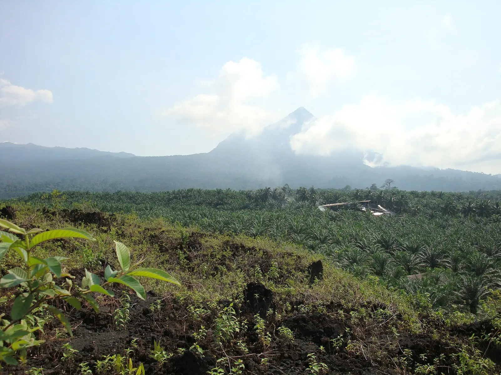
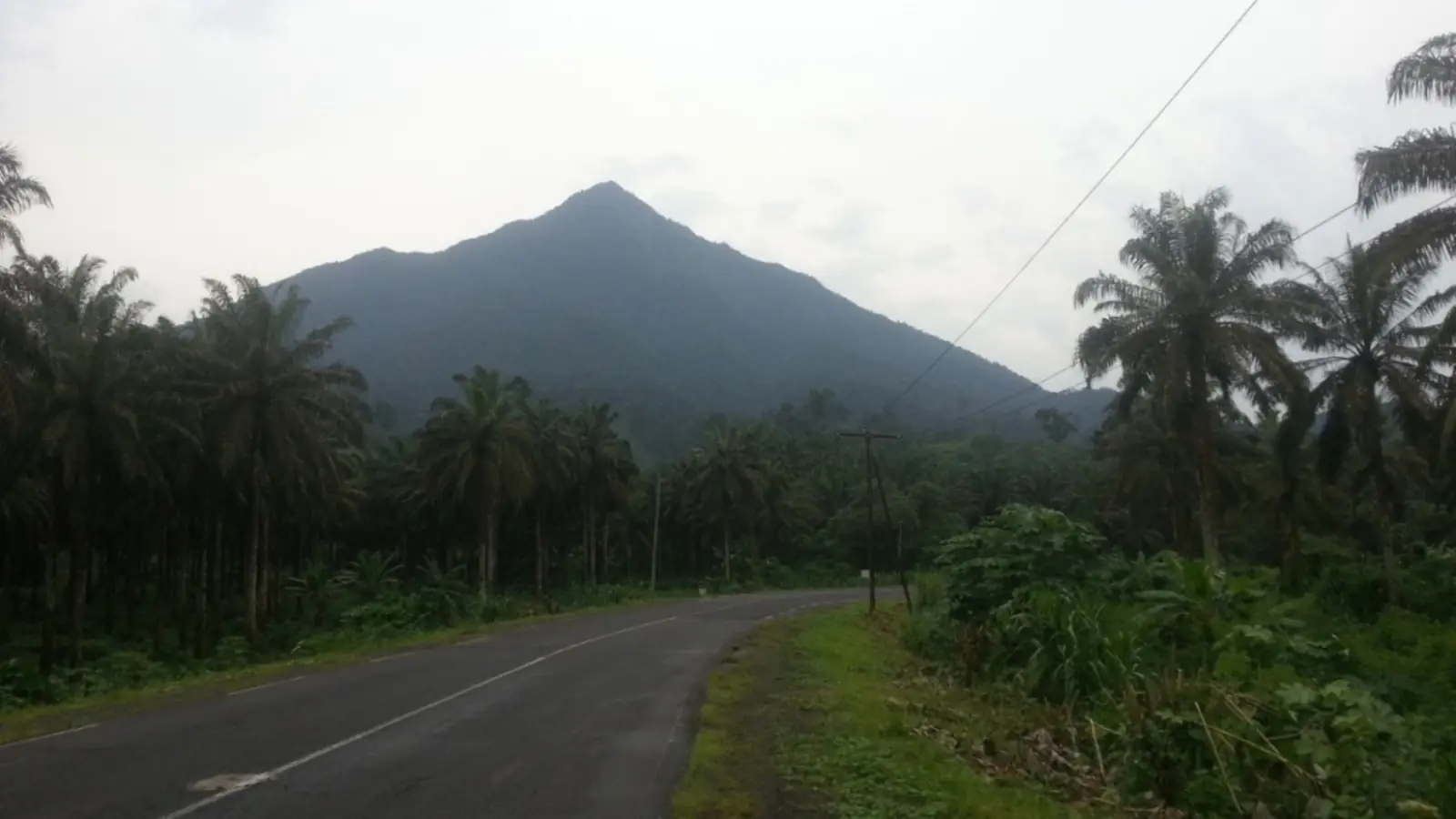
Etinde, also called Little Mount Cameroon, is a volcanic peak of 1,713 m on the southwestern flank of Mount Cameroon. Wikipedia classes it as a subsidiary vent of the larger volcano. Mary Kingsley, writing in 1897, called it Mungo Mah Etindeh and gave its height as 5,820 feet. She said it had not yet been climbed, because those who came to climb mountains made for the higher peak and because Etinde was mostly sheer cliff, covered from foot to summit in almost impenetrable forest. She quoted Richard Burton's phrase for it, 'the awful form of Little Cameroon'.1,2,5
An unusual volcano
Geologists study Etinde because its rock is unlike that of its neighbour. A 1995 paper in the Journal of Petrology dates its eruptions to about 650,000 years ago, within Mount Cameroon's eruptive cycle, but finds its lavas unrelated to the alkali basalts of the big volcano. They are nephelinites, extremely poor in silica and rich in volatiles and in elements such as barium, strontium and zirconium. The IUGS, in its 2022 list of geological heritage sites, singles Etinde out as built entirely of such rock.3,2
A 2025 study in Chemical Geology describes Etinde as a relatively young volcano, less than a million years old, at the centre of the Cameroon Volcanic Line on the boundary between continent and ocean, and as the most silica-poor and element-enriched volcano in the region. Its sulfur isotopes, the first measured on the line, point to a mantle source altered by carbonate-rich fluids and supplied with sulfur through subduction, which bears on the open question of what drives volcanism along the line.4
Part of the national park
The former Etinde Forest Reserve is now part of Mount Cameroon National Park. Among the plants Wikipedia lists for the mountain's lower montane forest is the endemic balsam Impatiens etindensis.6
In pictures
Map
Still to confirm
Our sources can't yet confirm these points:
- Which flank Etinde stands on: Wikipedia says southern, the IUGS and the 1995 paper say southwestern.
- When Etinde was first climbed; Kingsley said in 1897 that it had not been.
- The age: about 650,000 years (1995 paper) against 'less than a million years' (2025 paper); the Smithsonian Global Volcanism Program page could not be opened.
- Plants and animals recorded on Etinde itself, rather than on Mount Cameroon in general.
Sources for this page
Information checked on 9 November 2026. It may have changed since.
- Little Mount Cameroon, Wikipedia (Last edited 2025-12-07)
- The First 100 IUGS Geological Heritage Sites, site 052: The Quaternary Cameroon Volcano, International Union of Geological Sciences (2022)
- Petrology of Mt Etinde nephelinite series (Nkoumbou, Déruelle and Velde; abstract read through OpenAlex; DOI 10.1093/petrology/36.2.373), Journal of Petrology (1995)
- Isotopically heavy sulfur in nephelinite from Etinde, Cameroon Volcanic Line: implications for the origin of intraplate magmatism (Baldwin et al.; abstract read through OpenAlex; DOI 10.1016/j.chemgeo.2025.122748), Chemical Geology (2025)
- Travels in West Africa, chapter XVII (Mary H. Kingsley), Project Gutenberg (first published by Macmillan, 1897) (1897)
- Mount Cameroon, Wikipedia (undated)
Southwest Region
Capital: Buea
A region running from the Gulf of Guinea coast up Mount Cameroon, an active volcano, with Buea, the former German colonial capital, as its capital.
More places in the Southwest Region
Mount Cameroon
An active volcano rising from the Atlantic shore to the highest point of western and central Africa, with forests, grasslands and wildlife found nowhere else.
Limbe Botanic Garden
Founded in 1892 as a colonial trial garden between the ocean and Mount Cameroon, it now keeps about 1,500 kinds of plants and a herbarium of some 30,000 specimens.
Limbe Wildlife Centre
Set up in 1993 in the old Victoria Zoo, this sanctuary cares for gorillas, chimpanzees and drills rescued from the bushmeat and pet trades.
Black Sand Beaches of Limbe
Beaches of dark sand on the Atlantic at Limbe, formed mainly from the basalts of the Cameroon Volcanic Line, with Mount Cameroon behind the town.