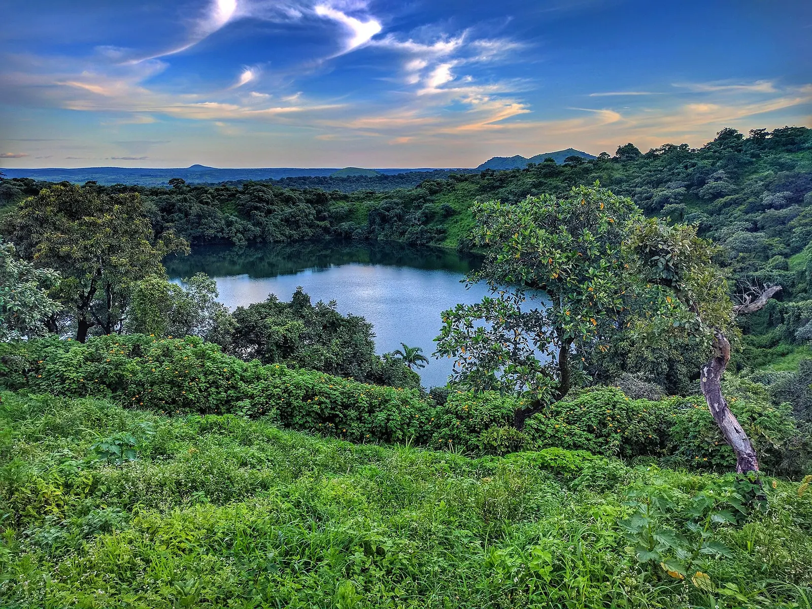
A crater lake on the edge of Ngaoundéré
Lake Tison, also written Tizong or Tyson, fills an old volcanic crater on the Adamawa plateau, close to Ngaoundéré. It belongs to the Sanaga basin, and no river flows out of it.1,2,5
The lake is small and round. Its mapped outline measures about 340 m at its longest and roughly 0.065 km², in line with the 300 m width usually quoted. One study gives an area of 0.8 km², which doesn't match that outline, so we don't use it. The crater rises to about 1,260 m, some 100 m above the water.1,2,3
A 4,000-year record in the mud
Scientists study the lake because its bed preserves the past. Pollen in its sediments covers about 4,000 years and shows forest giving way to savanna on the plateau around 3,000 years ago, with a brief return of forest about 1,000 to 700 years ago. The researchers say it's hard to separate the effects of climate from those of people.1
Its water is studied too. Sampling from November 2018 to January 2020 identified 15 species of tiny planktonic crustaceans.4
What to do
The main draw is the walk around the lake, with its trees and quiet, and a wide view over Ngaoundéré from the heights above. It also makes a good picnic stop. A local guide notes a legend about the water changing colour, though it suggests the surrounding trees are the more likely explanation.6,7,9
One listing also mentions pirogue rides and swimming. We found no safety information about swimming here, so ask locally before going in.7
How to get there
From Ngaoundéré, take the N1 towards Meiganga. About 3 km past the southern edge of town, a sign marks a track that climbs the mountainside for about 3 km to the site. Published distances from town range from 8 to 10 km. In 2011 the track was badly rutted and hard to use in the rainy season, and a 2012 survey listed it as passable by motorbike and car, so check its condition first.1,5,6,10
To reach Ngaoundéré, Camrail runs a daily overnight train from Yaoundé, with seats and couchettes, and buses and private taxis come from Douala and Yaoundé. The city's airport has no scheduled services, according to this guide. The nearest is at Garoua, about four hours north by bus.8
Costs and facilities
Sources disagree, so treat these as a guide only. In 2011, the walk around the lake officially cost 1,000 FCFA, though charging depended on the bar staff. An undated listing says entry is free, with a charge for pirogue hire, and that there's parking but no food service. Other sources mention a bar or restaurant-bar on site. Bring your own food and water, and some cash.2,6,7
When to go
Where to stay
Ngaoundéré is the practical base. Wikivoyage describes Hotel Transcam as one of the better hotels in town, with prices from 30,000 FCFA a night as of October 2017.8
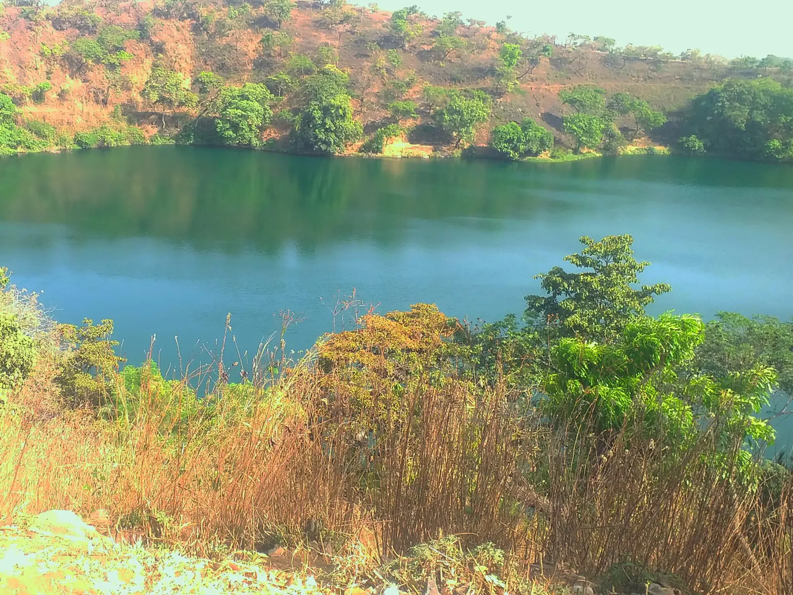
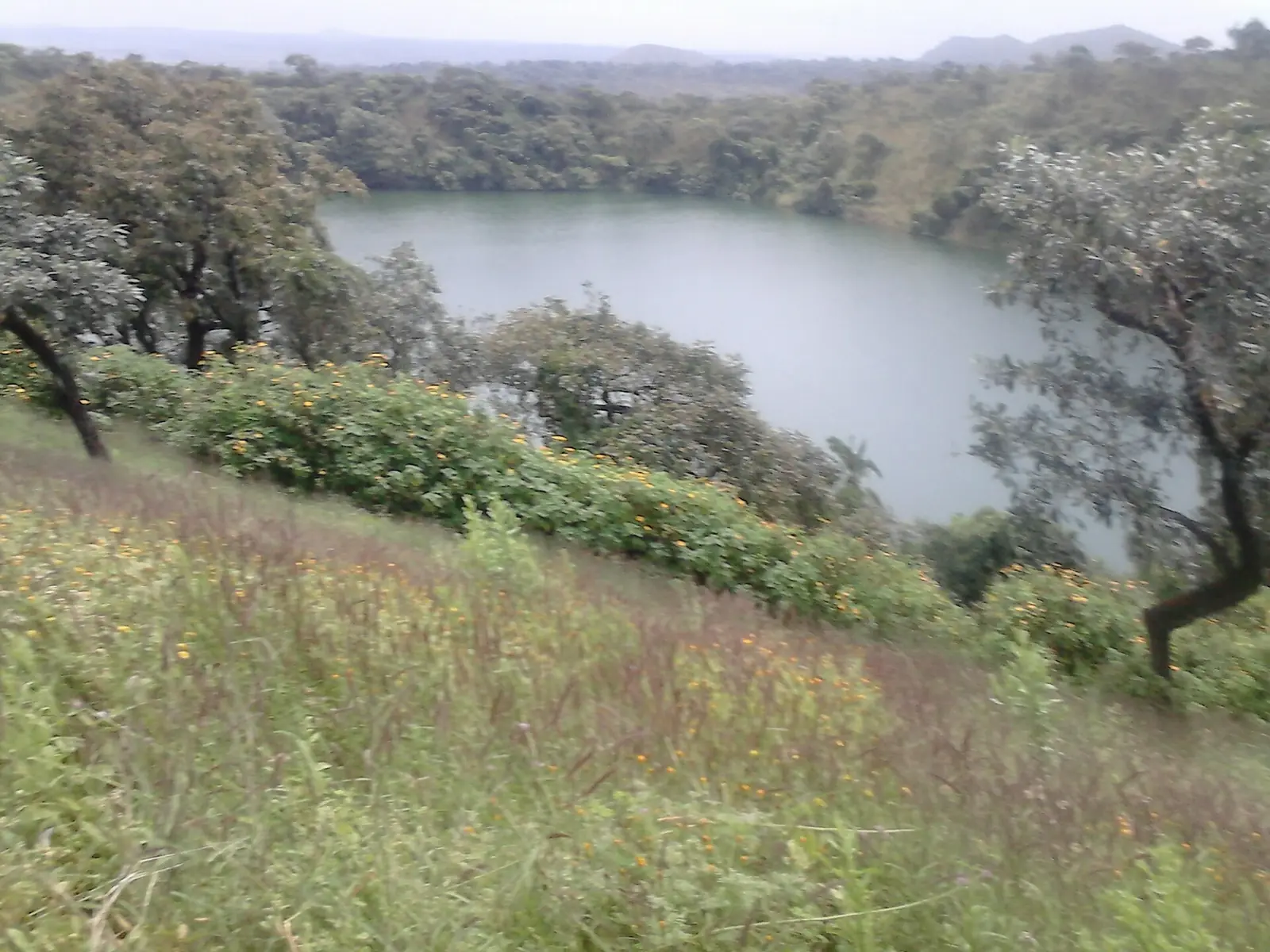
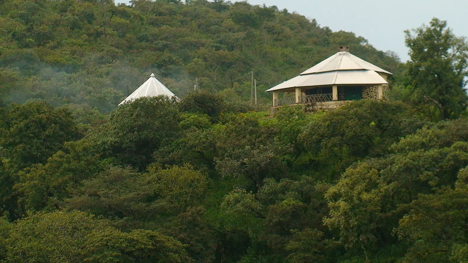
In pictures
Map
What visitors say
We summarise accounts published elsewhere and link to the original. These aren't reviews collected by this site, and we don't show a rating.
Finds the lake easy to visit and a good escape from the noise and bustle of the city, with a panoramic view.
Alicia Ortego, MonNuage, Undated
Enjoys the calm of the walk and the view, but suggests it mainly if you have spare time in Ngaoundéré or want a picnic spot, and warns about the track.
Découverte du Cameroun, May 2011
Check before you go
Our sources can't yet confirm these points:
- The current entry fee and opening hours
- A contact for the site
- The track's condition today, by season
- Whether the bar and pirogue hire are operating, and whether you can stay at the lake
- Whether swimming is safe and allowed
Also nearby
Sources for this page
Information checked on 6 November 2026. It may have changed since.
- Forest-savannah dynamics on the Adamawa plateau: a pollen record from Lake Tizong, Lebamba et al., White Rose Research Online (undated)
- Lac Tison, Wikipédia (16 October 2025)
- Lac Tizong, map outline measured by us on 6 November 2026, OpenStreetMap (undated)
- Diversity of Zooplanktonic Crustaceans in a Soudano Guinean Crater Lake: Tison Lake, Nguiema et al., Open Access Library Journal (2025)
- Le tourisme dans le département de la Vina : mythe ou réalité ?, Harry Sadio Fopa, master's thesis, Université de Ngaoundéré (2012)
- Lac Tison, Découverte du Cameroun (5 May 2011)
- Lac Tison, Ayila'a listing (undated)
- Ngaoundéré, Wikivoyage (26 March 2026)
- Lac Tison, MonNuage (undated)
- Le tourisme dans le département de la Vina, annexe I, Harry Sadio Fopa, master's thesis, Université de Ngaoundéré (2012)
Enquire about Lake Tison
Visit Lake Tison
Plan your trip to Lake Tison in the Adamawa Region. Send us an enquiry about guided tours, accommodation and transport, and we'll reply by email.
Send an enquiryAdamawa Region
Capital: Ngaoundéré
A high plateau of grassland and savanna between Cameroon's forested south and savanna north, with crater lakes, waterfalls and a long tradition of Fulbe cattle herding. Its capital, Ngaoundéré, is the end of the railway from Yaoundé.
More places in the Adamawa Region
Tello Waterfalls
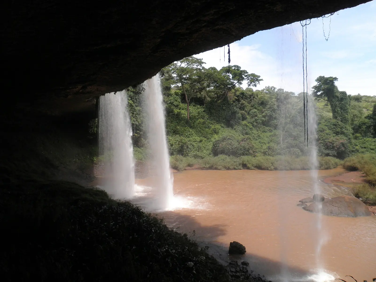
A waterfall about 40 km east of Ngaoundéré, where the Tello river drops off a table of rock in front of a large cavern. Kew records six globally threatened plant species here.
Lamido's Palace of Ngaoundéré (Lamidat)
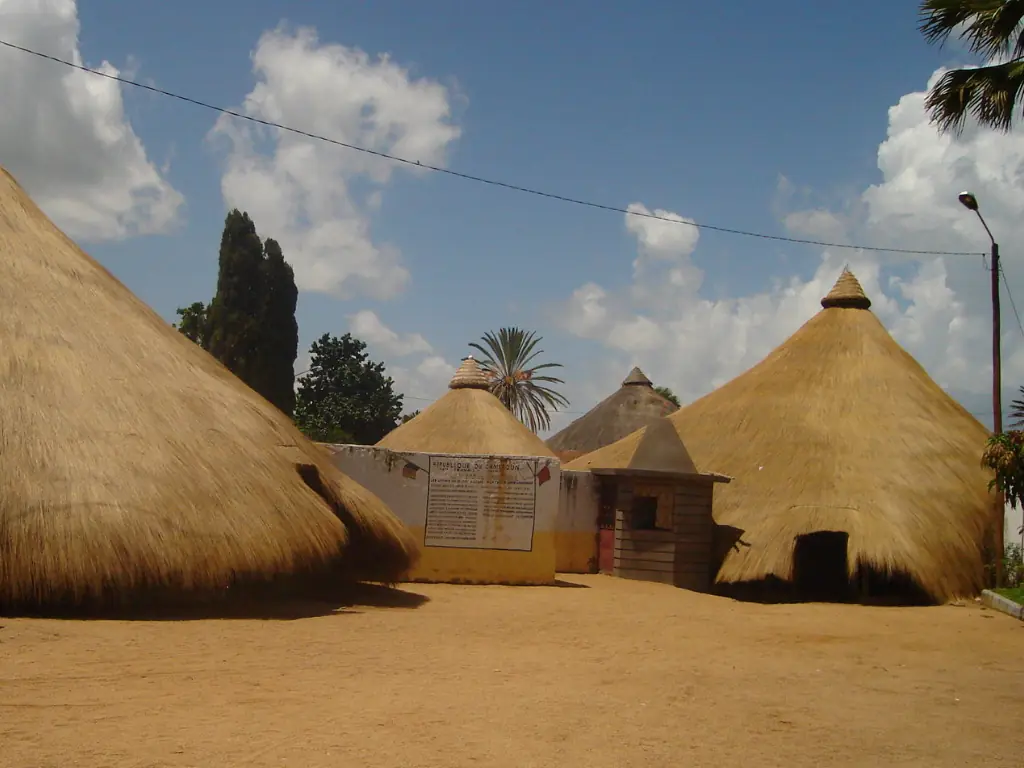
The seat of the Lamido in central Ngaoundéré, a walled palace from the late 19th century with thatched halls behind a cement entrance rebuilt after a 1993 fire. Guided visits are reported.
Vina Falls
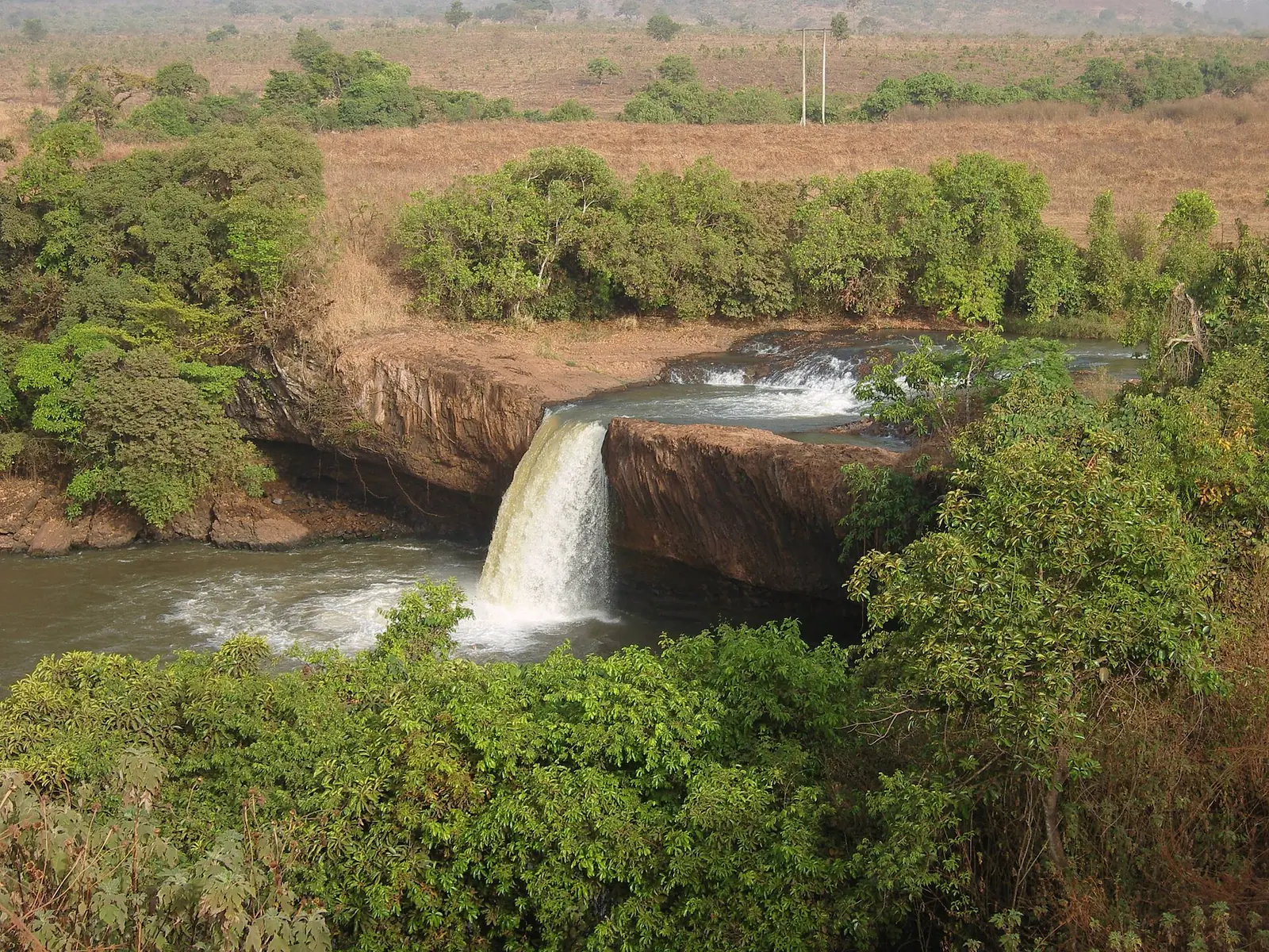
A waterfall on the Vina river, about 15 km south of Ngaoundéré on the Meiganga road. Sources give its height as 30 or 40 m.
Tchabal Mbabo
The highest point on the Adamawa Plateau, close to the Nigerian border. Its steep north-facing slopes hold Cameroon's northernmost montane cloud forest, above a cool, grassy plateau grazed by Mbororo herds.