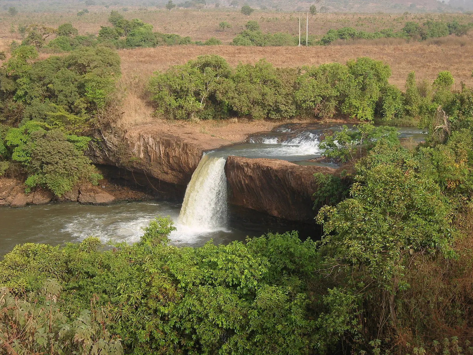
A waterfall south of Ngaoundéré
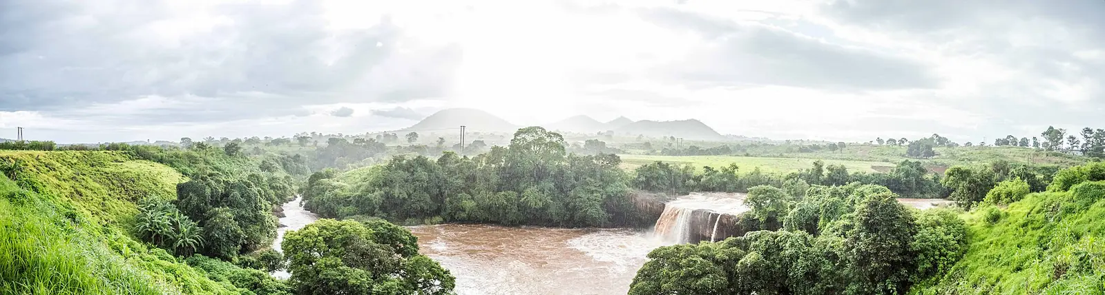
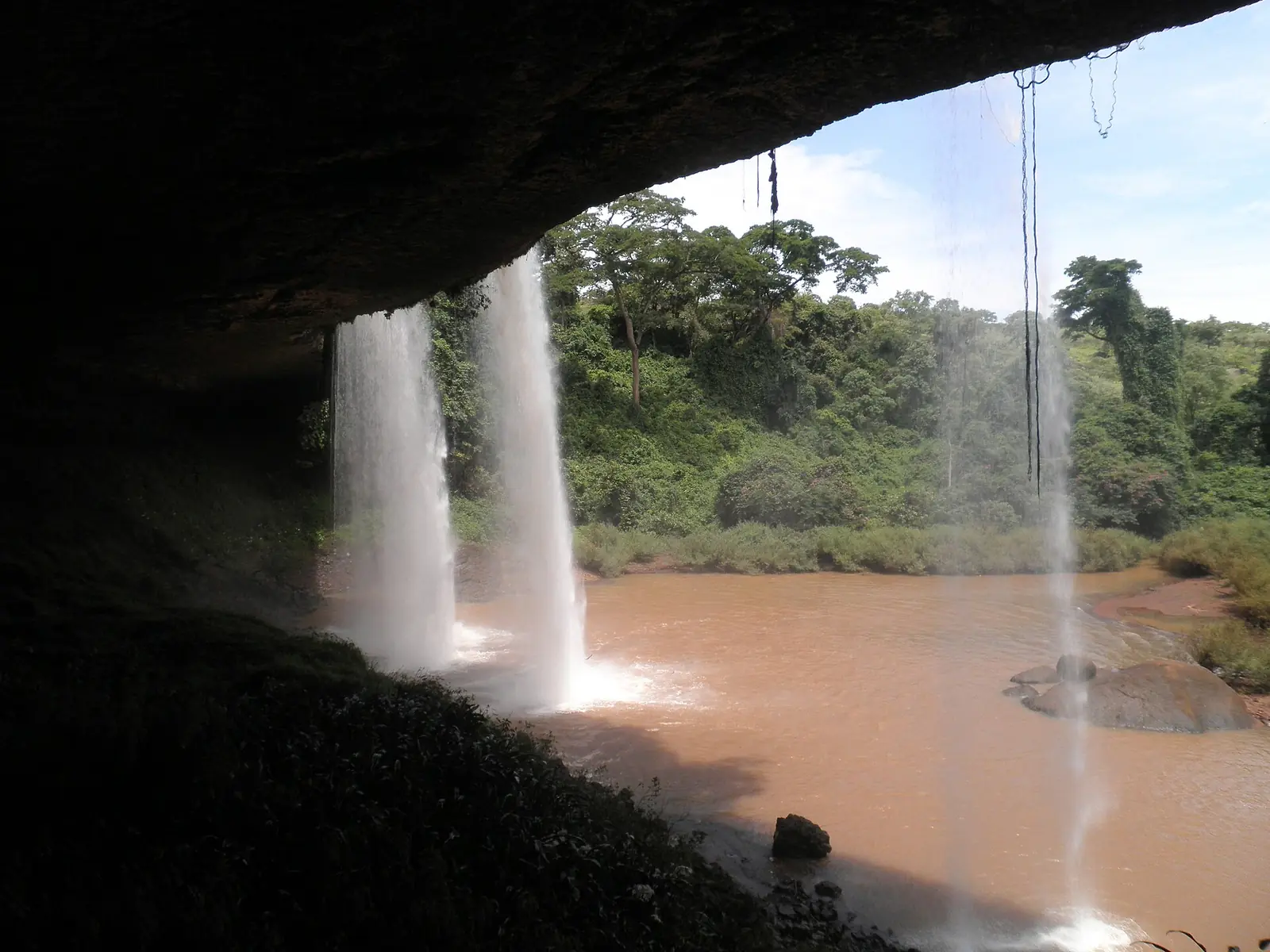
The Vina Falls lie south of Ngaoundéré, near the village of Vina Lah, on the river of the same name. A 2012 University of Ngaoundéré thesis describes the water dropping in free fall to rejoin its bed below, and links the falls of this plateau to its faults and abrupt slopes.2
Sources disagree on the height. The thesis gives 30 m, while a Wikivoyage listing updated in October 2025 gives 40 m. We found no survey that settles it.1,5
What to see
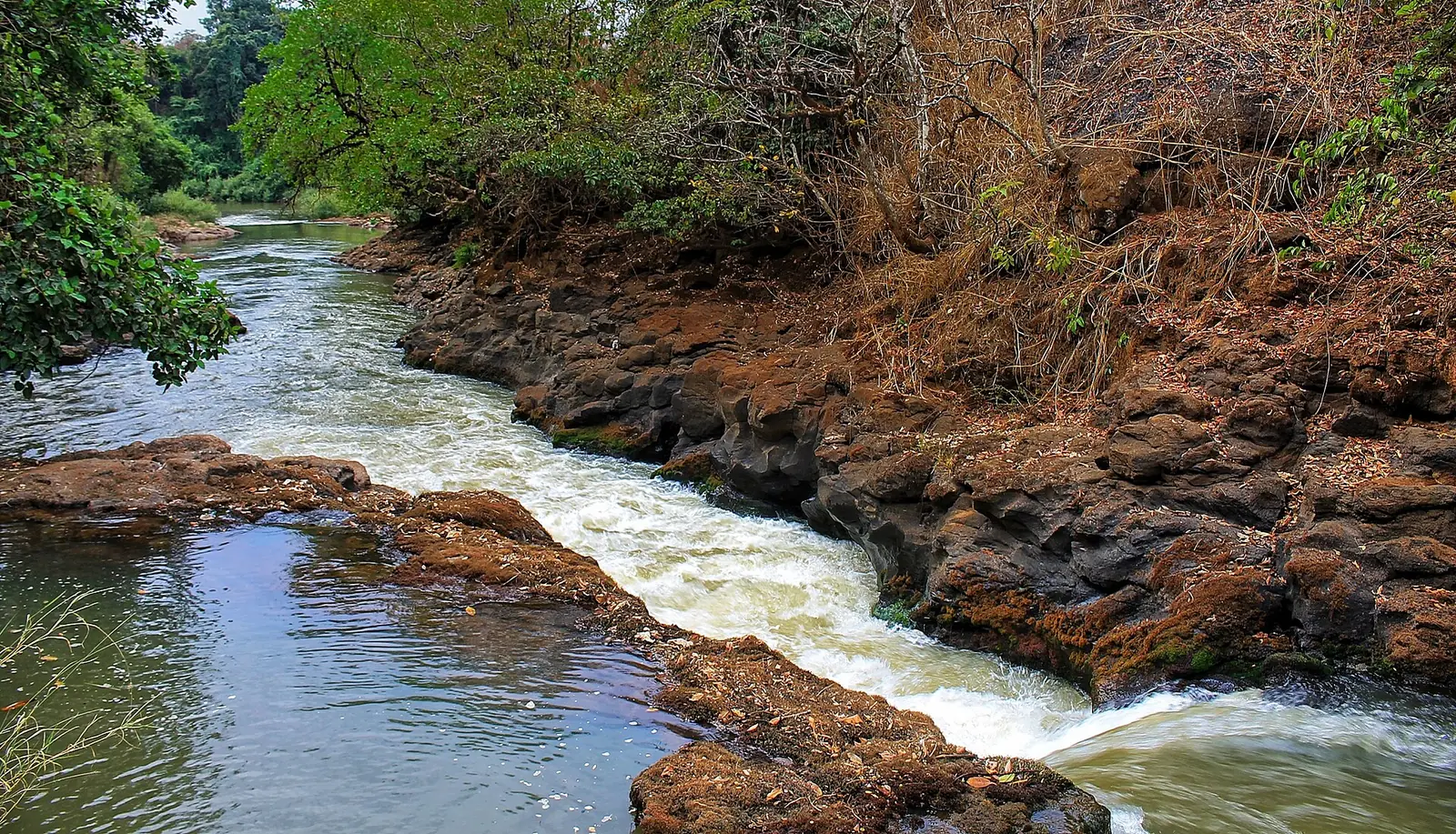
The falls are the reason to come. A travel blog updated in November 2026 describes the river dropping in broad steps and suggests the spot for a picnic in the rainy season. The thesis also lists a hot spring, Laouré Vina, at the foot of the falls, with water at 35 °C rich in sodium, calcium and magnesium. It gives that spring's distance from town as 11 km against 15 km for the falls, so ask locally where it is.1,6
It seems to be a quiet site. In the thesis's 2012 survey, the falls were less visited and less well known among city residents than Lake Tison or the Tello Falls, and none of the 24 tourists questioned had been there.4
How to get there
From Ngaoundéré, follow the N1 south towards Meiganga for about 15 km. Wikivoyage gives 25 to 30 minutes by car. The travel blog suggests hiring a motorbike for about €10 to €14 including waiting time (2026), and warns that the dirt road is slow after rain, so leave early.5,6
The state of the last stretch is unclear. One part of the 2012 thesis lists the falls as reachable by motorbike and car at any time, while another names them among sites that are very hard to reach or have no proper access. Check before you set off.1,3
To reach Ngaoundéré, Camrail runs a daily overnight train from Yaoundé, with seats and couchettes, and buses and private taxis come from Douala and Yaoundé. According to Wikivoyage, the city's airport has no scheduled services, and the nearest is at Garoua, about four hours north by bus.5
Costs and when to go
Where to stay
Ngaoundéré is the practical base. Wikivoyage describes Hotel Transcam as one of the better hotels in town, with prices from 30,000 FCFA a night as of October 2017.5
In pictures
Map
What visitors say
We summarise accounts published elsewhere and link to the original. These aren't reviews collected by this site, and we don't show a rating.
We haven't yet found a published visitor account for this place.
Check before you go
Our sources can't yet confirm these points:
- The height of the falls, measured
- Whether an entry fee is charged, and how much
- The condition of the road and the last stretch, by season
- A contact for the site
- The exact location of the Laouré Vina hot spring, and whether it can be visited
- Whether swimming is safe and allowed
Also nearby
Sources for this page
Information checked on 6 November 2026. It may have changed since.
- Le tourisme dans le département de la Vina, annexe I, Harry Sadio Fopa, master's thesis, Université de Ngaoundéré (2012)
- Le tourisme dans le département de la Vina : lacs, chutes et cascades, Harry Sadio Fopa, master's thesis, Université de Ngaoundéré (2012)
- Le tourisme dans le département de la Vina : accès aux sites, Harry Sadio Fopa, master's thesis, Université de Ngaoundéré (2012)
- Le tourisme dans le département de la Vina : fréquentation des sites, Harry Sadio Fopa, master's thesis, Université de Ngaoundéré (2012)
- Ngaoundéré, Wikivoyage (26 March 2026)
- Visit Ngaoundéré, Johan Kruseman, Take Your Backpack (travel blog) (1 November 2026)
Enquire about Vina Falls
Visit Vina Falls
Plan your trip to Vina Falls in the Adamawa Region. Send us an enquiry about guided tours, accommodation and transport, and we'll reply by email.
Send an enquiryAdamawa Region
Capital: Ngaoundéré
A high plateau of grassland and savanna between Cameroon's forested south and savanna north, with crater lakes, waterfalls and a long tradition of Fulbe cattle herding. Its capital, Ngaoundéré, is the end of the railway from Yaoundé.
More places in the Adamawa Region
Tello Waterfalls
A waterfall about 40 km east of Ngaoundéré, where the Tello river drops off a table of rock in front of a large cavern. Kew records six globally threatened plant species here.
Lamido's Palace of Ngaoundéré (Lamidat)
The seat of the Lamido in central Ngaoundéré, a walled palace from the late 19th century with thatched halls behind a cement entrance rebuilt after a 1993 fire. Guided visits are reported.
Lake Tison
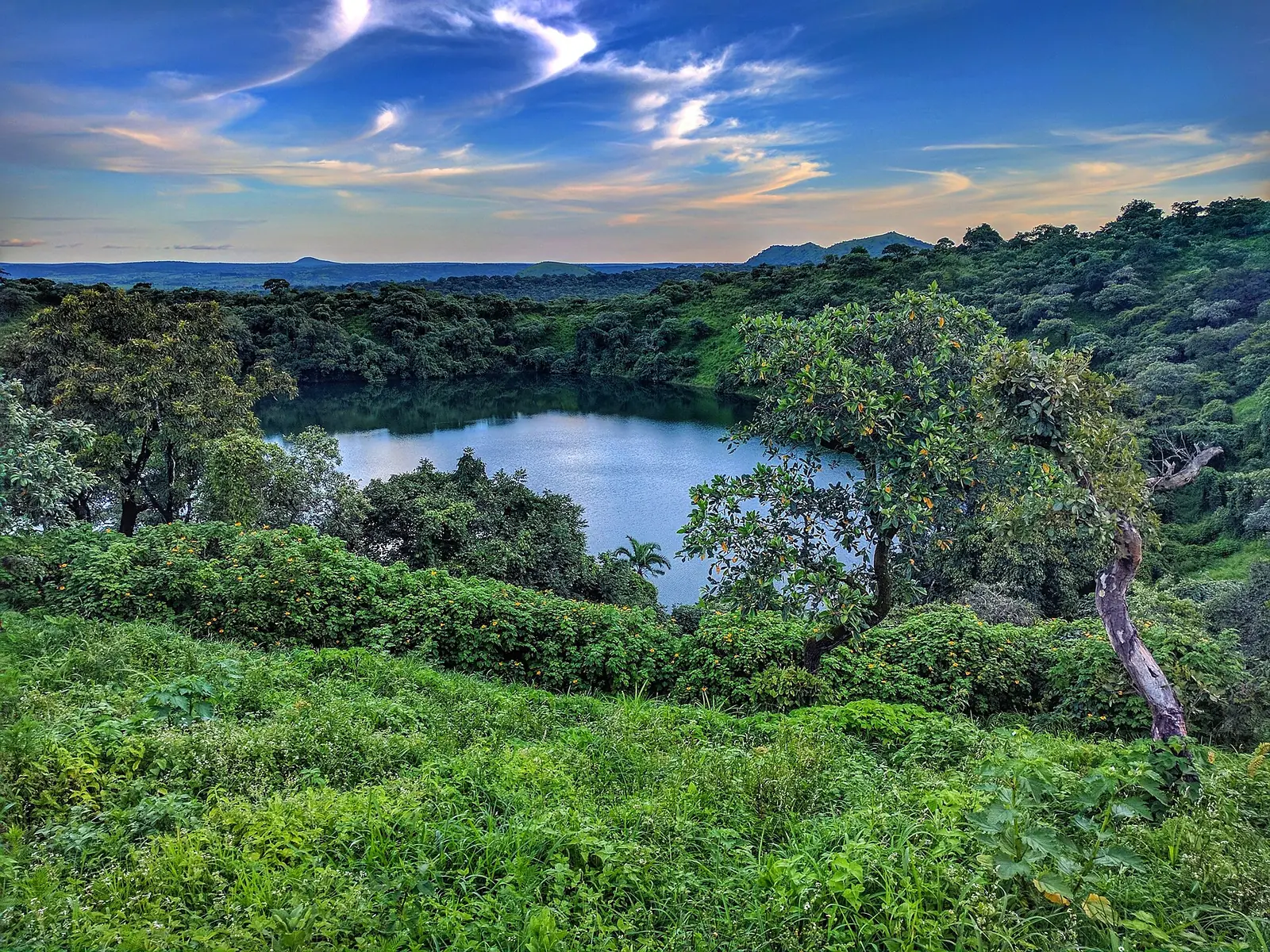
A crater lake of about 300 m across and up to 48 m deep, some 8 to 10 km from Ngaoundéré. It has no outflow, and a path leads around its shore, with views over the city.
Tchabal Mbabo
The highest point on the Adamawa Plateau, close to the Nigerian border. Its steep north-facing slopes hold Cameroon's northernmost montane cloud forest, above a cool, grassy plateau grazed by Mbororo herds.