- Source altitude
- About 1,340 m1
- High water
- July to October, peaking in August or September3
- Hippos in the national park
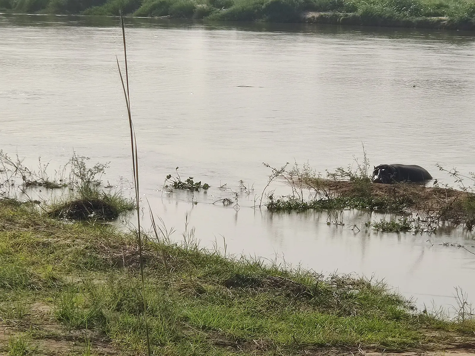
- 188 counted in 2013, down from 400 in 19874
From the plateau to the Niger
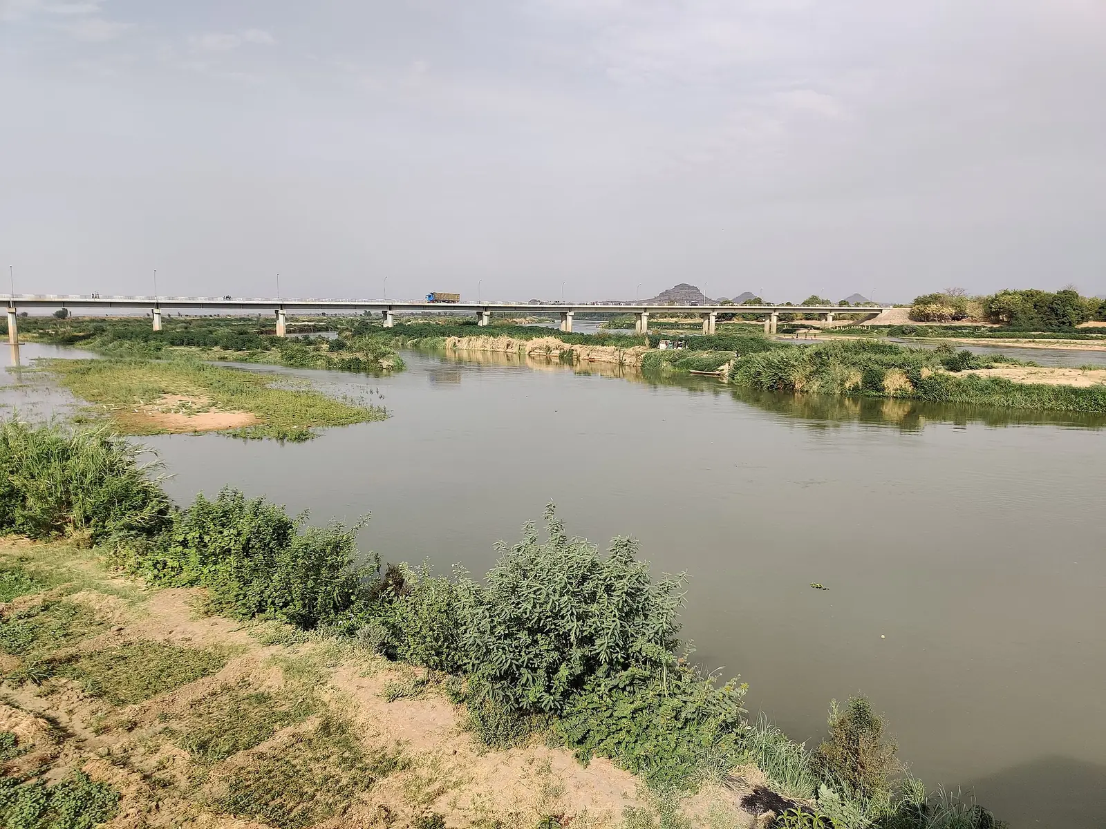
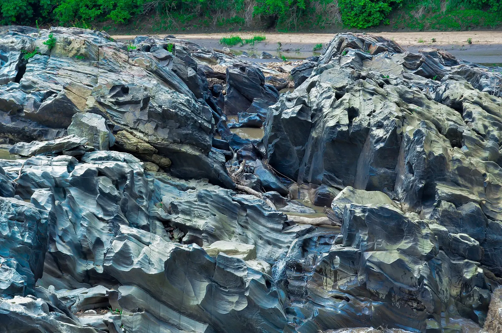
The Bénoué, called the Benue in Nigeria, is the longest tributary of the Niger. It rises in northern Cameroon at about 1,340 m and drops more than 600 m over falls and rapids in its first 240 km. It then runs along Bénoué National Park, through the Lagdo Reservoir and past Garoua before crossing into Nigeria and joining the Niger at Lokoja.1,4,7
Its stated length varies widely: about 1,083 km in Britannica, about 1,400 km from the FAO and Wikipedia, and 1,440 km in Wikipedia's data box. During floods, the Mayo-Kébi tributary links it to the Logone, which flows to Lake Chad.1,2,7
A river of two seasons
The Bénoué rises and falls with the rains. A 2002 study gives high water from July to October and low water from January to May, with the lowest flow in April. The peak on record it cites at Garoua is 6,130 m³ per second, on 26 August 1948. In the dry season, many of the region's rivers almost vanish into their sandy beds.3,5
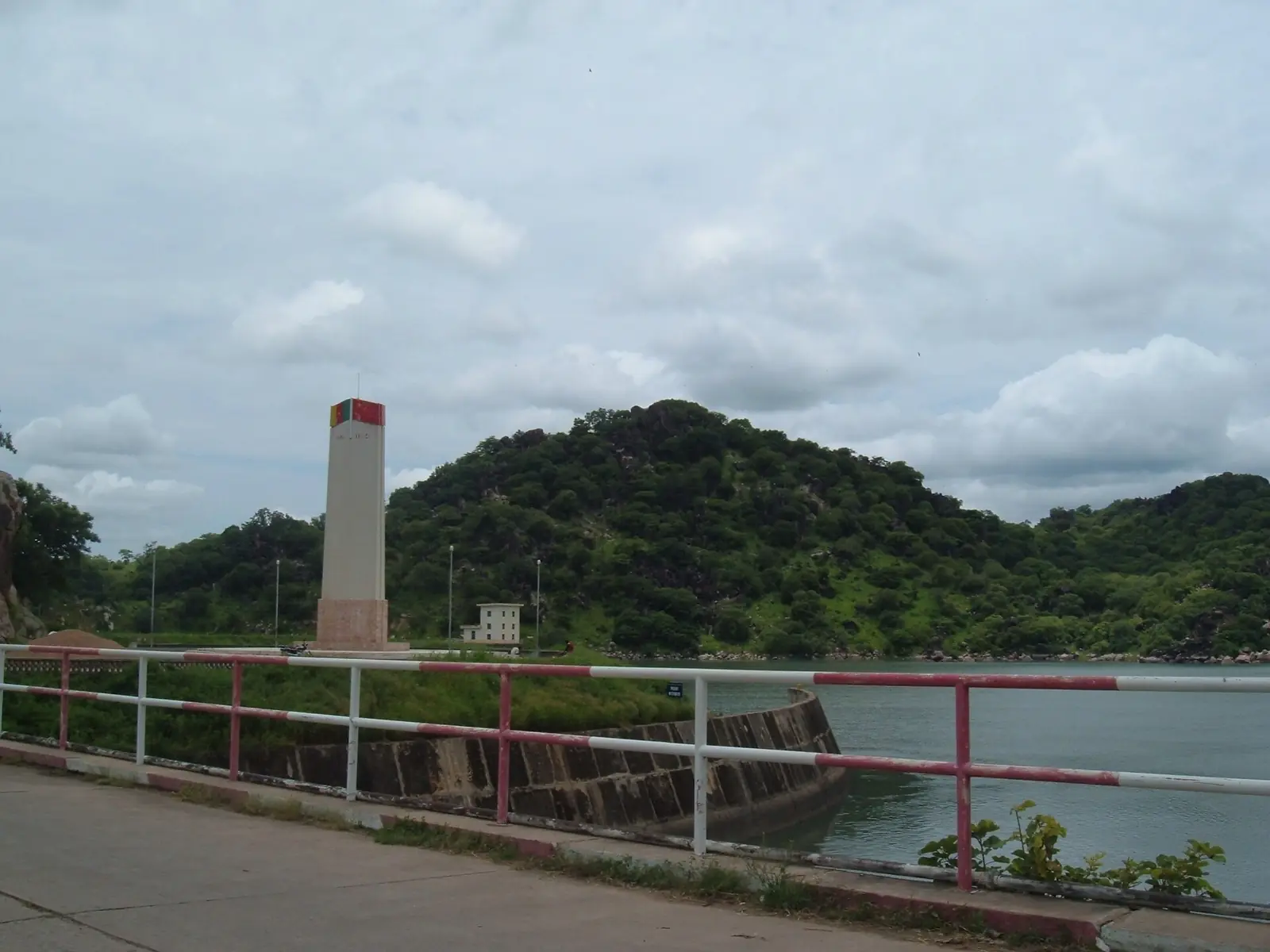
The Lagdo dam, finished in 1982, changed this rhythm. The same study says the downstream floodplain shrank from about 1,000 km² to about 670 km², and that the silt-laden floods that renewed its soils have nearly gone. Levees were built near Garoua and Pitoa to restore some flooding for growing mouskouari sorghum.3
Port and boats
Garoua grew into a river port during the steamship era. How far boats can travel today depends on the source. Britannica says shallow boats can navigate below the Mayo-Kébi all year, with larger boats limited to shorter periods. Wikipedia says Garoua's port works only from July to October and that the waterway can't be used in the dry season. The 2002 study mentions about 140 days a year as the navigation expected once the river was regulated.1,3,5,6
We found no operator offering river cruises, and no reliable account of one.5,6
Wildlife
More than 100 fish species are recorded in the Bénoué. The river forms the eastern edge of Bénoué National Park for about 100 km, and this stretch is the best documented for wildlife. Hippo counts there fell from 400 in 1987 to 188 in 2013, though numbers stayed roughly constant in a section around the park headquarters and tourist camps. Gold-digger camps in the northern half of the park were linked with fewer hippos.2,4
Wikipedia, citing BirdLife, says sandbars left by the falling river offer habitat for plovers in the park.8
Reaching the river
The river passes through Garoua, so the city is the simplest place to see it. Lagdo and Bénoué National Park have their own pages here.6,9
Garoua has an international airport. A March 2023 press report gave Camair-Co five nonstop round trips a week from Douala and Yaoundé, and Wikivoyage lists flights from Douala, Maroua and N'Djamena without a date. By land, the Camrail overnight train runs from Yaoundé to Ngaoundéré, and Garoua is about four hours further north by bus. Check all schedules, as these details are dated or undated.9,10,11
In pictures
What visitors say
We summarise accounts published elsewhere and link to the original. These aren't reviews collected by this site, and we don't show a rating.
We haven't yet found a published visitor account for this place.
Check before you go
Our sources can't yet confirm these points:
- The river's true length; published figures differ by more than 300 km.
- Whether any boat trips run, who runs them and at what price.
- Current hippo numbers; the last full count we found is from 2013.
- Current navigation at Garoua since the dam.
Also nearby
Sources for this page
Information checked on 6 November 2026. It may have changed since.
- Benue River, Encyclopaedia Britannica (undated)
- Status of fish stocks and fisheries of thirteen medium-sized African reservoirs: Cameroon, Lagdo (CIFA Technical Paper 26), FAO (cites data up to 1993)
- Le barrage de Lagdo (Nord-Cameroun) : impact sur les plaines d'inondation de la Bénoué (B. Ngounou Ngatcha, R. Njitchoua, E. Naah), in Gestion intégrée des ressources naturelles en zones inondables tropicales, IRD Éditions (2002)
- Declining population of the Vulnerable common hippopotamus in Bénoué National Park, Cameroon (1976–2013) (P. Scholte, E. Iyah), Oryx, Cambridge University Press (1 February 2016)
- North Region (Cameroon), Wikipedia (undated)
- Garoua, Wikipedia (undated)
- Benue River, Wikipedia (undated)
- Bénoué National Park, Wikipedia (undated)
- Garoua, Wikivoyage (listings dated to February 2023)
- Ngaoundéré, Wikivoyage (undated)
- Réseau domestique : Camair-Co procède à la restructuration de ses vols vers Ngaoundéré, Garoua et Maroua, EcoMatin (28 March 2023)
Enquire about Bénoué River
Visit Bénoué River
Plan your trip to Bénoué River in the North Region. Send us an enquiry about guided tours, accommodation and transport, and we'll reply by email.
Send an enquiryNorth Region
Capital: Garoua
A savanna region built around the Bénoué River, with Garoua as its capital, Fulbe lamidates such as Rey Bouba, and the Bénoué, Faro and Bouba Ndjida national parks.
More places in the North Region
Bénoué National Park
A savanna national park of about 1,800 km² on the Bénoué River, and part of a UNESCO biosphere reserve. It has hippos, antelopes and more than 300 bird species, though recent surveys show large mammals in decline.
Grande Mosquée de Poumpoumré (Garoua Grand Mosque)
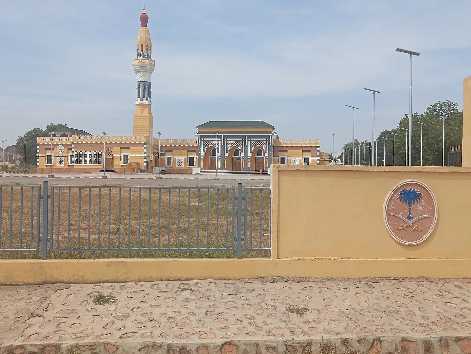
Garoua's grand mosque in the Poumpoumré district, a Saudi royal gift inaugurated in 1981. It reopened to worshippers in March 2024 after about 18 months of restoration.
Faro National Park
A large savanna park in the west of the North Region, near the Nigerian border. The Faro River holds a major hippo population, and a 2025 survey recorded 34 large and medium-sized mammal species, including Derby eland and roan antelope.
Lagdo Reservoir
A large man-made lake on the Bénoué, about 60 to 70 km from Garoua, formed by a dam completed in the early 1980s. It supports a fishery and the region's hydropower, with a fishing village, a market and the Île aux Damans along its shores.