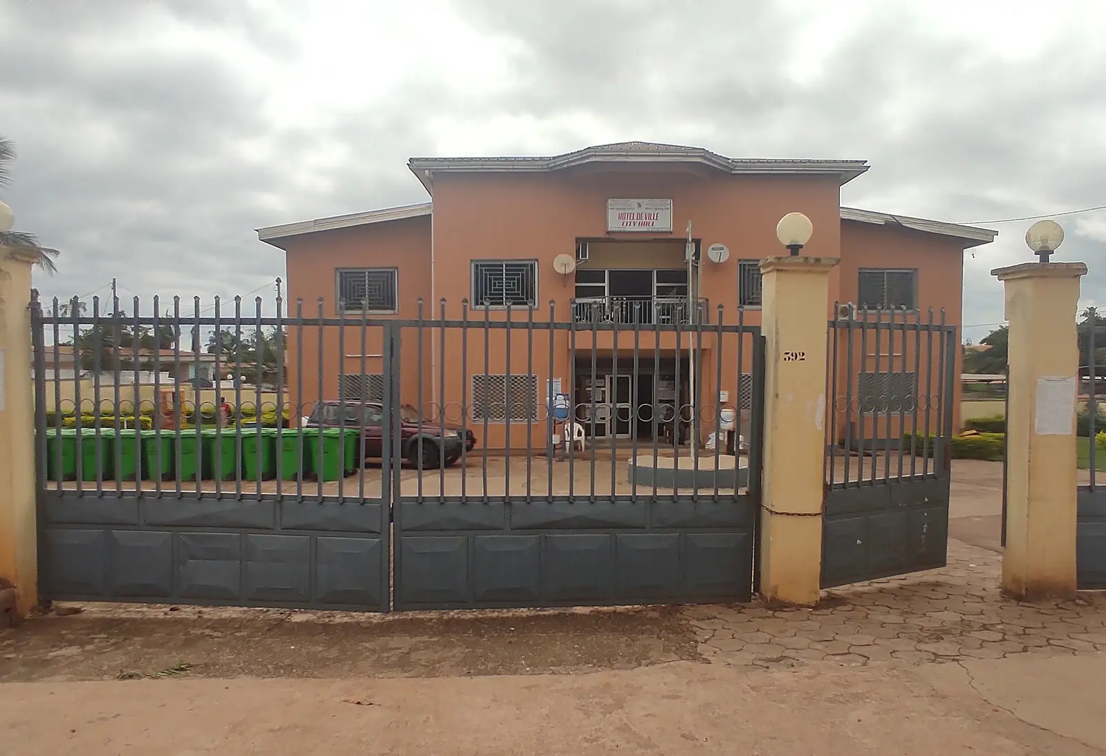
Lom-et-Djérem, the East division around Bertoua: savanna and forest, the Lom Pangar reservoir, Deng Deng park and the railway at Bélabo.
Subdivisions of Lom-et-Djérem Division
Lom-et-Djérem Division has 8 subdivisions.
Bélabo
Chief town: Bélabo
Bertoua I
Chief town: Bertoua
Bertoua II
Chief town: Bertoua
Bétaré-Oya
Chief town: Bétaré-Oya
Diang
Chief town: Diang
Garoua-Boulaï
Chief town: Garoua-Boulaï
Mandjou
Chief town: Mandjou
Ngoura
Chief town: Ngoura
Places in Lom-et-Djérem Division
- Population
- 275,784 (2005 census)4
Where it is and what it's like
Lom-et-Djérem is the northern division of the East region, covering 26,345 km² and bordering the Central African Republic. The Lom crosses the north-east of the division and meets the Sanaga about 13 km below the Lom Pangar dam. Garoua-Boulaï, on the border, stands at 996 m, and Bertoua at 717 m.1,2,5,6,7,8
Bertoua has a tropical savanna climate, with about 1,444 mm of rain a year in the 1981–2010 averages; October is the wettest month and January the driest. Humid wooded savanna dominates from about the latitude of Bertoua northwards, and the Pangar Djérem reserve protects a well-wooded stretch of it in the north-west, extending into Adamawa.8,5
People
The 2005 census counted 275,784 people, the most of the East's four divisions; an earlier statistics-office estimate gave 228,691 for 2001. The Gbaya are the largest group and live across most of the division, including Bertoua, which is their traditional home. The Eki live in the south-west, the Gbete (Kepere) north-west of Bertoua and the Kuo in the north-east corner.4,3,5,8
History
The Gbaya leader Mbartoua led a rebellion in the Bertoua area in 1903, under German rule. In 1926 the French created a Bertoua circumscription covering Bertoua, Deng-Deng (later Bétaré-Oya), Batouri and part of Doumé; its seat moved to Batouri at the start of 1929, and in 1935 it became the Lom-et-Kadéï region. Decree 59-138 of 8 August 1959 made it a division, and in 1965 it was split into Kadey and Lom-et-Djérem. Osidimbea's own date field says 1964, so the exact year needs checking.5,1
What it's known for
Bélabo railway station, on the line from Yaoundé to Ngaoundéré, is the site's place in the division, in the Bélabo subdivision according to OpenStreetMap; logs from the East and neighbouring countries are loaded there for the port of Douala. North of Bertoua, the Lom Pangar dam, finished in 2017, holds back a 540 km² reservoir on the Lom about 13 km above its meeting with the Sanaga, to generate power and even out the Sanaga's flow. Deng Deng National Park, created in 2010 west of the reservoir, shelters the northernmost known population of western lowland gorillas; its area is given as 682.64 km² in English Wikipedia and 52,347 ha in French Wikipedia.9,5,10,6,11,2
Gold is mined around Bétaré-Oya and Ngoura, among other places in the East, both by hand and by semi-mechanised operations. A 2022 study reported by Mongabay found mercury above the World Health Organization's limit in most of the 60 miners tested in Batouri, Kette, Ngoura and Bétaré-Oya.5,12
Main towns and getting there
Bertoua, capital of the East region, had 88,462 people in the 2005 census. Bélabo, Bétaré-Oya and Garoua-Boulaï are the other main towns; Garoua-Boulaï lies on the border, with Baboua the nearest town across it in the Central African Republic. Bertoua is on National Road 10, the route from Yaoundé through Ayos and Abong-Mbang that carries goods between the port of Douala and Bangui. In April 2026 Bertoua's council approved the route of a 28 km bypass for its lorry traffic. The paved Bertoua–Garoua-Boulaï road was completed in 1997, and the 90 km from Mandjou to Batouri was almost fully paved by June 2022. Trains on the line to Ngaoundéré stop at Bélabo.8,7,13,5,14,9
Map
Still to confirm
Our sources can't yet confirm these points:
- The year Lom-et-Djérem was created: Osidimbea's history says 1965, its date field 1964, and neither cites the decree
- Population of the division and its subdivisions after the 2005 census
- The area of Deng Deng National Park: 682.64 km² (English Wikipedia) or 52,347 ha (French Wikipedia)
- The creating decrees of the eight subdivisions
- Whether Mandjou is officially also called Bertoua III
Also nearby
Sources for this page
Information checked on 19 November 2026. It may have changed since.
- Département du Lom et Djerem, Osidimbea, la mémoire du Cameroun (undated)
- Lom-et-Djérem, Wikipédia (19 November 2026)
- Departments of Cameroon: areas from the Annuaire statistique du Cameroun 2006 and earlier census figures, Statoids (Gwillim Law), page updated 2009-01-24 (24 January 2009)
- Cameroon: departments and arrondissements, 2005 census (11 November 2005), from BUCREP and INS data, City Population (Thomas Brinkhoff) (19 November 2026)
- East Region (Cameroon), Wikipedia (19 November 2026)
- Lom Pangar Dam, Wikipedia (19 November 2026)
- Garoua-Boulaï, Wikipedia (19 November 2026)
- Bertoua, Wikipedia (19 November 2026)
- Bélabo, Wikipédia (19 November 2026)
- OpenStreetMap Nominatim: boundary relations of the East's divisions and subdivisions (search), and reverse lookups of the site's place coordinates, OpenStreetMap contributors / Nominatim (19 November 2026)
- Deng Deng National Park, Wikipedia (19 November 2026)
- About 72% of gold miners poisoned with mercury at artisanal mining sites in Cameroon, Mongabay (Yannick Kenné) (29 November 2022)
- Cameroon plans 28 km bypass to ease congestion on key Douala-Bangui corridor, Business in Cameroon (28 April 2026)
- Bitumage de l'axe Bertoua-Batouri : les retombées du Plan d'urgence, Cameroon Tribune (16 June 2022)