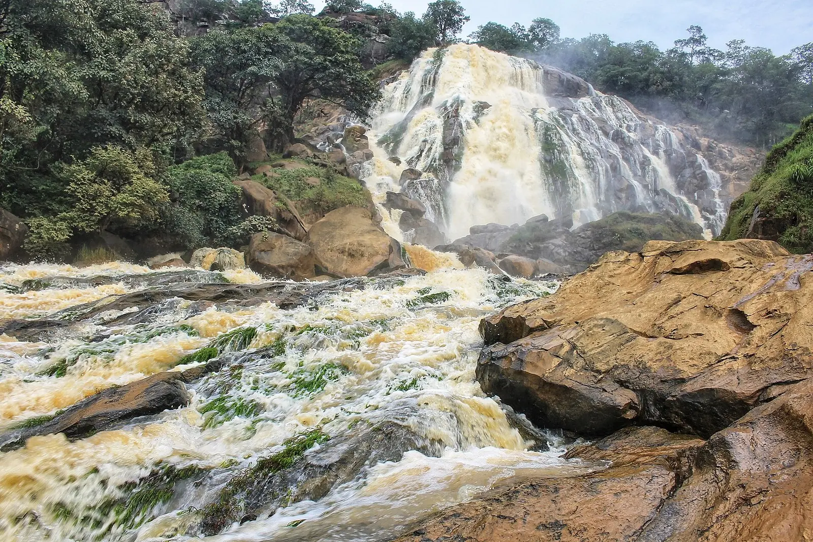
Mbéré, Adamawa's eastern division on the Central African border: Meiganga, Gbaya country and the Mbéré Valley National Park.
Subdivisions of Mbéré Division
Mbéré Division has 4 subdivisions.
Dir
Chief town: Dir
Djohong
Chief town: Djohong
Meiganga
Chief town: Meiganga
Ngaoui
Chief town: Ngaoui
Where it is and what it's like
Mbéré is the eastern division of the Adamawa region, along the border with the Central African Republic, and covers 14,267 km² according to the statistics office. The office notes that the plateau keeps its flat profile only in the east, around Meiganga and Bagodo, and describes the long, wide trench followed by the Mbéré river, where the drop sometimes reaches 400 to 500 m. The floor of the trench lies at about 800 m.1,11
The Mbéré and the Vina are tributaries of the Logone, and so part of the Lake Chad basin. Meiganga stands at about 978 m.1,4
People and how it's organised
The 2005 census counted 171,670 people. French Wikipedia gives 88,745 for the Meiganga council, 38,096 of them in the town, 34,284 for Dir and 24,445 for Djohong. For Meiganga town, English Wikipedia gives 41,314 in 2012. The division has four subdivisions, each with a council of the same name.1,3,4,6,7
This is Gbaya country: English Wikipedia describes the Djohong area as the centre of the Gbaya population in Cameroon, with the Fulbe the other main group. Gbaya groups moved into what is now eastern Cameroon in the early 19th century and fought the Fulani of the Sokoto caliphate through that century.5,9
History
The division was created in 1983 on the territory of the former Meiganga subdivision. Osidimbea dates the Meiganga subdivision to 1960, Dir to 1992 and Ngaoui to 2010. Missions shaped Meiganga: French Wikipedia says the Norwegian Missionary Society settled there in 1920 and later founded a Lutheran theological institute in the town.2,3
What it's known for
The Mbéré Valley National Park, created by decree 2004/0352/PM of 4 February 2004, covers 777.6 km² of savanna and gallery forest along the river, with hippopotamus, buffalo and the western mountain reedbuck. The Lancrenon falls, at the village of Yamba, mark its southern tip. The statistics office's 2020 inventory counts five waterfalls in Mbéré, more than in any other Adamawa division, and six lakes. None of the site's current Adamawa places are in Mbéré.1,8
Main towns and getting there
Map
Still to confirm
Our sources can't yet confirm these points:
- The 2005 census population of the Ngaoui subdivision, and the current population of the division
- Meiganga's population: French Wikipedia's infobox gives 208,745 for 2019, which does not match its own 2005 figures
- The creation date of the Djohong subdivision and the creating decrees of the division and its subdivisions
- Access to the Mbéré Valley National Park and the Lancrenon falls
Sources for this page
Information checked on 19 November 2026. It may have changed since.
- Annuaire statistique de la région de l'Adamaoua, édition 2024: chapitre 1 (relief, hydrographie, mines, faune), Tableau 2.2 and Graphique 2.1 (administrative map and areas, source Services du Gouverneur), Tableau 3.1 (2005 census by division), Tableau 10.10 (tourist sites by division, 2020), Institut national de la statistique, Agence régionale de l'Adamaoua (undated)
- Département du Mbéré, Osidimbea, la mémoire du Cameroun (undated)
- Meiganga, Wikipédia (19 November 2026)
- Meiganga, Wikipedia (19 November 2026)
- Djohong, Wikipedia (19 November 2026)
- Dir (Cameroun), Wikipédia (19 November 2026)
- Djohong, Wikipédia (19 November 2026)
- Mbéré Valley National Park, Wikipedia (19 November 2026)
- Gbaya people, Wikipedia (19 November 2026)
- Ngaoundéré, Wikipédia (19 November 2026)
- Ngaoui, Wikipedia (19 November 2026)