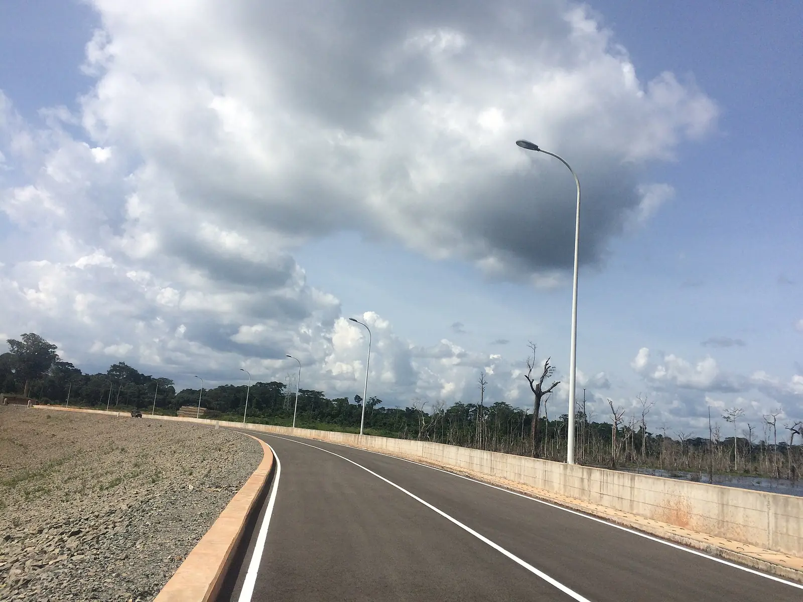
Vallée-du-Ntem, the South region's border division: Ambam and Kyé-Ossi by Gabon and Equatorial Guinea, and the Memve'ele dam on the Ntem.
Subdivisions of Vallée-du-Ntem Division
Vallée-du-Ntem Division has 4 subdivisions.
Ambam
Chief town: Ambam
Kyé-Ossi
Chief town: Kyé-Ossi
Ma'an
Chief town: Ma'an
Olamzé
Chief town: Olamzé
Places in Vallée-du-Ntem Division
Where it is and what it's like
Vallée-du-Ntem is the South region's smallest division, on its southern border. The statistics office gives its area as 7,311 km² in one table and 7,303 km² in another. It is named after the Ntem, which rises in Gabon, forms part of the border and reaches the Atlantic in Cameroon. Ambam and Kyé-Ossi both border Gabon and Equatorial Guinea. Ma'an, a forest commune, alone covers 2,436 km².1,3,5,6,8
People
History
Ambam's name comes from Mbama, a Ntumu word for a camp, and the Germans built administrative buildings there. The French made it a subdivision seat in 1921. Ma'an became an arrondissement in 1969. The division itself was created when the old Ntem department was split in two: French Wikipedia gives 1 September 1992, while Statoids gives about 1995.3,4,6,10
What it's known for
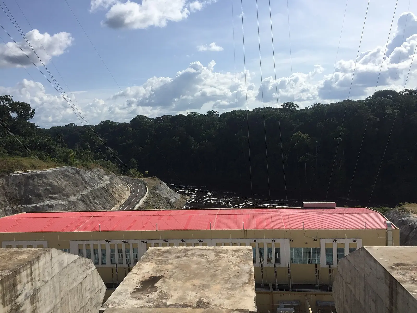
Ambam was long a hub for trade with Gabon and Equatorial Guinea. French Wikipedia says this slowed around 2000, when an international market opened closer to the borders. French Wikipedia describes Kyé-Ossi, right on the border, as an economic hub for the country. The site's Memve'ele Power Station, 211 MW, stands on the Ntem at Nyabissan, in the Ma'an subdivision. It produced its first power in April 2019.3,5,7,11
Main towns and getting there
Ambam, the chief town, lies on the RN2, 90 km south of Ebolowa. Its distance from Yaoundé is about 243 km by French Wikipedia and about 220 km by English Wikipedia. Kyé-Ossi is about 275 km from Yaoundé. A 27 km road from Ambam to Eking, on the Gabon border, was approved in 2000 and 2001. Nyabissan is about 140 km by road south-west of Ebolowa.3,4,5,7
Map
Still to confirm
Our sources can't yet confirm these points:
- The decree and date creating the division (1992 or about 1995)
- The seat and creation date of the Olamzé subdivision
- Whether the Ambam–Eking road was completed
- Current road conditions from Ebolowa to Nyabissan
Sources for this page
Information checked on 19 November 2026. It may have changed since.
- Annuaire statistique de la région du Sud, édition 2022: Tableau 3-4 (arrondissements), Tableau 3-10 (areas, chief towns and peoples, source DRMINEPAT), Tableau 4-2 (population by division), Institut national de la statistique, Agence régionale du Sud (undated)
- Vallée-du-Ntem, Wikipedia (19 November 2026)
- Ambam, Wikipédia (19 November 2026)
- Ambam, Wikipedia (19 November 2026)
- Kyé-Ossi, Wikipédia (19 November 2026)
- Ma'an (Cameroun), Wikipédia (19 November 2026)
- Memve'ele Hydroelectric Power Station, Wikipedia (19 November 2026)
- Campo River (Ntem), Wikipedia (19 November 2026)
- Beti-Pahuin peoples, Wikipedia (19 November 2026)
- Departments of Cameroon (history of changes), Statoids (19 November 2026)
- OpenStreetMap Nominatim: boundary relations of the South region's divisions and subdivisions (search), and reverse lookups of the site's place coordinates, OpenStreetMap contributors / Nominatim (19 November 2026)