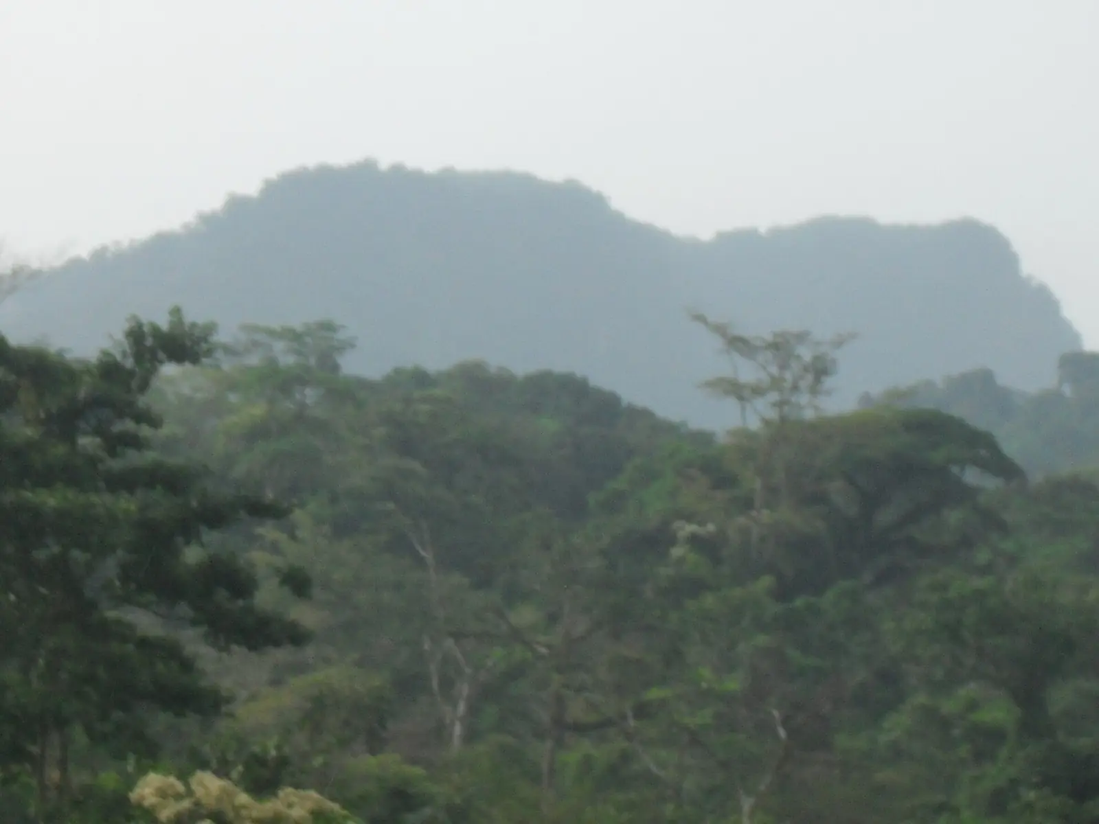
Ndian, the Southwest's mangrove and rainforest division on the Nigerian border: Korup National Park, the Rumpi Hills and Mundemba.
Subdivisions of Ndian Division
Ndian Division has 9 subdivisions.
Bamusso
Chief town: Bamusso
Dikome Balue
Chief town: Dikome Balue
Ekondo Titi
Chief town: Ekondo Titi
Idabato
Chief town: Idabato
Isangele
Chief town: Isangele
Kombo Abedimo
Chief town: Kombo Abedimo
Kombo Itindi
Chief town: Itindi
Mundemba
Chief town: Mundemba
Toko
Chief town: Toko
- Subdivisions
- 91
Where it is and what it's like
Ndian covers 6,626 km² in the west of the region, between Nigeria to the west and the Bight of Biafra to the south. English Wikipedia says mangroves and creeks cover over 35% of it, around the Rio del Rey estuary where the Ndian river reaches the sea, and that about 40% lies on the Rumpi Highlands. The Rumpi Hills rise to about 1,800 m at Mount Rata, and 455 km² of their forest is a forest reserve.1,3,6
Most of Korup National Park lies in Ndian. Declared a national park by decree in October 1986, on a forest reserve dating from 1937, it covers 1,260 km² and shares about 15 km of boundary with Nigeria's Cross River National Park. Over 1,100 plant species and 161 mammal species have been described there, including 14 primates.5,1
Peoples and languages
The statistics office gives 122,579 people at the 2005 census, while English Wikipedia gives 362,201 from a 2005 survey and projections; the two don't match. By subdivision in 2005: Ekondo Titi 56,503, Bamusso 19,230, Mundemba 14,385, Dikome Balue 13,364, Toko 7,035, Idabato 3,482, Isangele 3,476, Kombo Itindi 2,958 and Kombo Abedimo 2,146.1,3
Most people are Oroko, among them the Balue, Ngolo, Bima, Balondo and Batanga, alongside Isangele and Efik communities. The Oroko language is a cluster of nine dialects. The Oroko claim to have founded the Ekpe society and its Nsibidi signs, which are more widely credited to the Ejagham.3,7
History
Main towns
Mundemba, the chief town, is a mainly Oroko town and the headquarters of Korup National Park, about 8 km to its west. The other subdivision seats are Ekondo Titi, Bamusso, Toko, Dikome Balue, Isangele, Kombo Abedimo, Idabato and Itindi, seat of Kombo Itindi. The site doesn't yet list any places in Ndian.4,3,2
In pictures
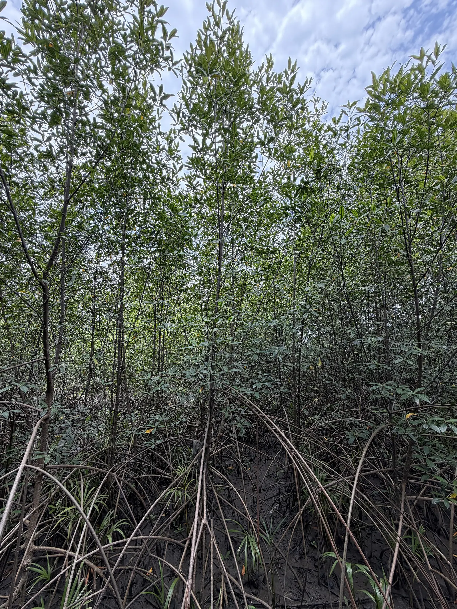
Map
Still to confirm
Our sources can't yet confirm these points:
- Ndian's 2005 population: 122,579 (INS census table) or 362,201 (English Wikipedia)
- The seat of Kombo Itindi subdivision
- Which Ndian subdivisions cover the Bakassi peninsula: no source we read names them
- A current population count: the latest census is from 2005
Sources for this page
Information checked on 19 November 2026. It may have changed since.
- Annuaire statistique de la région du Sud-Ouest, édition 2023: chapter 1 (relief, rivers), Tableau 2-1 (subdivisions by division, source MINAT), Tableaux 4-2, 4-3 and 4-10 (area, population, 2005 census by subdivision), Institut national de la statistique, Agence régionale du Sud-Ouest (undated)
- Département du Ndian, Osidimbea (19 November 2026)
- Ndian, Wikipedia (19 November 2026)
- Mundemba, Wikipedia (19 November 2026)
- Korup National Park, Wikipedia (19 November 2026)
- Rumpi Hills, Wikipedia (19 November 2026)
- Oroko people, Wikipedia (19 November 2026)
- Région du Sud-Ouest: les départements, Osidimbea (19 November 2026)