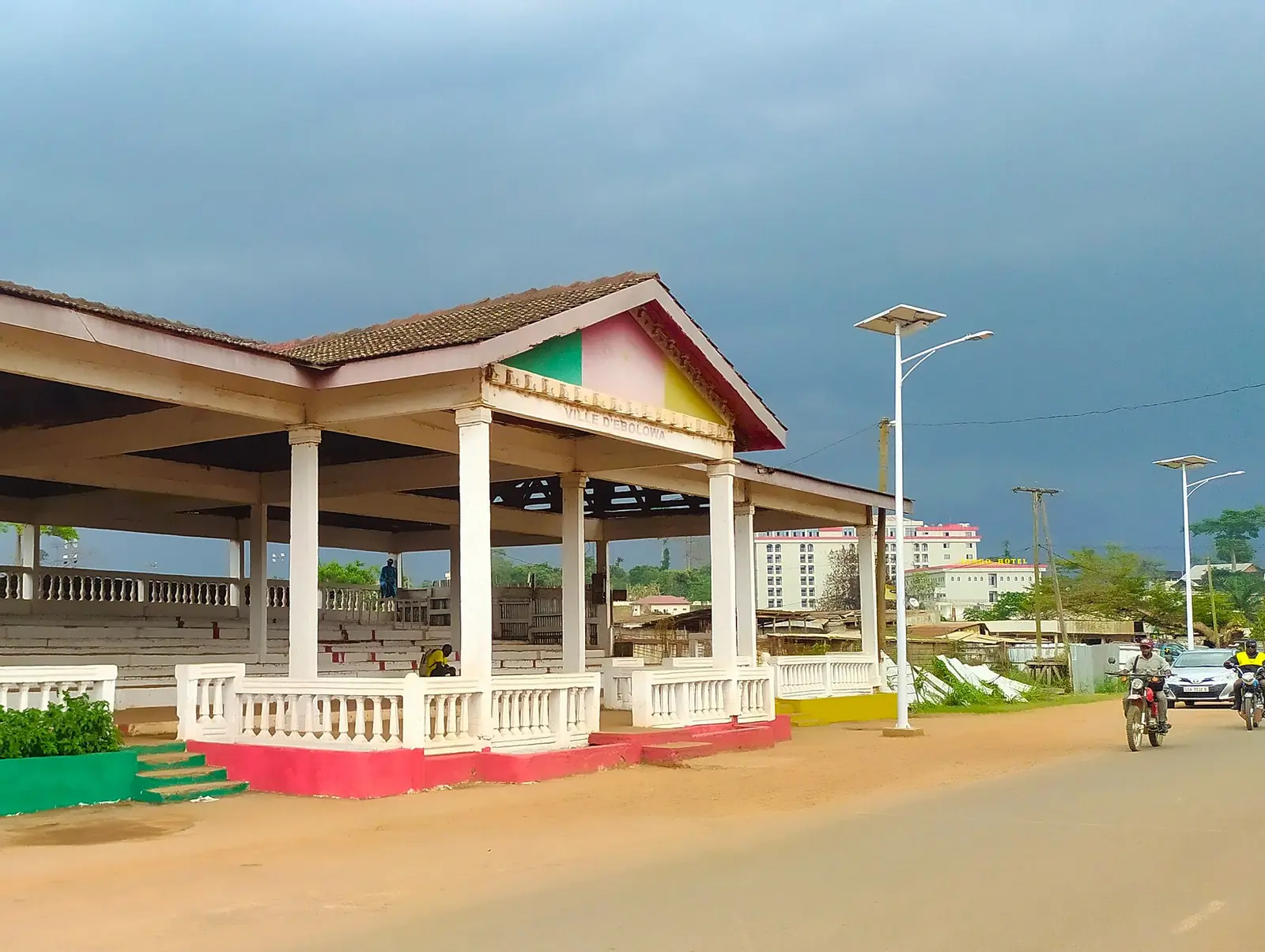
Mvila, the South region's central division: Ebolowa, the regional capital and Bulu cocoa town, with forest villages such as Nkolandom.
Subdivisions of Mvila Division
Mvila Division has 8 subdivisions.
Biwong-Bané
Chief town: Biwong-Bané
Biwong-Bulu
Chief town: Biwong-Bulu
Ebolowa I
Chief town: Ebolowa
Ebolowa II
Chief town: Ebolowa
Efoulan
Chief town: Efoulan
Mengong
Chief town: Mengong
Mvangan
Chief town: Mvangan
Ngoulémakong
Chief town: Ngoulémakong
Places in Mvila Division
- Subdivisions
- 81
Where it is and what it's like
Mvila covers 8,697 km² around Ebolowa, the South region's capital. It is forest country on the South Cameroon plateau, which the statistics office describes as rolling hills between 650 and 900 m. In the south-east, the Mvangan subdivision drains to the Ntem and reaches the Gabon border. Ebolowa has a short dry season in December and January and rainfall peaks in April and October.1,5,10
People
The 2005 census counted 179,429 people. The statistics office projects 271,881 for 2021, making Mvila the most populous and densest division in the region, at 31 per km². It lists the Bulu, the Fang and the Bané as its founding peoples. French Wikipedia calls Ebolowa the historic capital of Bulu country, and English Wikipedia counts the Bané among the Beti peoples.1,4,6
History
Mvila was created when the old Ntem department was split in two. Osidimbea dates this to 1992, and French Wikipedia gives 1 September 1992 for its twin, the Vallée-du-Ntem, while Statoids gives about 1995. Ebolowa's fortunes rose and fell with cocoa. Its urban commune dates from 1947, and the Ebolowa urban community, made up of Ebolowa I and II, from 2008. Some communes are older: Osidimbea dates Ngoulémakong to 1955 and Biwong-Bané to 1962.3,4,7,8
What it's known for
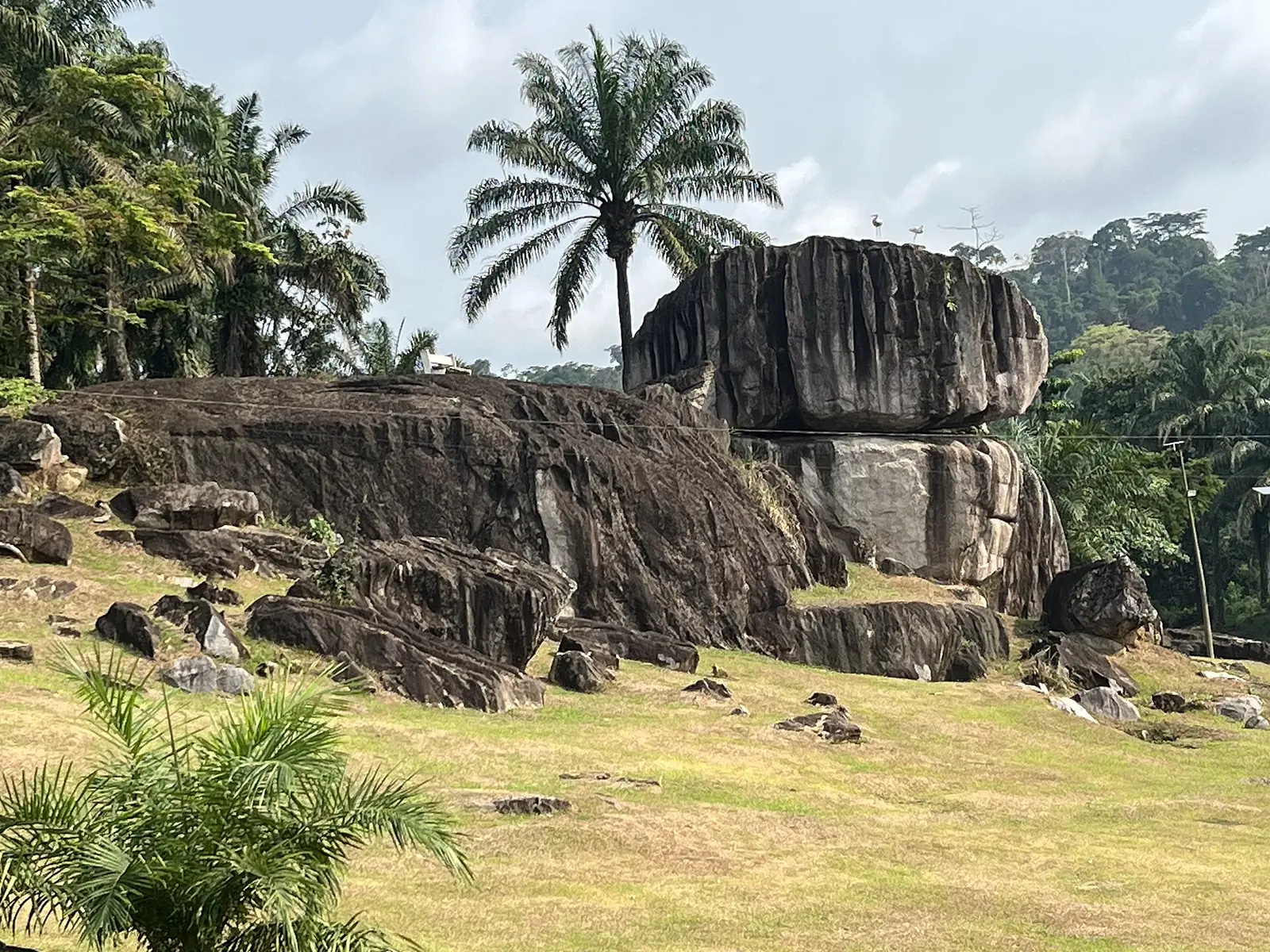
Cocoa is Ebolowa's main crop, and a cocoa factory was announced for the town in 2024. The city hosts the regional administration, an Equatorial Guinea consulate general and, since 2015, an annex of the law faculty of the University of Yaoundé II. The site's Nkolandom, a village with a tourist centre, lies in the Ebolowa II subdivision according to OpenStreetMap. In the south, the Mengamé gorilla sanctuary, created in 2008, covers 27,723 ha along the Gabon border.4,5,9,10
Main towns and getting there
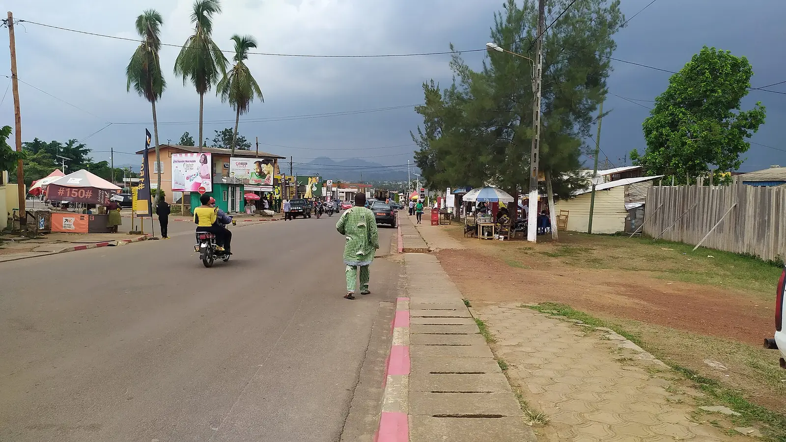
Ebolowa, the chief town, had about 65,000 people in its two urban areas in 2005. A paved road through Mbalmayo links it to Yaoundé, 158 km by French Wikipedia and 168 km by English Wikipedia, and another runs south through Ambam to the Gabon and Equatorial Guinea borders. Kribi is reached by unpaved roads, 160 km via Akom II or 180 km via Lolodorf. In 2025 the government planned a 179 km road between the two towns. Mvangan lies 90 km south-east of Ebolowa.4,5,10
In pictures
Map
Still to confirm
Our sources can't yet confirm these points:
- The year Mvila was created (1992 or about 1995) and the decree
- The seats of the Biwong-Bulu and Efoulan subdivisions
- Whether work has started on the Ebolowa–Kribi road
- Whether the Mengamé gorilla sanctuary is open to visitors
Sources for this page
Information checked on 19 November 2026. It may have changed since.
- Annuaire statistique de la région du Sud, édition 2022: Tableau 3-4 (arrondissements), Tableau 3-10 (areas, chief towns and peoples, source DRMINEPAT), Tableau 4-2 (population by division), Institut national de la statistique, Agence régionale du Sud (undated)
- Mvila, Wikipedia (19 November 2026)
- Mvila: arrondissements and communes, with creation dates, Osidimbea (19 November 2026)
- Ebolowa, Wikipédia (19 November 2026)
- Ebolowa, Wikipedia (19 November 2026)
- Beti-Pahuin peoples, Wikipedia (19 November 2026)
- Ambam, Wikipédia (19 November 2026)
- Departments of Cameroon (history of changes), Statoids (19 November 2026)
- OpenStreetMap Nominatim: boundary relations of the South region's divisions and subdivisions (search), and reverse lookups of the site's place coordinates, OpenStreetMap contributors / Nominatim (19 November 2026)
- Mvangan, Wikipédia (19 November 2026)