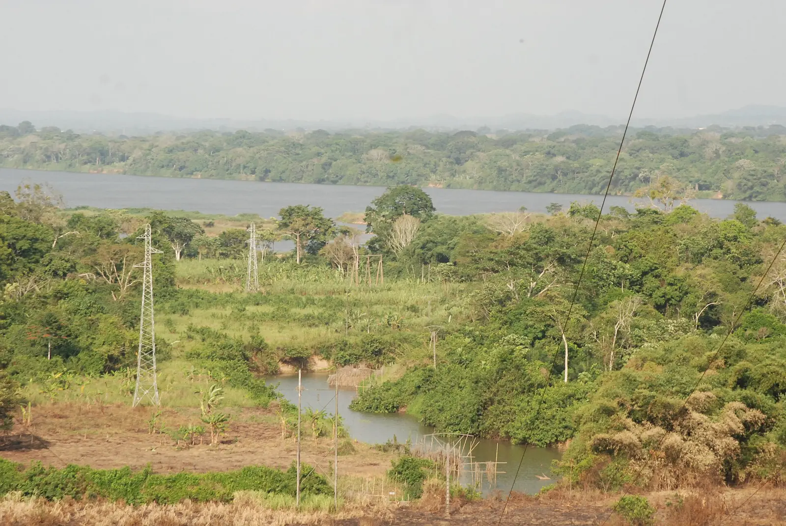
Sanaga-Maritime, the Littoral's largest division: the lower Sanaga from Édéa's falls to the sea, Bassa country and Douala-Edéa National Park.
Subdivisions of Sanaga-Maritime Division
Sanaga-Maritime Division has 11 subdivisions.
Dibamba
Chief town: Logbadjeck
Dizangué
Chief town: Dizangué
Édéa I
Chief town: Édéa
Édéa II
Chief town: Ékité
Massock-Songloulou
Chief town: Massock
Mouanko
Chief town: Mouanko
Ndom
Chief town: Ndom
Ngambé
Chief town: Ngambé
Ngwei
Chief town: Makondo
Nyanon
Chief town: Nyanon
Pouma
Chief town: Pouma
Places in Sanaga-Maritime Division
Where it is and what it's like
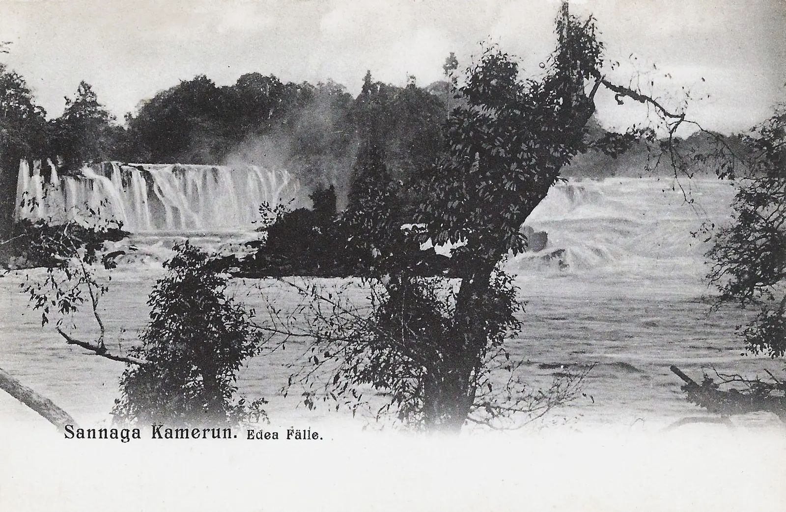
At 9,311 km², Sanaga-Maritime is the Littoral's largest division, covering its south and east. Its neighbours include Nkam, the Centre region and the Océan division of the South region. It follows the lower Sanaga, which enters the region at its confluence with the Lebomo, drops through falls at Édéa and reaches the sea in two arms around Malimba island. Mangroves line the mouths of the Sanaga and the Nyong. The soils are poor and leached, suited to quick food crops.1,2,6
People
History
The French created the Édéa-Éséka district in 1916. It took the name Sanaga-Inférieure in 1935 and Sanaga-Maritime in 1936, lost Éséka in 1958 and became a division in 1959. Allied forces fought the Germans at Édéa in 1914 and 1915. From 1957 UPC activists, outlawed and repressed, took to the bush here, and the French army answered with a counter-insurgency zone, the ZOPAC, and village militias.2,3,6
What it's known for
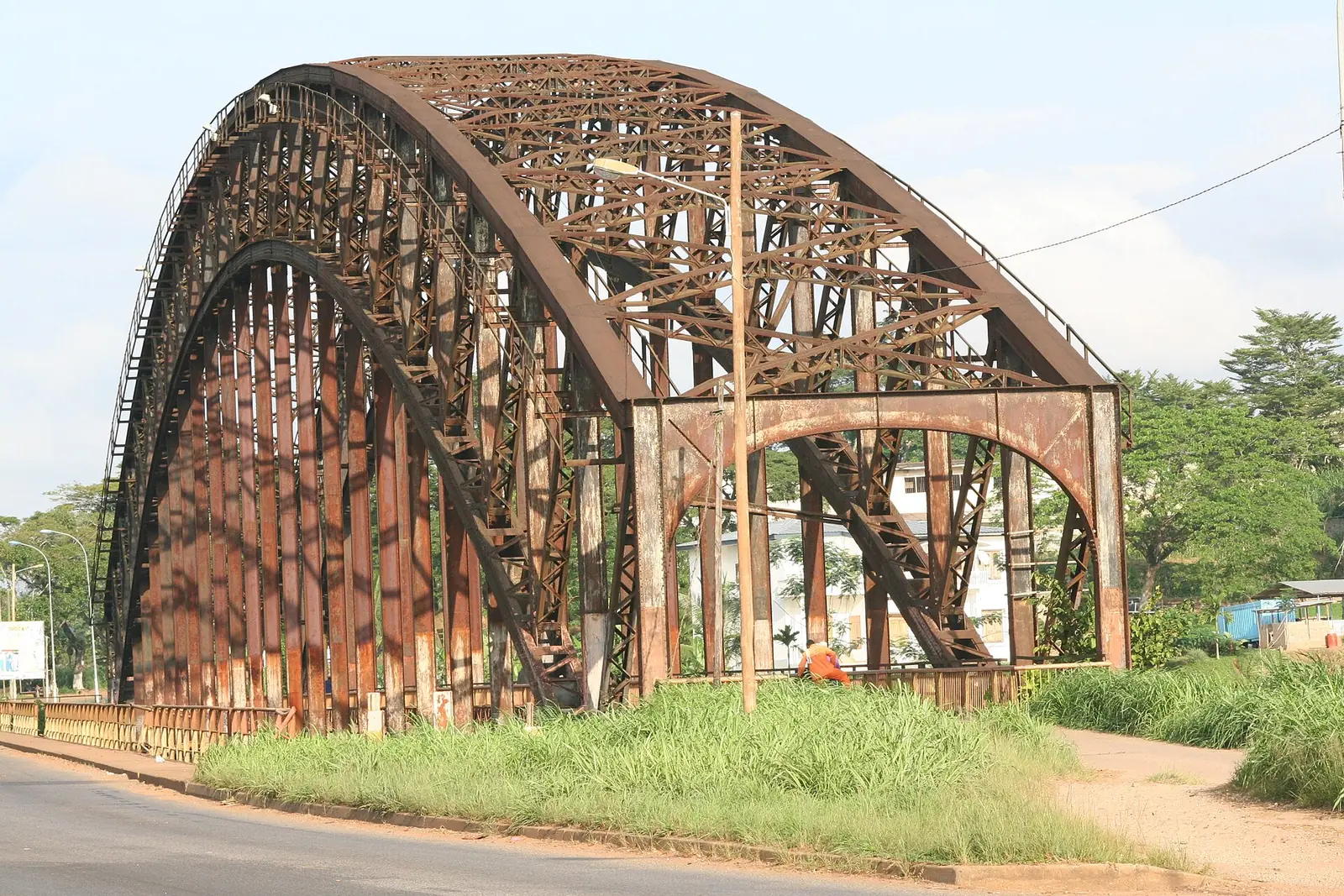
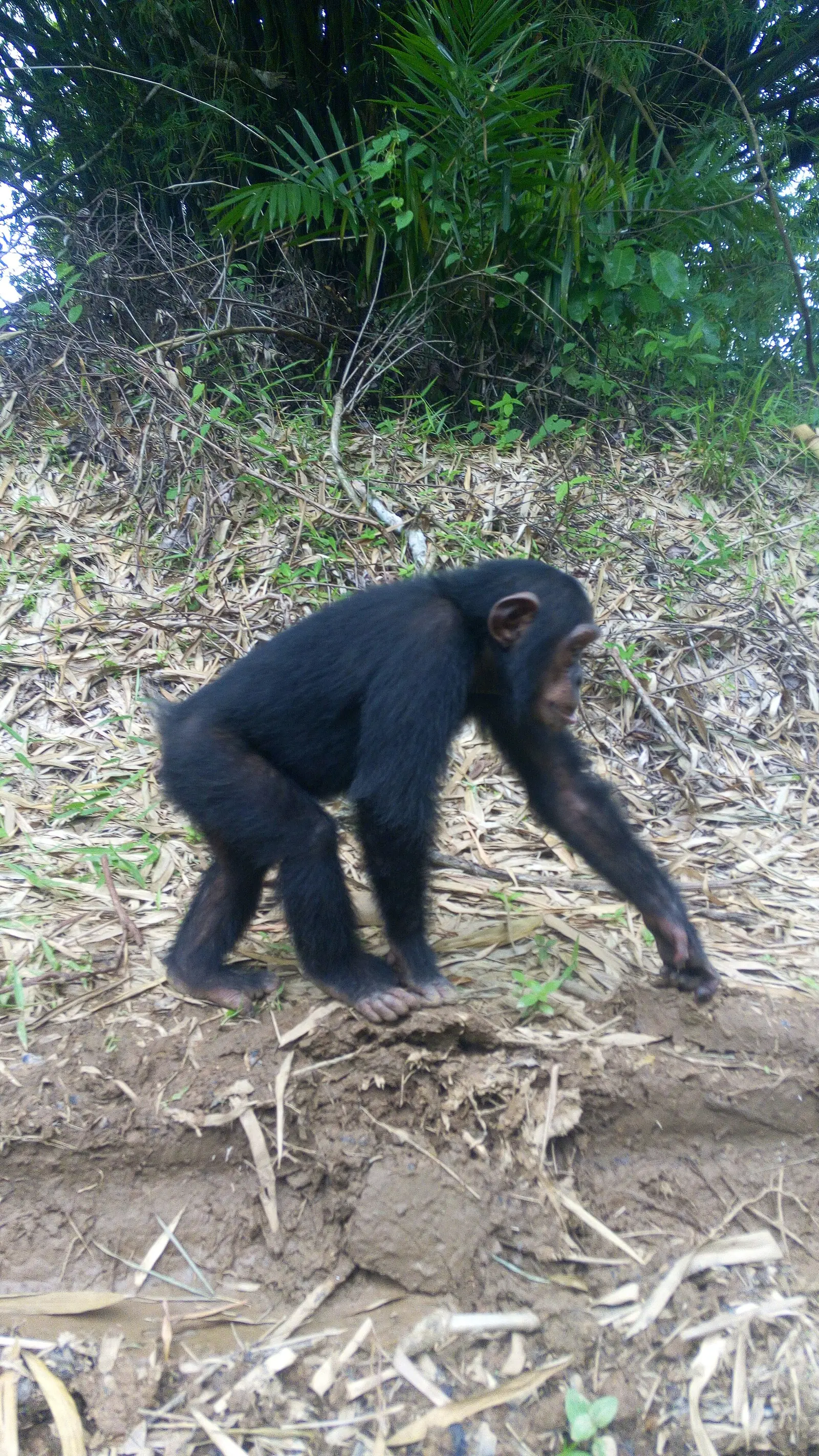
Édéa Falls and the German Bridge are both on the Sanaga at Édéa, where the river divides the Édéa I and Édéa II subdivisions. Douala-Edéa National Park, a reserve made a park by a decree of 11 October 2018, covers 262,935 ha in Édéa I, Dizangué and Mouanko, and in Manoka in Wouri, with its headquarters at Mouanko. The regional tourism office also lists Lake Ossa (Dizangué), Yoyo beach and Lake Tissongo (Mouanko), the Ngok Lituba cave (Nyanon) and Balengue beach (Édéa I).4,5,7
Main towns and getting there
Édéa, the chief town, is an urban community made up of Édéa I and II. Other seats include Dizangué, Mouanko, Pouma, Ngambé, Ndom and Nyanon. The Central Railway from Douala, built by the Germans from 1910, runs through Édéa towards Yaoundé, and Camrail serves the town. National Highway 7 to Kribi starts at Édéa.1,3,8
Map
Still to confirm
Our sources can't yet confirm these points:
- Official current population of Sanaga-Maritime and of Édéa (Wikipedia gives 73,128 and an estimate of 122,300)
- Why the INS tourist list places the Douala-Edéa reserve in Dibamba, which the 2018 decree does not name
- Current Camrail stops and timetables at Édéa
Sources for this page
Information checked on 18 November 2026. It may have changed since.
- Annuaire statistique de la région du Littoral, édition 2023 (data to 2022): Tableau 2-1 (administrative map, source MINATD), Tableau 2-2, Tableaux 4-1 to 4-3, Institut national de la statistique, Agence régionale du Littoral (undated)
- Sanaga-Maritime, Wikipédia (18 November 2026)
- Edéa, Wikipedia (18 November 2026)
- Décret du 11 octobre 2018 portant mutation de la Réserve de faune de Douala-Edéa en Parc national de Douala-Edéa, Services du Premier ministre (11 October 2018)
- Le Littoral en chiffres, édition 2023: Tableau 5-1, main tourist sites by arrondissement (source DRTOUR LT), Institut national de la statistique, Agence régionale du Littoral (undated)
- Département de la Sanaga-Maritime, Osidimbea, la mémoire du Cameroun (undated)
- OpenStreetMap Nominatim: boundary relations of the Littoral's divisions and subdivisions (search), and reverse lookups of the site's place coordinates, OpenStreetMap contributors / Nominatim (18 November 2026)
- History of rail transport in Cameroon, Wikipedia (18 November 2026)