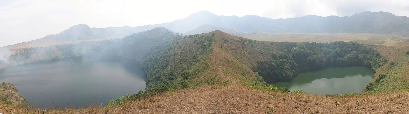
Koupé-Manengouba, Bakossi country in the Southwest: Mount Kupe, Mount Manengouba's twin crater lakes and the town of Bangem.
Subdivisions of Koupé-Manengouba Division
Koupé-Manengouba Division has 3 subdivisions.
Bangem
Chief town: Bangem
Nguti
Chief town: Nguti
Tombel
Chief town: Tombel
Places in Koupé-Manengouba Division
Where it is and what it's like
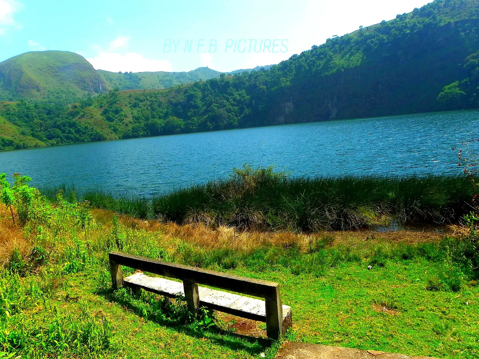
Koupé-Manengouba covers 3,404 km² in the east of the region. It takes its name from Mount Koupé, or Kupe, to the south and Mount Manengouba to the north. Mount Kupe, at 2,064 m the highest of the Bakossi Mountains, still has montane rainforest on its northern side, home to chimpanzees and to the endangered Mount Kupe bushshrike, while farms have cleared the eastern slopes up to about 1,500 m. Manengouba is a volcano that English Wikipedia puts at 2,396 m; its twin crater lakes lie about 10 km uphill from Bangem.1,3,6,7,8
People
The 2005 census counted 105,579 people: 57,017 in Tombel, 27,151 in Nguti and 21,411 in Bangem. French Wikipedia also gives 123,011 for 2001, which doesn't match. The Bakossi live on the slopes of Manengouba and Kupe and speak Akoose, and they regard Mount Kupe as home to ancestral and forest spirits. English Wikipedia also names the Mbo and Bassosi. Tombel, traditionally Bakossi land, now has many residents from other regions.1,4,5,6,3,9
History
The Bakossi came under German rule in the 1880s. After the First World War their land was split between the British and French territories, with the Mungo river as the boundary. A Bangem district covering Bakossi land was created in 1963 and split into northern and southern districts in 1968; the Bakossi Council was likewise divided in 1977. Osidimbea dates the division itself to 1998.5,10
What it's known for
Main towns
Map
Still to confirm
Our sources can't yet confirm these points:
- The decree and year creating the division (Osidimbea gives 1998)
- Mount Manengouba's height, and where the boundary with the Littoral runs across it
- A current population count: the latest census is from 2005
Sources for this page
Information checked on 19 November 2026. It may have changed since.
- Annuaire statistique de la région du Sud-Ouest, édition 2023: chapter 1 (relief, rivers), Tableau 2-1 (subdivisions by division, source MINAT), Tableaux 4-2, 4-3 and 4-10 (area, population, 2005 census by subdivision), Institut national de la statistique, Agence régionale du Sud-Ouest (undated)
- Département du Koupé-Manengouba, Osidimbea (19 November 2026)
- Koupé-Manengouba, Wikipedia (19 November 2026)
- Koupé-Manengouba, Wikipédia (19 November 2026)
- Bakossi people, Wikipedia (19 November 2026)
- Mount Kupe, Wikipedia (19 November 2026)
- Mount Manengouba, Wikipedia (19 November 2026)
- Bangem, Wikipedia (19 November 2026)
- Tombel, Wikipedia (19 November 2026)
- Région du Sud-Ouest: les départements, Osidimbea (19 November 2026)
- OpenStreetMap Nominatim: searches for the Southwest's division and subdivision seats, and reverse lookups of the site's place coordinates, OpenStreetMap contributors / Nominatim (19 November 2026)