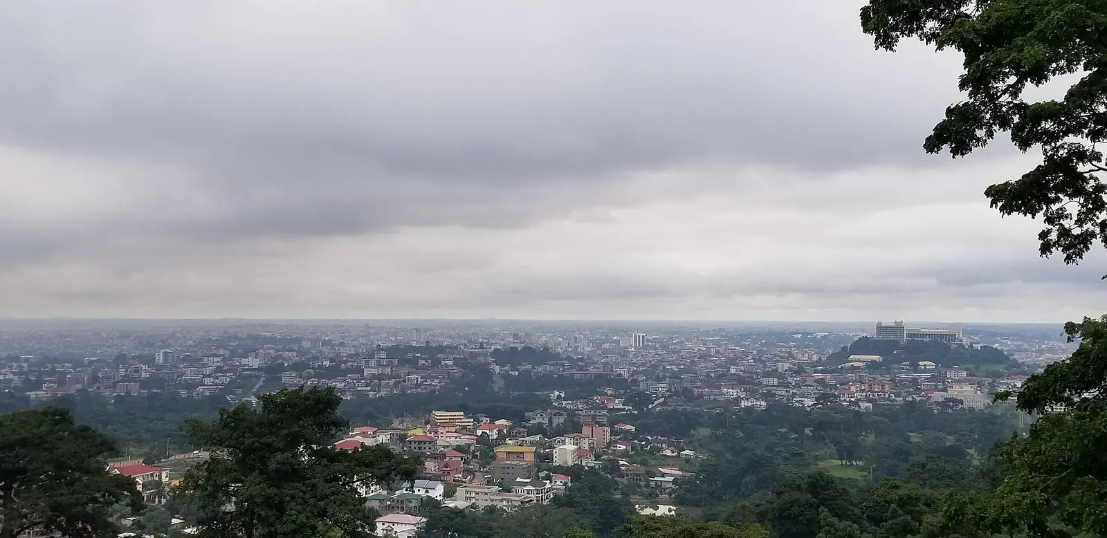
Mfoundi, the Centre division that is Yaoundé: the capital's seven subdivisions, its hills, museums and monuments, from Mont Fébé to Mvog-Betsi.
Subdivisions of Mfoundi Division
Mfoundi Division has 7 subdivisions.
Yaoundé I
Chief town: Nlongkak
Yaoundé II
Chief town: Tsinga
Yaoundé III
Chief town: Efoulan
Yaoundé IV
Chief town: Kondengui
Yaoundé V
Chief town: Essos
Yaoundé VI
Chief town: Biyem-Assi
Yaoundé VII
Chief town: Nkolbisson
Places in Mfoundi Division
Where it is and what it's like
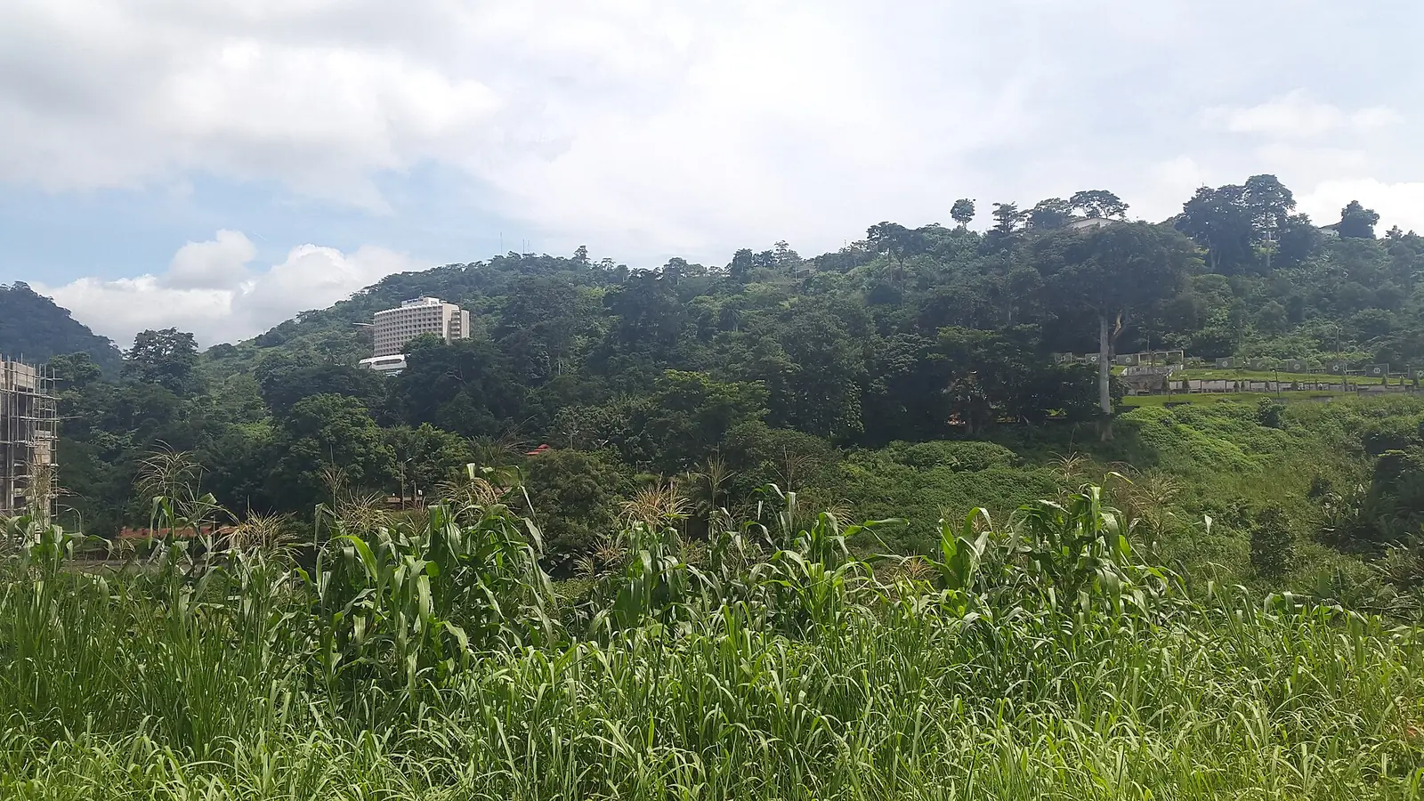
Mfoundi is the division that is Yaoundé, Cameroon's capital and the chief town of the Centre region. At 297 km² it is the smallest of the region's ten divisions, just 0.4% of its area, though French Wikipedia, citing a 2015 book on Cameroon's councils, gives 287 km². The city spreads over hills on the southern Cameroon plateau, and the statistics office notes heights of 1,000 to 1,300 m around Yaoundé. The division takes its name from the Mfoundi river, which crosses the city; a 2012 study puts its catchment at 97.7 km².1,3
People and how it's organised
The 2005 census counted 1,881,876 people, and the statistics office projects 2,461,729 for 2023, about 8,289 people per km². It lists the Ewondo, the Bene and the Etudi as the division's main groups, but Yaoundé draws people from across the country.1
The division has seven arrondissements, Yaoundé I to VII, each with a borough council (commune d'arrondissement). Together they form the Yaoundé urban community, which covers the whole division. French Wikipedia gives each borough's chief town: Nlongkak for Yaoundé I, Tsinga for II, Efoulan for III, Kondengui for IV, Essos for V, Biyem-Assi for VI and Nkolbisson for VII.1,3,2
History
What it's known for
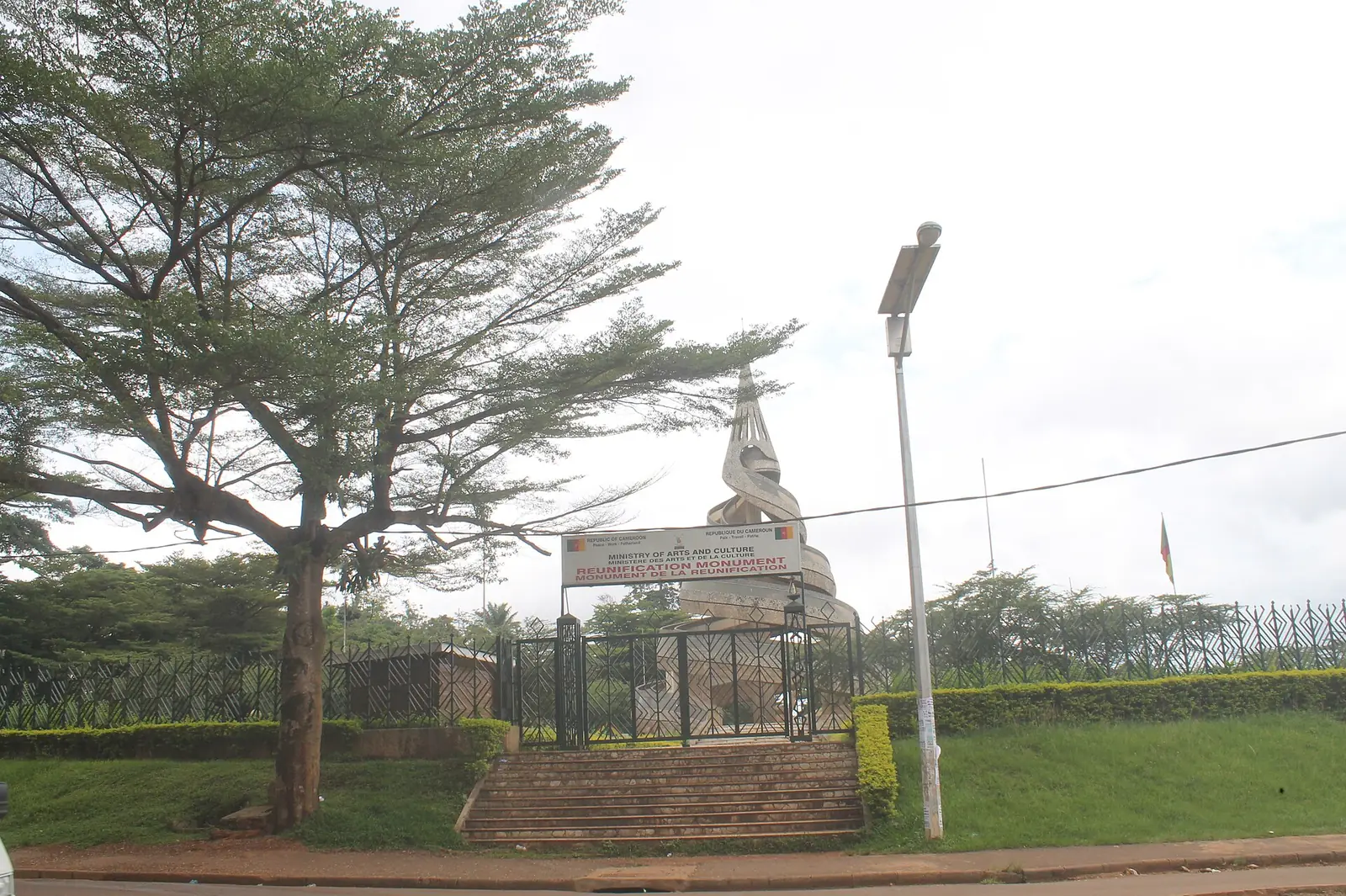
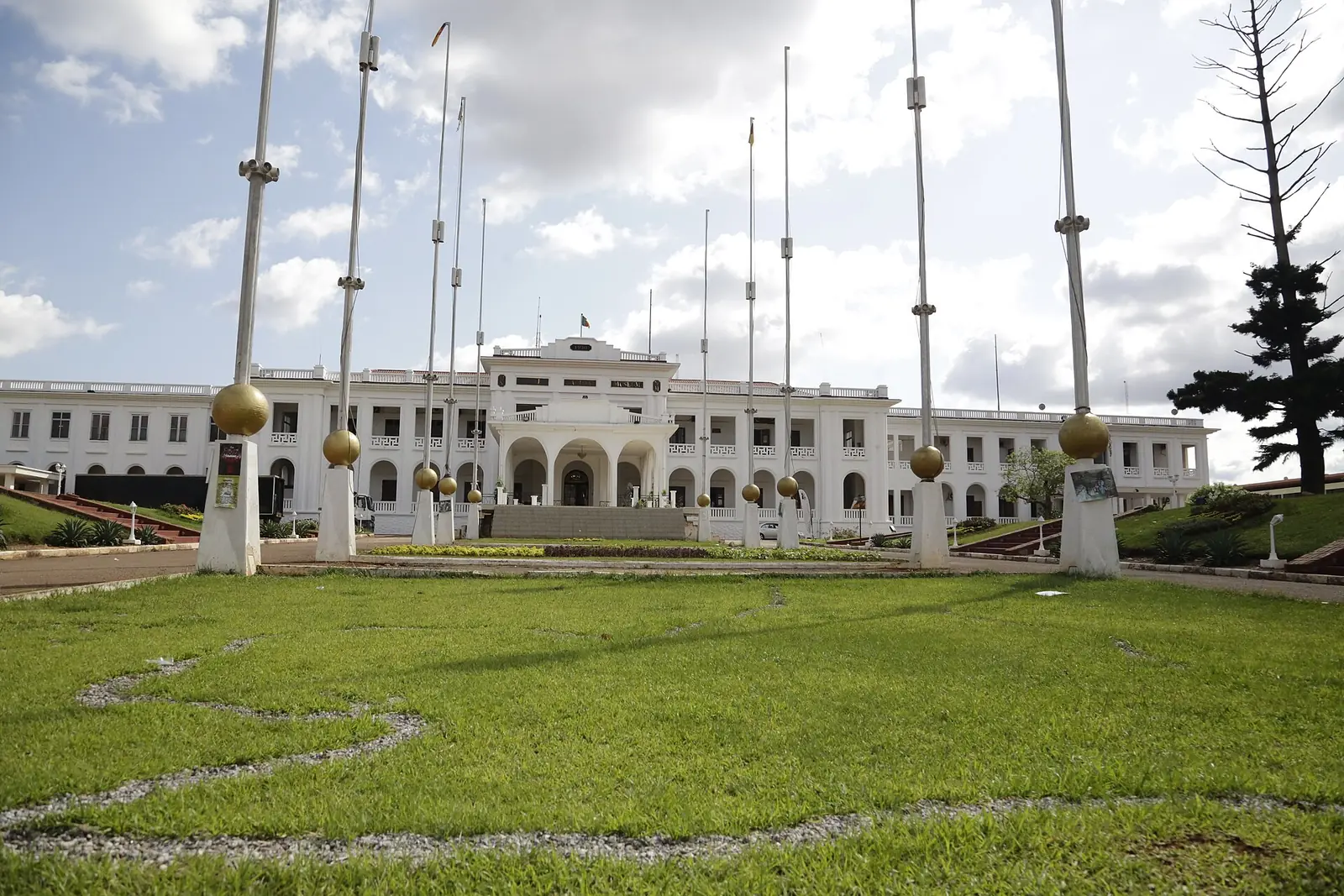
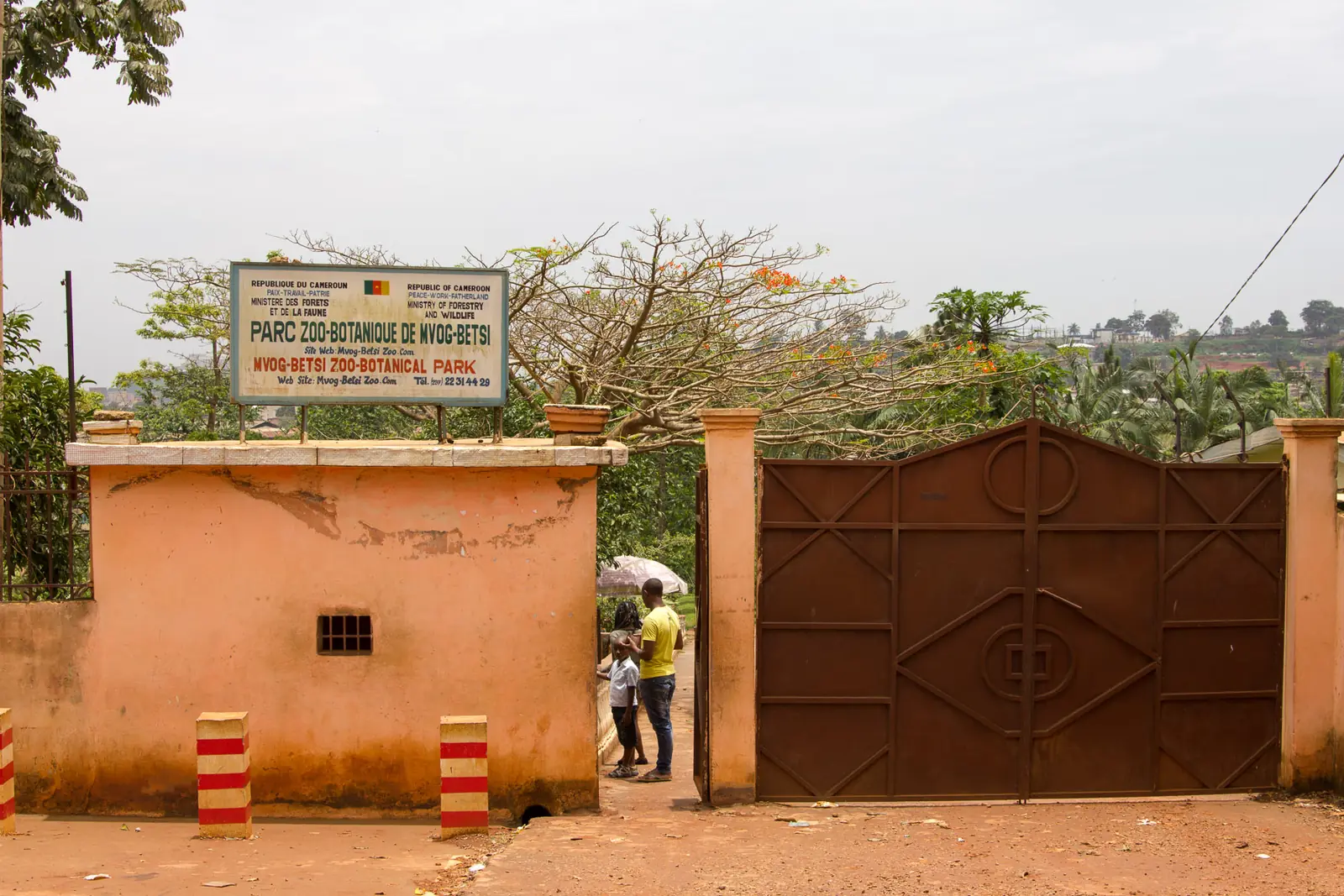
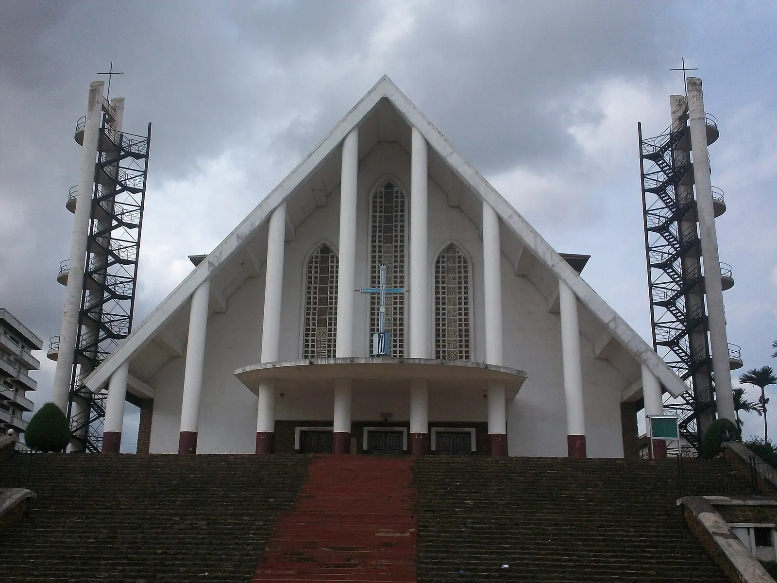
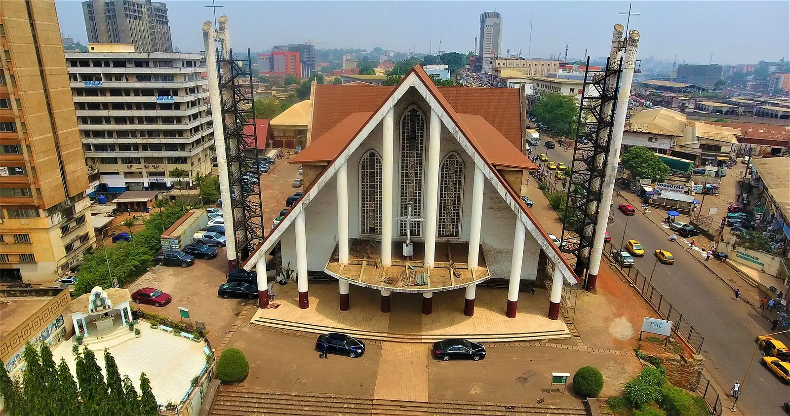
Five of the site's Centre places are in Yaoundé. OpenStreetMap places Our Lady of Victories Cathedral in Yaoundé I, Mont Fébé in Yaoundé II, the National Museum and the Reunification Monument in Yaoundé III, and the Mvog-Betsi Zoo-Botanical Garden in Yaoundé VI. The regional tourism office's 2017 inventory counted 22 tourist sites in the division, the most in the region, including nine historic monuments, five religious buildings and three museums.4,5,6
Getting there
In pictures
Map
Still to confirm
Our sources can't yet confirm these points:
- The division's area: 297 km² (INS and Osidimbea) or 287 km² (a 2015 book cited by French Wikipedia)
- The official chief town of each Yaoundé subdivision (French Wikipedia mentions both Nlongkak and Etoudi for Yaoundé I)
- Official current population of Mfoundi (the 2023 figure is an INS projection from the 2005 census)
Sources for this page
Information checked on 19 November 2026. It may have changed since.
- Annuaire statistique de la région du Centre, édition 2025: chapter 1 (relief, rivers, vegetation, protected areas; Tableau 1-2, ethnolinguistic groups), Tableaux 2-2 and 2-3 (administrative map at 31 December 2024, source MINAT), Tableau 4-6 (area and population by division, 2005 census and 2023 projection), Institut national de la statistique, Agence régionale du Centre (undated)
- Département du Mfoundi, Osidimbea, la mémoire du Cameroun (undated)
- Mfoundi, Wikipédia (19 November 2026)
- OpenStreetMap Nominatim: boundary relations of the Centre's divisions and subdivisions (search), and reverse lookups of the site's place coordinates, OpenStreetMap contributors / Nominatim (19 November 2026)
- Jardin zoo-botanique de Mvog-Betsi : fréquentation en baisse, Cameroon Tribune (undated)
- Annuaire statistique de la région du Centre, édition 2020: Tableau 21-1, tourist sites by division and type in 2017 (source MINTOUL, Centre regional delegation), Institut national de la statistique, Agence régionale du Centre (undated)
- Yaoundé Nsimalen International Airport, Wikipedia (19 November 2026)
- Nanga Eboko, Wikipedia (19 November 2026)
- Éséka, Wikipédia (19 November 2026)