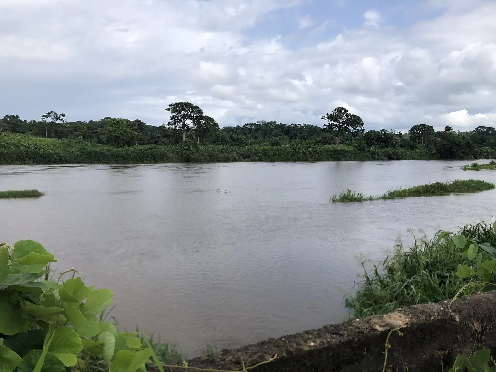
Nkam, the Littoral's forest division on the river Nkam, thinly peopled, with Yabassi, an old river port, as its chief town.
Subdivisions of Nkam Division
Nkam Division has 4 subdivisions.
Nkondjock
Chief town: Nkondjock
Nord-Makombé
Chief town: Ndobian
Yabassi
Chief town: Yabassi
Yingui
Chief town: Yingui
Where it is and what it's like
Nkam covers 6,291 km² of plateaux and hills, bordered by divisions of the Littoral and West regions. Much of it is humid equatorial forest with heavy rain, and its yellow and red forest soils suit tree crops. The relief, the dense forest and the state of the roads leave many villages cut off.1,2
Its river, the Nkam, is the upper course of the Wouri. The statistics office says the Wouri is called the Nkam upstream and rises on the Bamboutos mountains; English Wikipedia instead says the Wouri forms where the Nkam meets the Makombé, about 32 km north-east of Yabassi. The Dibamba rises in the Banen massif near Yingui.1,3
People
The 2005 census counted 36,730 people, about 5.8 per km², the lowest density in the region, and only 27.3% lived in towns. The 1987 census had counted 41,170. French Wikipedia describes a strong rural exodus to the plantations of Penja and Loum, to Édéa and to Douala. Its peoples include the Banen, Bandem, Bassa, Banya, Dibom, Bodiman, Ewodi, Mbang, Moya and Yabassi.1,2,5
History
Under German rule Yabassi was a trading post on the river, and the Battle of Jabassi was fought nearby in the First World War. The French made it the seat of its own district in 1923. A bridge over the Nkam at Yabassi, linking the old Ndokbélé quarter, opened on 11 November 1978. At Nkondjock, the state's Nkam agricultural development company, SODENKAM, set up pioneer villages before closing in the economic crisis of the 1990s.2,4,6
What it's known for
None of the site's places is in Nkam. The division lives from food crops, cocoa, coffee, rubber and oil palm, logging, river fishing and sand dredging. French Wikipedia notes a tradition of dugout canoe building, including racing canoes for the Ngondo festival in Douala. The Ekom-Nkam Waterfalls lie on the Nkam, but further north, on the boundary between Moungo and the West region.2,7
Main towns and getting there
Yabassi, the chief town, had about 12,000 people in a 2001 estimate. The other subdivision seats are Nkondjock, Yingui and Ndobian (Nord-Makombé). English Wikipedia puts Yabassi about 100 km from Douala, a hard trip for lack of paved roads.4
Map
Still to confirm
Our sources can't yet confirm these points:
- Official current population of Nkam
- Where the Wouri begins: as the upper Nkam (INS) or at the Nkam–Makombé confluence (Wikipedia)
- Current road conditions and travel times from Douala to Yabassi
- Facts from French Wikipedia's Nkam article, which is flagged as needing sources
Sources for this page
Information checked on 18 November 2026. It may have changed since.
- Annuaire statistique de la région du Littoral, édition 2023 (data to 2022): Tableau 2-1 (administrative map, source MINATD), Tableau 2-2, Tableaux 4-1 to 4-3, Institut national de la statistique, Agence régionale du Littoral (undated)
- Nkam (département), Wikipédia (18 November 2026)
- Wouri River, Wikipedia (18 November 2026)
- Yabassi, Wikipedia (18 November 2026)
- Departments of Cameroon, Statoids (24 January 2009)
- Département du Wouri, Osidimbea, la mémoire du Cameroun (undated)
- OpenStreetMap Nominatim: boundary relations of the Littoral's divisions and subdivisions (search), and reverse lookups of the site's place coordinates, OpenStreetMap contributors / Nominatim (18 November 2026)