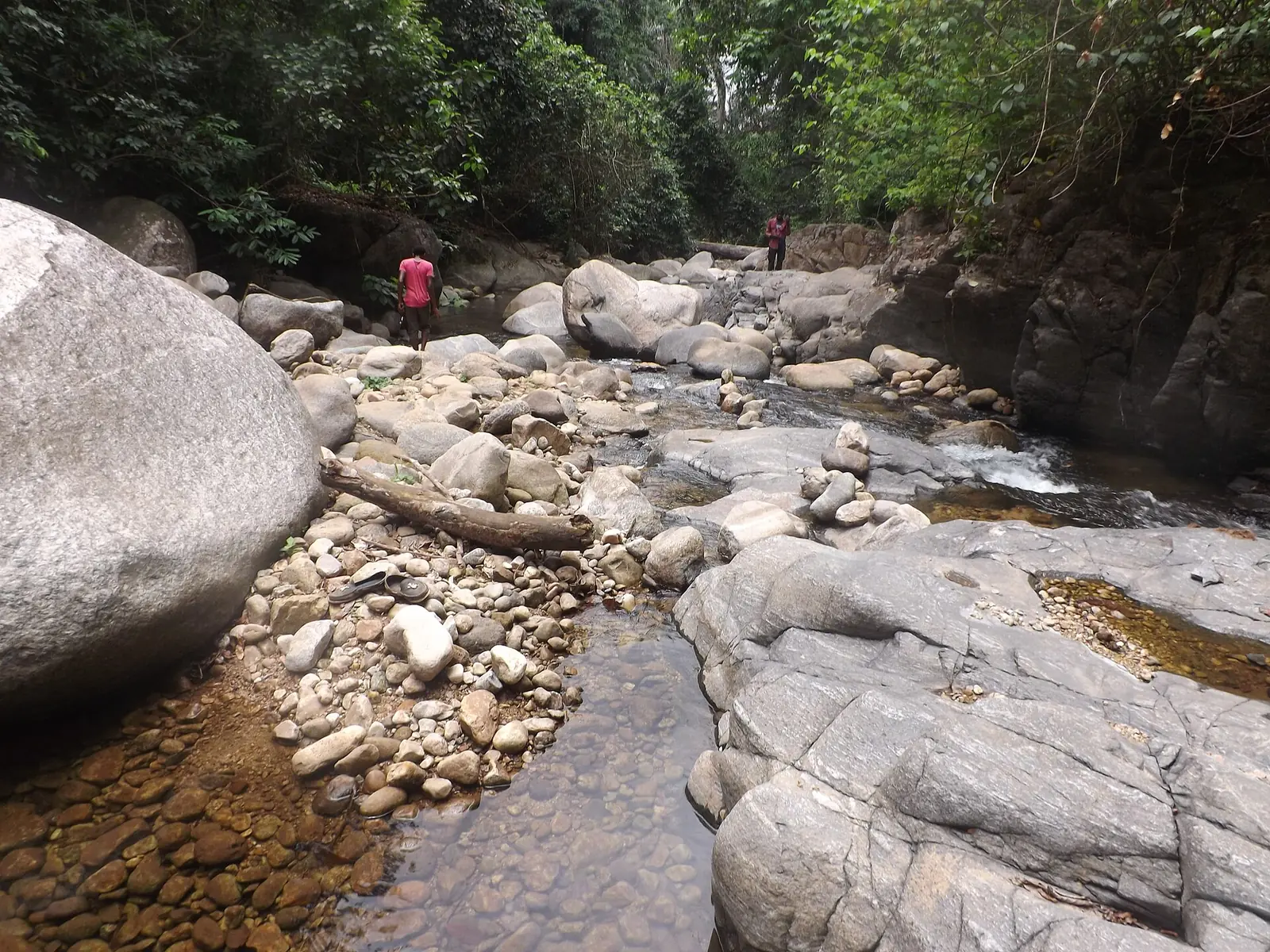
Lebialem, the Southwest's smallest division: Bangwa and Mundani highland fondoms around Menji, Alou and Wabane.
Subdivisions of Lebialem Division
Lebialem Division has 3 subdivisions.
Alou
Chief town: Alou
Fontem
Chief town: Menji
Wabane
Chief town: Wabane
Where it is and what it's like
Peoples and languages
The 2005 census counted 113,736 people: 39,706 in Fontem, 38,175 in Wabane and 35,855 in Alou. French Wikipedia also gives 144,560 for 2001, which doesn't match. The Mundani live in the north and the Bangwa in the south, with Mbo, Banyangi and Bamiléké minorities.1,4,3
The Bangwa speak Ngwe, or Nweh, a Grassfields language whose closest relatives are Yemba and Ngiemboon; it had about 73,000 speakers in 2001. Mundani, a Southern Bantoid language, is spoken in the fondoms of Wabane, among them Nkong, Bangang, Besali, Bechati and Bamumbu. The speaker figure cited for it, 34,000, dates from 1987.6,7
History and heritage
Main towns
In pictures
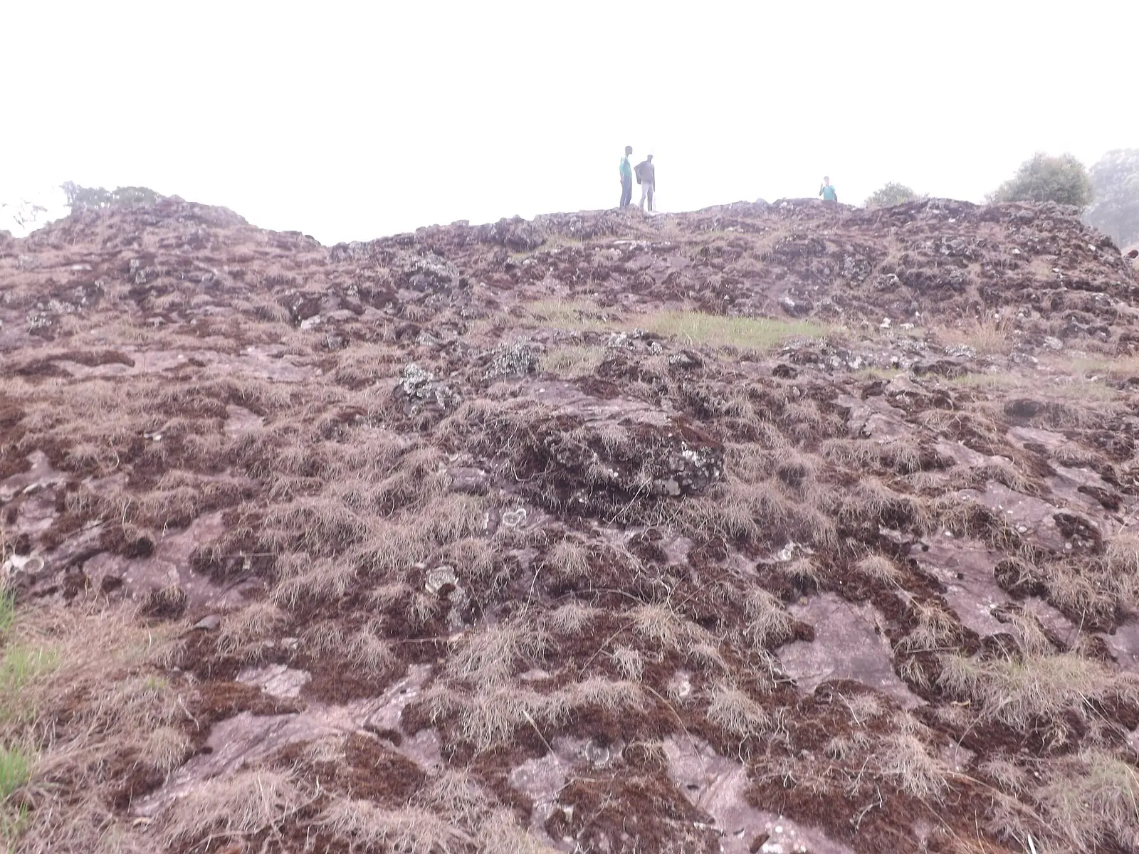
Map
Still to confirm
Our sources can't yet confirm these points:
- The decree and year creating the division (Osidimbea gives 1998)
- The division's area: 617 km² (INS) against 642 km² summed from French Wikipedia's communes
- Where the Lebialem Falls are, and their height
- A current population count: the latest census is from 2005
Sources for this page
Information checked on 19 November 2026. It may have changed since.
- Annuaire statistique de la région du Sud-Ouest, édition 2023: chapter 1 (relief, rivers), Tableau 2-1 (subdivisions by division, source MINAT), Tableaux 4-2, 4-3 and 4-10 (area, population, 2005 census by subdivision), Institut national de la statistique, Agence régionale du Sud-Ouest (undated)
- Département du Lebialem, Osidimbea (19 November 2026)
- Lebialem, Wikipedia (19 November 2026)
- Lebialem, Wikipédia (19 November 2026)
- Fontem, Wikipedia (19 November 2026)
- Ngwe language, Wikipedia (19 November 2026)
- Mundani language, Wikipedia (19 November 2026)
- Région du Sud-Ouest: les départements, Osidimbea (19 November 2026)