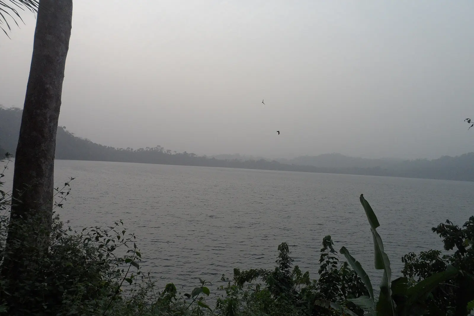
Meme, the Southwest's cocoa and trading division around Kumba, with the Lake Barombi Mbo crater lake and Bafaw and Oroko lands.
Subdivisions of Meme Division
Meme Division has 5 subdivisions.
Konye
Chief town: Konye
Kumba I
Chief town: Kumba
Kumba II
Chief town: Kumba
Kumba III
Chief town: Kumba
Mbonge
Chief town: Mbonge
Places in Meme Division
Where it is and what it's like
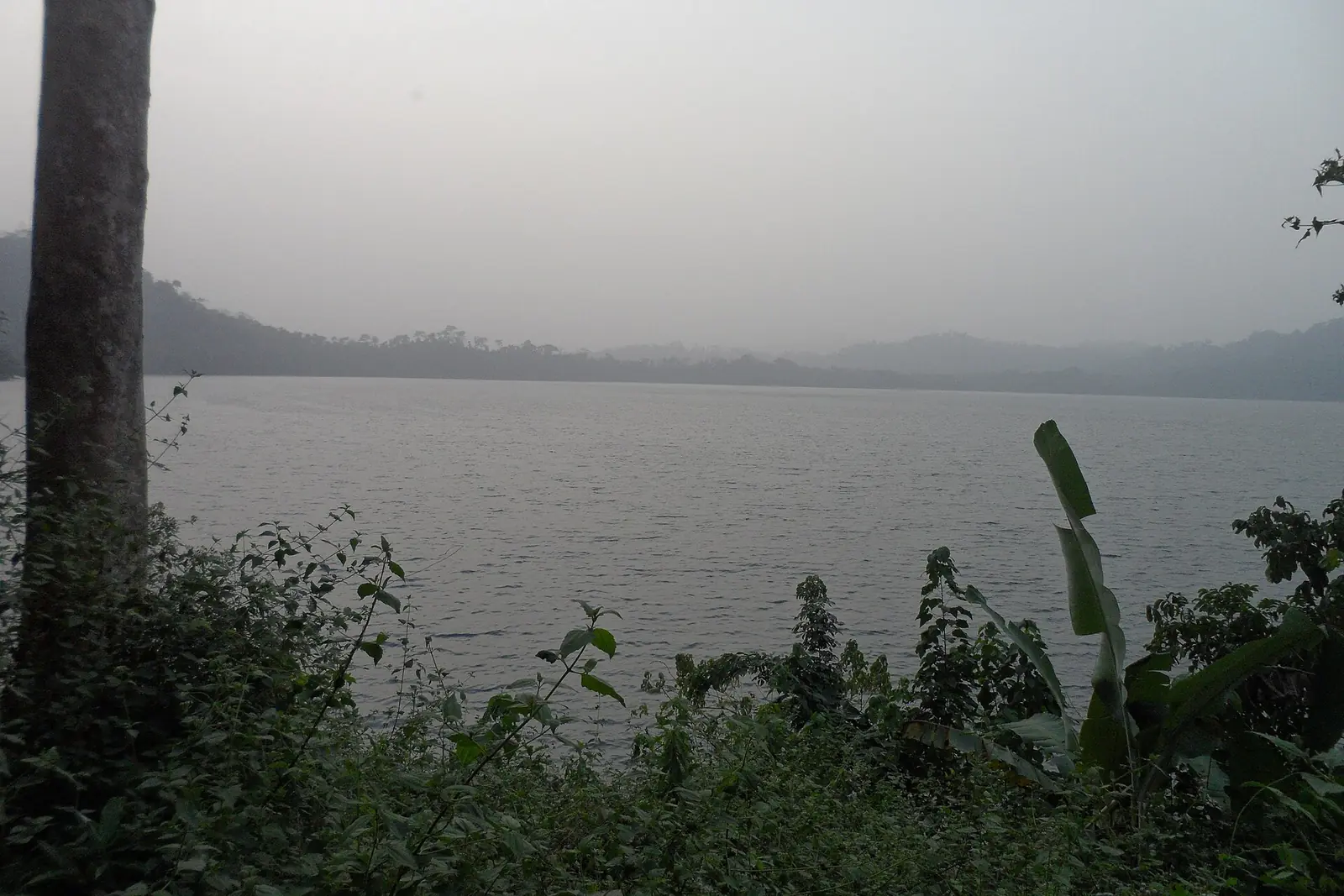
Meme covers 3,105 km² in the middle of the region. It shares its name with the Meme river, which the statistics office lists among the rivers navigable in their lower reaches. Lake Barombi Mbo, a crater lake near Kumba, is up to 2.15 km across and 111 m deep. It became a Ramsar wetland in 2006, and 11 of its cichlid species and a catfish are found nowhere else.1,5
Peoples and languages
The 2005 census counted 326,734 people, a quarter of the region (24.8%) and 105.2 per km²: 166,331 in Kumba, 115,692 in Mbonge and 44,711 in Konye. Kumba's first inhabitants were the Bafaw and Bakundu, who speak Lifaw and Bakundu, an Oroko variety. The Oroko live in the mangrove plains of Meme and Ndian, and their language is a cluster of nine dialects, one of them Lombongi, from Mbonge. Kitwii, a form of Kenyang, is also spoken in Meme.1,4,6,7
History
Under German rule Kumba was the capital of Rio del Rey division, and it stayed so into the British period. Local tradition credits a hunter, Midiki Bokeng, with founding the town, and Abel Mukete became its first paramount chief in 1929. The name is said to come from a Bafaw word for an umbrella tree. Osidimbea dates the division to 1975.4,8
What it's known for
The site lists Lake Barombi Mbo here; OpenStreetMap places it in Kumba II subdivision. OpenStreetMap also puts Mount Cameroon's summit just inside Mbonge subdivision, on the Fako boundary. Kumba, nicknamed the Green City, trades in cocoa, palm oil and rubber, and has a growing timber industry. English Wikipedia flags its Kumba article as needing more citations.4,5,9
Main towns
In pictures
Map
Still to confirm
Our sources can't yet confirm these points:
- The decree creating Kumba I, II and III, and the quarter each subdivision is seated in
- Which Kumba subdivision Lake Barombi Mbo belongs to officially
- A current population count: the latest census is from 2005, and Kumba's 2025 figure is an estimate
Sources for this page
Information checked on 19 November 2026. It may have changed since.
- Annuaire statistique de la région du Sud-Ouest, édition 2023: chapter 1 (relief, rivers), Tableau 2-1 (subdivisions by division, source MINAT), Tableaux 4-2, 4-3 and 4-10 (area, population, 2005 census by subdivision), Institut national de la statistique, Agence régionale du Sud-Ouest (undated)
- Département de la Meme, Osidimbea (19 November 2026)
- Meme (department), Wikipedia (19 November 2026)
- Kumba, Cameroon, Wikipedia (19 November 2026)
- Lake Barombi Mbo, Wikipedia (19 November 2026)
- Oroko people, Wikipedia (19 November 2026)
- Kenyang language, Wikipedia (19 November 2026)
- Région du Sud-Ouest: les départements, Osidimbea (19 November 2026)
- OpenStreetMap Nominatim: searches for the Southwest's division and subdivision seats, and reverse lookups of the site's place coordinates, OpenStreetMap contributors / Nominatim (19 November 2026)