Méfou-et-Afamba, east of Yaoundé: Mfou, the Mefou Primate Sanctuary, Nsimalen airport and the university town of Soa.
Subdivisions of Méfou-et-Afamba Division
Méfou-et-Afamba Division has 8 subdivisions.
Afanloum
Chief town: Afanloum
Awaé
Chief town: Awaé
Edzendouan
Chief town: Edzendouan
Essé
Chief town: Essé
Mfou
Chief town: Mfou
Nkolafamba
Chief town: Nkolafamba
Olanguina
Chief town: Olanguina
Soa
Chief town: Soa
Places in Méfou-et-Afamba Division
Where it is and what it's like
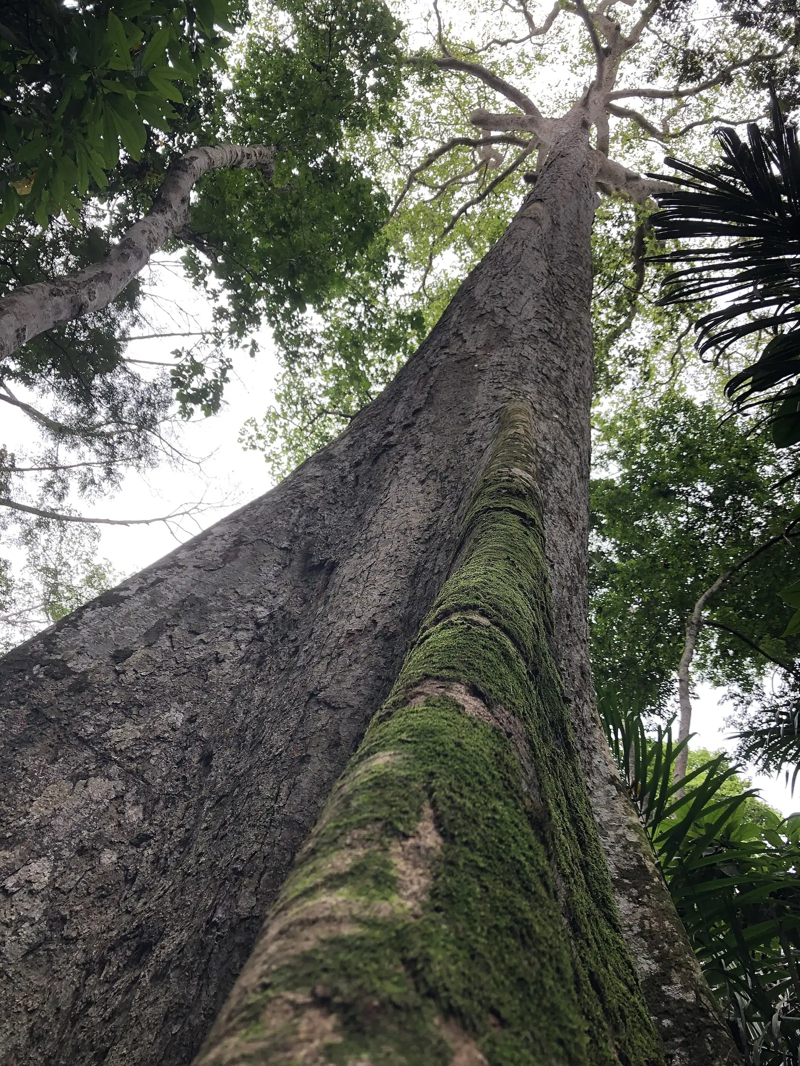
Méfou-et-Afamba lies east of Yaoundé: Soa borders the city's Yaoundé V borough, and Mfou, the chief town, is south-east of the capital. It covers 3,338 km² of semi-deciduous forest country, drained by the Mefou and the Afamba, which give it its name. At Olanguina, French Wikipedia describes dense forest and rivers such as the Afamba and the Assamba.1,4,5,6
People
The 2005 census counted 126,025 people. The statistics office projects 704,072 for 2023, a jump that reflects Yaoundé's growth into the division: it projects about 269,000 for Nkolafamba subdivision, 201,000 for Soa and 149,000 for Mfou. It lists Fang groups (Etudi, Ntumu) and Beti groups (Bene, Ewondo); French Wikipedia describes Olanguina's people as Mvele.1,4
History
The division was created when the old Mefou division was split into Méfou-et-Afamba and Méfou-et-Akono. Osidimbea's page for the division gives decree 92/186 of 1 September 1992, while its Mfoundi page and French Wikipedia give 1995. Afanloum, Edzendouan, Nkolafamba and Olanguina became arrondissements in 2010, and the Soa arrondissement dates from 1979.2,7,8,5
What it's known for
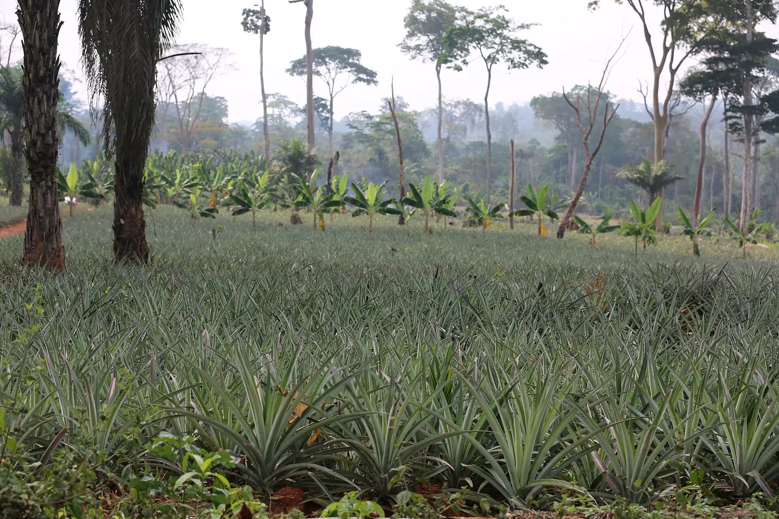
The site's Mefou Primate Sanctuary, run by Ape Action Africa for rescued gorillas, chimpanzees and monkeys, is in the Mfou council area according to OpenStreetMap, as is Yaoundé Nsimalen International Airport, opened in 1991. Soa, on Yaoundé's north-eastern edge, is a university town: the main campus of the University of Yaoundé II, founded in 1993, covers 325 ha there, and has hosted a Confucius Institute since 2007. Further north-east, Olanguina grows cocoa, coffee, oil palm and, increasingly, pineapple. The regional tourism office's 2017 inventory counted nine sites in the division, four of them hills or rocks.3,9,10,5,4,11
Main towns and getting there
In pictures
Map
Still to confirm
Our sources can't yet confirm these points:
- The year of creation: 1992 (decree 92/186, per Osidimbea) or 1995 (French Wikipedia)
- The name and chief town of the Olanguina subdivision: the INS map says Olanguina, its population table and Osidimbea say Assamba, and French Wikipedia gives each as the other's chief town
- The status of Mefou National Park, described by the statistics office in 2020 as being created
Sources for this page
Information checked on 19 November 2026. It may have changed since.
- Annuaire statistique de la région du Centre, édition 2025: chapter 1 (relief, rivers, vegetation, protected areas; Tableau 1-2, ethnolinguistic groups), Tableaux 2-2 and 2-3 (administrative map at 31 December 2024, source MINAT), Tableau 4-6 (area and population by division, 2005 census and 2023 projection), Institut national de la statistique, Agence régionale du Centre (undated)
- Département de la Mefou et Afamba, Osidimbea, la mémoire du Cameroun (undated)
- OpenStreetMap Nominatim: boundary relations of the Centre's divisions and subdivisions (search), and reverse lookups of the site's place coordinates, OpenStreetMap contributors / Nominatim (19 November 2026)
- Olanguina, Wikipédia (19 November 2026)
- Soa (Cameroun), Wikipédia (19 November 2026)
- Mfou, Wikipédia (19 November 2026)
- Département du Mfoundi, Osidimbea, la mémoire du Cameroun (undated)
- Méfou-et-Afamba, Wikipédia (19 November 2026)
- Visit our sanctuary, Ape Action Africa (undated)
- Yaoundé Nsimalen International Airport, Wikipedia (19 November 2026)
- Annuaire statistique de la région du Centre, édition 2020: Tableau 21-1, tourist sites by division and type in 2017 (source MINTOUL, Centre regional delegation), Institut national de la statistique, Agence régionale du Centre (undated)