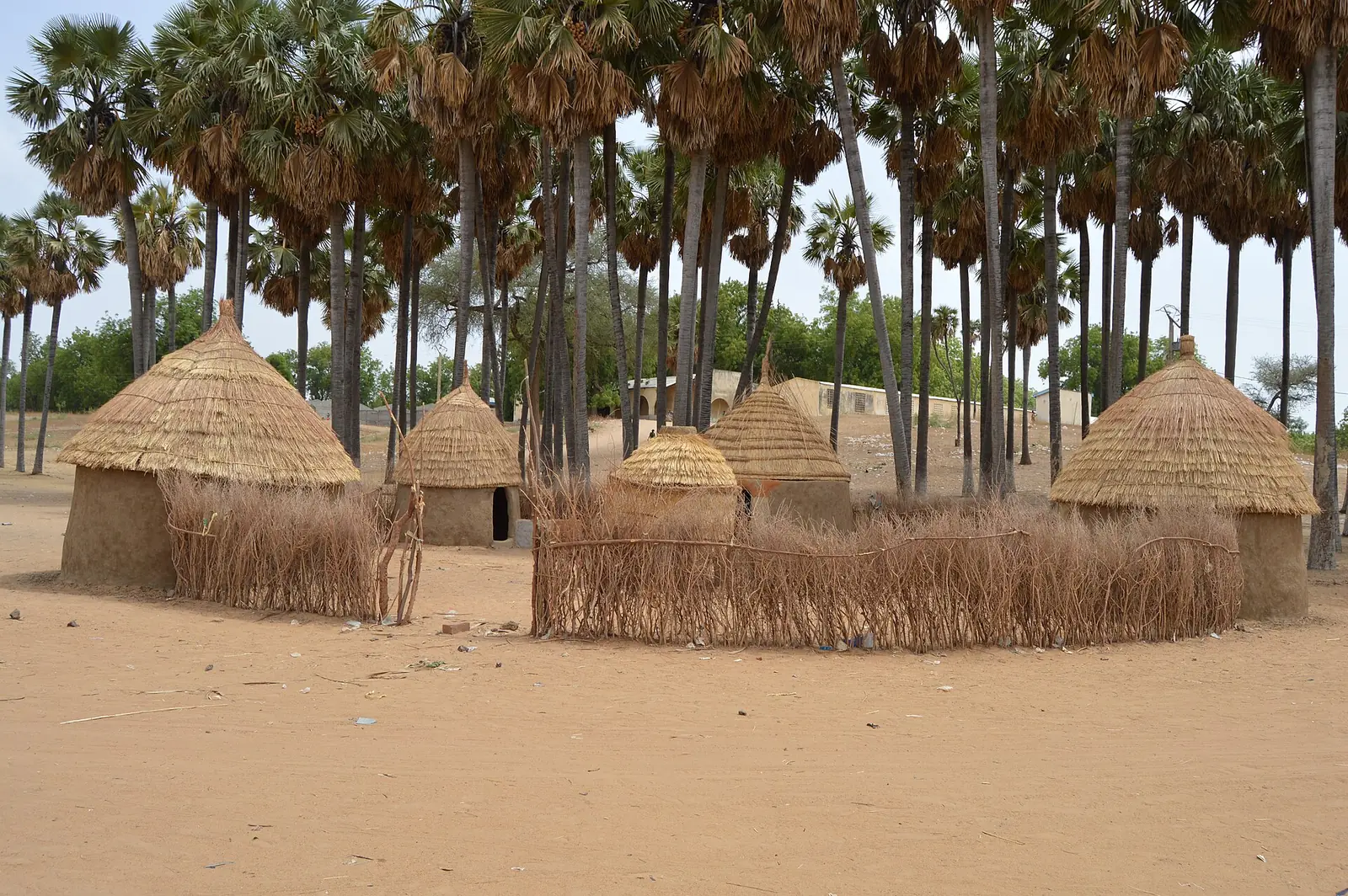
Mayo-Danay, the Far North division on the Logone: Yagoua, Lake Maga and Lake Guéré, rice plains, and Massa, Tupuri and Musgum country.
Subdivisions of Mayo-Danay Division
Mayo-Danay Division has 11 subdivisions.
Yagoua
Chief town: Yagoua
Datcheka
Chief town: Datcheka
Gobo
Chief town: Gobo
Guéré
Chief town: Guéré
Kaï-Kaï
Chief town: Kaï-Kaï
Kalfou
Chief town: Kalfou
Kar-Hay
Chief town: Doukoula
Maga
Chief town: Maga
Tchatibali
Chief town: Tchatibali
Vélé
Chief town: Vélé
Wina
Chief town: Djongdong
Places in Mayo-Danay Division
Where it is and what it's like
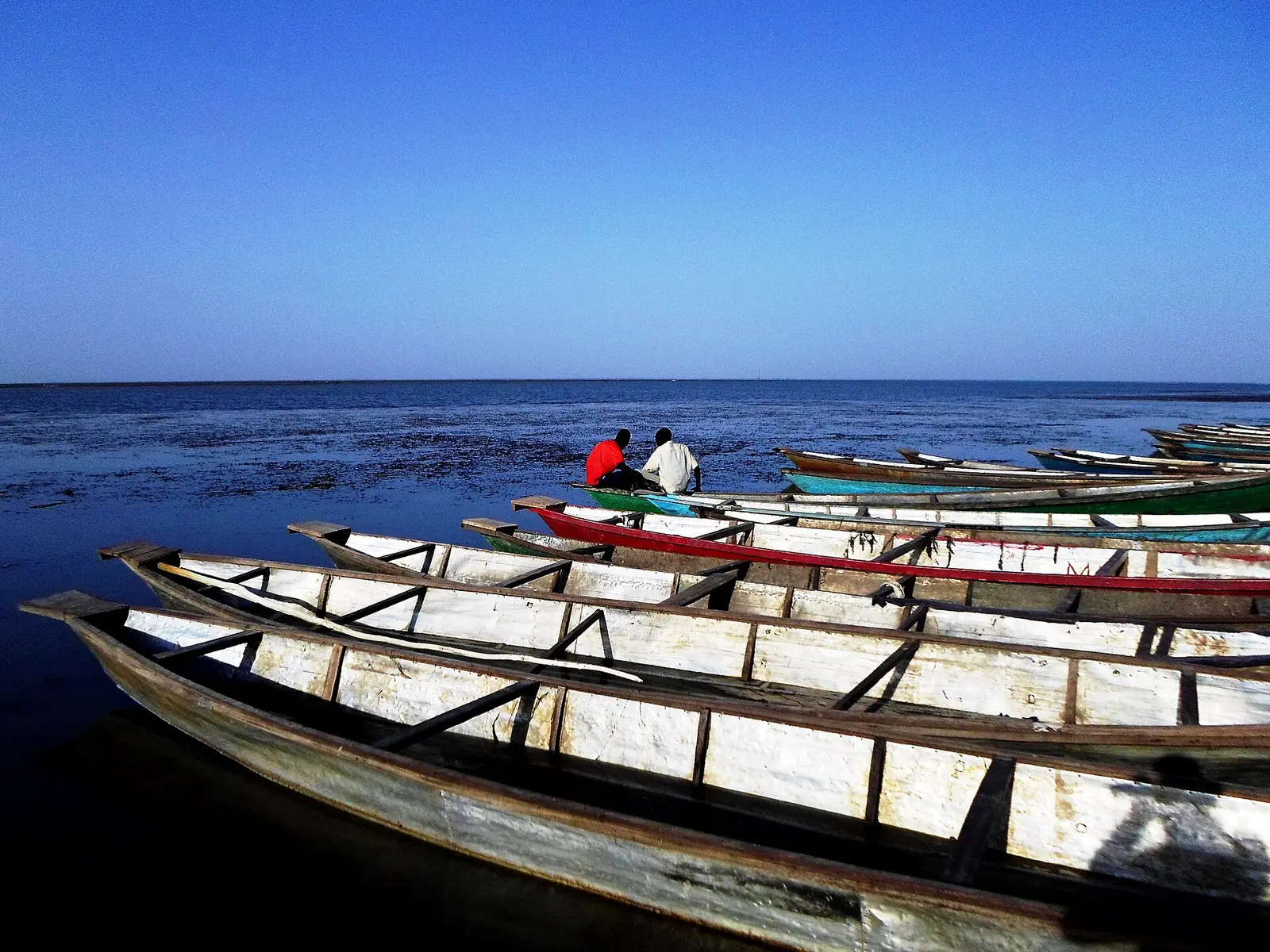
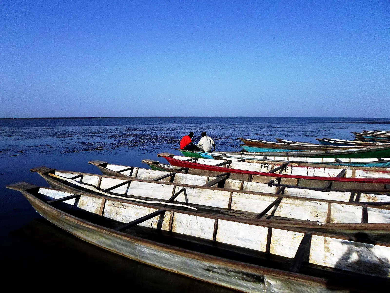
Mayo-Danay is the eastern division of the Far North, on the Cameroonian bank of the Logone, which forms the border with Chad. Its name joins the Fulfulde word maayo, 'river', with the Danay. It is a low plain of rice fields, pasture and floodland, with two large lakes: Lake Maga, a reservoir formed by the Maga dam in 1979, and Lake Guéré, a natural lake that, according to the INS, continues into Chad, where it is called Fianga.4,6,1
Yagoua has a hot semi-arid climate, with little or no rain from October to April and moderate to heavy rain from May to September. The INS gives the division an area of 5,300 km², and French Wikipedia 5,303 km².5,1,4
People
The 2005 census counted 529,061 people, and the INS projects 711,840 for 2017, or 134 per km². The INS names the Tupuri, Massa, Musgum and Fulani as the main groups. English Wikipedia places the Tupuri in the Kar-Hay subdivision and the Musgum in Maga and Kaï-Kaï, and French Wikipedia notes that Masana, the Massa language, is spoken around Yagoua.1,2,7,8,10
The eleven subdivisions are Yagoua, Datcheka, Gobo, Guéré, Kaï-Kaï, Kalfou, Kar-Hay, Maga, Tchatibali, Vélé and Wina. The council that covers Vélé is called Guémé.1,2,11
History
Osidimbea traces Yagoua from a subdivision of the Maroua district in 1916 to the Mayo-Danaï region, created by law 58-74 of 30 June 1958, which became a division by decree 59-138 of 8 August 1959. The Kar-Hay council plan dates that unit to ordinance 61/16 of 24 June 1961 and ties its history to the town of Doukoula.3,15
The Maga dam of 1979 reshaped the plain. English Wikipedia notes that it diverted water that once flowed into the floodplains downstream, and the INS lists the irrigated rice fields of Yagoua and Maga run by the SEMRY.6,1
What it's known for
Lake Maga, one of the site's places, is in the Maga subdivision according to OpenStreetMap; the INS describes a lake of 20,000 ha behind a 27 km dike, rich in fish and with hippos. The Musgum shell-shaped earth houses, or cases obus, are built in the Maga area: Wikipedia describes these domes, up to about 9 m tall, and the INS lists those at Mourla and the earthen palace of the sultan of Pouss. The INS also names Gobo's cattle market, among the largest in northern Cameroon, the Doukoula poultry market, Pouss's fish market and the Kalfou reserve, which French Wikipedia dates to 1933.16,1,9,12
Main towns
In pictures
Map
Still to confirm
Our sources can't yet confirm these points:
- An official current population for Mayo-Danay and its subdivisions (the latest INS figures are 2017 projections)
- The seats of the Kar-Hay (Doukoula?) and Vélé (Vélé or Guémé?) subdivisions
- The size of Lake Maga, which varies with the season
- Yagoua's 2005 population: French Wikipedia gives 191,979, the INS 91,979 for the subdivision
Sources for this page
Information checked on 19 November 2026. It may have changed since.
- Annuaire statistique 2018 de la région de l'Extrême-Nord, édition 2019: Tableau 1-1 (areas, source DREPAT), Tableau 2-1 (administrative map, source MINATD), main ethnic groups, Tableau 3-1 (2017 projections), Tableau 3-4 (2005 census by subdivision), Tableau 21-1 (heritage sites, source DR-MINTOUL), Institut national de la statistique, Agence régionale de l'Extrême-Nord (undated)
- Mayo-Danay: department, census counts 1987 and 2005 by subdivision, City Population (Thomas Brinkhoff), citing BUCREP and INS (19 November 2026)
- Département du Mayo-Danay: administrative history, Osidimbea (19 November 2026)
- Mayo-Danay, Wikipédia (19 November 2026)
- Yagoua, Wikipedia (19 November 2026)
- Maga Dam, Wikipedia (19 November 2026)
- Tupuri people, Wikipedia (19 November 2026)
- Musgum people, Wikipedia (19 November 2026)
- Musgum mud huts, Wikipedia (19 November 2026)
- Yagoua, Wikipédia (19 November 2026)
- Guémé, Wikipédia (19 November 2026)
- Kalfou, Wikipédia (19 November 2026)
- Gobo (Cameroun), Wikipédia (19 November 2026)
- Kar-Hay, Wikipédia (19 November 2026)
- Plan communal de développement de Kar-Hay, Commune de Kar-Hay, Programme national de développement participatif (PNDP) (undated)
- Nominatim search and reverse lookups for the division's places and subdivisions, OpenStreetMap contributors (19 November 2026)