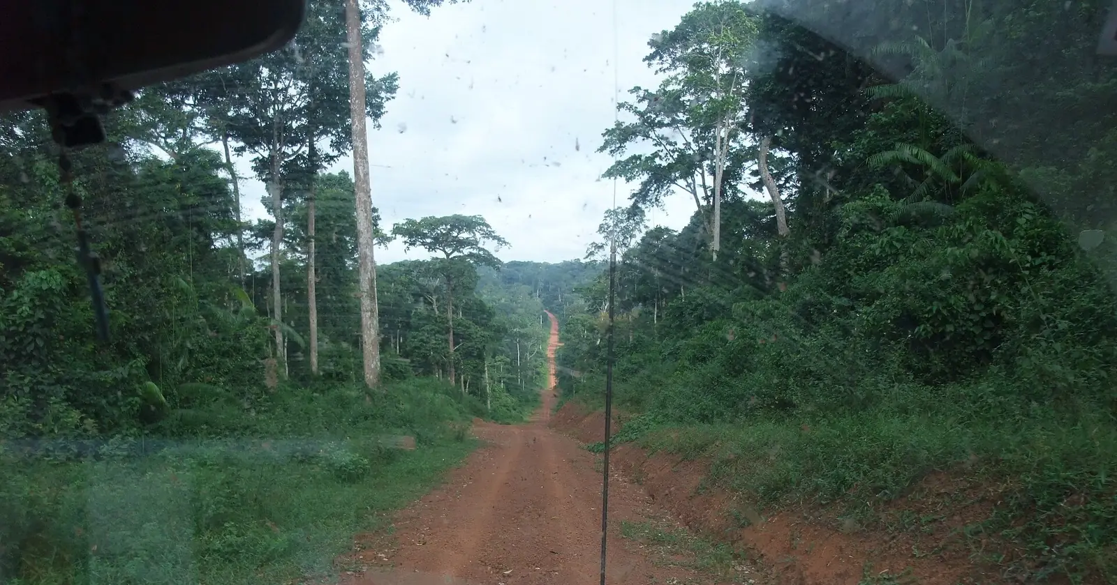
Boumba-et-Ngoko, Cameroon's far south-east: rainforest around Yokadouma and Moloundou, with Lobéké, Boumba-Bek and Nki national parks.
Subdivisions of Boumba-et-Ngoko Division
Boumba-et-Ngoko Division has 4 subdivisions.
Gari-Gombo
Chief town: Gari-Gombo
Moloundou
Chief town: Moloundou
Salapoumbé
Chief town: Salapoumbé
Yokadouma
Chief town: Yokadouma
Places in Boumba-et-Ngoko Division
- Population
- 115,354 (2005 census)4
Where it is and what it's like
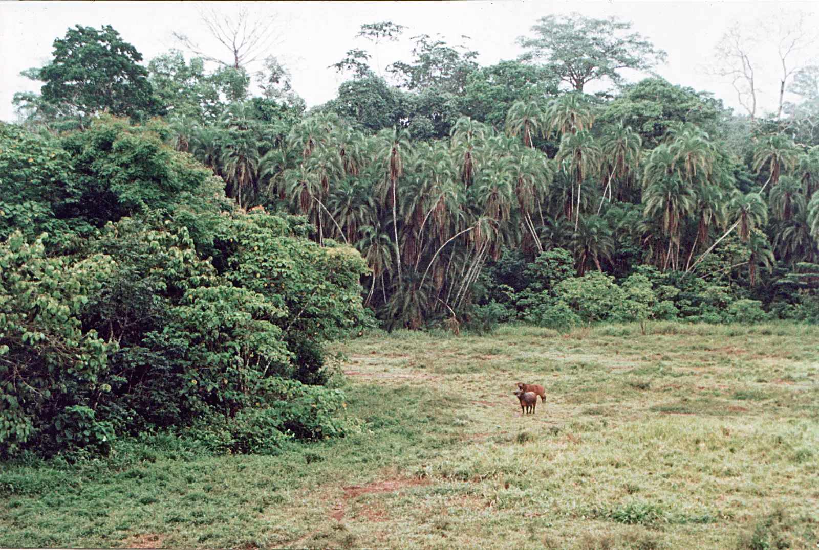
Boumba-et-Ngoko is Cameroon's far south-east, 30,389 km² of rainforest between the Central African Republic and Congo. The Boumba flows through its centre and south-east, the Ngoko (as the Dja is called downstream) forms the border with Congo, and the Sangha the border with the Central African Republic. The land falls to plains of 200 to 500 m in this corner of the region; Yokadouma stands at 560 m.2,3,5,6,7
People
The 2005 census counted 115,354 people, the fewest of the East's divisions, at under four per km². The Mpo live around the road from Ndélélé to Yokadouma, with a Mpoman enclave at Lokomo, the Kunbabeeg to their west and the Bangantu east of the Yokadouma–Moloundou road. Around Moloundou live Djem, Bangando, Bakwele and Zime peoples, with Baka forest communities and workers who came for the logging industry.4,5,6
History
In the 1890s the Moloundou area was one of Africa's richest rubber regions, and the Germans set up a rubber-processing plant there. Under French rule, Yokadouma was one of the three circumscriptions of the East Cameroon region formed in 1920. It became the Boumba-Ngoko region in 1935, was abolished in 1939 and attached to Lom-et-Kadéï, was restored on 26 May 1950, and became a division by decree 59-138 of 8 August 1959. On 15 November 1954, a sleeping-sickness injection campaign at Yokadouma left 32 people dead and more than 300 with gangrene.6,1,7
What it's known for
Most of the site's East places are here. Lobéké National Park, declared in 1999 near the Sangha, has been part of the Sangha Trinational World Heritage site, with parks in Congo and the Central African Republic, since 2012. Boumba-Bek lies between the Boumba and Bek rivers, which a 2001 assessment describes as reachable only by pirogue and hunters' trails. Nki National Park, created in 2005, straddles Moloundou and Ngoyla in Haut-Nyong. OpenStreetMap places Lobéké and the village of Mambélé in the Moloundou subdivision, and the site's map point for Boumba-Bek in Salapoumbé. Cocoa and coffee are grown around Yokadouma, and the site's page on the Baka people covers the forest communities of the region.8,9,10,11,12,5
Main towns and getting there
Yokadouma, the chief town and seat of a Catholic diocese since 1991, is given 24,430 people for 2012. Moloundou sits on the north bank of the Ngoko, on the Congo border, and Salapoumbé and Gari-Gombo are the other subdivision centres. National Road 10 runs from Batouri to Ndélélé, then turns south through Yokadouma and ends at Moloundou. A 155.5 km road through Ndélélé and Gari-Gombo to Yokadouma was handed over at the end of 2021.7,6,1,5,13
Map
Still to confirm
Our sources can't yet confirm these points:
- Population of the division and its subdivisions after the 2005 census
- The creation dates and decrees of the Gari-Gombo and Salapoumbé subdivisions
- Which subdivisions Lobéké, Boumba-Bek and Nki cover: older sources place Lobéké in Moloundou, from which Salapoumbé appears to have been formed
- Current condition of the roads from Batouri and Yokadouma to Moloundou
Also nearby
Sources for this page
Information checked on 19 November 2026. It may have changed since.
- Département de la Boumba et Ngoko, Osidimbea, la mémoire du Cameroun (undated)
- Boumba-et-Ngoko, Wikipédia (19 November 2026)
- Departments of Cameroon: areas from the Annuaire statistique du Cameroun 2006 and earlier census figures, Statoids (Gwillim Law), page updated 2009-01-24 (24 January 2009)
- Cameroon: departments and arrondissements, 2005 census (11 November 2005), from BUCREP and INS data, City Population (Thomas Brinkhoff) (19 November 2026)
- East Region (Cameroon), Wikipedia (19 November 2026)
- Moloundou, Wikipedia (19 November 2026)
- Yokadouma, Wikipedia (19 November 2026)
- Lobéké National Park, Wikipedia (19 November 2026)
- Sangha Trinational, Wikipedia (19 November 2026)
- Boumba - Bek (KBA 6133), assessed 2001, Key Biodiversity Areas (19 November 2026)
- Nki National Park, Wikipedia (19 November 2026)
- OpenStreetMap Nominatim: boundary relations of the East's divisions and subdivisions (search), and reverse lookups of the site's place coordinates, OpenStreetMap contributors / Nominatim (19 November 2026)
- Routes : ça circule mieux à l'Est, Cameroon Tribune (6 June 2022)