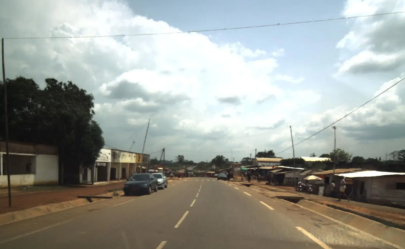
Méfou-et-Akono, south-west of Yaoundé: forest country of four subdivisions around Ngoumou, Akono, Bikok and the growing town of Mbankomo.
Subdivisions of Méfou-et-Akono Division
Méfou-et-Akono Division has 4 subdivisions.
Akono
Chief town: Akono
Bikok
Chief town: Bikok
Mbankomo
Chief town: Mbankomo
Ngoumou
Chief town: Ngoumou
Where it is and what it's like
People
The 2005 census counted 59,017 people, and the statistics office projects 232,897 for 2023. It lists the Beti groups of the Ewondo, Tsinga and Yanda; French Wikipedia adds the Etenga and Bene at Bikok. It describes the original population of Mbankomo as Ewondo, with many settlers from elsewhere in Cameroon.1,4,5
History
The division was formed when the old Mefou was split; Osidimbea gives decree 92/186 of 1 September 1992, while other sources give 1995. Its four arrondissements are older: Osidimbea dates Ngoumou to 1964 and Akono, Bikok and Mbankomo to 1974. Mbankomo council, first called Ndjongolo Centre, took its present name in 1974, when its Mvolyé groupings were attached to Yaoundé.2,6,5
What it's known for
Mbankomo is home to a national sports academy centre, the Centre sportif académique de Mbankomo. At Akono, the Catholic mission's church was built between 1933 and 1937, and the mission also runs the Collège Stoll, a school founded in 1963. The regional tourism office's 2017 inventory counted five sites in the division, including a lake, two hills or rocks and a religious building. A railway reached Ngoumou in 1927, on a branch to Mbalmayo; the Ngoumou–Mbalmayo section was later abandoned. None of the site's places is in this division yet.5,7,8,9
Main towns and getting there
Mbankomo lies on the N3 south-west of Yaoundé, north of the chief town Ngoumou. Akono, about 60 km from Yaoundé, is on the paved Yaoundé–Olama–Kribi road built in 2007, and the Nyong forms the subdivision's southern edge. Bikok borders Yaoundé III. The statistics office projects about 144,000 people for Mbankomo subdivision in 2023, against about 39,000 for Bikok, 33,000 for Ngoumou and 17,000 for Akono.5,7,4,1
In pictures
Map
Still to confirm
Our sources can't yet confirm these points:
- The year of creation: 1992 (decree 92/186, per Osidimbea) or 1995 (French Wikipedia)
- Official current population (the 2023 figures are INS projections from the 2005 census)
- Which lake the 2017 inventory lists in the division
Sources for this page
Information checked on 19 November 2026. It may have changed since.
- Annuaire statistique de la région du Centre, édition 2025: chapter 1 (relief, rivers, vegetation, protected areas; Tableau 1-2, ethnolinguistic groups), Tableaux 2-2 and 2-3 (administrative map at 31 December 2024, source MINAT), Tableau 4-6 (area and population by division, 2005 census and 2023 projection), Institut national de la statistique, Agence régionale du Centre (undated)
- Département de la Mefou et Akono, Osidimbea, la mémoire du Cameroun (undated)
- OpenStreetMap Nominatim: boundary relations of the Centre's divisions and subdivisions (search), and reverse lookups of the site's place coordinates, OpenStreetMap contributors / Nominatim (19 November 2026)
- Bikok, Wikipédia (19 November 2026)
- Mbankomo, Wikipédia (19 November 2026)
- Département du Mfoundi, Osidimbea, la mémoire du Cameroun (undated)
- Akono, Wikipédia (19 November 2026)
- Annuaire statistique de la région du Centre, édition 2020: Tableau 21-1, tourist sites by division and type in 2017 (source MINTOUL, Centre regional delegation), Institut national de la statistique, Agence régionale du Centre (undated)
- Mbalmayo, Wikipédia (19 November 2026)