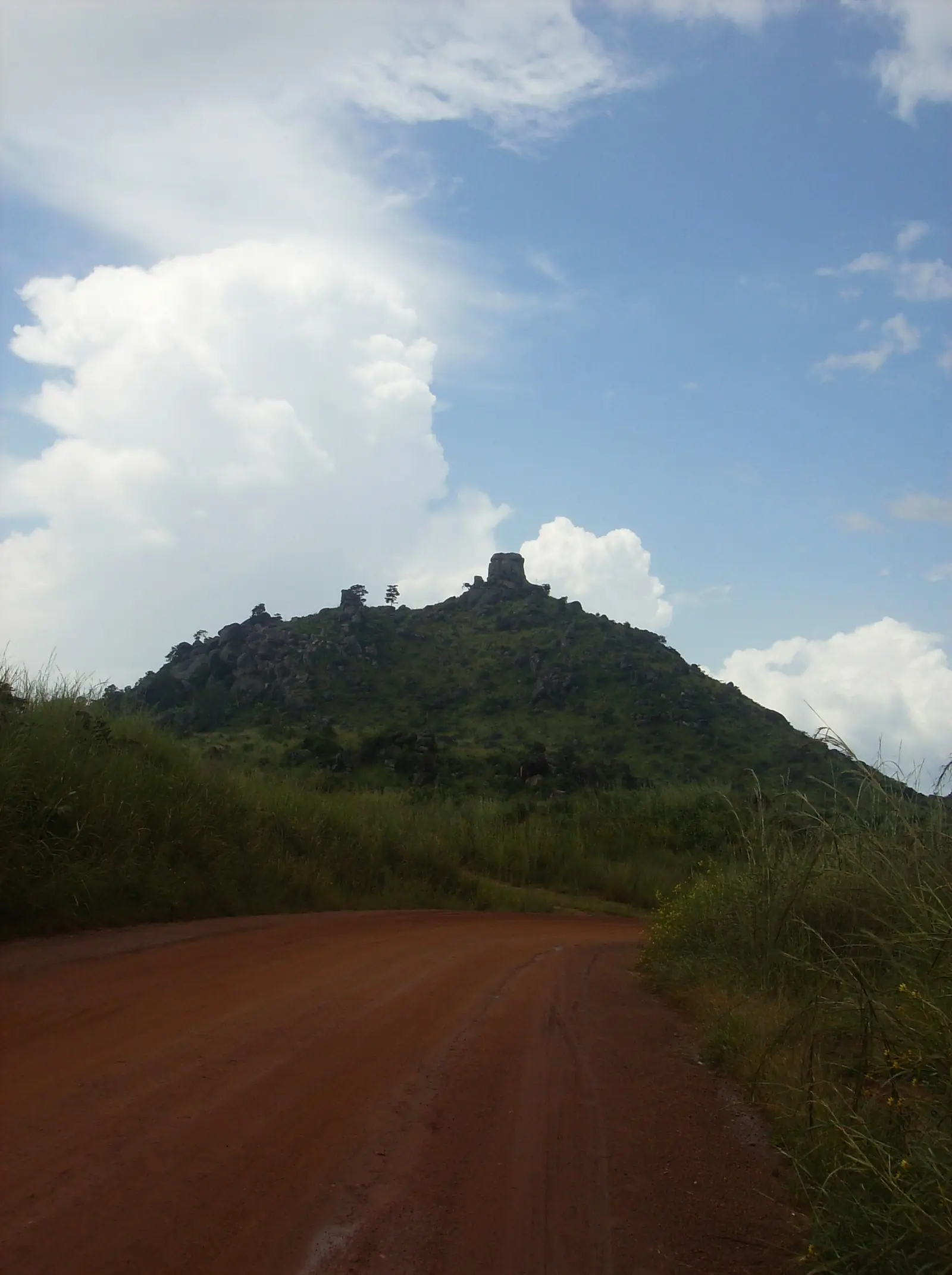
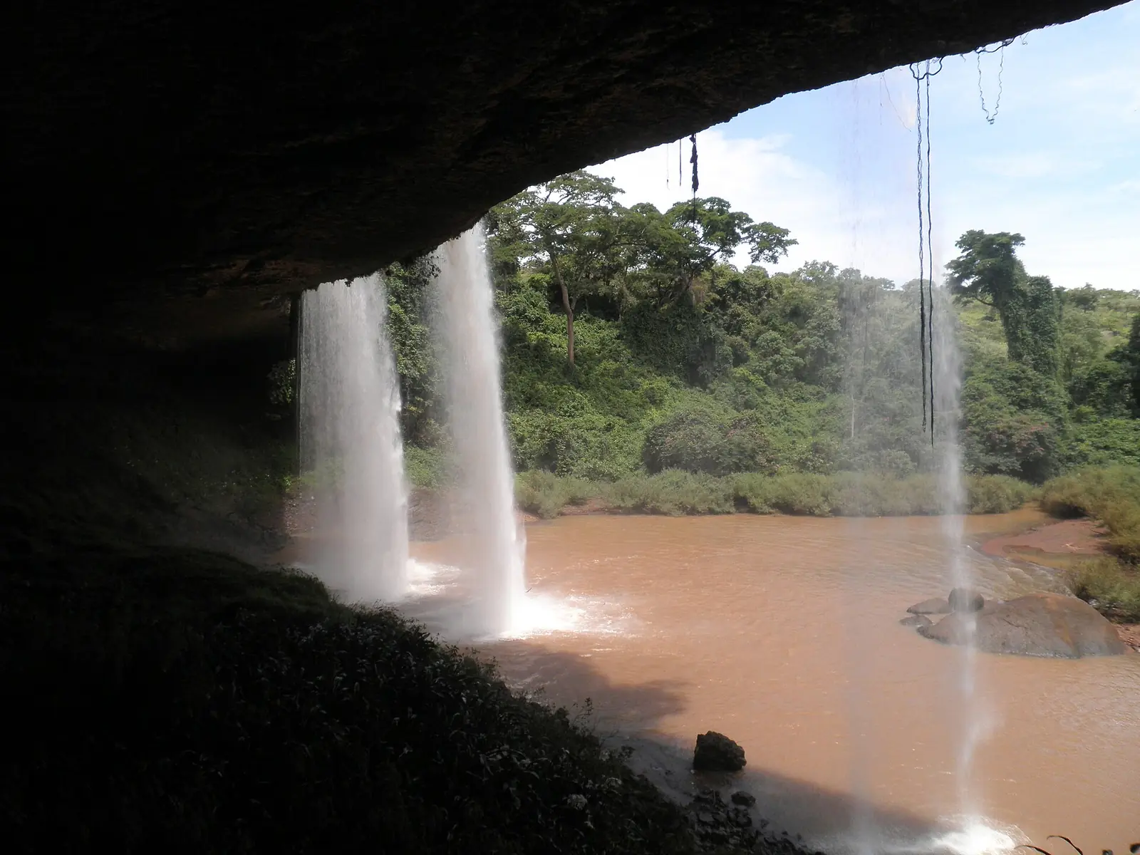
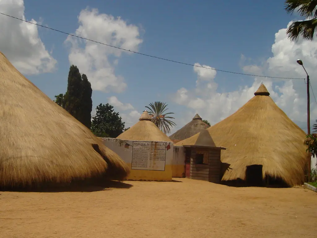
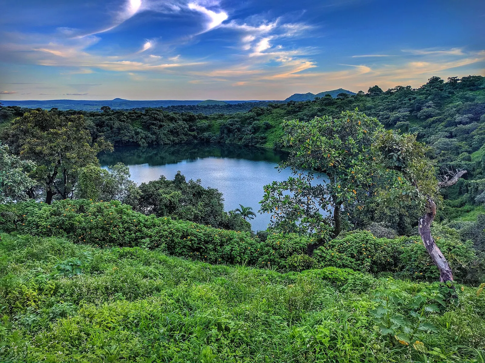
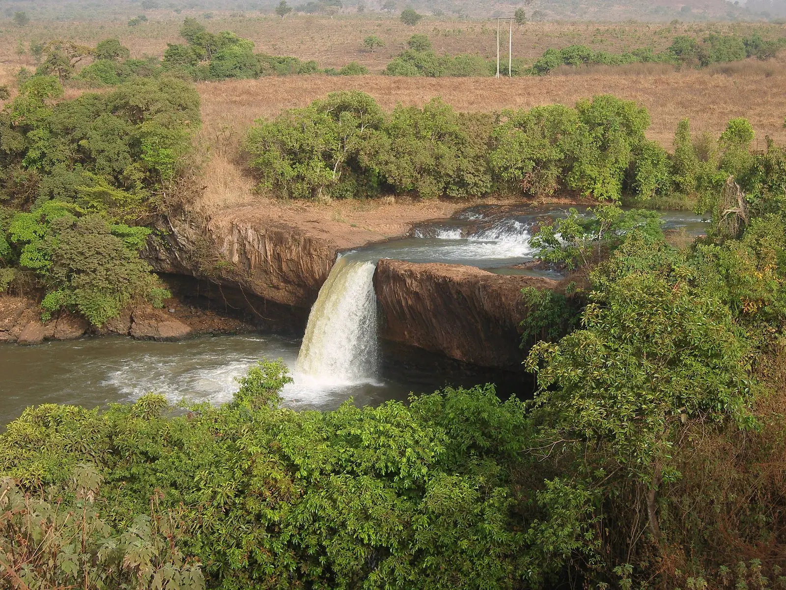
Vina, Adamawa's most populous division: Ngaoundéré and its lamidate, crater lakes such as Tison, and the Vina and Tello falls.
Subdivisions of Vina Division
Vina Division has 8 subdivisions.
Belel
Chief town: Belel
Martap
Chief town: Martap
Mbé
Chief town: Mbé
Nganha
Chief town: Nganha
Ngaoundéré I
Chief town: Ngaoundéré
Ngaoundéré II
Chief town: Ngaoundéré
Ngaoundéré III
Chief town: Ngaoundéré
Nyambaka
Chief town: Nyambaka
Places in Vina Division
- Population
- 317,888 (2005 census)1
Where it is and what it's like
Vina is the largest division of the Adamawa region, at 17,196 km², and holds the regional capital, Ngaoundéré. It covers the northern edge of the plateau, which the statistics office describes as dropping abruptly to the Bénoué basin at the Ngaoundéré escarpment, and further north at the Mbé cliff. Around Ngaoundéré, relatively recent lava flows have blocked valleys such as the upper Vina and left crater lakes, the best known being Tison and Mbalang.1,3
The Vina river is a tributary of the Logone, in the Lake Chad basin. Ngaoundéré's weather station recorded 2,248 mm of rain in 2023, 24% more than in 2022.1
People and how it's organised
The 2005 census counted 317,888 people, the most of any Adamawa division. Sources differ on the city itself in that census: 152,700 according to English Wikipedia, 189,800 according to French Wikipedia. Ngaoundéré was split in 2007 into three subdivisions, Ngaoundéré I, II and III, and an urban community was created over them in 2008. Martap, Nganha and Nyambaka also date from 2007, according to Osidimbea; Belel and Mbé complete the eight.1,2,4,5,6
The Mbum were the earlier inhabitants of the area. Fulani rulers have held Ngaoundéré since its founding, and the city also draws Dii, Gbaya and Pere settlers from the surrounding country.4,5
History
The city stands on the site of an earlier Mbum capital. The Fulani leader Ardo Njobdi founded the present lamidate around 1835, according to English Wikipedia; French Wikipedia dates his reign to 1836 to 1839. German troops took the town on 20 August 1901. The railway from Yaoundé was completed in 1973, and the University of Ngaoundéré opened in 1993.4,5
What it's known for
Most of the site's Adamawa places are here. The Lamidat of Ngaoundéré, the lamido's palace, is in the city centre, in the Ngaoundéré II subdivision. South of the city, Lake Tison, about 8 km out on the Meiganga road, the Vina Falls, about 15 km out, and the Wakwa research station all lie within Ngaoundéré I. The Tello Falls, about 44 km away on the Belel road, are in the Nyambaka subdivision. The statistics office also records a bauxite deposit of at least a billion tonnes at Minim-Martap.1,7,8
Main towns and getting there
Map
Still to confirm
Our sources can't yet confirm these points:
- Ngaoundéré's population at the 2005 census (152,700 or 189,800) and today
- The creation dates of the Belel and Mbé subdivisions
- The text of decrees 2007/115 and 2007/117 cited by French Wikipedia for the split of Ngaoundéré
- The seat of each of Ngaoundéré I, II and III within the city
- Current Camrail timetables and scheduled flights to Ngaoundéré
Sources for this page
Information checked on 19 November 2026. It may have changed since.
- Annuaire statistique de la région de l'Adamaoua, édition 2024: chapitre 1 (relief, hydrographie, mines, faune), Tableau 2.2 and Graphique 2.1 (administrative map and areas, source Services du Gouverneur), Tableau 3.1 (2005 census by division), Tableau 10.10 (tourist sites by division, 2020), Institut national de la statistique, Agence régionale de l'Adamaoua (undated)
- Département de la Vina, Osidimbea, la mémoire du Cameroun (undated)
- Vina (department), Wikipedia (19 November 2026)
- Ngaoundéré, Wikipedia (19 November 2026)
- Ngaoundéré, Wikipédia (19 November 2026)
- Vina (département), Wikipédia (19 November 2026)
- OpenStreetMap: boundary relations of Adamaoua's divisions and subdivisions, and reverse lookups of the site's place coordinates, OpenStreetMap contributors (Nominatim and Overpass API) (19 November 2026)
- Le tourisme dans le département de la Vina, annexe I, Harry Sadio Fopa, master's thesis, Université de Ngaoundéré (undated)