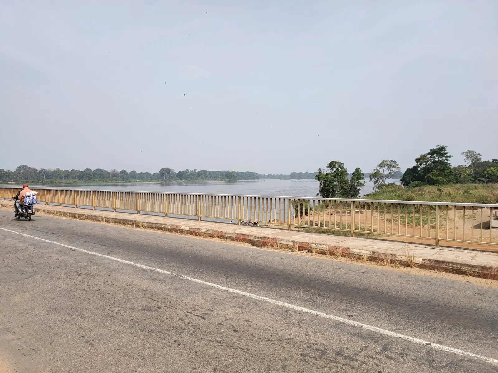
Lékié, the farming division just north of Yaoundé: Eton country, cocoa and food crops around Obala and Monatélé, and the Nachtigal Falls.
Subdivisions of Lékié Division
Lékié Division has 9 subdivisions.
Batchenga
Chief town: Batchenga
Ebebda
Chief town: Ebebda
Elig-Mfomo
Chief town: Elig-Mfomo
Evodoula
Chief town: Evodoula
Lobo
Chief town: Lobo
Monatélé
Chief town: Monatélé
Obala
Chief town: Obala
Okola
Chief town: Okola
Sa'a
Chief town: Sa'a
Places in Lékié Division
Where it is and what it's like
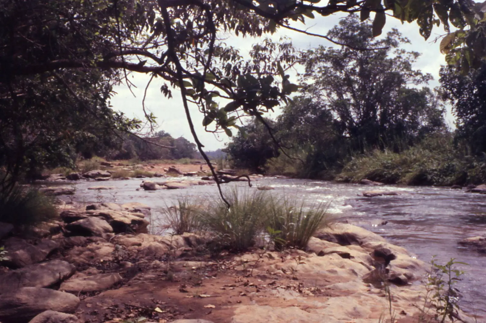
Lékié lies just north of Yaoundé, between the capital and the Sanaga. It is named after the Lekié river, which rises in the Okola council area and joins the Sanaga at Monatélé, the chief town. The statistics office places it partly in semi-deciduous forest and partly in wooded savanna with gallery forests along the rivers. Its area is 2,989 km².2,3
People
The 2005 census counted 286,050 people, and the statistics office projects 509,457 for 2023, or 170 per km², one of the region's highest densities outside Yaoundé. It lists the Beti groups of the Eton, Manguissa, Essele and Ngoe. French Wikipedia describes the Eton as the large majority and the Manguissa, in the north around Sa'a and Ebebda, as speakers of a Mbam language as well as Eton.3,2
History
What it's known for
Lékié is a farming division close to the capital. French Wikipedia calls it Cameroon's second cocoa producer and says its farmers supply much of the food sold in Yaoundé's markets, with more market gardening as cocoa pays less. Obala, the most populous subdivision, is the seat of a Catholic diocese and a cocoa centre. The Nachtigal Falls on the Sanaga, now the site of a hydroelectric plant, lie between Batchenga on the Lékié bank and Nachtigal village, in Ntui council, on the other. The regional tourism office's 2017 inventory counted twelve tourist sites in the division, including two waterfalls and three hills or rocks.2,6,3,7,8,4,9,10
Main towns and getting there
Map
Still to confirm
Our sources can't yet confirm these points:
- The chief town: INS lists Monatélé in one 2025 table and Obala in its administrative map
- Lékié's current share of Cameroon's cocoa and of Yaoundé's food supply (Wikipedia figures are not dated)
- Official current population (the 2023 figures are INS projections from the 2005 census)
Sources for this page
Information checked on 19 November 2026. It may have changed since.
- Département de la Lekié, Osidimbea, la mémoire du Cameroun (undated)
- Lekié (département), Wikipédia (19 November 2026)
- Annuaire statistique de la région du Centre, édition 2025: chapter 1 (relief, rivers, vegetation, protected areas; Tableau 1-2, ethnolinguistic groups), Tableaux 2-2 and 2-3 (administrative map at 31 December 2024, source MINAT), Tableau 4-6 (area and population by division, 2005 census and 2023 projection), Institut national de la statistique, Agence régionale du Centre (undated)
- OpenStreetMap Nominatim: boundary relations of the Centre's divisions and subdivisions (search), and reverse lookups of the site's place coordinates, OpenStreetMap contributors / Nominatim (19 November 2026)
- Obala (Cameroun), Wikipédia (19 November 2026)
- Obala, Wikipedia (19 November 2026)
- Nachtigal Hydropower Plant: Environmental and Social Data Sheet, European Investment Bank (undated)
- Chutes de Nachtigal and Nachtigal village, OpenStreetMap contributors (19 November 2026)
- Ntui, Wikipedia (19 November 2026)
- Annuaire statistique de la région du Centre, édition 2020: Tableau 21-1, tourist sites by division and type in 2017 (source MINTOUL, Centre regional delegation), Institut national de la statistique, Agence régionale du Centre (undated)
- Batchenga, Wikipédia (19 November 2026)