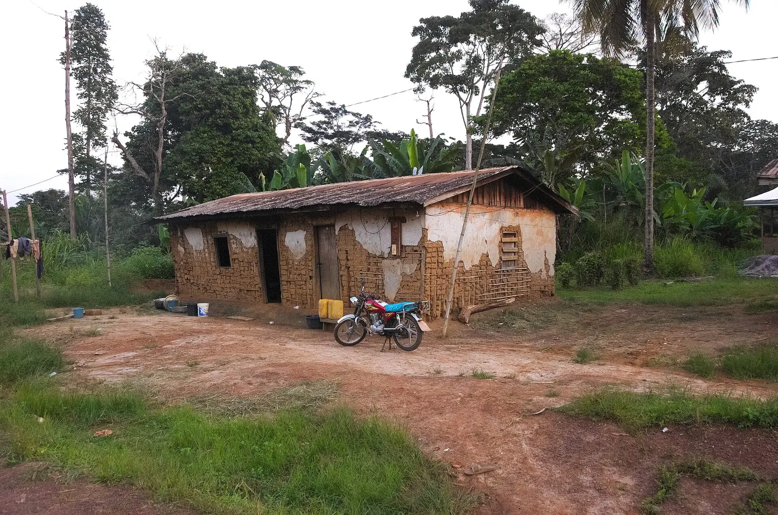
Dja-et-Lobo, the South region's largest division: Bulu forest country around Sangmélima, reaching the Dja river and the Gabon and Congo borders.
Subdivisions of Dja-et-Lobo Division
Dja-et-Lobo Division has 8 subdivisions.
Bengbis
Chief town: Bengbis
Djoum
Chief town: Djoum
Meyomessala
Chief town: Meyomessala
Meyomessi
Chief town: Meyomessi
Mintom
Chief town: Mintom
Oveng
Chief town: Oveng
Sangmélima
Chief town: Sangmélima
Zoétélé
Chief town: Zoétélé
Where it is and what it's like
Dja-et-Lobo covers the east of the South region and is its largest division. The statistics office gives its area as 19,910 km² in one table and 19,911 km² in another. It lies on the South Cameroon plateau, where Sangmélima stands at 711 m, and drains to the Congo basin: the Lobo runs through Sangmélima and joins the Dja, and the So'o is another Dja tributary. In the far south-east, the Mintom subdivision lies south of the Dja and borders Gabon and the Republic of Congo.1,4,6
People
The 2005 census counted 196,951 people, and the statistics office projects 258,926 for 2021, still only 13 per km². It lists the Bulu, the Fang and forest peoples, whom the office calls « Pygmées » as the division's founding groups. The Bulu are the main people of Sangmélima, and English Wikipedia adds the Fong and Zaman of the Dja valley to the Bulu group. Around Mintom, the Fang, the Baka and the Ndem are the native peoples.1,4,6,8
History
Sangmélima grew up under German rule, and the French made it a subdivision around 1925. French Wikipedia says the Sangmélima and Djoum subdivisions were detached from the Ntem region in 1951 to form a new region, which became a department in August 1959. Since 1983 it has belonged to the South, then a province. Communes were split as the population grew: Djoum gave rise to Mintom and Oveng in 1995, and Meyomessala was carved from Bengbis and Sangmélima in 1992.3,4,5,6,7,9
What it's known for
The Dja Faunal Reserve, a UNESCO World Heritage Site since 1987, is almost encircled by the Dja river. French Wikipedia puts its western limit about 50 km from Sangmélima, though its Sangmélima article gives 1984 for the listing. The site describes the reserve in the East region. Djoum is a logging centre with a sawmill. Meyomessala is the home commune of President Paul Biya, born at Mvomeka'a in 1933, and has the Mekin dam on the Dja, under construction since 2012.4,5,9,10,11
Main towns and getting there
Sangmélima, the chief town, had 51,333 people in 2005 and is home to a reference hospital opened in 2015. It lies about 170 km south of Yaoundé. The RN9 leads 118 km north to Mbalmayo and east to Mintom, 192 km away by the Sangmélima article and 187 km by the Mintom one. The RN17A leads 112 km west to Ebolowa, and the RN17B 133 km south to the Gabon border. Djoum is 108 km east on the RN9 and Zoétélé 54 km north. The nearest airfield is at Mvomeka'a.4,5,6,12
Map
Still to confirm
Our sources can't yet confirm these points:
- The official chief town of each subdivision (the statistics yearbook lists subdivisions without them)
- How much of the Dja Faunal Reserve lies inside the division
- Whether Mvomeka'a airfield takes public flights
- Whether the Mekin dam is now in service
Sources for this page
Information checked on 19 November 2026. It may have changed since.
- Annuaire statistique de la région du Sud, édition 2022: Tableau 3-4 (arrondissements), Tableau 3-10 (areas, chief towns and peoples, source DRMINEPAT), Tableau 4-2 (population by division), Institut national de la statistique, Agence régionale du Sud (undated)
- Dja-et-Lobo, Wikipedia (19 November 2026)
- Dja-et-Lobo, Wikipédia (19 November 2026)
- Sangmélima, Wikipédia (19 November 2026)
- Djoum, Wikipédia (19 November 2026)
- Mintom, Wikipédia (19 November 2026)
- Departments of Cameroon (history of changes), Statoids (19 November 2026)
- Beti-Pahuin peoples, Wikipedia (19 November 2026)
- Meyomessala, Wikipédia (19 November 2026)
- Dja Faunal Reserve, Wikipedia (19 November 2026)
- Réserve de faune du Dja, Wikipédia (19 November 2026)
- Zoétélé, Wikipédia (19 November 2026)