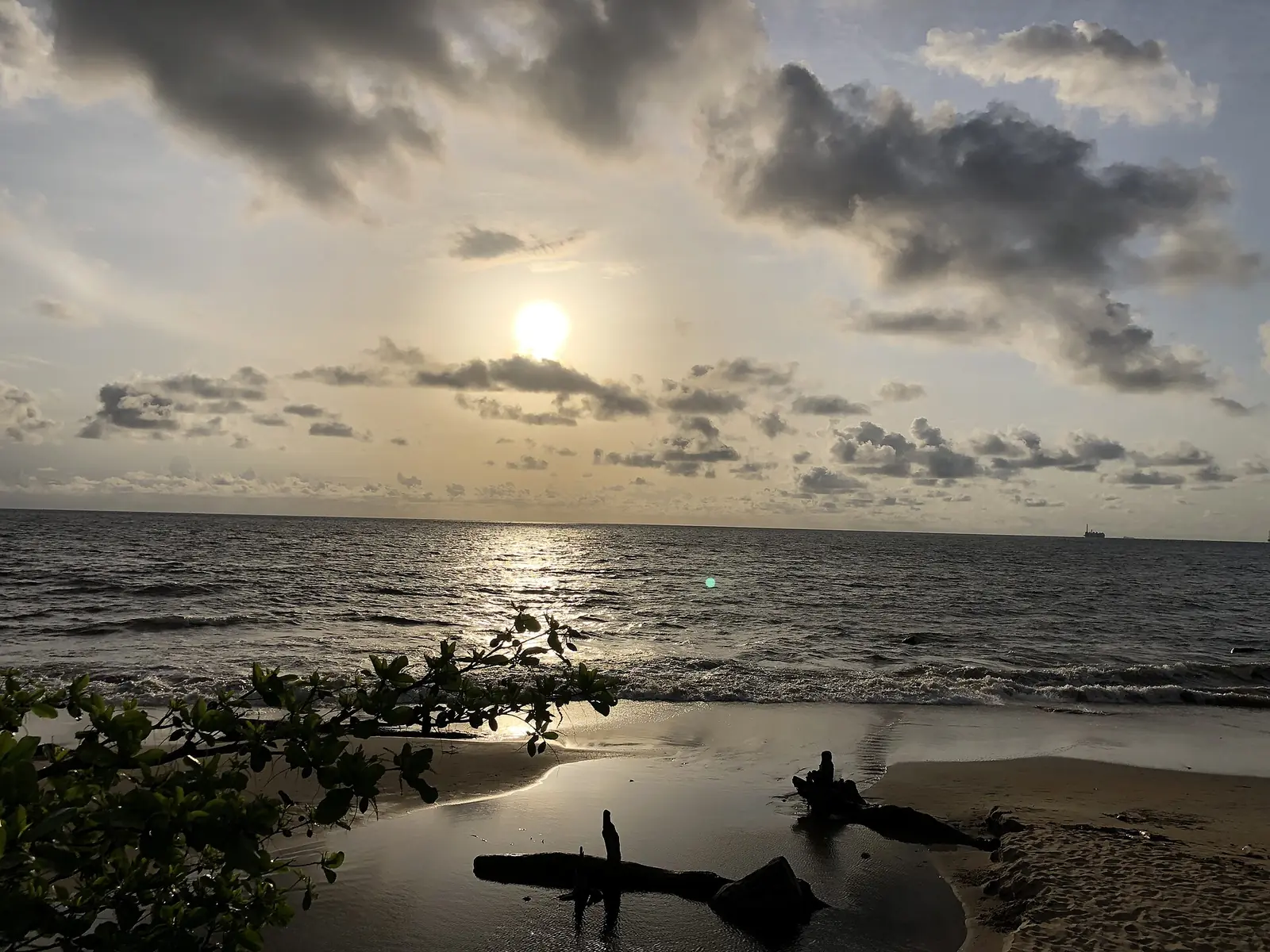
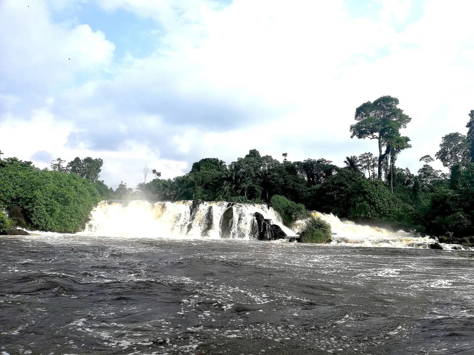
Océan, the South region's coastal division: Kribi's beaches and Lobé Falls, its deep-sea port, Ebodjé's turtles and Campo Ma'an forest.
Subdivisions of Océan Division
Océan Division has 9 subdivisions.
Akom II
Chief town: Akom II
Bipindi
Chief town: Bipindi
Campo
Chief town: Campo
Kribi I
Chief town: Kribi
Kribi II
Chief town: Kribi
Lokoundjé
Chief town: Fifinda
Lolodorf
Chief town: Lolodorf
Mvengue
Chief town: Mvengue
Niété
Chief town: Adjap
Places in Océan Division
Where it is and what it's like
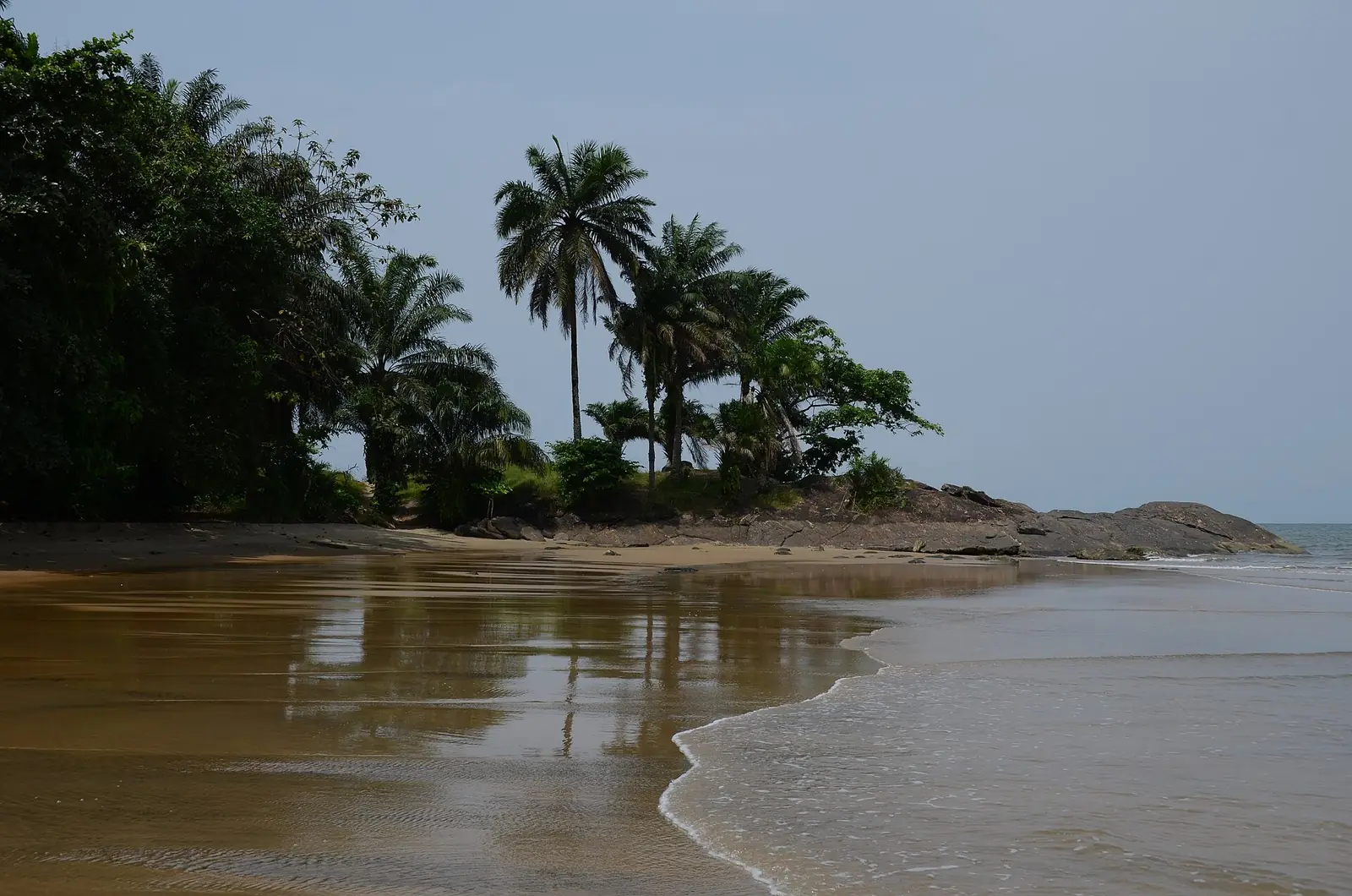
Océan is the South region's Atlantic side, reaching south to the Ntem, which marks the Equatorial Guinea border at Campo. The statistics office gives its area as 11,272 km² in one table and 11,280 km² in another, and describes a coastal plain about 150 km long south of Kribi. The Lobé and the Kienké reach the sea through rapids. Inland, the land rises to the Ngovayang massif above Lolodorf, at 1,090 m. At Kribi, September is the wettest month, with 483 mm of rain.1,4,6,8
People
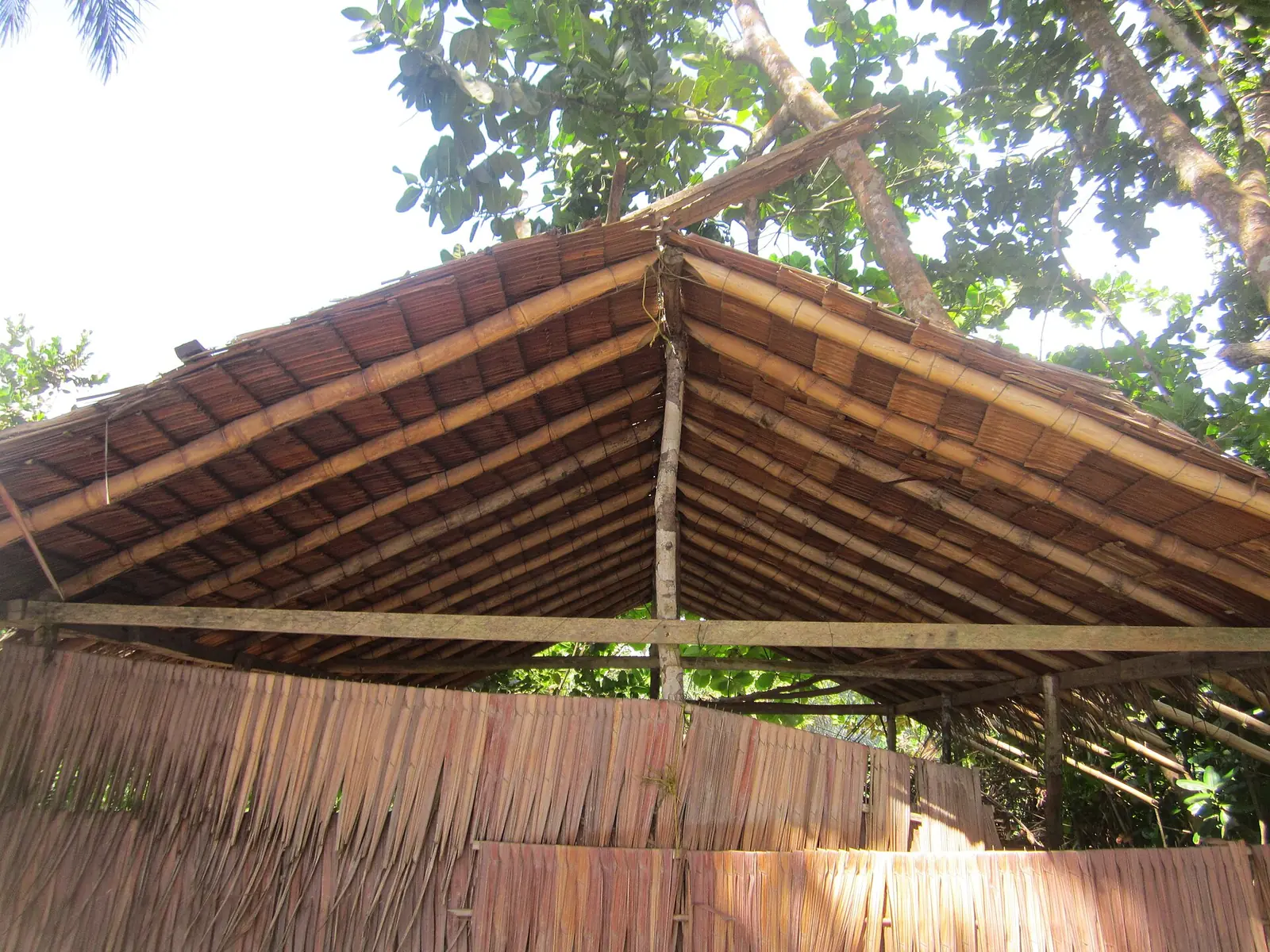
The 2005 census counted 179,093 people, and the statistics office projects 227,763 for 2021. Its list of founding peoples is the region's longest: Bulu, Bassa, Ntumu, Ewondo, Batanga, Fang, Mabéa, Yassa, Mvaé, Ngoumba and forest peoples, whom the office calls « Pygmées ». The coastal Batanga, Mabéa and Yassa fish, and the Bagyeli live in the forest around Lolodorf and Campo Ma'an.1,5,6
History
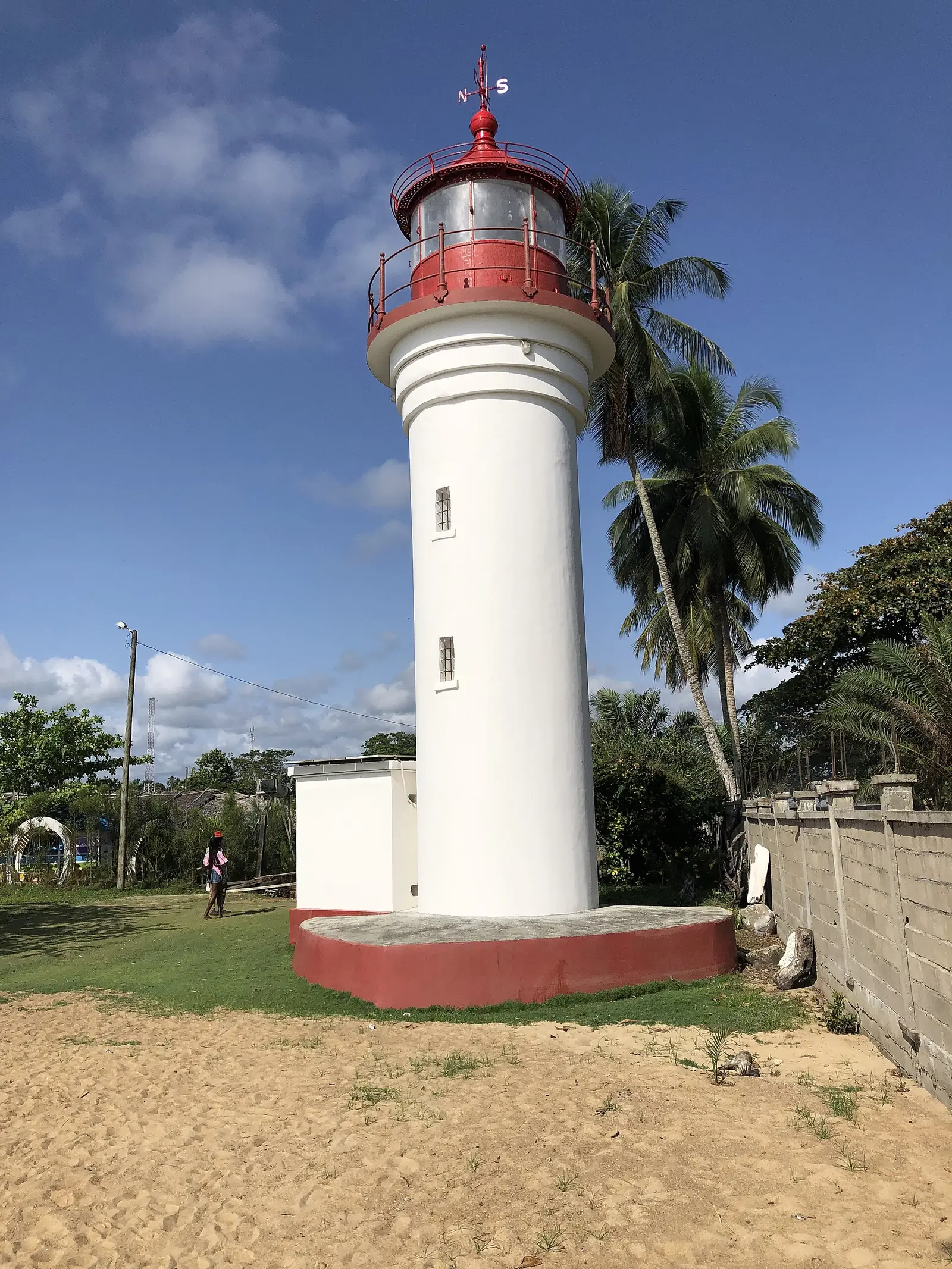
The Germans founded a station at Lolodorf in 1893 to guard the Kribi–Yaoundé trade route, and built Kribi's lighthouse in 1906. The botanist Georg Zenker settled at Bipindi in 1896 and planted rubber and cocoa. Under French mandate, Kribi became the seat of the Kribi-Campo-Lolodorf district in 1916. The department of Kribi was created in 1961 and renamed Océan in 1986. In 2007 the Kribi subdivision was split into Kribi I, Kribi II and Lokoundjé, giving the current nine.2,3,4,6,7
What it's known for
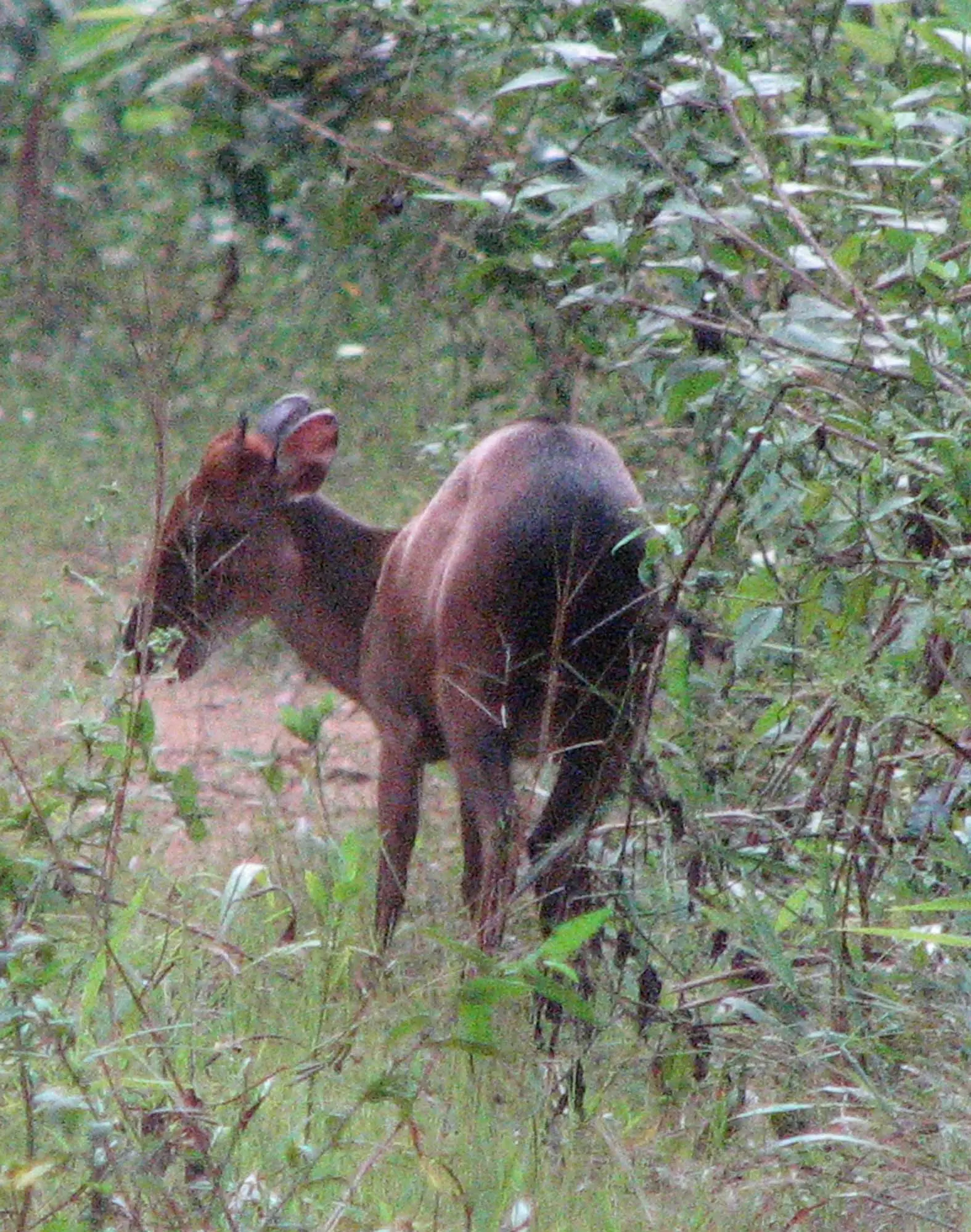
Most of the region's hotels are here, according to the statistics office. The site's places are all on the coast: Kribi Beach and the Lobé Falls and Grand Batanga in Kribi I, the fishing village of Londji in Kribi II, and the turtle beach of Ebodjé in Campo, by OpenStreetMap's reckoning. Campo Ma'an National Park, which English Wikipedia places in Océan, borders the Vallée-du-Ntem and Mvila to the east. Kribi also has a deep-sea port, opened in 2018, and a 216 MW gas power station.1,4,5,9
Main towns and getting there
Kribi, the chief town, sits at the mouth of the Kienké, about 150 km by road south of Douala. Osidimbea dates the paved Edéa–Kribi road, about 105 km, to 1990. From Kribi, the RN7 runs 64 km south to Campo, and the P8 runs inland to Bipindi, 67 km east, and Lolodorf, 110 km north-east, on its way to Yaoundé. Kribi and Ebolowa are linked only by unpaved roads.3,4,6,7,8,10
In pictures
Map
Still to confirm
Our sources can't yet confirm these points:
- The seat of the Lokoundjé subdivision (Fifinda, per one press report)
- The creation year of the Bipindi subdivision (1992 or 1994)
- Which subdivisions Campo Ma'an National Park covers
Sources for this page
Information checked on 19 November 2026. It may have changed since.
- Annuaire statistique de la région du Sud, édition 2022: Tableau 3-4 (arrondissements), Tableau 3-10 (areas, chief towns and peoples, source DRMINEPAT), Tableau 4-2 (population by division), Institut national de la statistique, Agence régionale du Sud (undated)
- Océan (département), Wikipédia (19 November 2026)
- Océan: arrondissements and communes, with creation dates, Osidimbea (19 November 2026)
- Kribi, Wikipedia (19 November 2026)
- Campo Ma'an National Park, Wikipedia (19 November 2026)
- Lolodorf, Wikipédia (19 November 2026)
- Bipindi, Wikipédia (19 November 2026)
- Campo (Cameroun), Wikipédia (19 November 2026)
- OpenStreetMap Nominatim: boundary relations of the South region's divisions and subdivisions (search), and reverse lookups of the site's place coordinates, OpenStreetMap contributors / Nominatim (19 November 2026)
- Ebolowa, Wikipédia (19 November 2026)